Pete's Walks- Southeast from Watlington Hill (page 1 of 3)
If you are considering walking this route yourself, please see my disclaimer. You may also like to see these notes about the maps and GPX files.
Google map of the walkDownload GPX file of the walk
I did this roughly 10.5 mile circular walk on Sunday, 10th November 2013. It was a new route for me, though almost entirely on paths I've used on other walks. The only bit that was new was a bridleway going north through College Wood to Greenfield - but as this entailed a short road walk afterwards, if I did the walk again I'd probably take a slightly different route (which I've shown as Alternative 1 on the Google map).
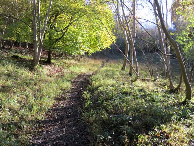
For the second walk in a row, I started walking shortly after 11am. I had again deliberately started very late, as I'm still not fully fit and only wanted to walk for about 3-4 hours with a short lunch stop in the middle. From the Watlington Hill car park, I turned right and followed the road towards Christmas Common. At the end of the road I turned left for a short distance, before taking a path on the right. This entered a wood, at first along a surfaced drive. The path continued ahead into the wood when the drive turned right, soon going left. At a path T-junction of sorts I turned right, now in an area of beech trees. After a couple of hundred yards maybe, I kept left when the path forked. There was now a very pleasant section of over a mile, gradually descending through woods. I spotted a small number of Fallow Deer on the path ahead of me at one point.
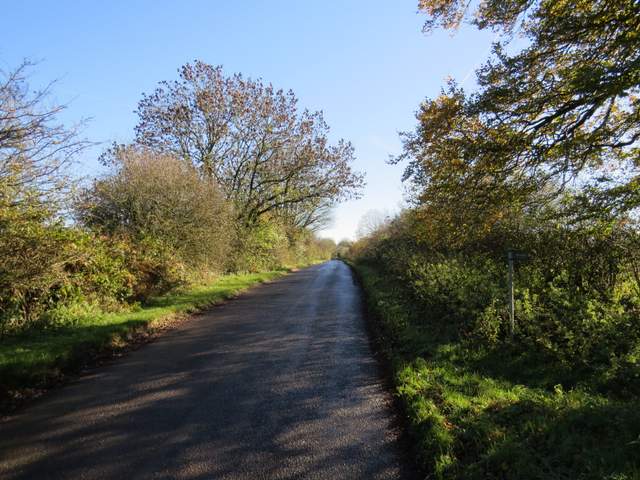
The road from the Watlington Hill car park to Christmas Common
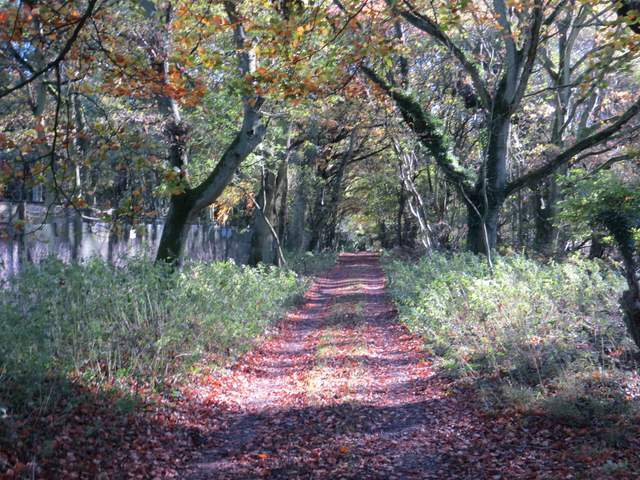
The start of the path from Christmas Common
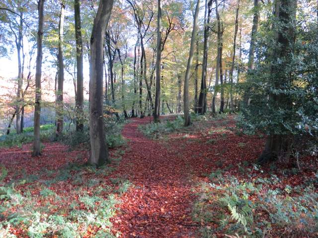
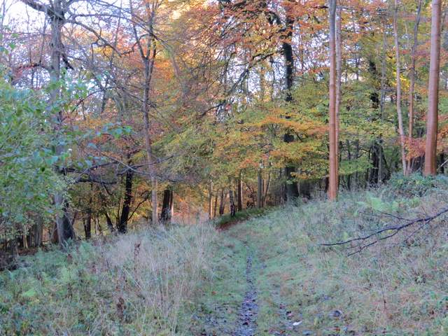
The path through Shotridge Wood
The path through Shotridge Wood
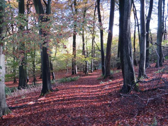
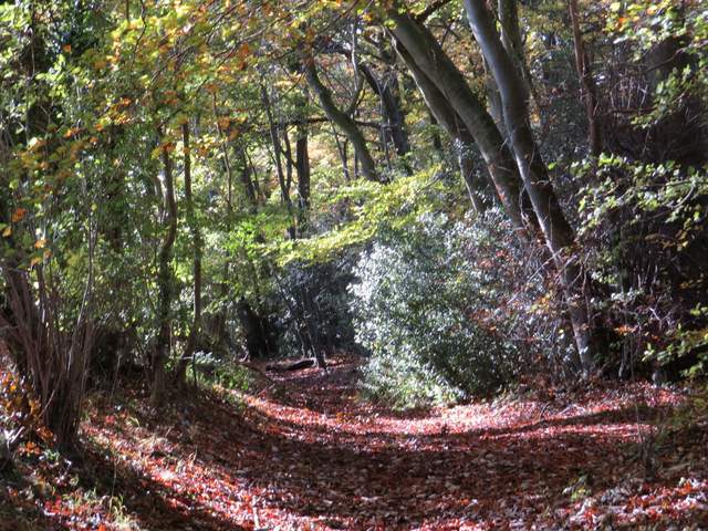
Further along the same path
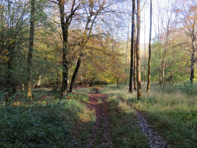
The same path, now in Blackmoor Wood
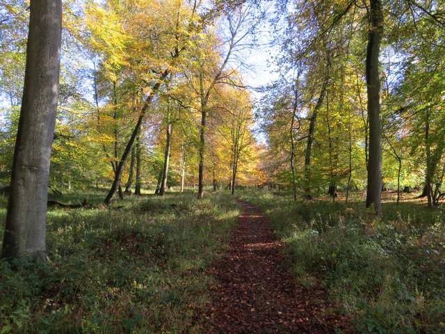
The path continuing eastwards - I'm not sure which wood it's in now
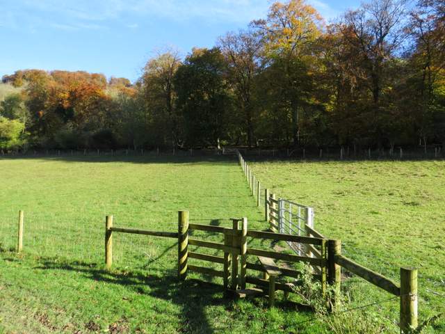
Shortly after passing a statue, the path ended at a drive in the Wormsley estate. Here I turned right for a few yards before taking a path on the other side of the drive. The path crossed a meadow or pasture, went over another drive and then crossed a larger field (grass, with a strip of maize over to my left). Beyond this field, I turned right along a bridleway heading south through the Wormsley Valley. When this reached a drive, I turned sharp left and took a path across a field to reach Hale Wood. The path continued through this beech wood, then rose across a narrow grass strip to reach Great Wood.
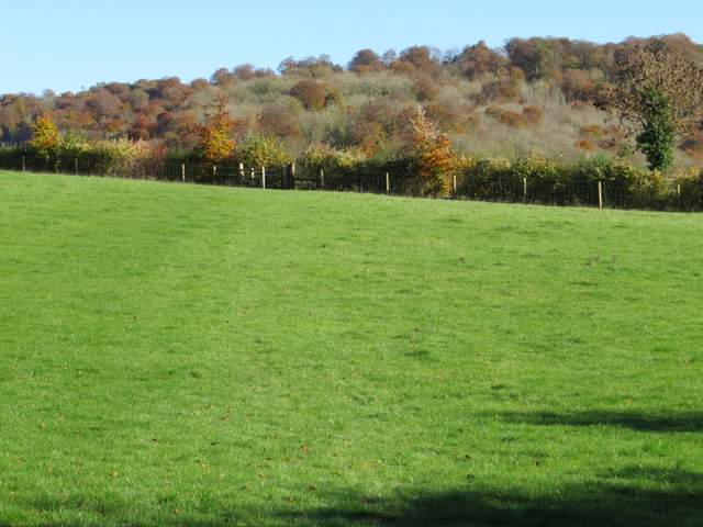
The first field after the first drive on the Wormsley estate
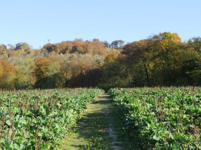
The second field after crossing another drive on the Wormsley estate
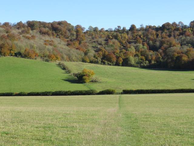
The bridleway going south through the Wormsley valley
The path going east to Hale Wood
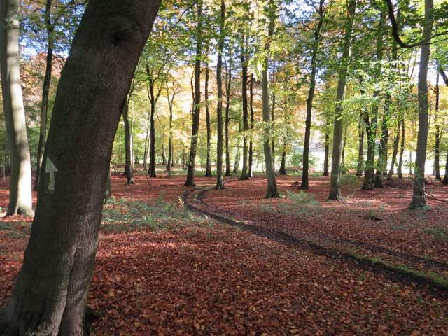
Hale Wood
The path continuing from Hale Wood to Great Wood
The path rose steadily uphill through Great Wood, turning right to go up the slope at an angle before turning left and levelling out near the top of the hill. I'm definitely out of shape and was struggling a bit by the time I got here. The path then turned right, leaving the wood and crossing a meadow before running between gardens to reach a lane in Ibstone, close to Hellcorner Farm. I turned right and followed the lane south, carrying on along the bridleway that continues from the lane's end.
The steep path up through Great Wood

The path from Great Wood to the lane at Ibstone
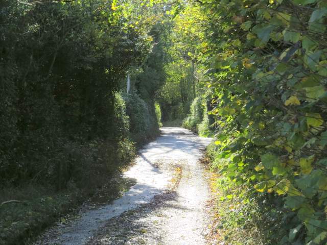
The lane near Hellcorner Farm
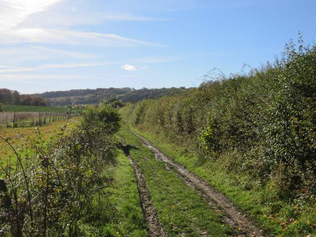
The bridleway that is the continuation of the lane, heading south