Pete's Walks- Cobblershill and Wendover Woods (page 2 of 4)
About half a mile from the path crossroads I came to a section of the Ridgeway National Trail (marked by an acorn sign on a wooden fingerpost), where I turned right. I followed the Ridgeway through the wood to reach a road (the one to the Coombe Hill car park that I often start walks from). I turned right and followed the road uphill for a short distance, before turning left and continuing along the Ridgeway as it headed north through the wood on top of Lodge Hill. After a few hundred yards I went through a metal kissing gate (I usually turn right here to get to the Coombe Hill car park), and stayed on the Ridgeway as it went a few yards left before turning right and continuing northwards. There was a long and steep slope dropping down to my left, with views ahead towards the Vale of Aylesbury and a narrow belt of scrubby bushes on my right. The path took me to the Boer War monument on Coombe Hill.
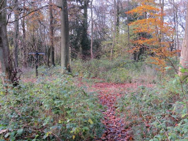
The junction with the Ridgeway in Linton's Wood, where I turned right
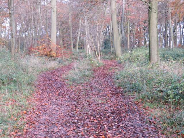
The Ridgeway going north through Linton's Wood
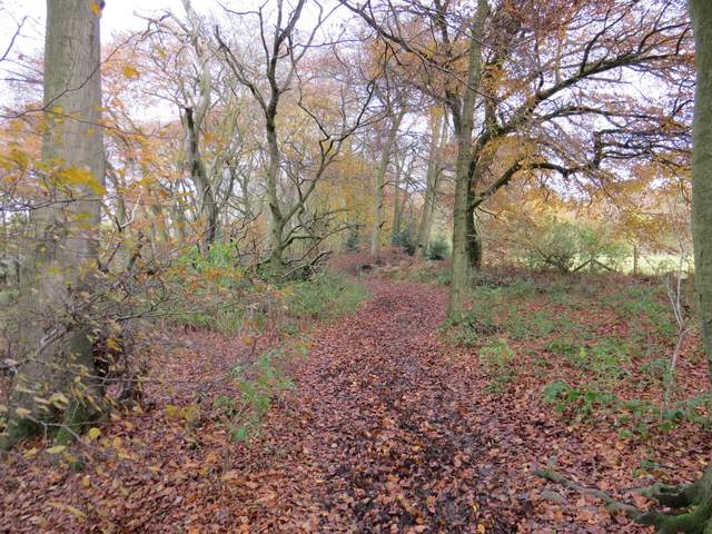
The Ridgeway going north through the wood on Lodge Hill
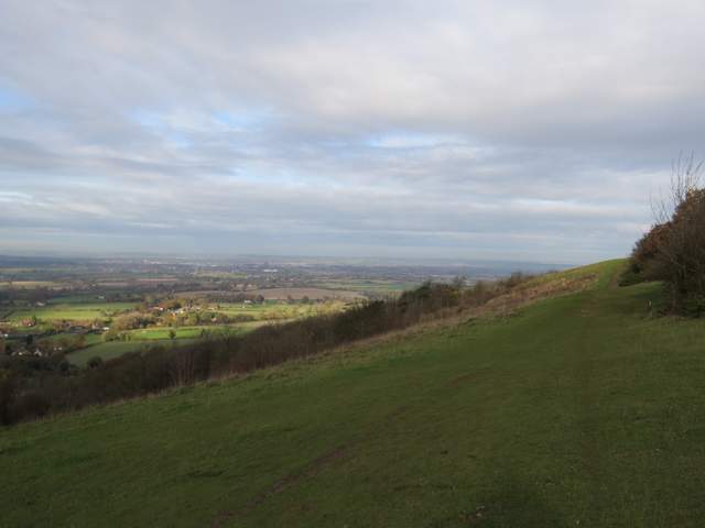
The path Ridgeway continuing north along the top of Coombe Hill
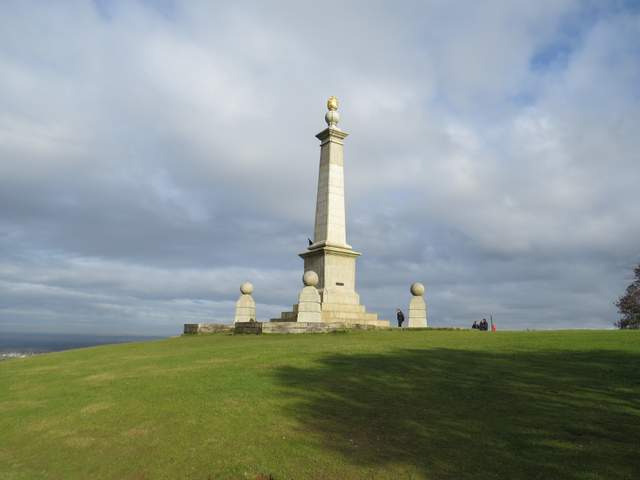
The monument on Coombe Hill (a memorial to the men of Buckinghamshire who died in the Boer War)
After admiring the views out over the Vale of Aylesbury and to the nearby Beacon Hill, I continued along the Ridgeway as it turned right and headed eastwards to Bacombe Hill (it initially follows a grassy strip, NOT the surfaced path a little to the right). After maybe a quarter of a mile the path went through two kissing gates and continued with bushes or trees either side. Beyond another kissing gate there was a more open grassy strip where two paths forked slightly - the Ridgeway took the left fork which started to very gradually descend the flank of Bacombe Hill, but I took the right fork which stayed nearer the top of the hill. I kept right again at another slight fork just before some bushes, and continued on to reach a tumulus (or ancient burial mound)
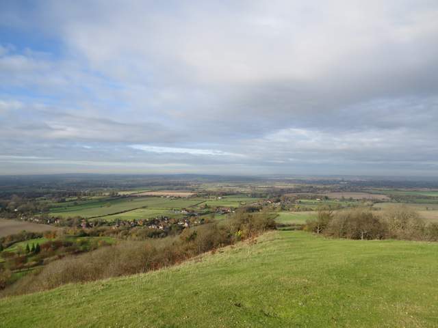
A view out over the Vale of Aylesbury from Coombe Hill
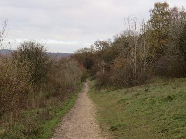
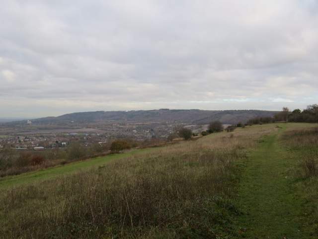
Looking east from the monument towards Wendover Woods - the route continues along the grass strip between the bushes
The Ridgeway heading from Coombe Hill to Bacombe Hill
Bacombe Hill - the Ridgeway is on the green strip to the left, while I took the higher path nearer the top of the slope
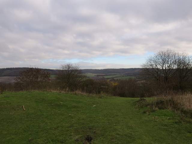
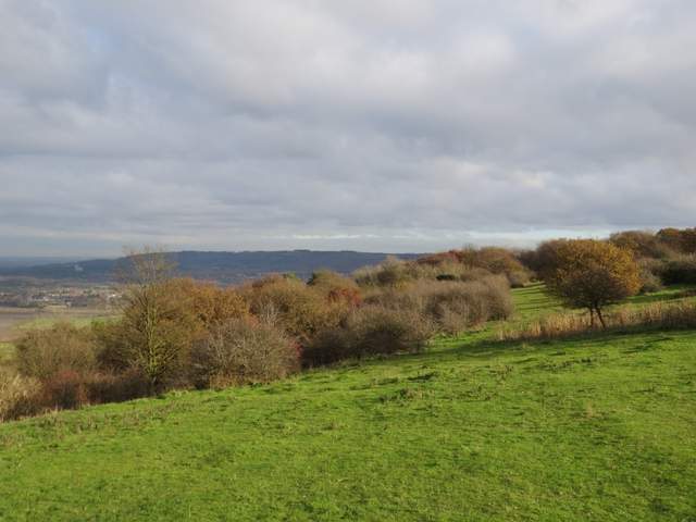
Looking towards Boddington Hill (left) and the valley called The Hale, from the tumulus on Bacombe Hill
I turned right at the tumulus, dropping steeply between bushes to reach a bridleway. On the opposite side, I went over a stile and continued downhill (and slightly left) across a large paddock to reach Bacombe Lane. I turned left, and followed the lane all the way to its end on the edge of Wendover. Here I crossed a road and went a few yards right, before turning down Chapel Lane.

Boddington Hill and The Hale again, from the path descending across a paddock to Bacombe Lane
Bacombe Lane
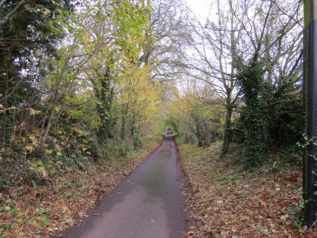
Chapel Lane, Wendover
I passed a playing field and a small meadow on my right, then turned right along a footpath with a stream on my left (I remembered once seeing a Grey Wagtail somewhere along this stream). After a hundred yards or so I turned left and crossed the stream, the path continuing some distance between garden fences and hedges to reach a road on the edge of Wendover. I went a short way to the right, then turned left into Hale Lane. I followed the lane for some distance, very gently rising uphill, then took a track on the left that continued rising up the side of the wooded Boddington Hill, part of Wendover Woods.
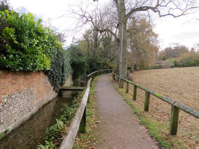
Path beside the stream in Wendover
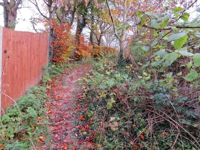
The footpath going east through the southernmost part of Wendover
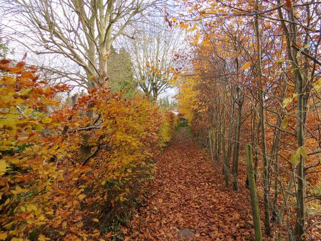
The footpath going east through the southernmost part of Wendover
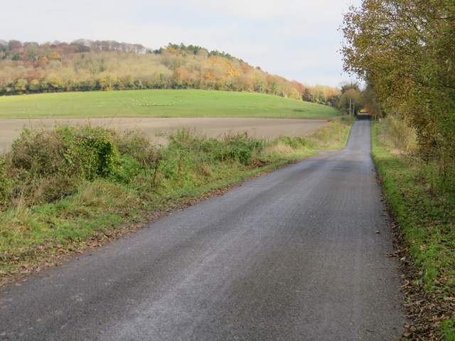
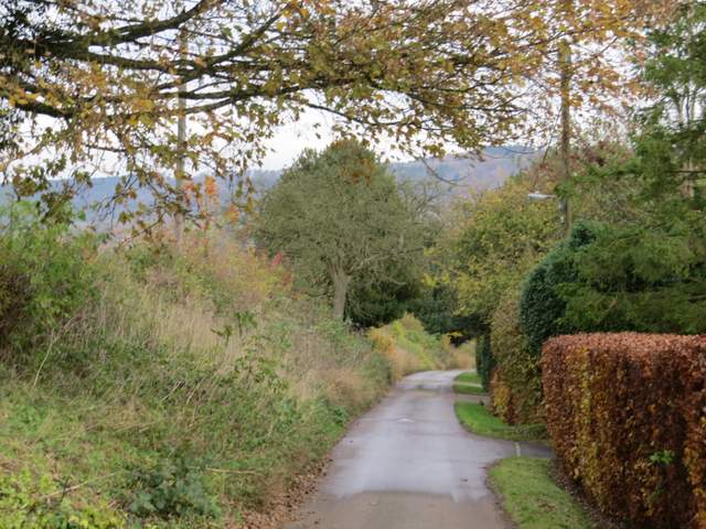
Hale Lane, with Boddington Hill on the left