Pete's Walks- Cobblershill and Wendover Woods (page 3 of 4)
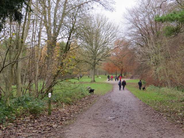
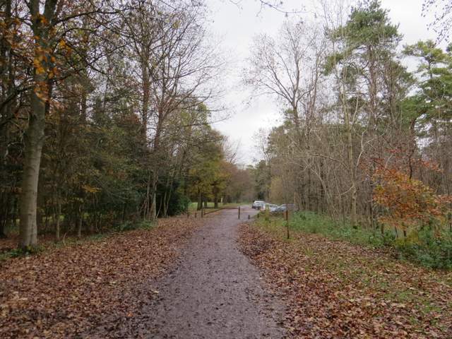
I normally turn off where another track goes sharply left to climb round the western side of Boddington Hill, but today for the first time I carried straight on. The track was wide and reasonably surfaced, with the trees of Wendover Woods on either side. Somewhere in the trees rising up on my left was the remains of the Iron Age Hill Fort that surmounts Boddington Hill. After a while another path came in from the right, and a couple of walkers were getting their breath back after what looked like a very steep climb coming up that way. The combined paths now turned left and soon came to a T-junction where I turned right (I was thus re-joining the route I normally take round the other side of Boddington Hill). I was now on the main track leading to the visitor centre in Wendover Woods - I'd already passed several people walking their dogs and now their were a dozen or more dog-walkers ahead of me on the track.
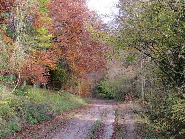
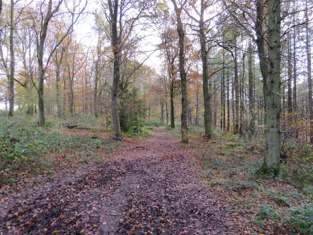
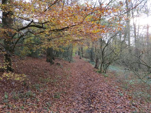
The track up the right side of Boddington Hill
The track up the right side of Boddington Hill
The track up the right side of Boddington Hill
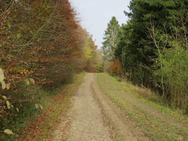
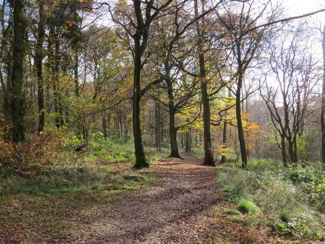
The track to the visitor centre in Wendover Woods
The track to the visitor centre in Wendover Woods
When I reached the car park for the visitor centre, I made my way over to the right of the centre. I wanted to find a public footpath that is shown on the map, but wasn't too hopeful of actually finding it - I've always found the OS map to be a bit vague or unclear here, presumably due to the development of visitor facilities here in recent years. Anyway I found the start of a track going right, but soon realised this was the way I usually go and I wanted a path further left. Anyway, I stopped for lunch at a bench a hundred yards or so along this track, admiring the view ahead over The Hale. Lunch over, I decided to take the path going left from where the bench was - it was marked as being for walkers only, but did not have any public footpath signs or waymarks. Initially the path was part of a 'Twig Trail' (some sort of nature activity for children I suppose) but I soon went through some wooden barriers and continued along a clear path through the woods. The path went on through the woods for about a mile - although it wasn't the path I'd been looking for, I knew I couldn't go far wrong - a short distance to my right the woods sloped steeply downhill (the footpath I usually take was partway down the slope), while over to my left was the exit road from the visitor centre. As long as I kept somewhere between the two, I knew I was heading in the direction I wanted. I started to pass some white signs indicating it was a permissive bridleway, and then came to a point where I could see the path dropping steeply downhill ahead of me. I definitely didn't want to go downhill, but fortunately at this point I saw another permissive bridleway going left, still along the top of the slope. I took this, and after a few hundred yards came to a spot I recognised, a section of the Ridgeway where it rises steeply in an old 'hollow way' or sunken lane, on the south-eastern edge of Wendover Woods (on the OS map this point is roughly at the south-western corner of Hengrove Wood). My original planned route would have brought me here anyway by a slightly longer route that would have involved some road walking (looking at the map now, I think it would also have involved a long stretch along the exit lane from the visitor centre), so by good fortune I'd found a better route - the long walk through the woods had been very pleasant, if a little muddy in places.
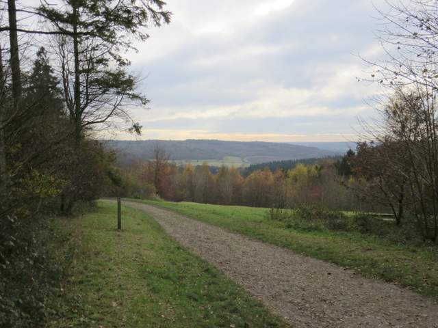
The view over The Hale to Barn Wood, from my lunch spot (a bench at the start of the long unmarked south path through Wendover Woods)
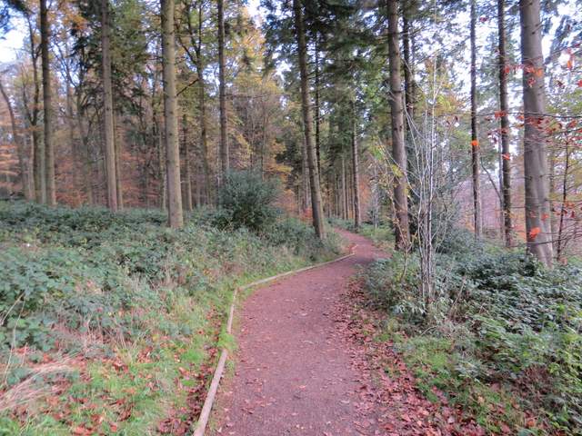
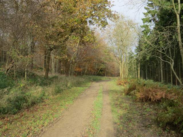
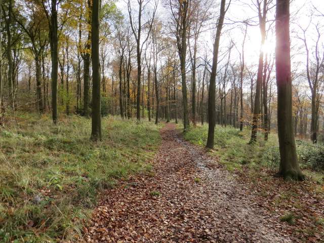
The start of the long unmarked south path through Wendover Woods
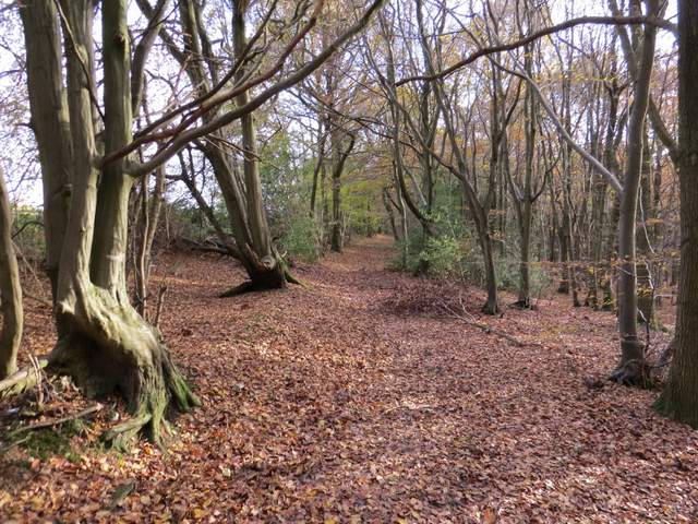
The long unmarked south path through Wendover Woods
The long unmarked south path through Wendover Woods
The long unmarked south path through Wendover Woods
The long unmarked south path through Wendover Woods
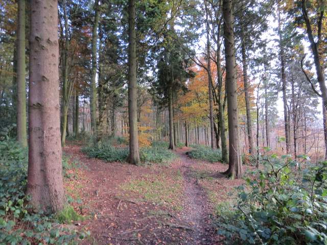
I crossed over the Ridgeway and followed a footpath just inside the edge of a wood. After some distance it rejoined the Ridgeway (which had gone down the sunken lane, only to turn sharply left and come back up the same slope), and I continued along just inside the wood. At one point I passed a gateway on my left, and spotted a fox sitting in the middle of a meadow of long grass. I crossed a lane (Hale Lane, which I'd walked along earlier) and continued along the Ridgeway, now going southwest through Hale Wood. There had clearly been forestry operations going on here recently, and the track was very muddy indeed. I looked for a footpath going very slightly left but saw no sign of one. After maybe a quarter of a mile I came to fingerpost indicating a path crossroads, where I turned left - I soon crossed the path I'd been looking for, which was very faint and unclear anyway. The path I was on left the wood by a cottage and followed the edge of a field a short way before continuing across the field to reach a belt of trees through which the ancient earthwork of Grim's Ditch ran.
The path the over side of where I crossed the Ridgeway

A Fox sitting in a meadow beside the wood - not great, but the best shot yet I've got of one
Back on another section of the Ridgeway, heading to Hale Lane
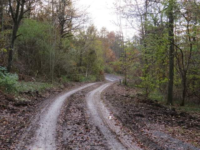
The Ridgeway continuing along a very muddy forestry track the other side of Hale Lane
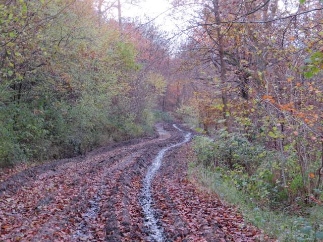
The Ridgeway continuing along a very muddy forestry track the other side of Hale Lane
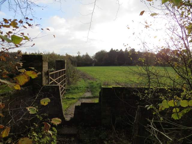
The path going south from Hale Wood (the earthwork of Grim's Ditch runs through the trees on the far side of the field)