Pete's Walks- Bison Hill and Totternhoe (page 1 of 3)
If you are considering walking this route yourself, please see my disclaimer. You may also like to see these notes about the maps and GPX files.
Google map of the walkDownload GPX file of the walk
I did this roughly 8.6 mile circular walk on Saturday, 9th August 2014. This was basically a version of the Kensworth-Totternhoe walk I do, shortened by starting at Bison Hill in Whipsnade instead.
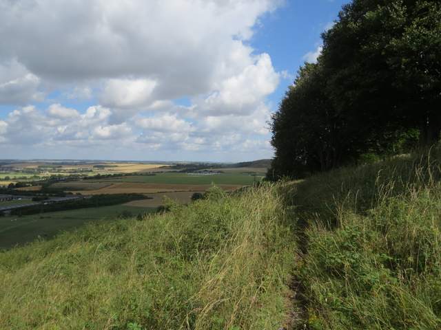
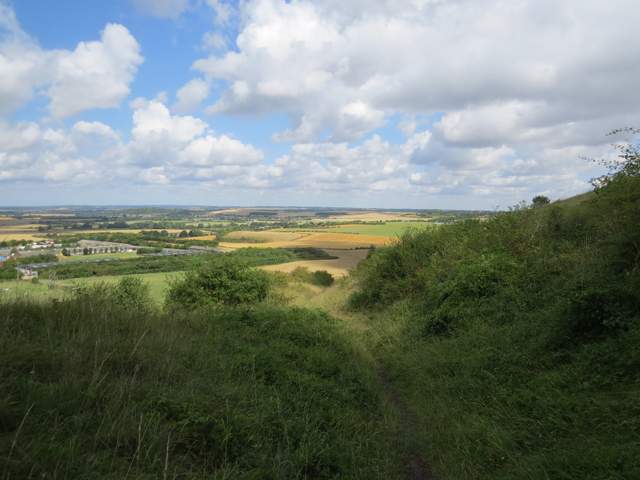
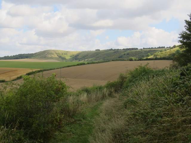
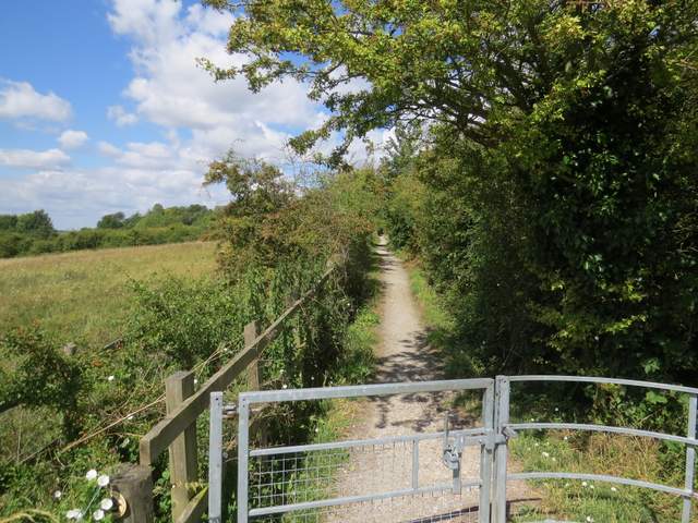
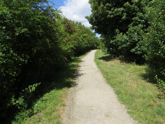
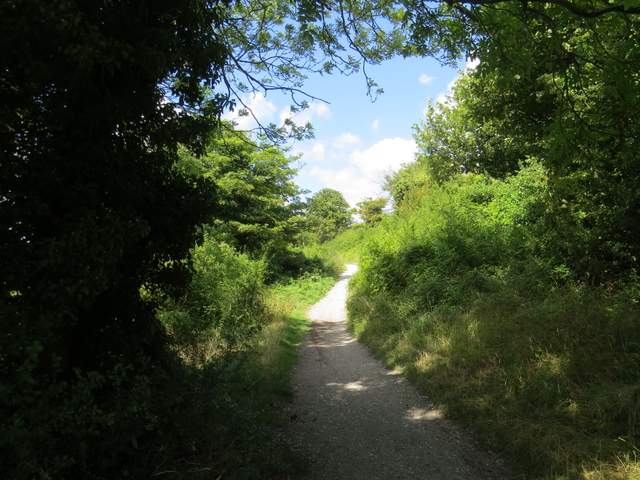
I started walking just after 11am, taking the path starting at the far end of the car park on Bison Hill (Grid Reference SP999184). This soon led to a metal kissing-gate, through which the path continued across the hillside through an area of chalk downland - the walk got off to a great start when I almost immediately spotted the first Painted Lady butterfly that I've seen for a few years. The path slowly curved right and descended slightly [UPDATE 28/01/2025 - at a path fork, just before a couple of trees, I used to keep left, but this path is now overgrown and blocked by thorny bushes, so use the right fork (much clearer) instead]. It steepened just before it reached a crossing drovers' way or 'hollow way', and then continued steadily downhill with views ahead across the Vale of Aylesbury. At the foot of the slope it curved right, but here I took a short path on the left which in a few yards ended at a path running along the foot of Whipsnade and Dunstable Downs. Here I turned right, and followed the path along the foot of the Downs for over a mile. After a while the large grass area of the London Gliding Club was on my left.
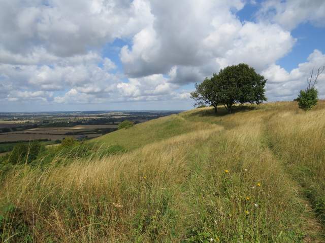
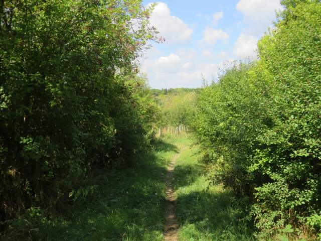
The path on Bison Hill

The first Painted Lady butterfly that I've seen for a few years
The path on Bison Hill
The path descending Bison Hill
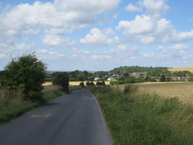
The path along the foot of the Downs
The path along the foot of the Downs
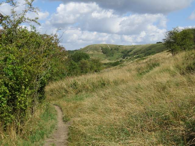
The path along the foot of Dunstable Downs
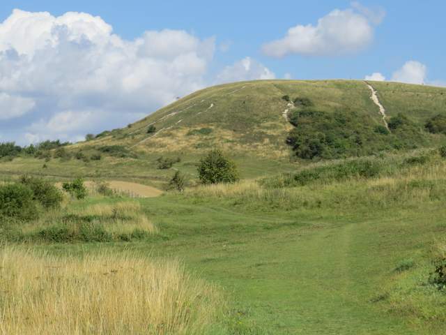
The path along the foot of Dunstable Downs - this is just before I turned left along the path beside the gliding club
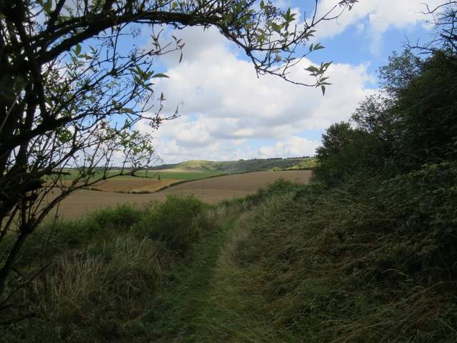
As I reached the end of the gliding club I spotted a tattered Dark-green Fritillary butterfly. I then turned left through a gate, following a hedge-lined track with the gliding club again on my left. This led on to a road junction at the hamlet of Wellhead, where I took Wellhead Road opposite me and followed it for over half a mile to reach the village of Totternhoe. I turned right at the end of Wellhead Road, then when I reached the end of that road I turned left along the main road through the village.
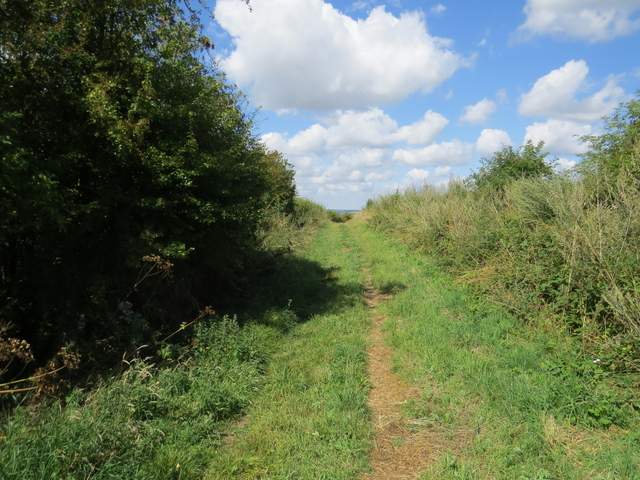
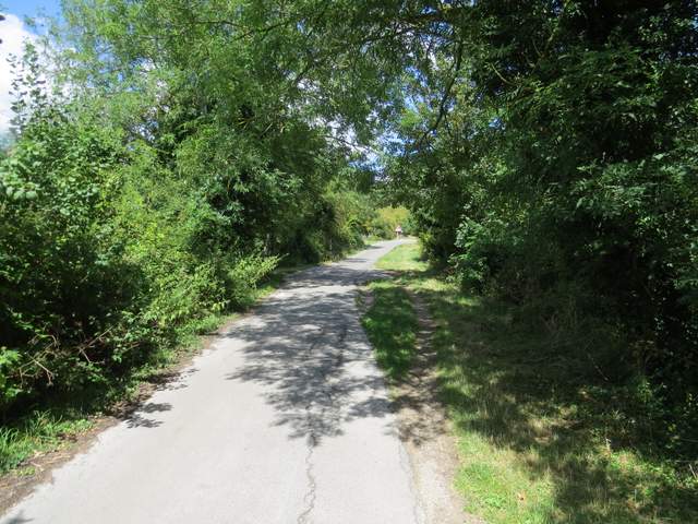
The path beside the gliding club
The path beside the gliding club
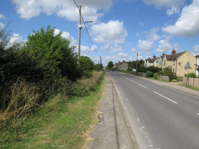
Wellhead Road, approaching the village of Totternhoe
The main road through Totternhoe
After about a third of a mile, I turned right where a brown tourist information sign pointed the way to Totternhoe Knolls. A tarmac drive led to the car park, where I took a path through a kissing-gate opposite the car park entrance. This had trees on the right and a meadow to the left. It soon reached a junction with a wider path where I went more or less straight on, continuing on the main path towards the site of the Motte and Bailey castle at Totternhoe Knolls.
The drive to the Totternhoe Knolls car park
The start of the path from opposite the Totternhoe Knolls car park
The path to Totternhoe Knolls
The path to Totternhoe Knolls