Pete's Walks- Redland End and Bryant's Bottom (page 6 of 6)
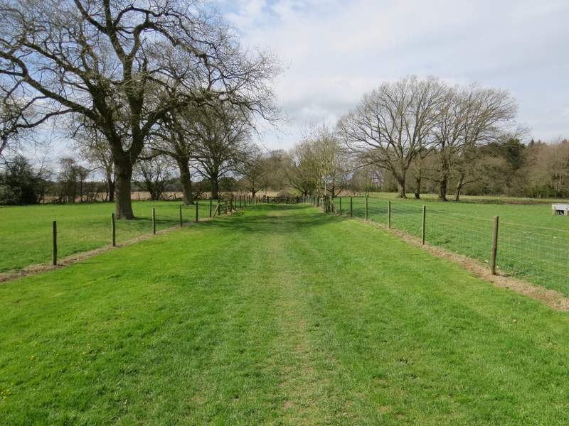
The path then continued through a grassy area with several small trees surrounded by fences in it. Across a minor road, the path continued in the same straight line through a similar larger area of grass dotted with trees, clearly part of the park around Hampden House, which I could see ahead of me close to Great Hampden church. The path ended in a corner next to the churchyard. I turned left and followed the gravel drive past the church. Where the gravel ended I continued ahead along a stretch of grass, now back on a path I knew - I'd joined the route of the Chiltern Way.
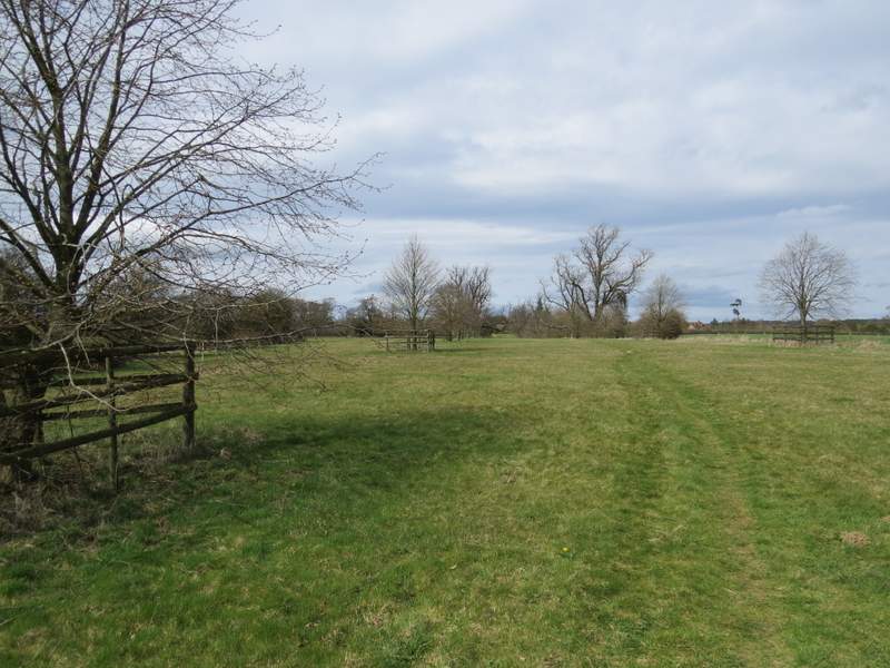
The path from by the Old Rectory, heading north to Great Hampden church
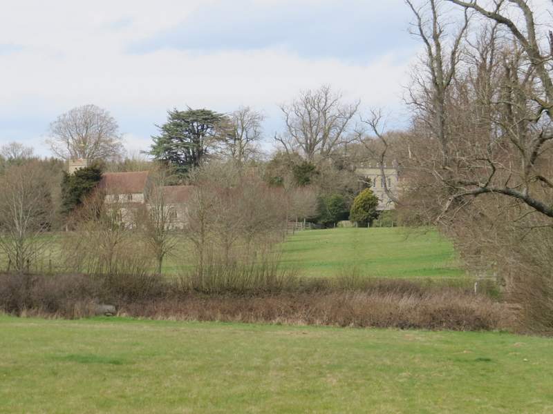
Close-up shot from the path from the Old Rectory, showing Great Hampden church and Hampden House - taken just before I crossed the road
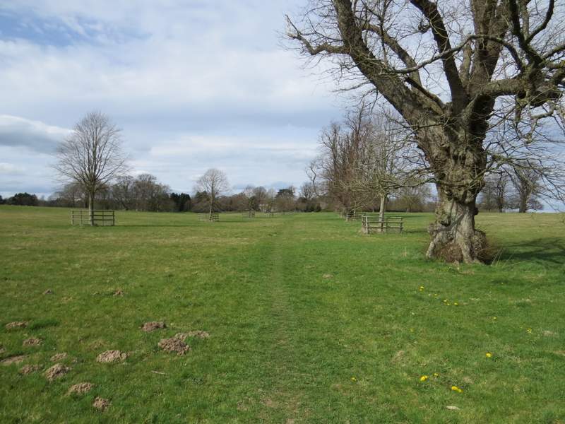
The path to Great Hampden church
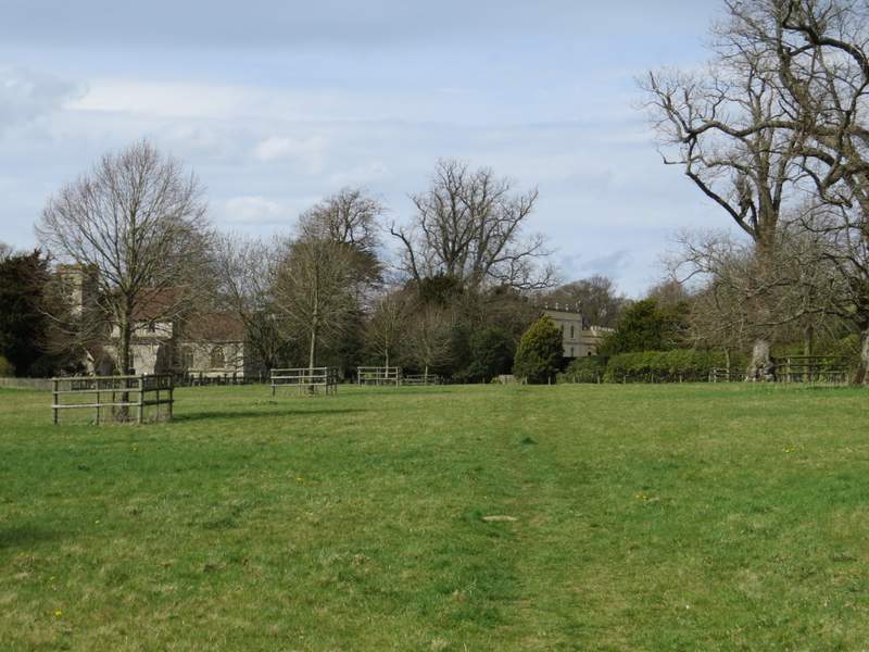
Approaching Great Hampden church and Hampden House
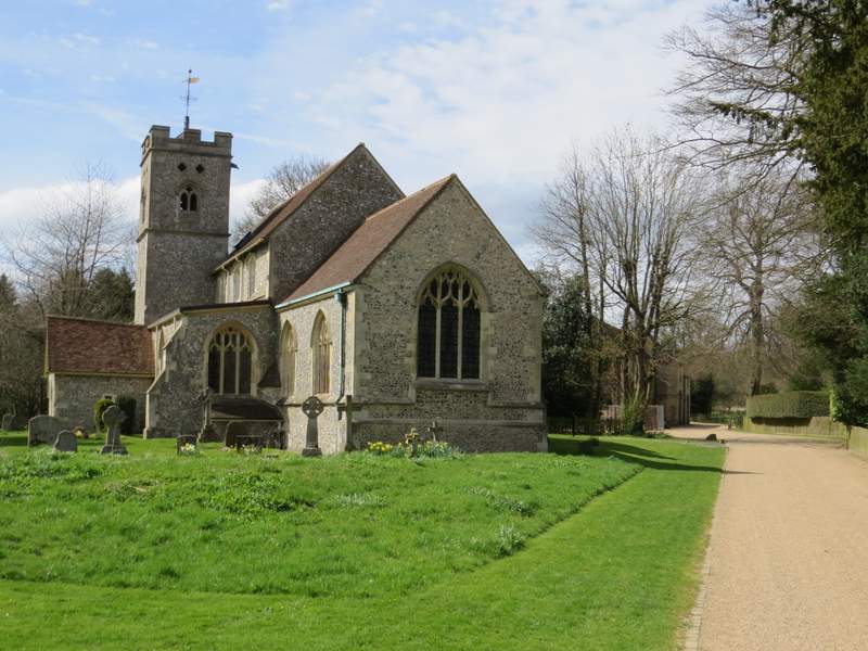
Great Hampden church
The path from Hampden House
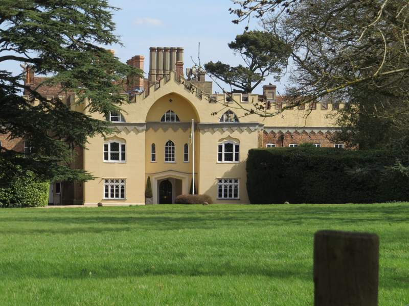
Looking back to Hampden House
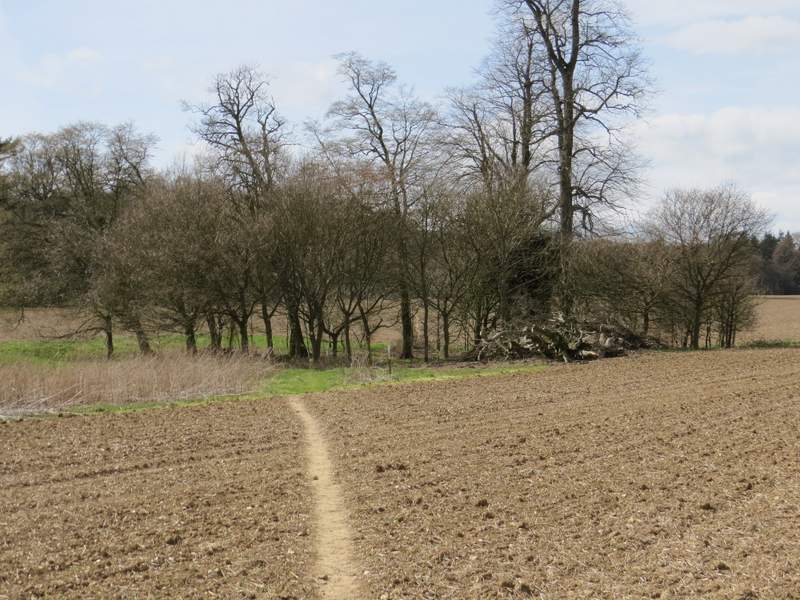
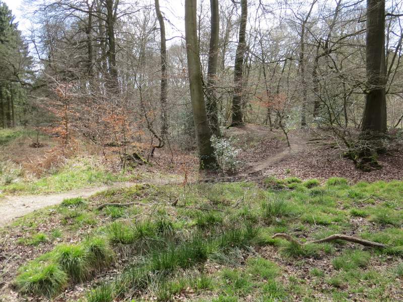
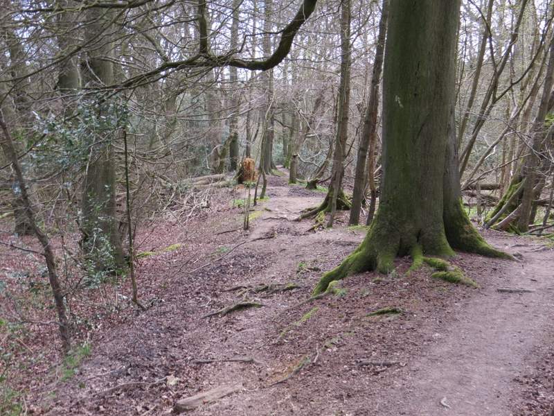
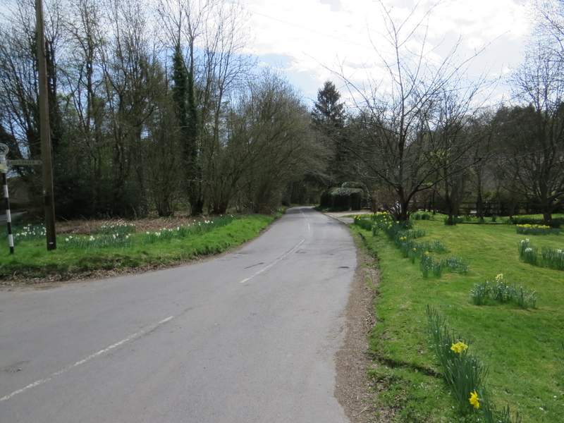
On reaching the edge of a very large ploughed field, I followed a path going slightly left across the field, heading towards a small group of trees in the middle of the field - there were other trees dotted about in this field, so I'd guess it was once part of the park land around Hampden House. Beyond the group of trees the path continued in the same westerly direction to reach a wood on the other side of the field, Barnes's Grove. The path now went more south-westerly as it passed through the wood. After a few hundred yards, a path came in sharply from the right, and the combined paths then followed part of the ancient earthwork called Grimm's Ditch to reach a road junction at Redland End. I took the lane opposite, which soon led me back to my parked car.
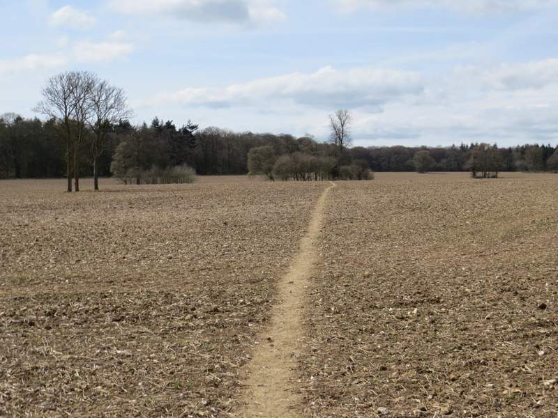
Start of the path across the large field, heading towards Barnes's Grove
The path across the large field, heading towards Barnes's Grove
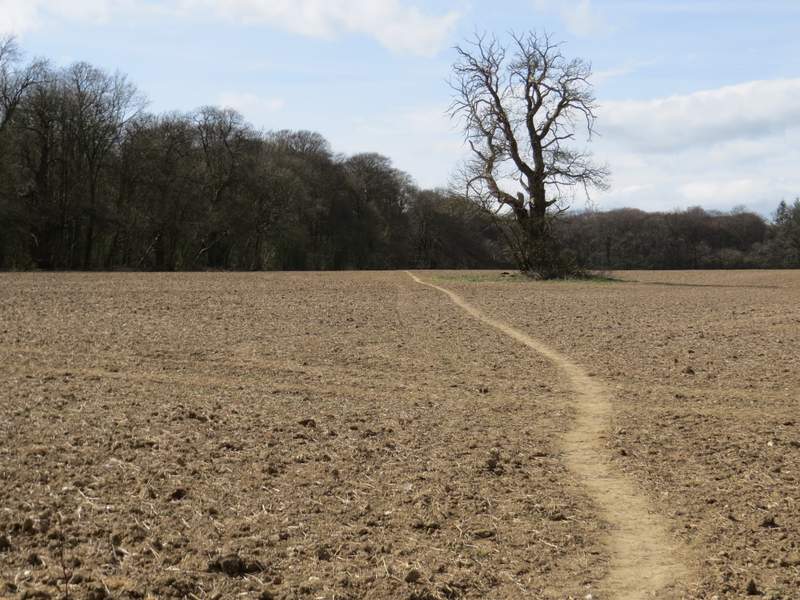
The path across the large field, heading towards Barnes's Grove
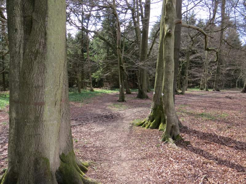
The same path just after entering Barnes's Grove
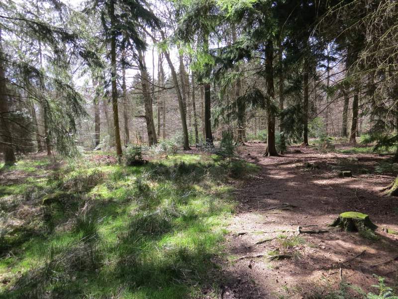
Barnes's Grove
The path close to where it joins Grim's Ditch
The path running along part of the ancient earthwork called Grim's Ditch
The lane through Redland End
I really enjoyed this walk, and not just because much of it was new to me. There were some really good views, especially descending to Upper North Dean, over and along Bryant's Bottom, and in next valley between Denner Hill and Nanfan Wood. The walk was in three sections really - a long flat stretch through Monkton Wood, then four descents and ascents in quick succession, then a final flat section largely through fields. Overall it seemed to make for a nicely varied route, and I'm sure I'll do it or a similar route again (I might miss out the path through the gardens in Speen, and avoid the dangerous road walk I mentioned at Upper North Dean).
It was a beautiful Spring day for a walk, but I was a bit disappointed with how few butterfly and wildflower species I saw, I've certainly seen more types of wildflowers on a couple of short local walks I've done recently. But perhaps I saw less wildlife today because I had to concentrate more on where I was going, as so much of the route was new to me - it's certainly a long time since I've had to look at my map so often.