Pete's Walks- Redland End and Bryant's Bottom (page 5 of 6)
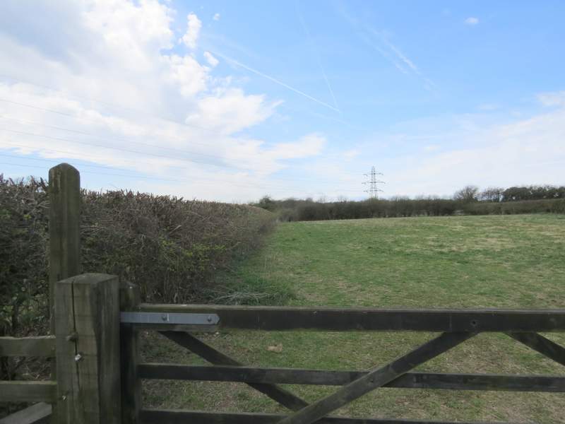
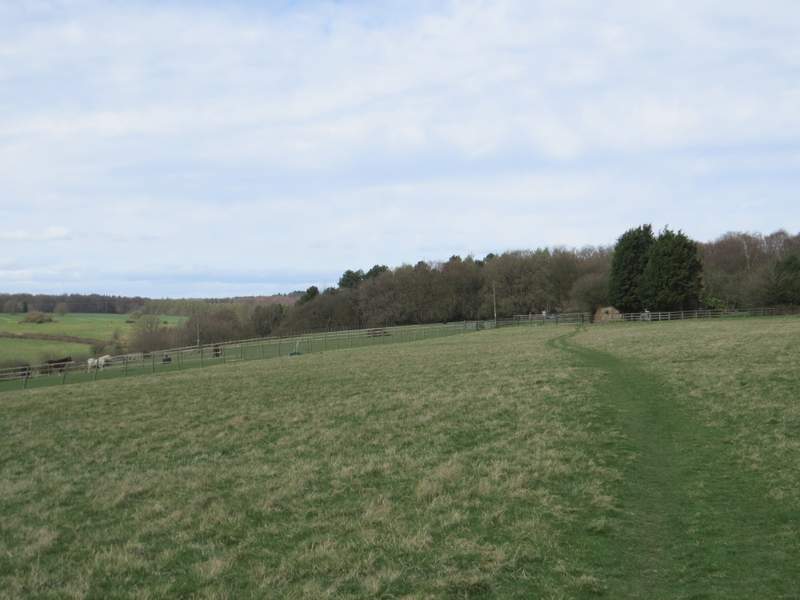
I crossed over and took the footpath on the opposite side. This followed the hedge beside Rolls Lane (on my right) uphill through a large empty pasture. After a few hundred yards, it turned left between fences (there was a gap in the hedge here, so I could also have just followed the lane to this point) to reach the top of the slope. I then crossed a large empty paddock to reach a stile that led into a small field behind a couple of houses. The public footpath continued through a gate and down the drive of the leftmost house, to reach a lane .
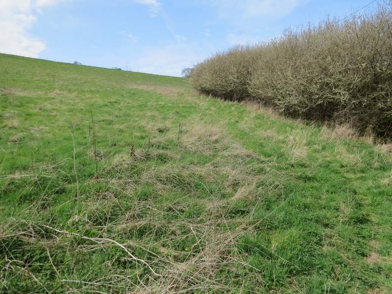
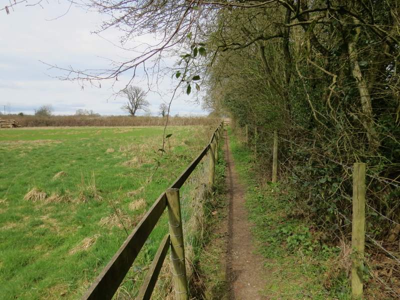
The path beside Rolls Lane
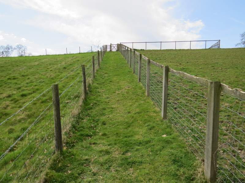
The path after turning left from Rolls Lane
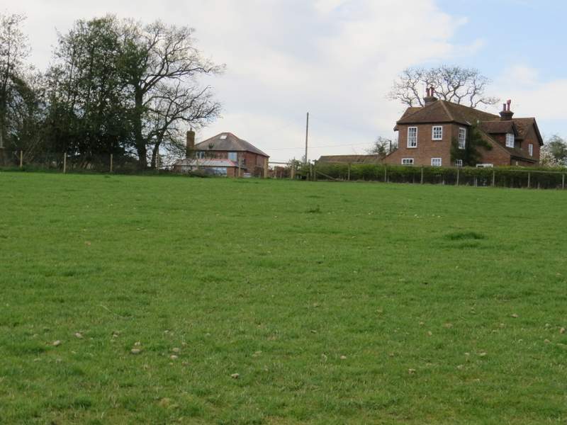
The path continuing away from Rolls Lane (it goes across a small pasture then along the drive of the left-most of the two houses)
Looking left from the same spot as the previous photo - from the map, I think the house is Stoneygreen Hall
I went a few yards left along the lane, then took a footpath starting on the other side. This went through the left edge of a pasture or paddock. It went a few yards into the next field, then turned right at a path junction and headed towards Denner Farm. Beyond the farm I followed its drive, until just a short distance after it had turned right. I then took a footpath on the left through Hampden Common, where I saw lots of oak trees. At a fork, I kept right. I'm not sure what happened here, but I left the wooded common a bit earlier than shown on the OS map - I emerged (by a footpath sign) opposite a house, and turned left along a rough track. I passed a point where two footpaths started into the wooded common on my left (this is where I'd expected to come out, the path I took isn't shown on the map), then a little further on I turned right onto a bridleway.
The start of the path from Denner Hill (the lane)
The path after turning right, heading to Denner Farm
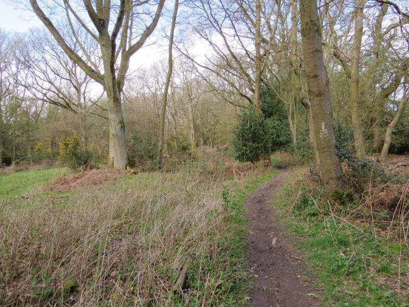
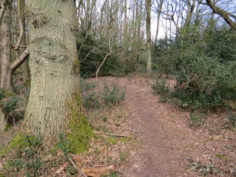
Near the start of the path through Hampden Common
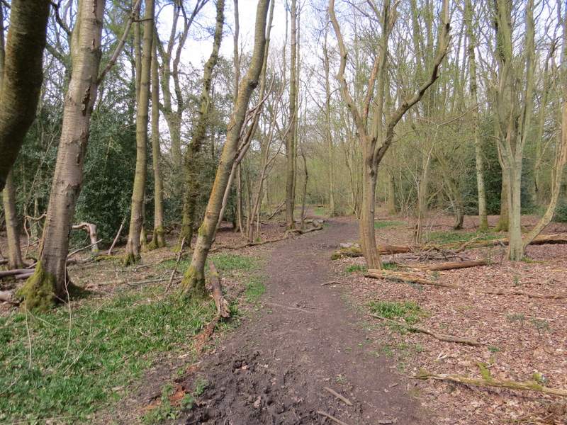
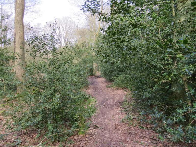
The path through Hampden Common
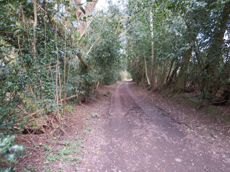
Just after forking right on Hampden Common
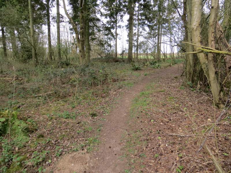
Hampden Common
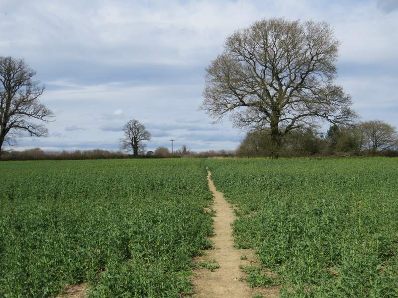
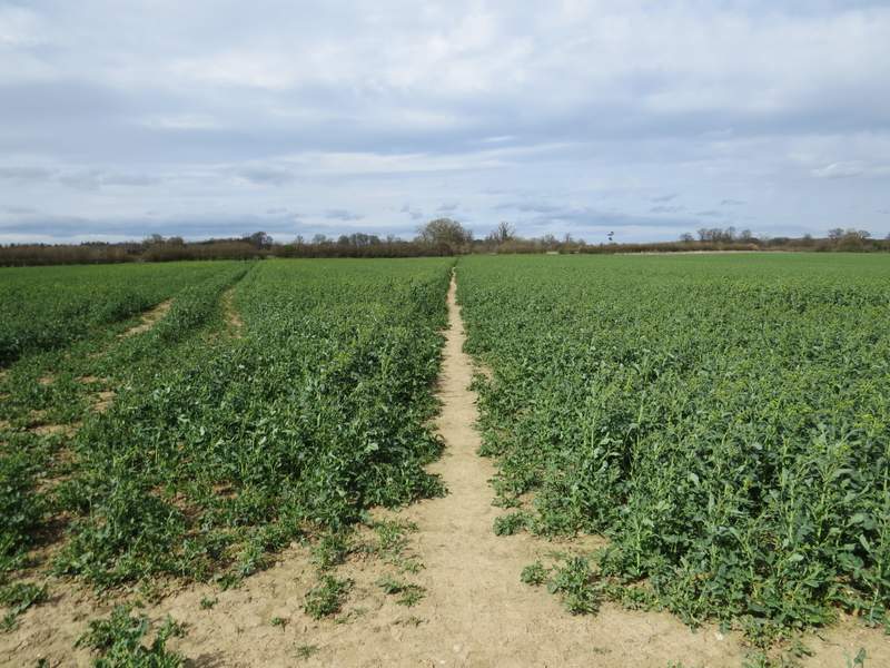
The bridleway ran along a drive towards a property named as Old Rectory on the OS map. Just before it reached the gate to this house, I took a footpath going left. This ran through a small bit of woodland, then ran between a fence and a hedge beside a small pasture. I went over a stile (the leaders of a large group of ramblers kindly allowed me to go first, I'd have been there a long time if I'd had to wait for all of them to cross the stile). The path then continued in an almost straight line across two or three fields of beans or peas, crossing a lane at one point.
The bridleway to the Old Rectory
Near the start of the path from the Old Rectory, heading north to Great Hampden church
The path from by Old Rectory, heading north to Great Hampden church
The path from the Old Rectory, heading north to Great Hampden church
The path from the Old Rectory, heading north to Great Hampden church
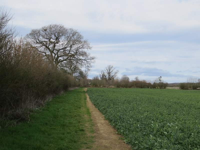
The path from the Old Rectory, heading north to Great Hampden church