Pete's Walks- Goring, Hartslock, Cray's Pond (page 2 of 4)
If you are considering walking this route yourself, please see my disclaimer. You may also like to see these notes about the maps and GPX files.
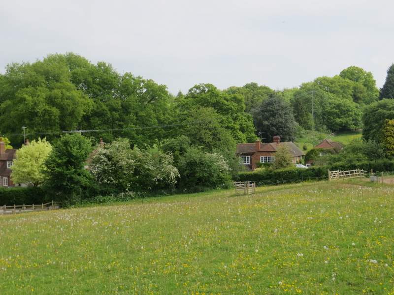
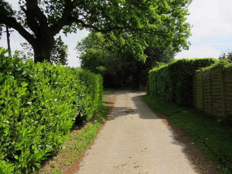
The bridleway headed north, passing a couple of properties and continuing on between tall hedgerows either side. It led to an area named Cold Harbour on the OS map (searching the web, there seems to be some debate over the meaning of this name, which occurs in numerous places - personally, I think the most likely explanation that it was a 'cold' resting place for travellers, one with no heat or food provided). I turned right along another lane, that started here, and followed it as it curved slightly left past some cottages.
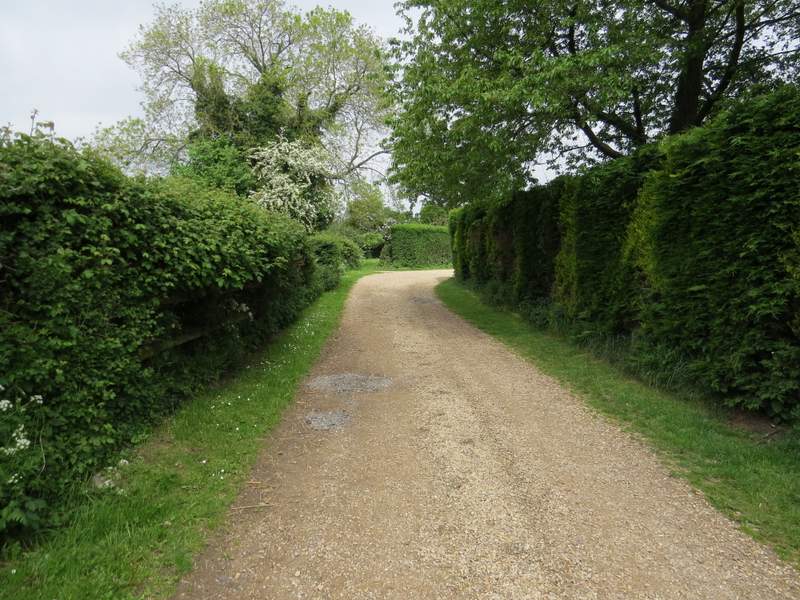
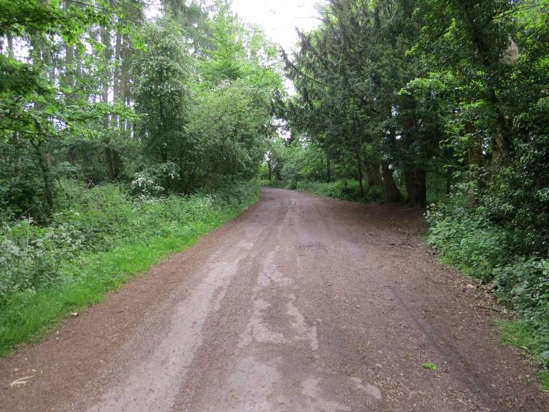
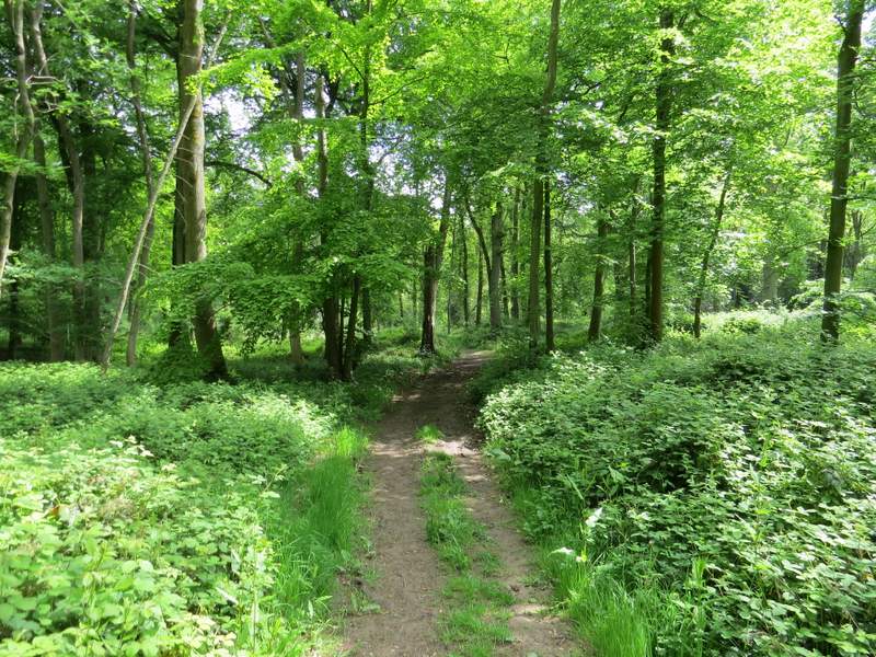
The start of the bridleway going north to Cold Harbour
The bridleway going north to Cold Harbour
The bridleway going north to Cold Harbour
The bridleway going north to Cold Harbour
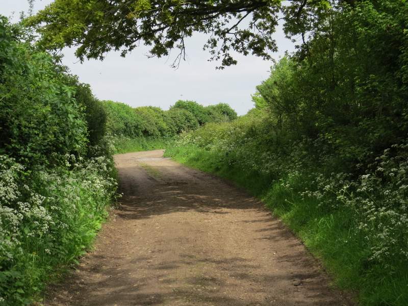
The start of the lane at Cold Harbour
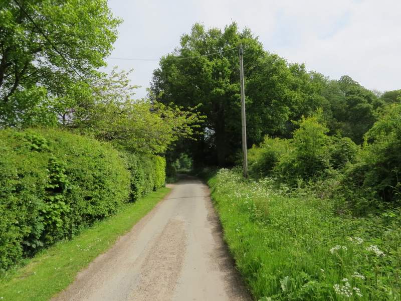
The lane from Cold Harbour
I then turned left, northwards again, along a bridleway heading towards the hamlet of Blackbird's Bottom - this was a surfaced drive running past a few houses. After a few hundred yards I took a footpath going half-right. This crossed two meadows or paddocks to reach Blackbird's Bottom, where I turned right and followed a drive to reach a minor road.
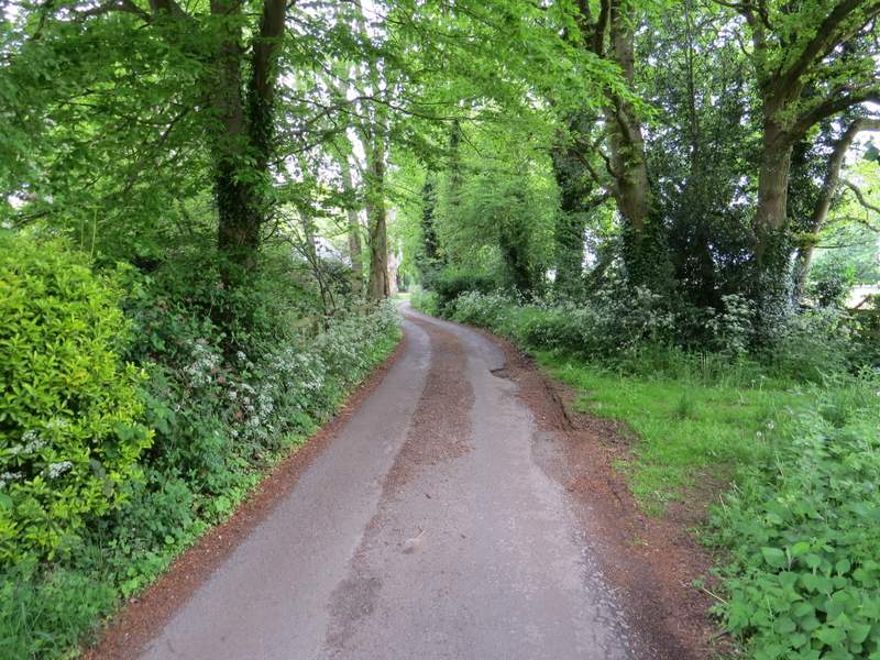
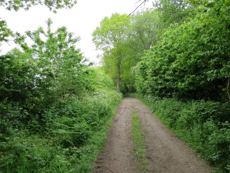
The bridleway going north towards Blackbird's Bottom
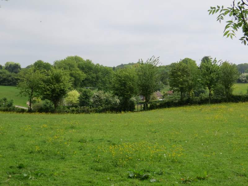
The path to Blackbird's Bottom
The path to Blackbird's Bottom
The drive from Blackbird's Bottom
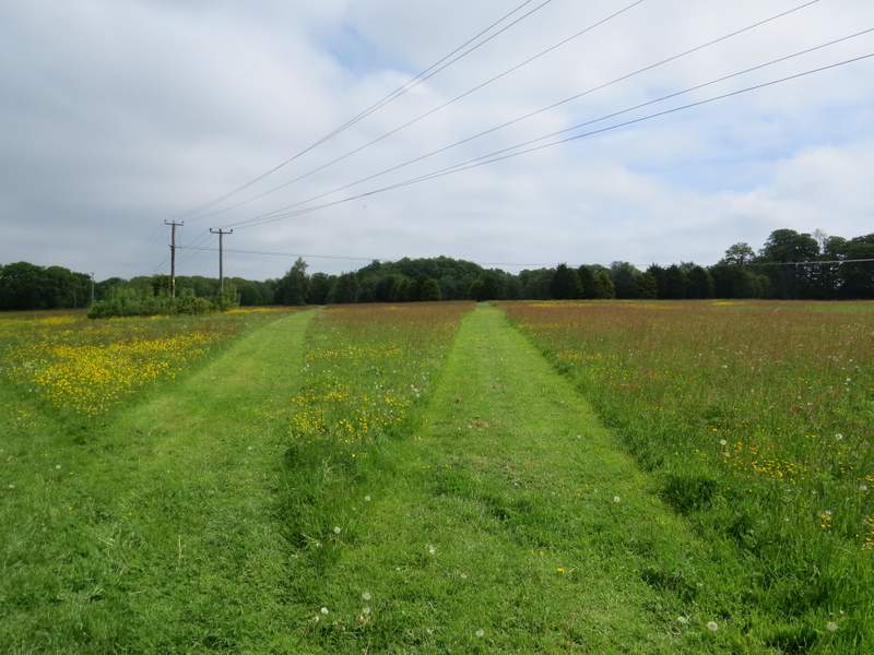
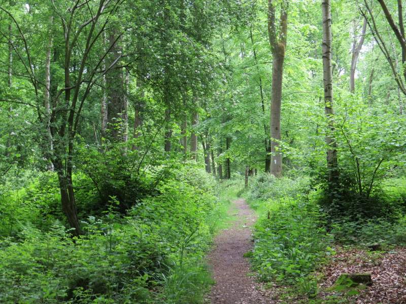
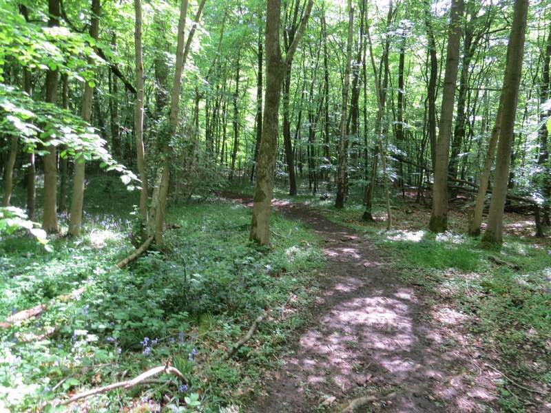
On the other side of the road a footpath started across the grounds of a school. The public footpath followed the rightmost mown strip across an area of grass and wildflowers. Normally I would have carried straight on across the school's sports fields, but a sign warned that they'd just been sprayed with some chemical so I opted to take the permissive path round them instead, going left and then right in the corner. I then walked a few yards along a road, before taking a footpath on the other side. This ran through a wood (Oakwood Covert is the nearest name I can se on the OS map), where I soon spotted some lovely Yellow Pimpernel, the first I'd seen this year. After some distance I reached a track, Eastfield Lane, where I continued straight on through the wood.
The path across the school grounds (the rightmost of the mown tracks)
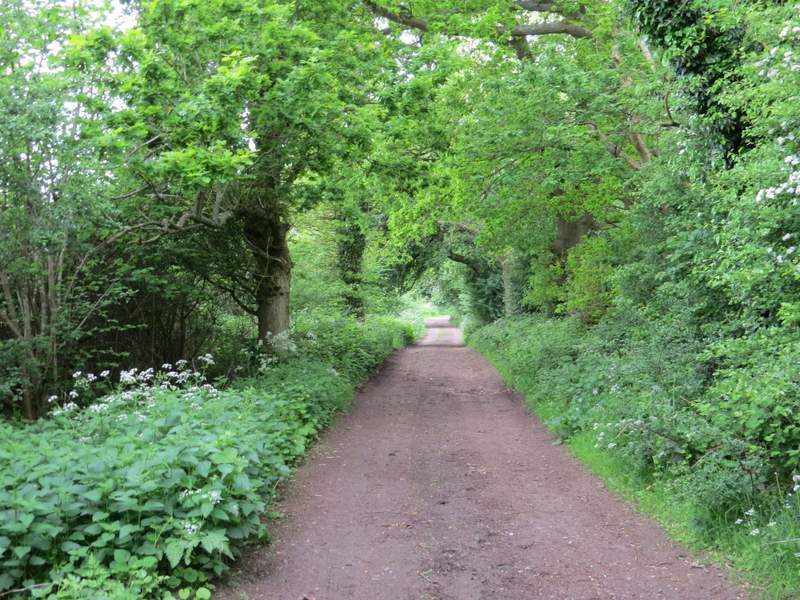
The path through Oakwood Covert
The path through Oakwood Covert
The path through Oakwood Covert, just after crossing Eastfield Lane
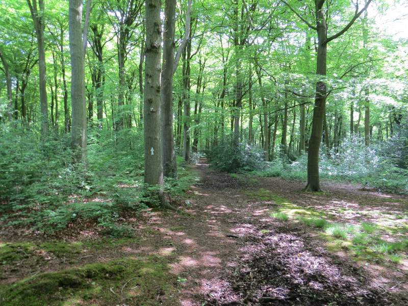
The path through Oakwood Covert