Pete's Walks- Goring, Hartslock, Cray's Pond (page 3 of 4)
If you are considering walking this route yourself, please see my disclaimer. You may also like to see these notes about the maps and GPX files.
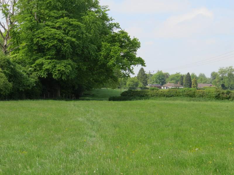
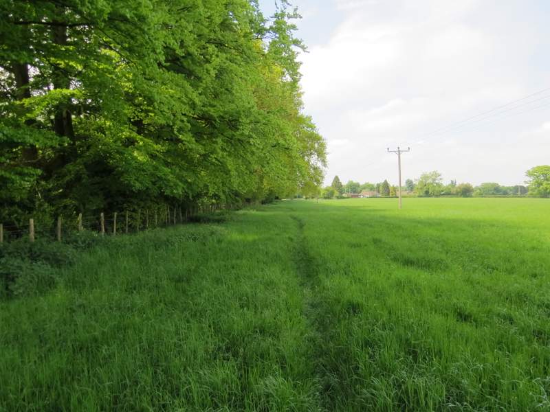
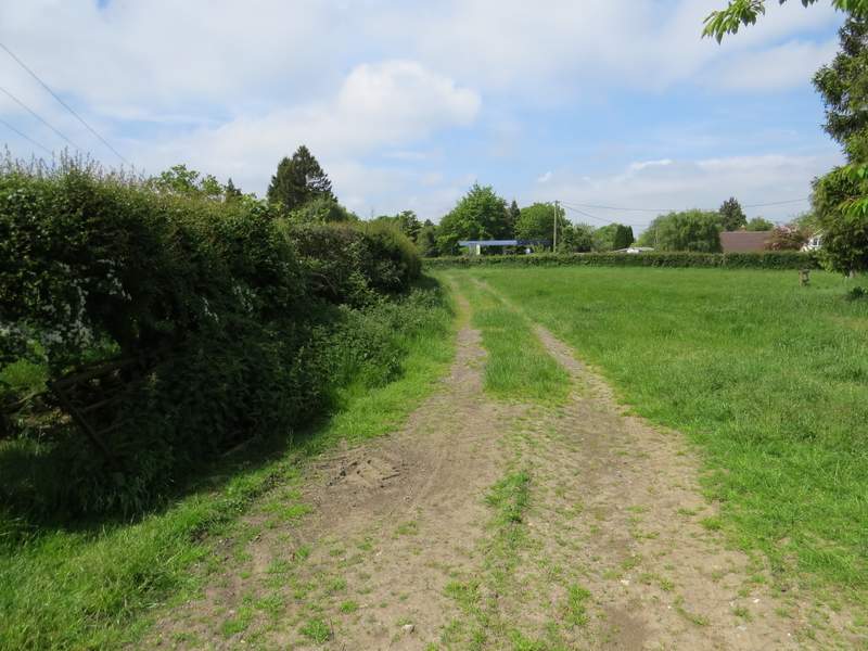
After a while I reached a path junction, marked by white arrows on a tree, where I turned left (this junction was the furthest point from Goring that I'd reach). It was nice walking through what was now a beech wood, listening to bird songs all around. The path took me to another bit of Eastfield Lane, which I followed more or less straight on. When it ended at a bend in a lane, I went a few yards left, then took a footpath on the left. This went through a large meadow, close to its left edge (not too close, there was a vicious looking guard dog behind the fence on the left). It continued through a second such meadow, then went down a track to emerge on a road on the edge of the village of Cray's Pond.
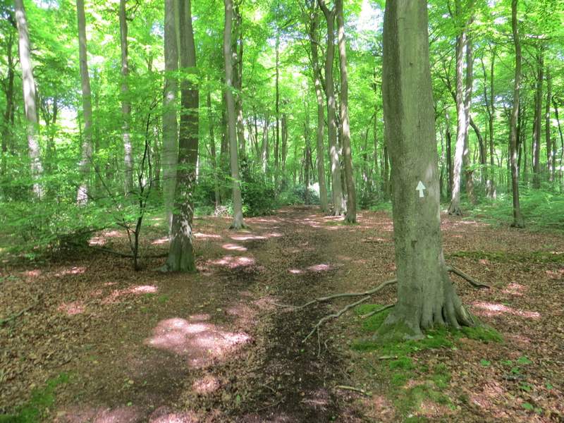
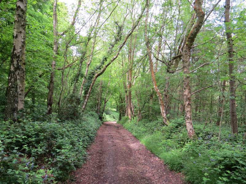
The path going north through Oakwood Covert, just after I turned left
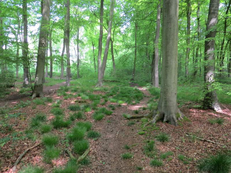
The path going north through Oakwood Covert
Eastfield Lane
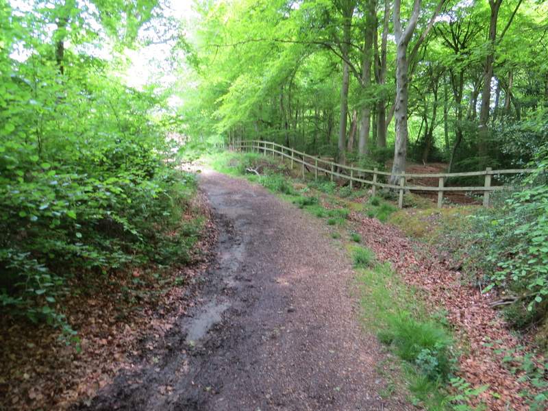
The start of the footpath to Cray's Pond
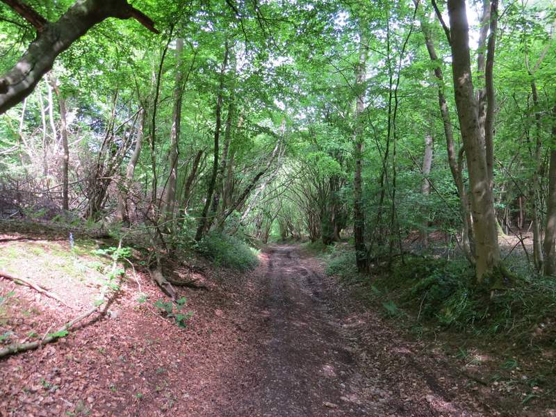
The footpath to Cray's Pond
The footpath to Cray's Pond
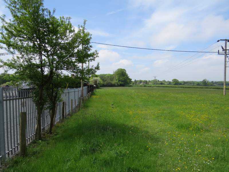
Approaching Cray's Pond
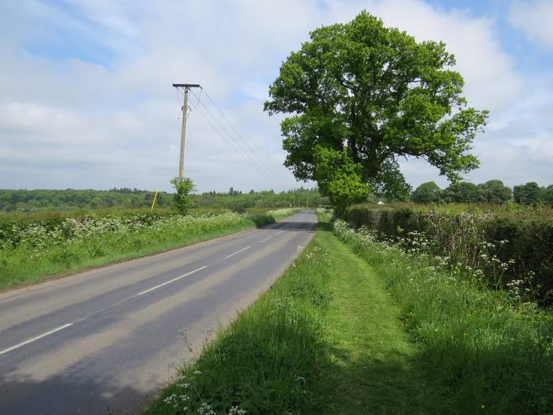
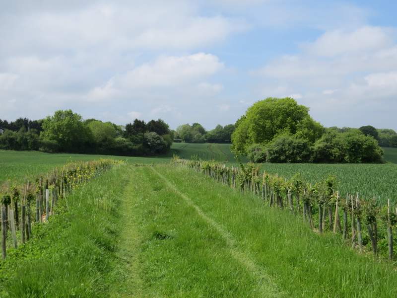
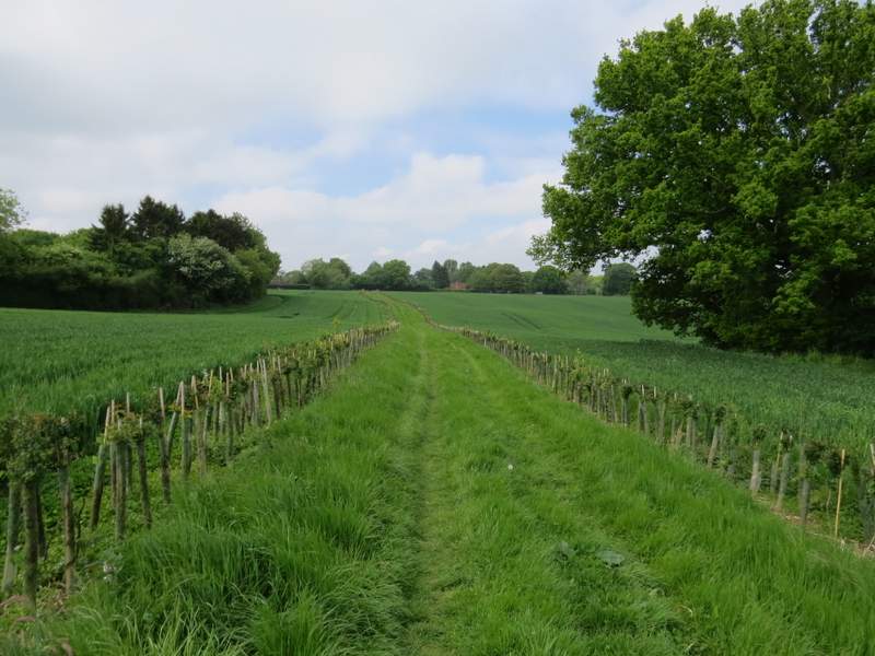
I turned right, heading north and away from the village, and followed the road for about a quarter of a mile - there was a nice mown path along the verge. I then turned left on a very pleasant footpath between two large corn fields - the path was a broad grass strip between rows of young trees, each tree protected by plastic tubing. The path ended on a bridleway in, or near Little Heath.
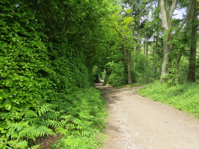
The road going north out of Cray's Pond
The footpath going southwest towards Little Heath
The footpath continuing towards Newsets Wood
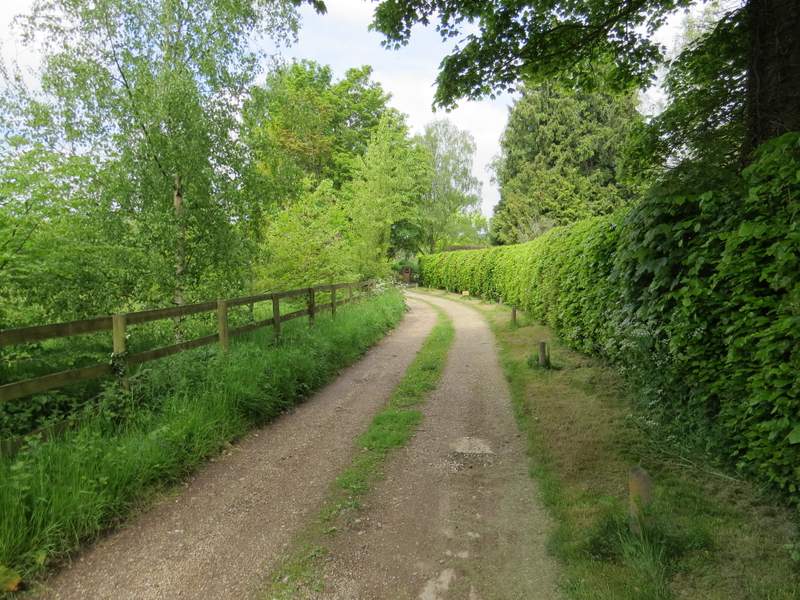
The bridleway from Little Heath
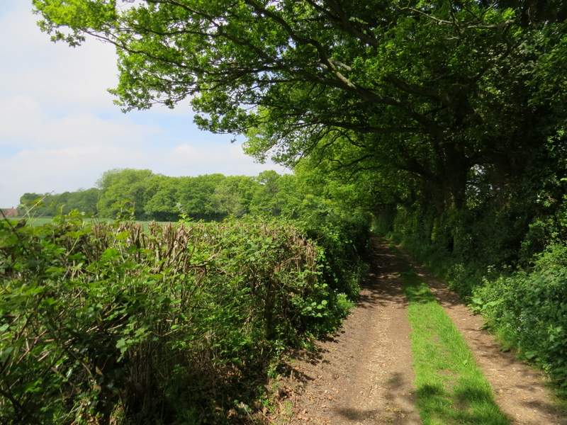
I turned right along the bridleway, now heading northwest. After passing one or two properties on my right, the bridleway ran between a hedge on my left and tall overhanging trees on my right. It then ran through a wood, and started to drop downhill steadily - in places it was a 'sunken lane', being several feet lower than the ground either side.
The bridleway going northwest from Little Heath
The bridleway going northwest from Little Heath
The bridleway going northwest from Little Heath
The bridleway going northwest from Little Heath