Pete's Walks- West Wycombe, Speen, Hughenden (page 1 of 5)
If you are considering walking this route yourself, please see my disclaimer. You may also like to see these notes about the maps and GPX files.
PLEASE NOTE: The very large car park in West Wycombe used to be free. When I came here on 15th January 2022 I found it is now a pay and display car park, only free if you stay less than one hour and costing £4 if you stay more than 2 hours. I think you have to pay by credit card, I don't think the machine takes cash.
I did this circular walk of about 11.1 miles on Saturday, 19th December 2015. It was a repeat of a walk I did in April 2010, and then repeated in the opposite (anti-clockwise) direction in October 2010. I'd walked some parts of this routes on other walks since but much of it, especially the section from Speen to Hughenden Manor, I was walking for the first time since then.
I started walking about 10:10am, from the village car park in West Wycombe (grid reference SU 826947). I took the path starting across the road from the car park, but soon forked right from it (there are actually two paths that fork right within a few yards of each other, it didn't really matter which one I took) to skirt round the bottom of West Wycombe Hill. On reaching a lane or street, I followed it to the left, soon passing the entrance to the Hellfire Caves. I went left when the lane met with Church Lane, but after a few yards I took the left-most of two footpaths that started from the same point on the right of the lane. This path followed a broad strip of grass by the left-hand hedge for about a hundred yards, before going half-right across a very large arable field and descending toe the Princes Risborough to High Wycombe Road.
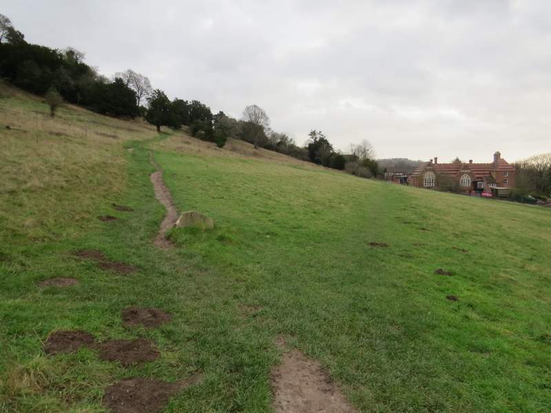
The path round the foot of West Wycombe Hill - this is where I forked right (there is another right fork I could just as well have taken a few yards further on)
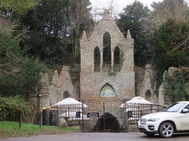
The entrance to the Hellfire Caves
Where the two paths start from Church Lane - I took the one on the left
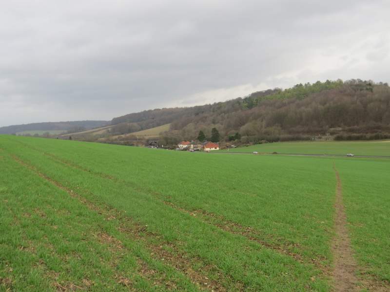
The path, having turned half-right to head down to the road (from Prince's Risborough to High Wycombe)
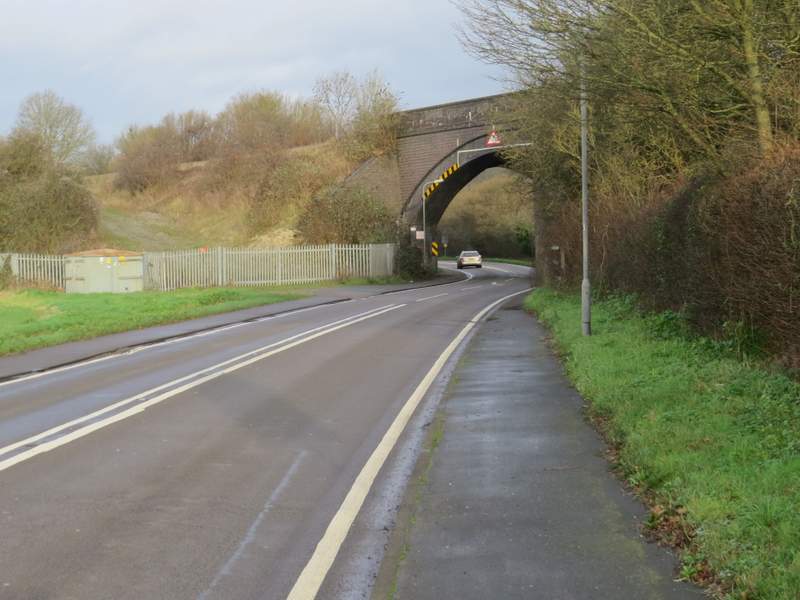
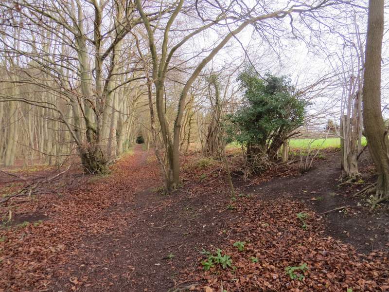
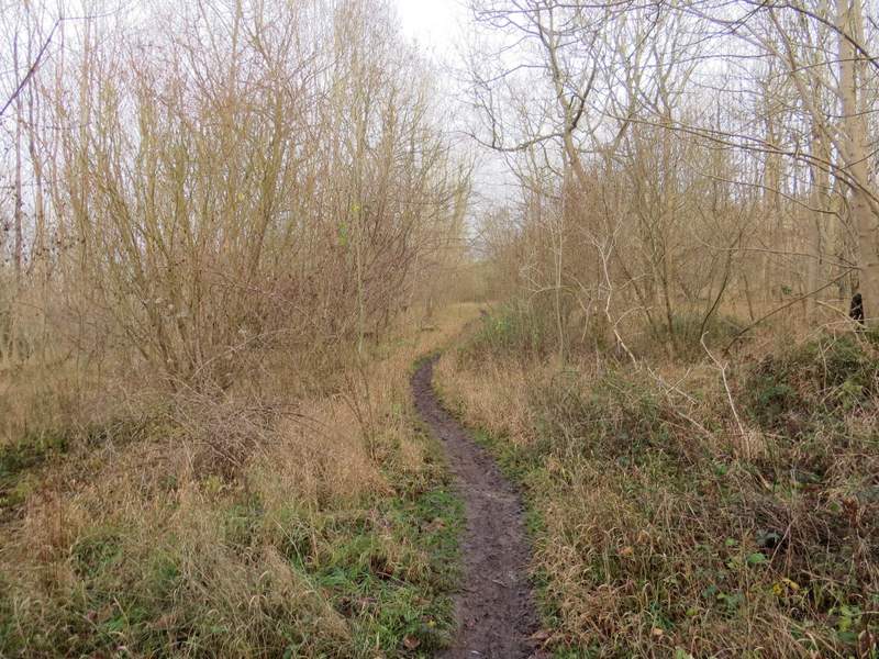
When I walked this route before, a path continued straight on from the other side of the road, but that section of path was closed a few years ago because of a dangerous railway crossing. Instead I now had to go left along the road for about a quarter of a mile. Immediately after going under a railway bridge a footpath went right, more or less following the railway line. After another quarter of a mile or so I came to a path junction, where I turned left through a gate, rejoining my original route. The path climbed steadily uphill through Kit's Wood, for some of the time with a field close by on the right. Towards the top of the slope the path curved left and levelled out. After a while it met a track, the right of way continuing more or less straight on.
Approaching the bridge
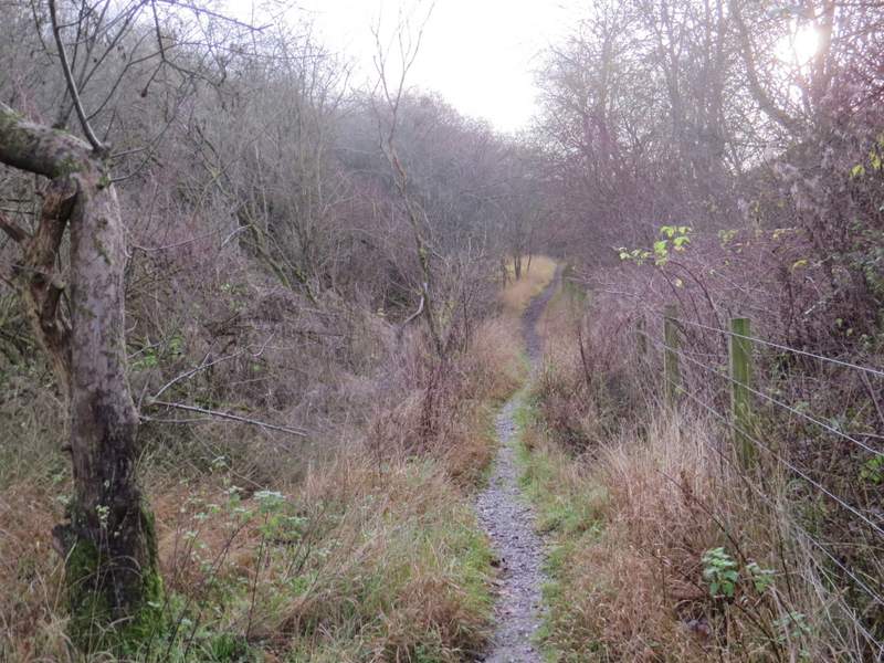
The path from the bridge
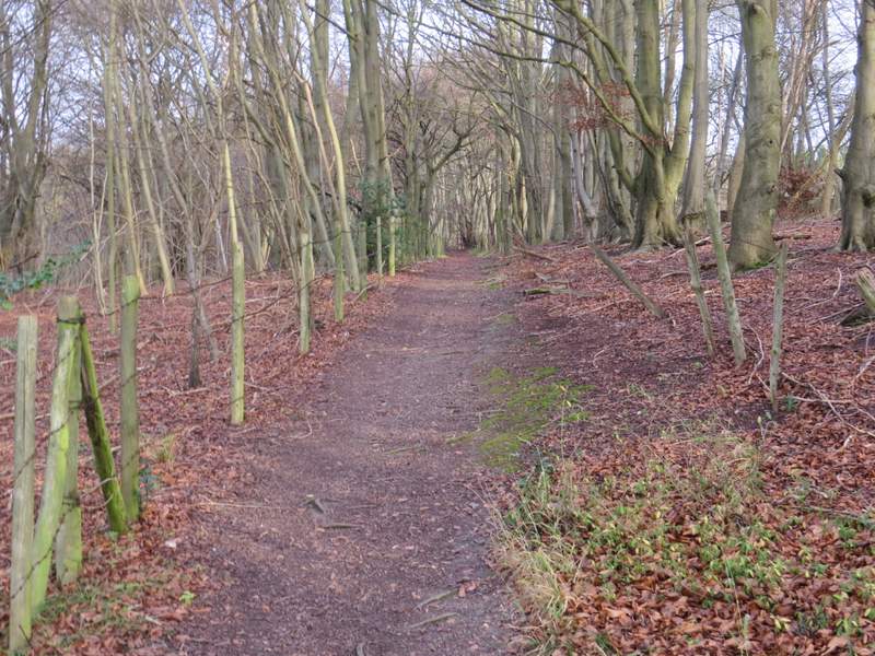
The path rising up through Kit's Wood
The path rising up through Kit's Wood
The path continuing through Kit's Wood
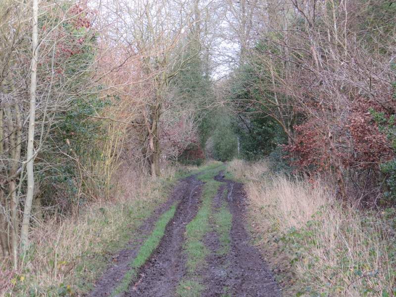
The path continuing through Kit's Wood, after merging with a track
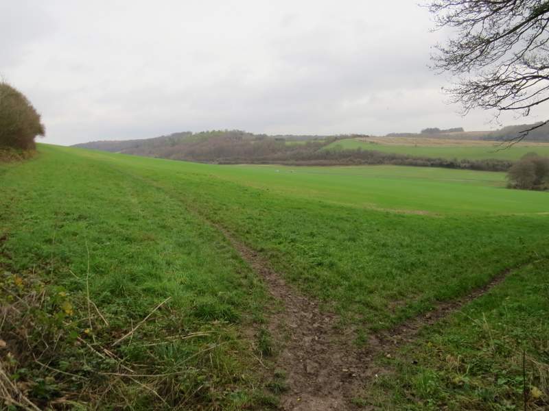
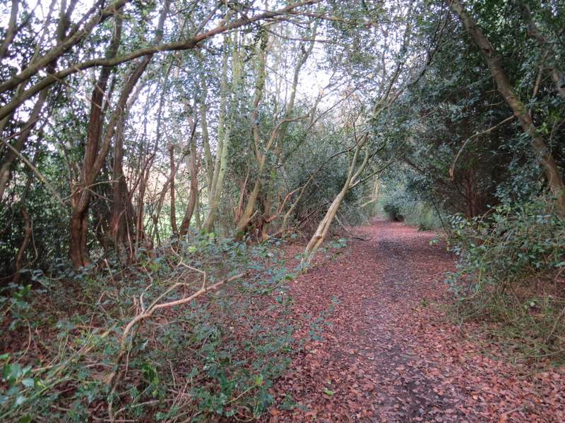
When I reached a path crossroads (with waymarks on a post), I turned half-right on a track for a few yards before turning further right on a narrow path (this was just before the track went right). The section of wood to the right of the path had been cleared a few years ago, parts of it having been replanted with sapling protected by plastic tubing. Further on the paddocks around Bradenham Hill Farm were close by on my left. The path eventually entered the woods of Naphill Common, initially in an area where there was a lot of holly. I crossed over a bridleway, but then saw no sign of the crossing footpath that the OS map shows. When I came to a second bridleway crossing I turned half-right (confusingly there was a public footpath waymark for the path going right immediately before the bridleway, which the OS map shows as a dashed black line indicating that it's a path but NOT a recognised public footpath). A short way along the bridleway it split in two (by what was once a pond on the right) and I took the left fork.
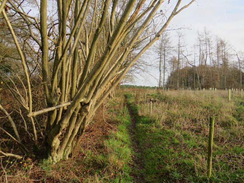
The path after I turned right in Kit's Wood
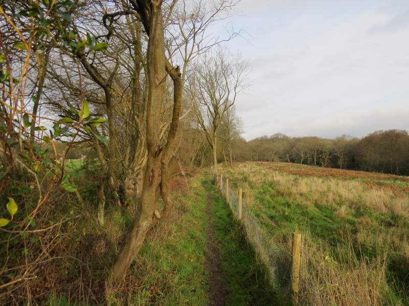
The path continuing near Bradenham Hill farm
The path approaching Naphill Common
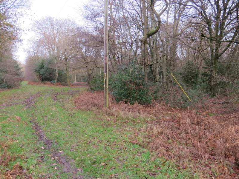
Approaching the second bridleway crossing, where I turned half-right
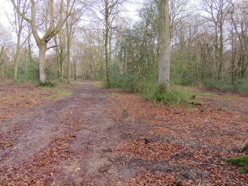
This is just after I took the left fork where the bridleway split