Pete's Walks- Amersham Old Town and Knotty Green (page 2 of 4)
If you are considering walking this route yourself, please see my disclaimer. You may also like to see these notes about the maps and GPX files.
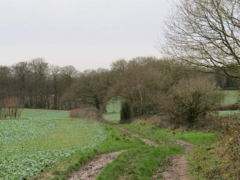
I went a few yards right, then took the bridleway on the other side of the road that started along a surfaced track, heading to Ongar Hill Farm. At a fork, the bridleway kept right (straight on), with a paddock between the track and the farm. I ignored a crossing footpath and a little further on the track turned half-right behind a hedgerow. The track then descended into a valley with a wood at the bottom.
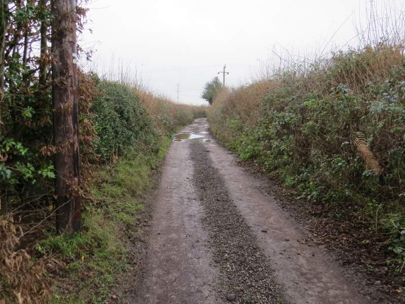
Near the start of the drive to Ongar Hill Farm
The drive to Ongar Hill Farm
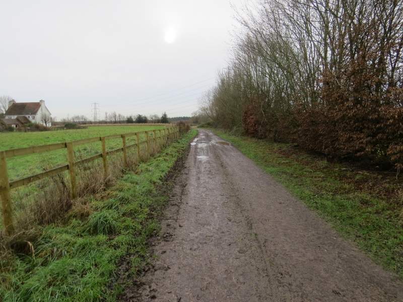
The track continuing from Ongar Hill Farm
The track continuing from Ongar Hill Farm
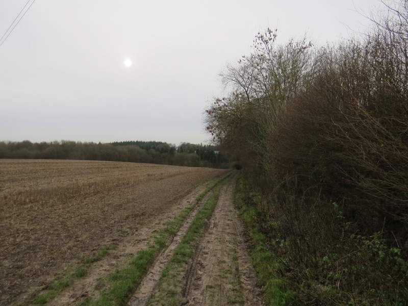
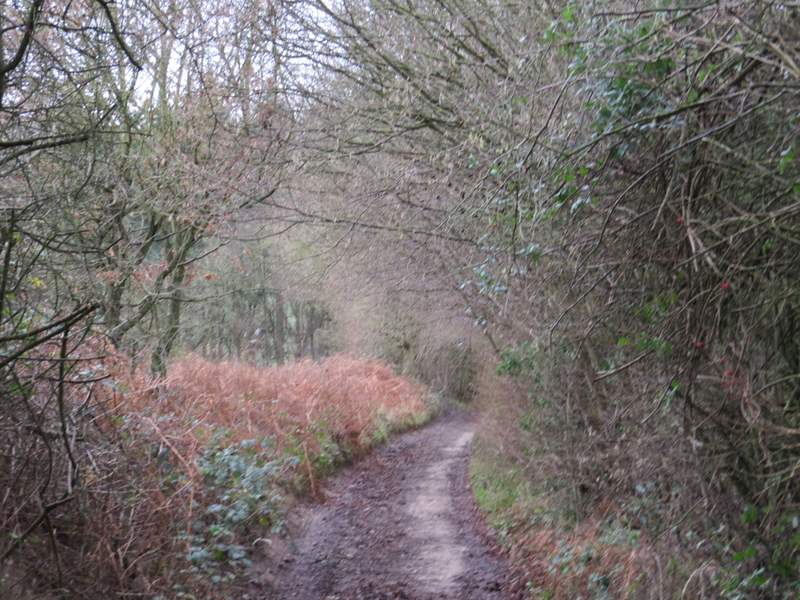
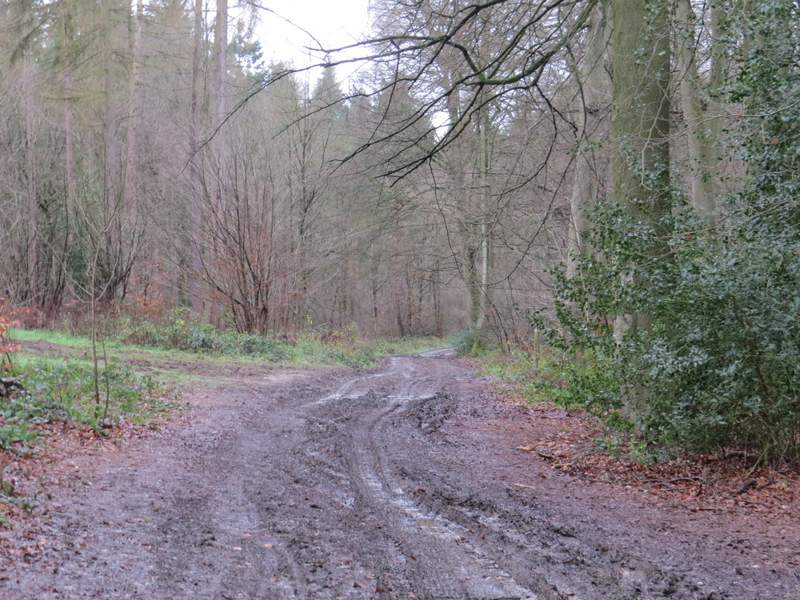
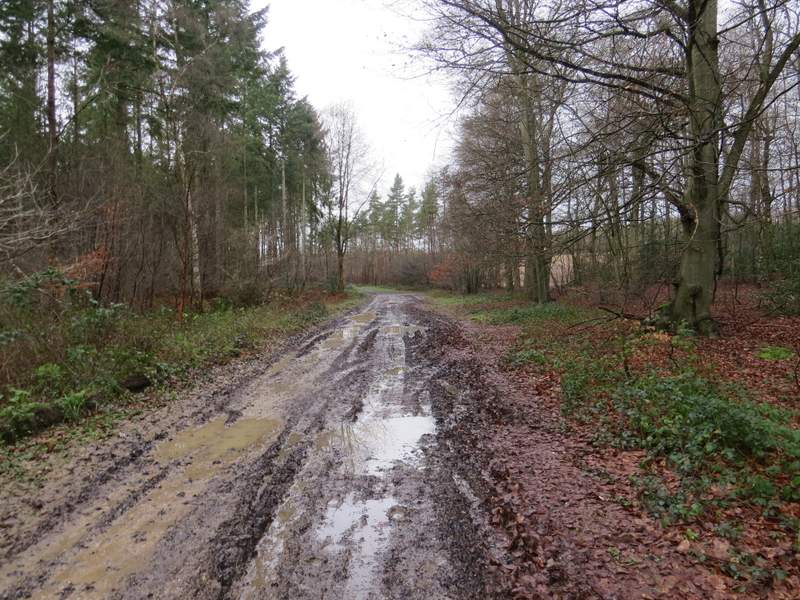
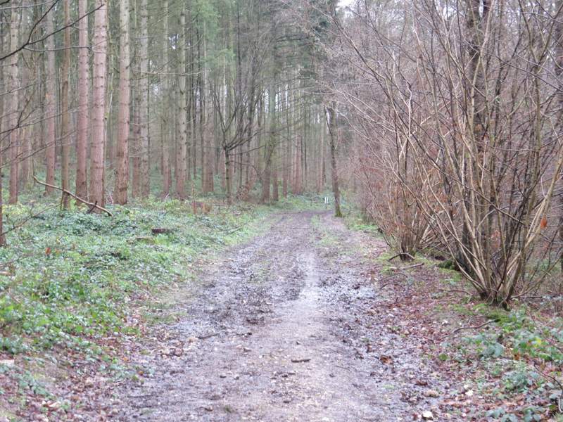
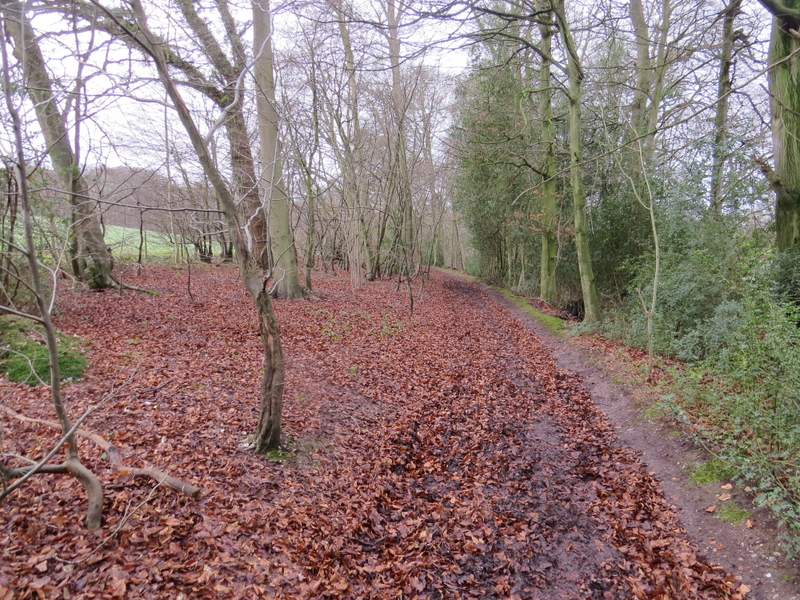
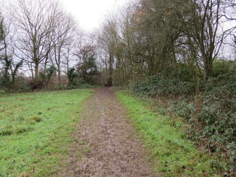
At the bottom of the valley I turned right onto a bridleway (this would be only part of today's route that I'd not walked previously) [Note: I could have easily shortened the route by just over two miles by going straight on and turning left at the next path junction, by Wood Cottage]. The bridleway followed the bottom of the valley through Great Beard's Wood, which was a mixture of Coniferous and Deciduous trees. At one point I spotted a couple of Roe Deer in the wood. Beyond the wood the bridleway continued along the valley bottom, now in a tree belt (mainly beech and holly).
The start of the bridleway through Great Beard's Wood
The bridleway through Great Beard's Wood
The bridleway through Great Beard's Wood
The bridleway continuing through the tree belt extending west from Great Beard's Wood
The bridleway continuing through the tree belt extending west from Great Beard's Wood
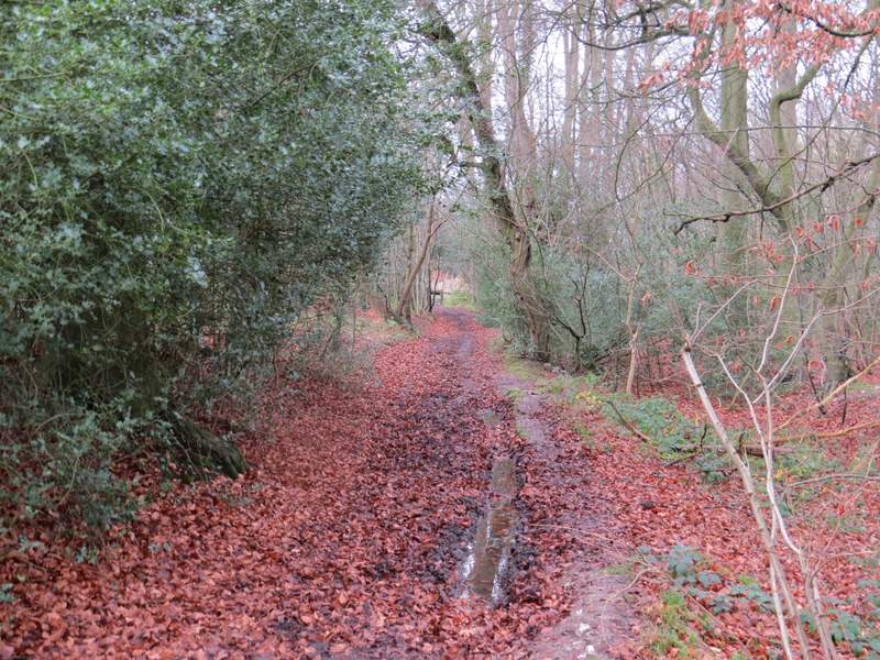
The bridleway continuing through the tree belt extending west from Great Beard's Wood
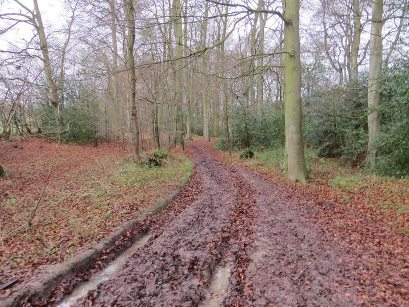
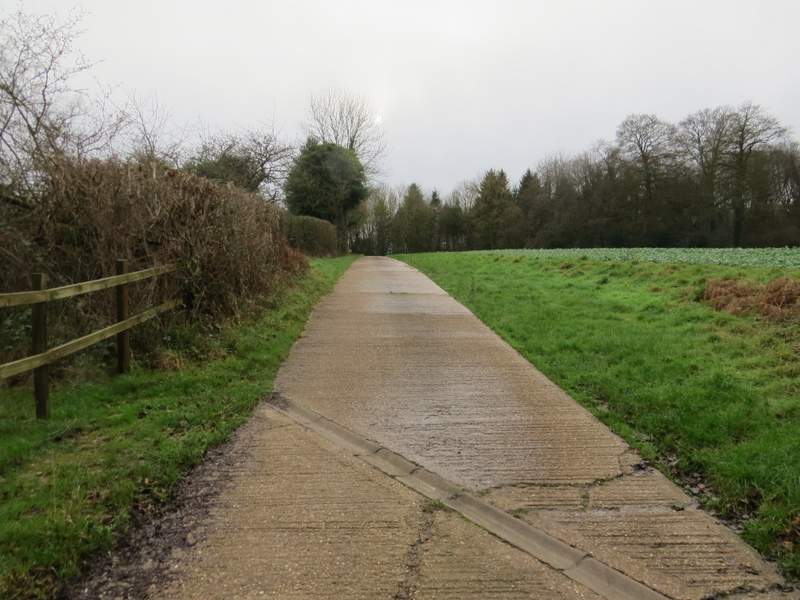
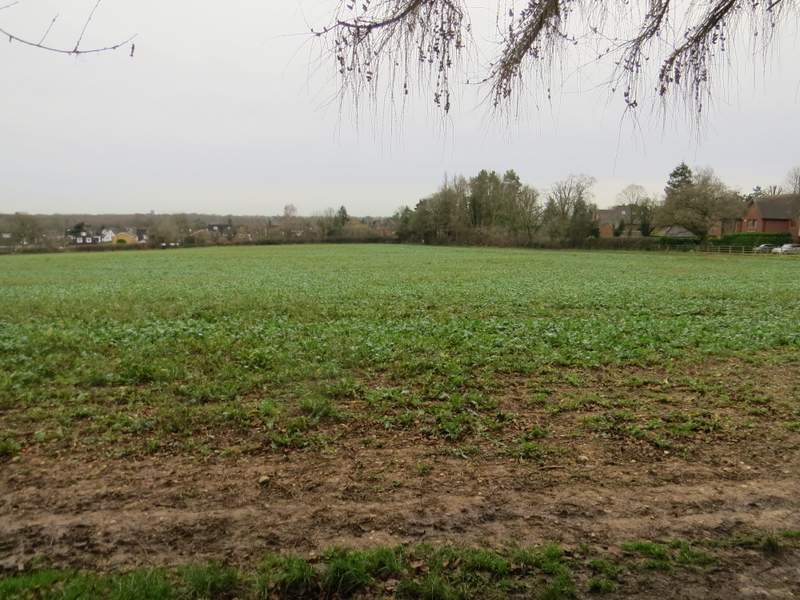
After about a mile, the bridleway ended by the start of the drive to Seagrave's Farm, where I turned left (I was now back on known territory, this being part of an Old Amersham and Beaconsfield walk I did in January 2011). I followed the drive uphill to reach the farm (the OS map initially shows the path to the left of the drive, with the drive on the right-side of the initial tree-belt - it looks as if the drive now follows the line of the footpath). At the farmyard I turned right, the footpath now following a farm track which was soon heading gently downhill. After passing one side of a wood on my left, the footpath left the track and crossed a field diagonally to a corner. Here it went through a hedge gap and turned right. It soon came to a corner where it turned left, now with some gardens in Knotty Green on the right. At the next field corner I went a yard or two on and then turned left along a path, with the same field close by on my left and more gardens to my right.
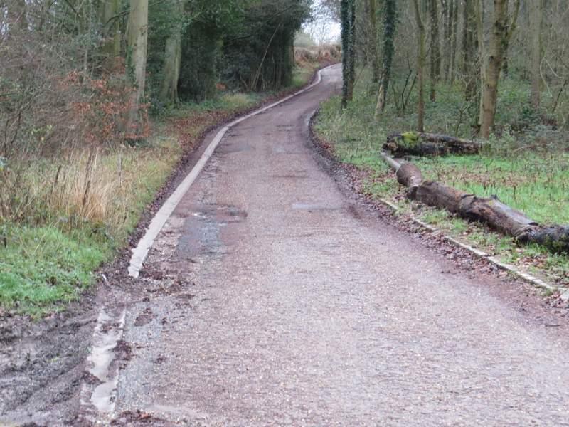
The drive to Seagrave's Farm
The drive to Seagrave's Farm
The path from Seagrave's Farm to Knotty Green
The path from Seagrave's Farm to Knotty Green
The path from Seagrave's Farm to Knotty Green - here I turned right and then left in the field corner, then left along a path behind the far hedgerow
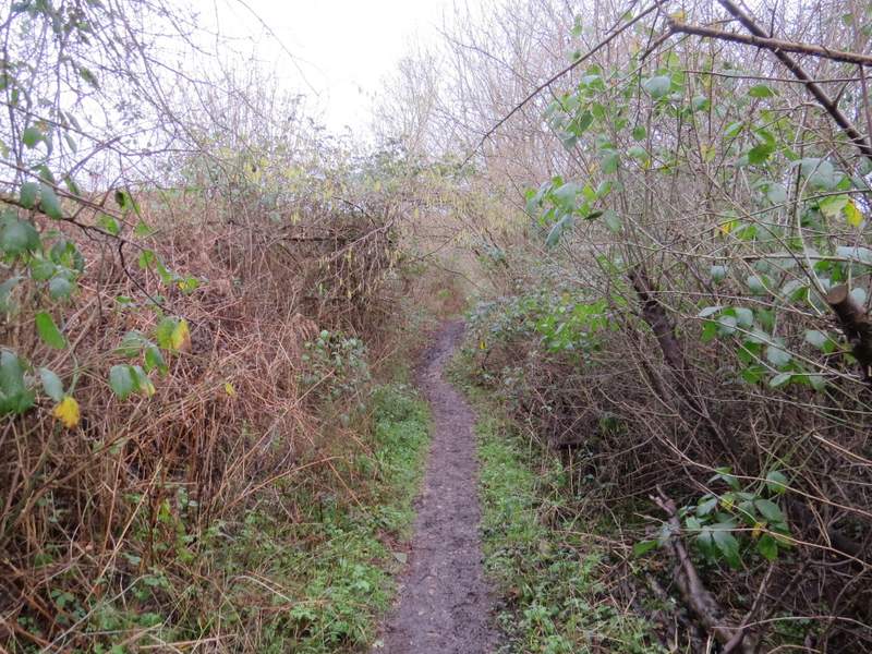
The path from Knotty Green (behind the far hedgerow in the previous photo)