Pete's Walks- Amersham Old Town and Knotty Green (page 3 of 4)
If you are considering walking this route yourself, please see my disclaimer. You may also like to see these notes about the maps and GPX files.
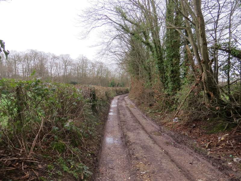
After a while the path entered Netherlands Wood, initially still with garden fences nearby on the right. I kept straight on at a path junction (there had been an earlier one when the fences turned right, not shown on the OS map). At some point the wood may have become Great Beard's Wood again (the boundaries aren't very clear on the OS Map). After a mile through the woods, I passed Wood Cottage and the footpath joined the drive from the cottage [Note: the shortcut I mentioned before comes in on the left just after I joined the drive]. I followed the drive for half a mile to reach the A335 (the main road going south from Amersham Old Town to Beaconsfield).
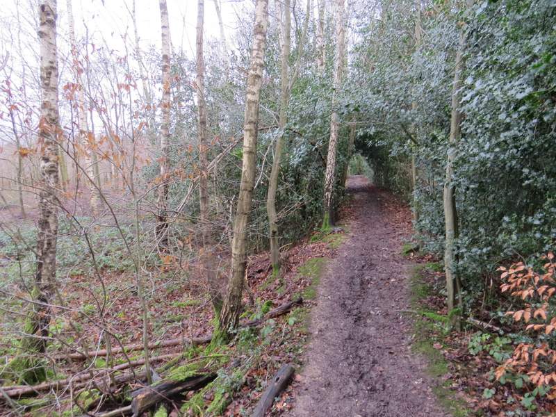
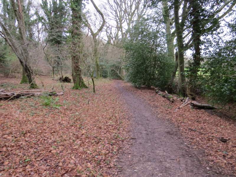
The path continuing through Netherlands Wood
The path continuing through Netherlands Wood
The path continuing through Netherlands Wood
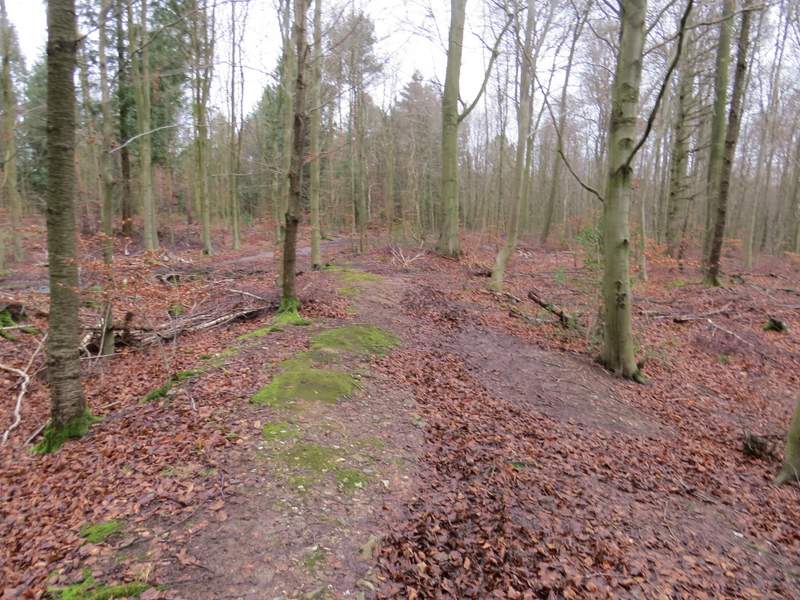
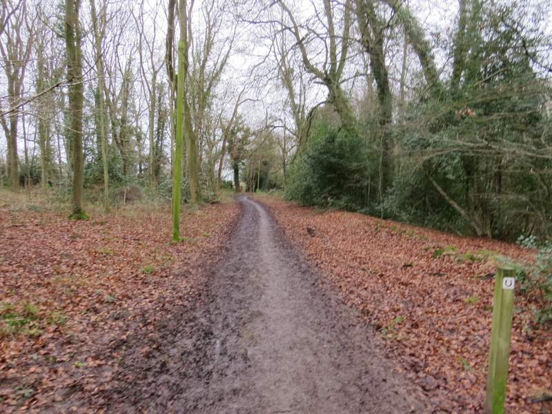
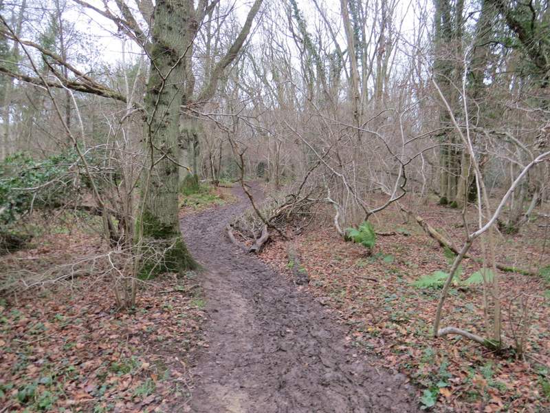
The path continuing (possibly now in Great Beard's Wood)
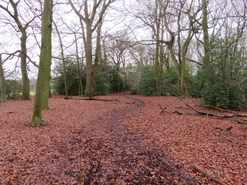
The path continuing (possibly now in Great Beard's Wood)
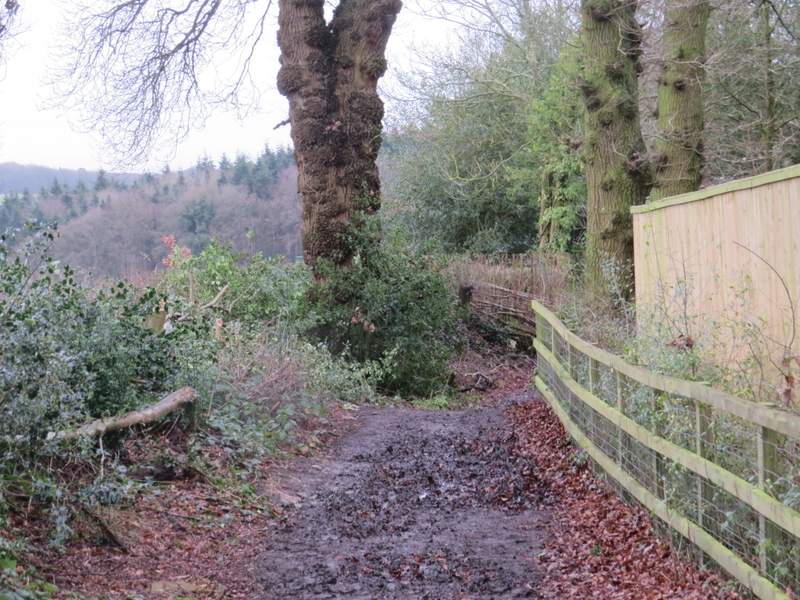
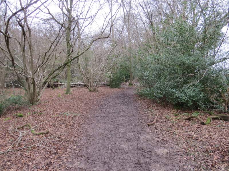
Approaching Wood Cottage
The track from Wood Cottage
The track from Wood Cottage
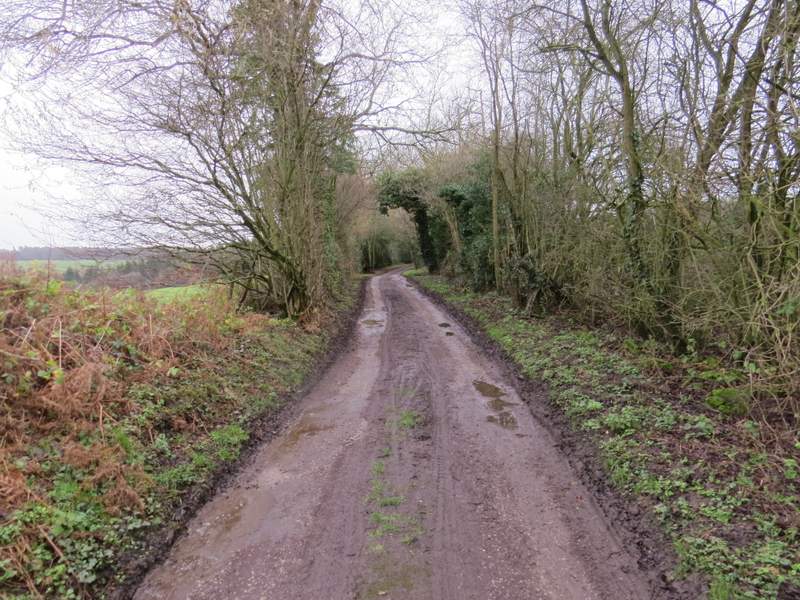
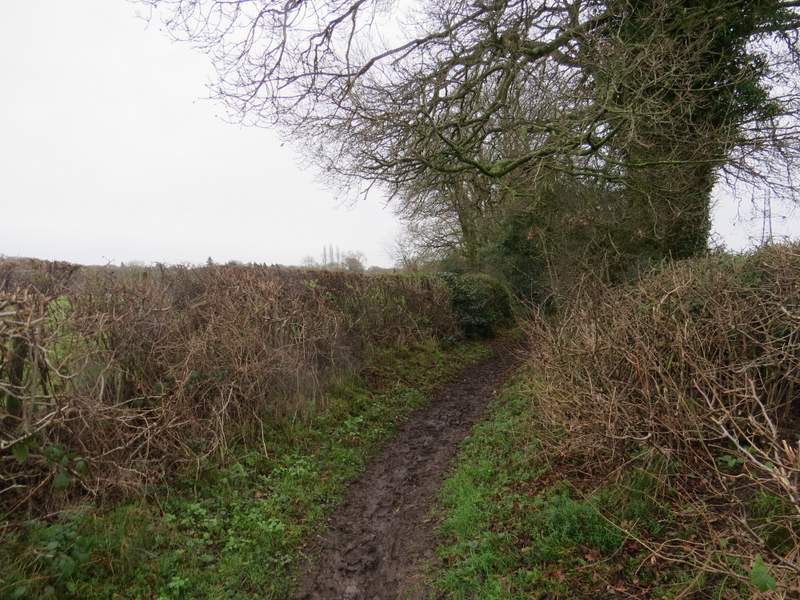
Across the road, a bridleway continued between hedges to reach Bottom Wood. The short climb out of the wood was muddy and slippery, the worst bit coming near the top of the slope where the bridleway once more ran between hedgerows. At the end of the bridleway I turned left along Bottom Lane.
The start of the bridleway across the A355
The bridleway rising out of Bottom Wood
The bridleway continuing from Bottom Wood to Bottom Lane
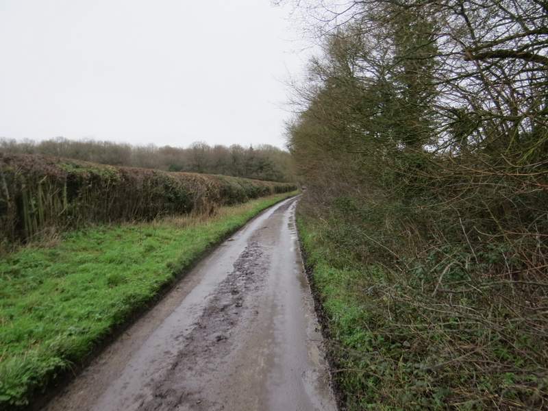
Bottom Lane
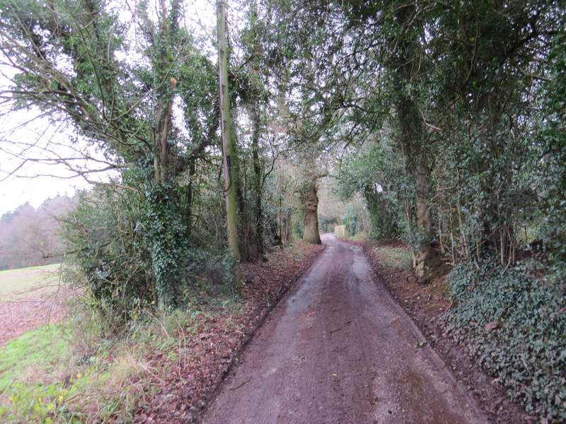
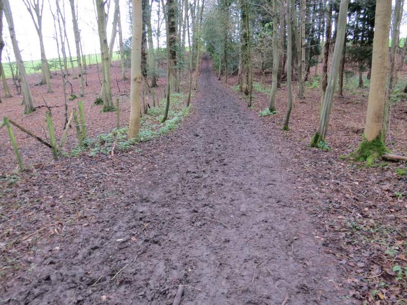
When Bottom Lane turned right, I went straight on, heading north into Hodgemoor Woods. Almost straight away there was a narrow fork where I took the right fork rather than the track going more or less straight on. At the end of this path I turned right (east). After almost half a mile the path left the wood, continuing on beside a paddock, with a lane (the continuation of Bottom Lane) over the hedge on my right. The path turned left along another side of the paddock (the path here was between two fences, and was generally grass standing in an inch or two of water - at least it washed some of the mud off my boots!). The path continued through a stable yard and re-entered Hodgemoor Woods, heading north with the edge of the wood close by on my right. I continued on through the wood for about half a mile, the footpath becoming a bridleway at some point. The OS map shows a couple of places where the path or bridleway splits only to come back together further on - I didn't really notice these, I generally just stuck to the path closest to the edge of the wood. Eventually I reached a lane, Botterells Lane.
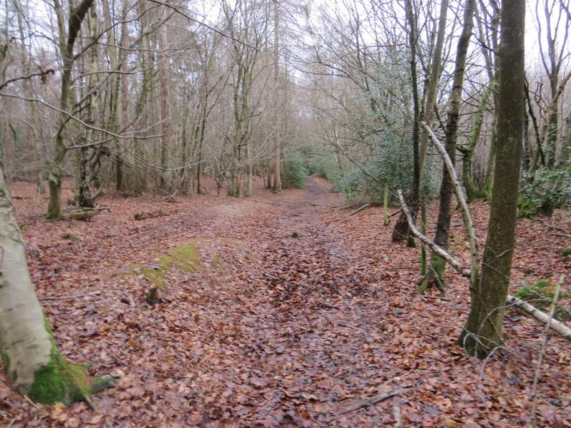
The path north or north east through Hodgemoor Woods
The path east or southeast through Hodgemoor Woods
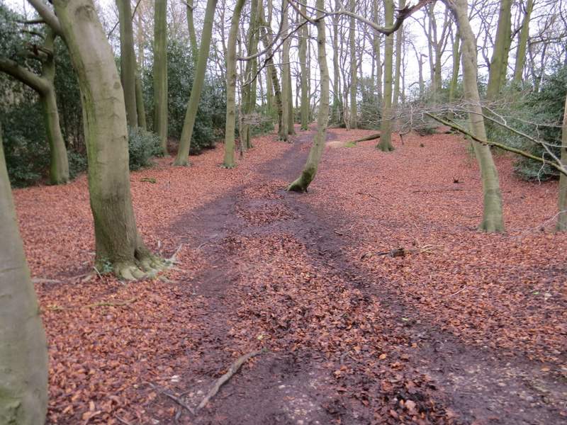
The second path north or northeast through Hodgemoor Woods
The second path north or northeast through Hodgemoor Woods