Pete's Walks- Watlington Hill and Russell's Water (page 2 of 5)
If you are considering walking this route yourself, please see my disclaimer. You may also like to see these notes about the maps and GPX files.
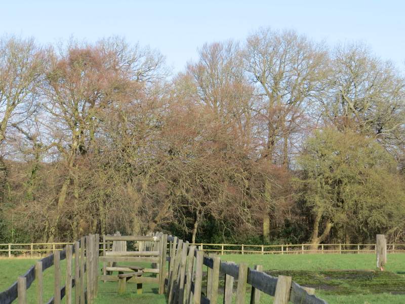
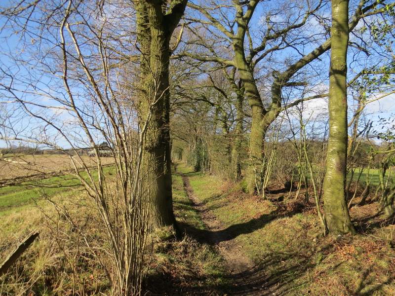
I followed the drive until just after it turned left, when I turned right beside a pond. I continued a short way along the right edge of Maidensgrove Common until I reached a gravel drive, where I turned right and soon reached a farm. Here the footpath went slightly left, between the wooden fences of some paddocks to reach Doyley Wood. The path dropped down through the wood to a small valley, then rose up the other side (I must have been lost in a daydream, because this is pretty steep but I don't remember it at all!). Beyond the wood the path followed the left edge of a meadow to reach a stile and a path crossroads. I WAS lost in a daydream, because I went straight on here for about a hundred yards, before remembering I'd meant to turn left. I hurriedly retraced my steps and set off in the correct direction, along a bridleway that was initially just inside a wood.
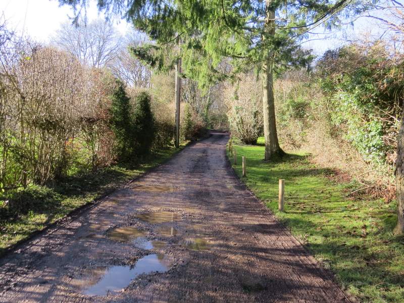
The drive through part of Maidensgrove
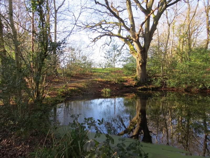
Pond on the edge of Maidensgrove Common
The path on Maidensgrove Common
The path to Doyley Wood
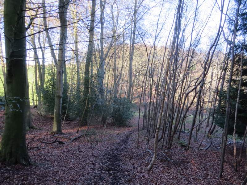
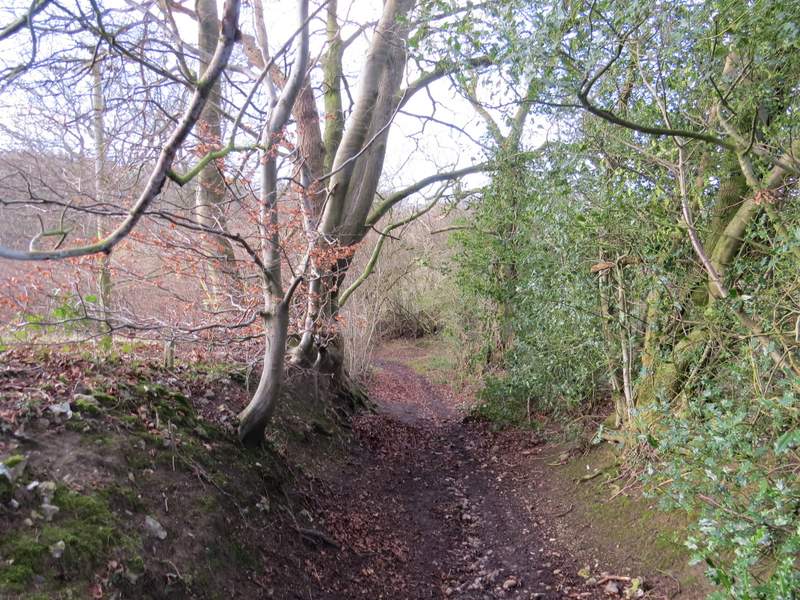
The path through Doyley Wood, approaching the valley bottom
The same path as it crosses the valley bottom and starts up the other side
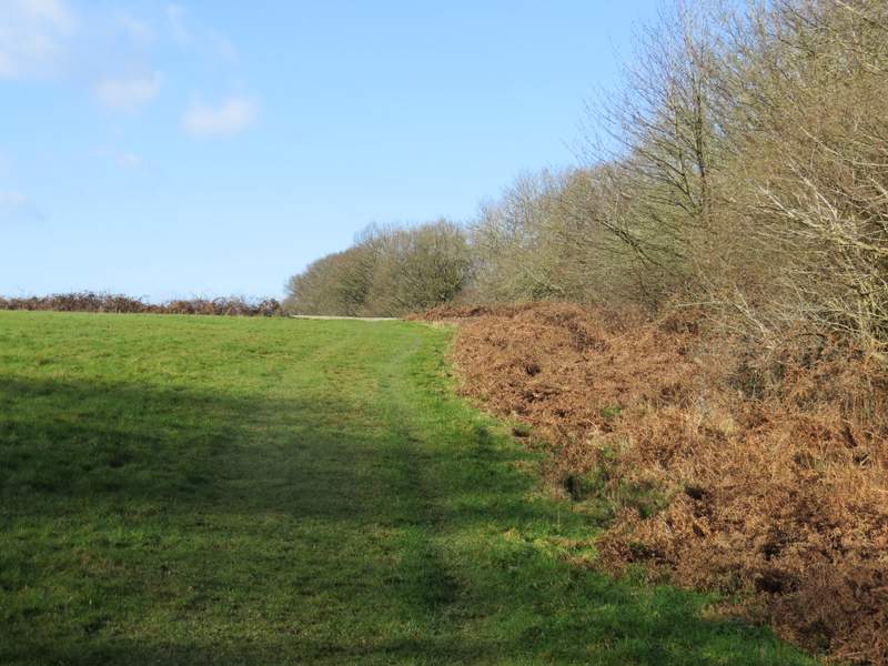
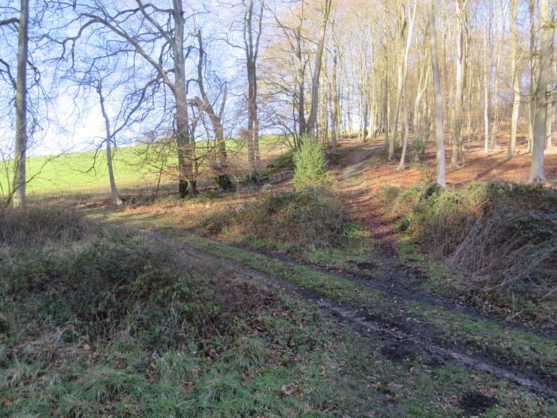
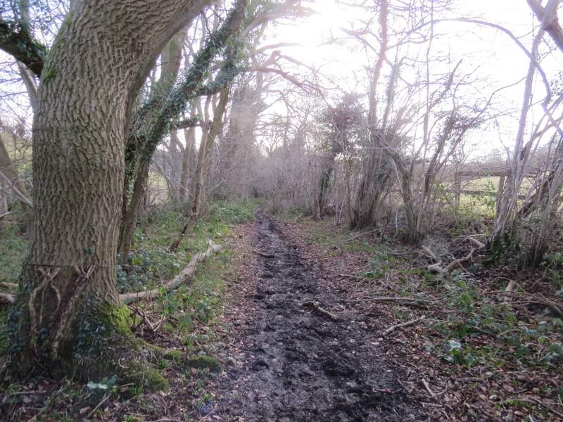
The path continuing beyond Doyley Wood
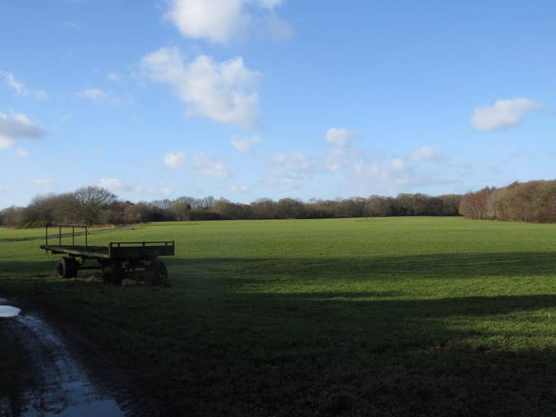
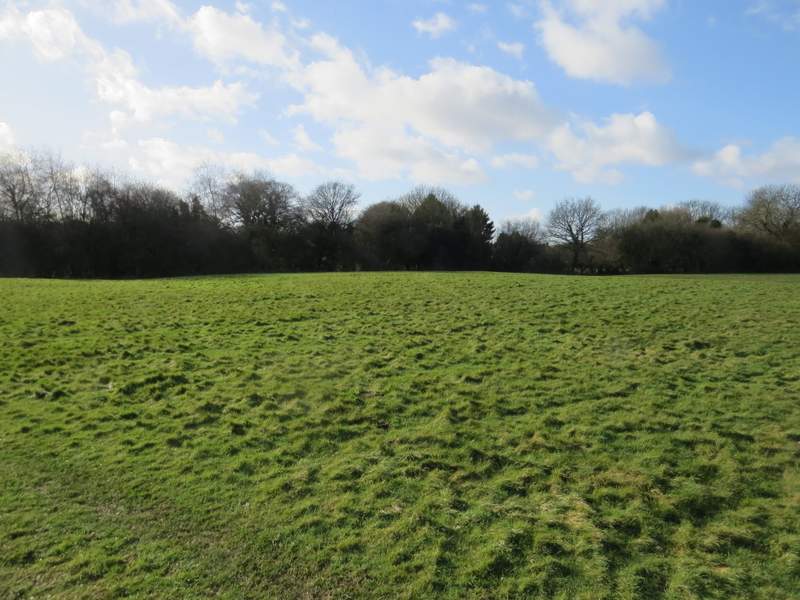
Beyond the wood the bridleway continued between mature hedgerows either side, and led me to another farm. Beyond the farm yard I just went straight on, walking out into the centre of a section of Russell's Water Common. I was gradually diverging from the drive from the farm, to my left, but I watched where the drive went and when it reached the trees on that side of the common, I turned left and aimed for the trees about a 100 yards further right from where the drive met the trees. I could soon see a white-topped post, which marked where a short track led through the trees to some cottages in Russell's Water. I followed the track, which went left then right and passed the pond that gives the village its name, until I reached the lane that runs through the village.
The bridleway heading to Russell's Water Common
The bridleway heading to Russell's Water Common
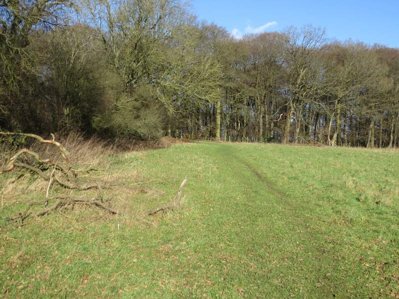
The bridleway now heads straight out into the middle of this section of Russell's Water Common ...
... before turning left to head towards Russell's Water (there is a white-topped post where a track leads into the village)
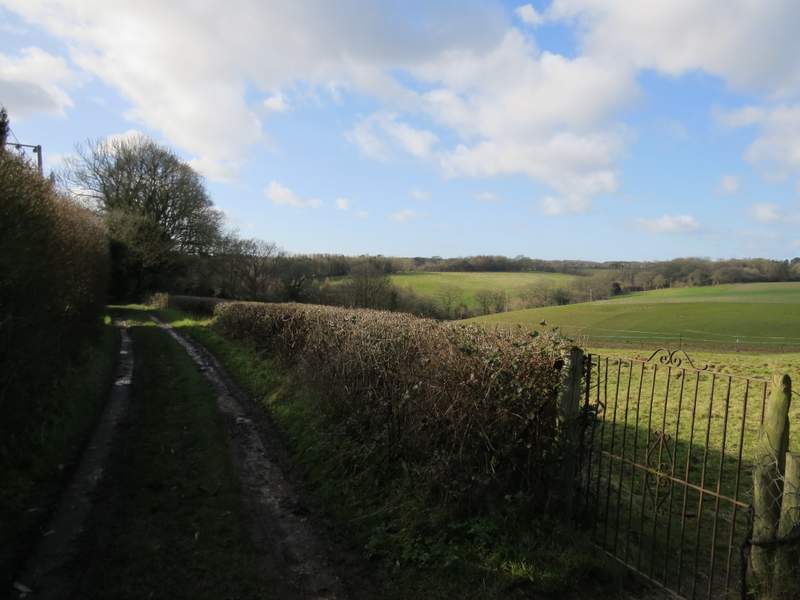
I turned left, passing another side of the pond, and followed the lane a short distance before taking a bridleway on the right. Beyond a cottage garden on my right there was a nice view over the valley I was about to descend into. The bridleway was soon dropping down into the valley, and at the bottom of the slope I turned left at a bridleway T-junction.
Near the start of the bridleway from Russell's Water
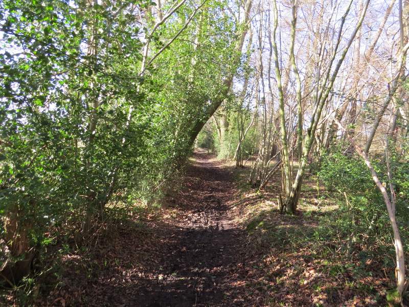
The bridleway from Russell's Water
The bridleway along the valley bottom