Pete's Walks- Watlington Hill and Russell's Water (page 1 of 5)
If you are considering walking this route yourself, please see my disclaimer. You may also like to see these notes about the maps and GPX files.
UPDATE 30/10/2023: You now have to pay (£3 a day, I believe) at Watlington Hill car park, unless you are a National Trust member.
I did this circular walk of about 15.3 miles on Saturday, January 30th, 2016. It was a repeat of a walk I did in April, 2012.
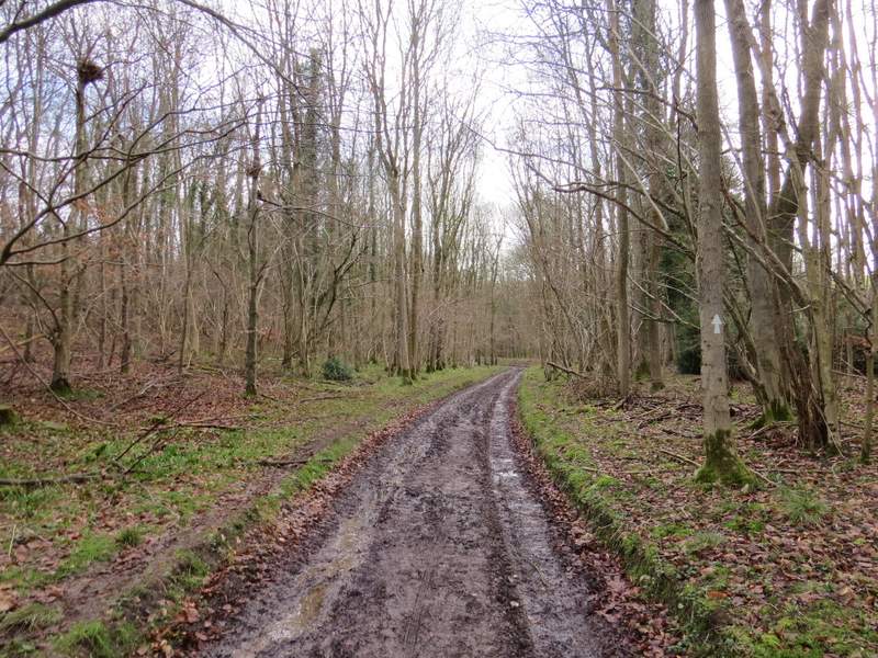
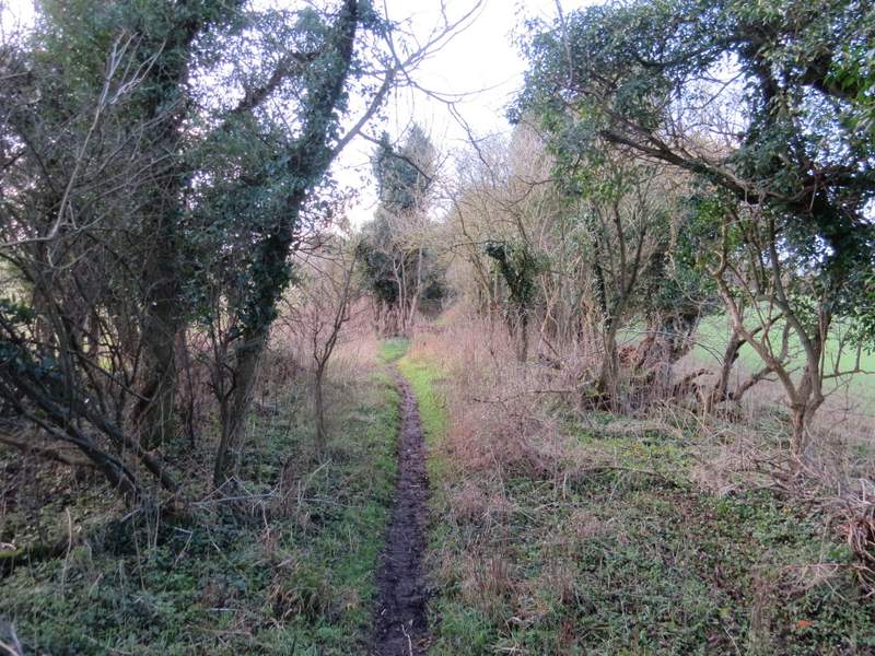
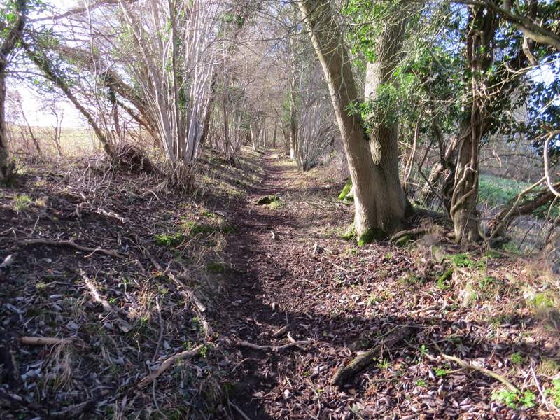
I parked in the car park on top of Watlington Hill (grid reference SU 709936) - it had been raining for the last 15-20 minutes as I'd driven there, and I sat in my car for 10 minutes or so until I was sure the rain had stopped, finally starting walking about 10.25am. I turned right from the car park and followed the road about a quarter of a mile to a T-junction, where I turned right to enter the wonderfully named Christmas Common. I very soon forked left at another junction, and just as quickly then forked right down Hollandridge Lane. After about a quarter of a mile I turned left onto a bridleway (I'd earlier passed a footpath on that side), which descended gently through a wood called Prior's Grove. At the bottom of a valley the bridleway turned right, and there then followed a pleasant stretch of about a mile and a half, following the bridleway along the valley bottom through Fire Wood.
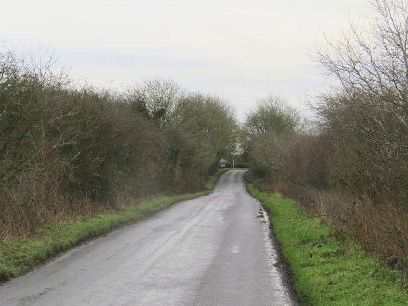
The road from Watlington Hill to Christmas Common
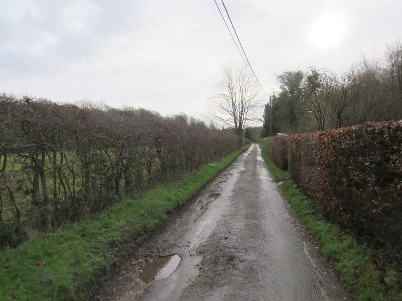
Hollandridge Lane, running through Christmas Common
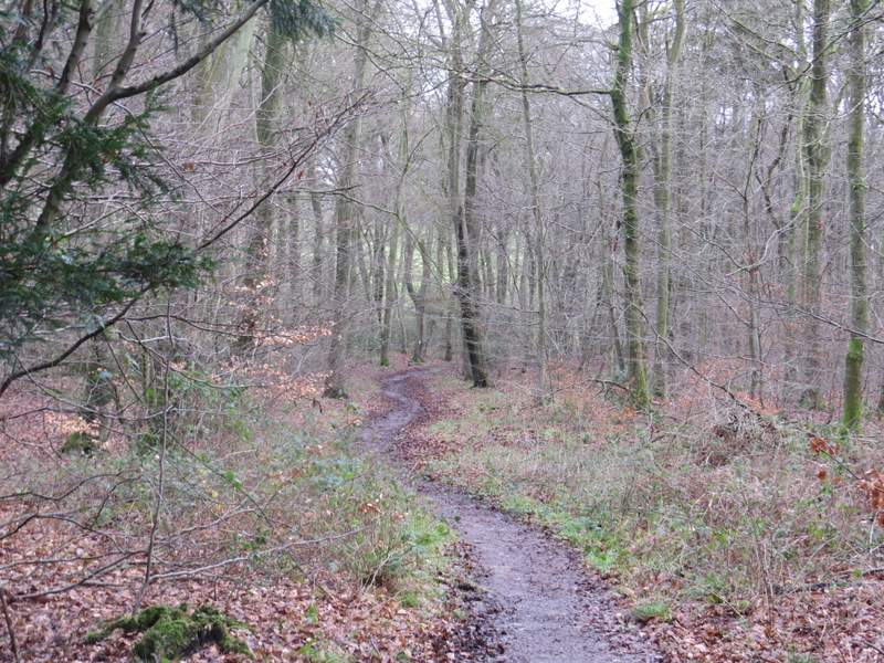
The bridleway from Christmas Common, descending through Prior's Grove
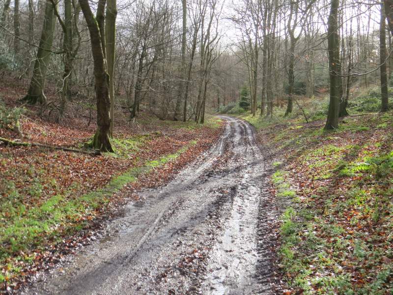
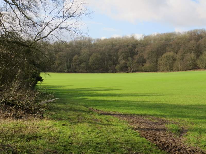
The bridleway continuing through Fire Wood
The bridleway continuing through Fire Wood
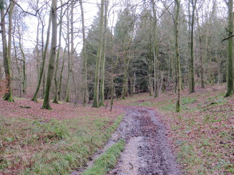
The bridleway continuing through Fire Wood
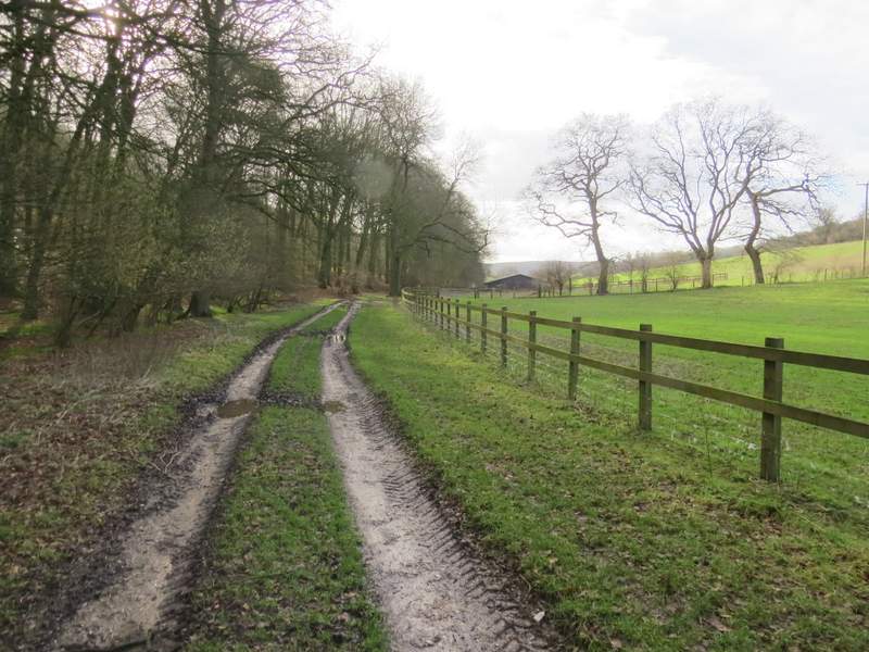
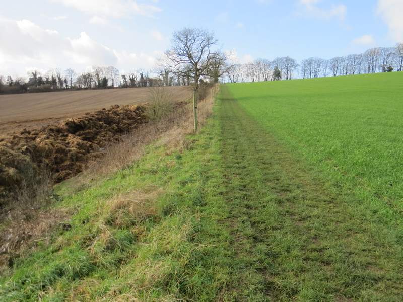
Eventually the bridleway (and valley) curved right and I soon passed Turville Park Farm. Here I went straight on, the bridleway running between widely-spaced fences for a while and then running beside a tall hedgerow on my left. Further on, the bridleway switched to the left of the hedgerow and a little way after that I came to a path crossroads. Here I turned right, and went uphill along the edge of a field to rejoin Hollandridge Lane, where I turned left. I followed the lane to its end, where I again turned left and followed a minor road heading towards the village of Stonor.
The bridleway approaching Turville Park Farm
The bridleway just after Turville Park Farm
A little further along the bridleway
The path from the bridleway back to Hollandridge Lane
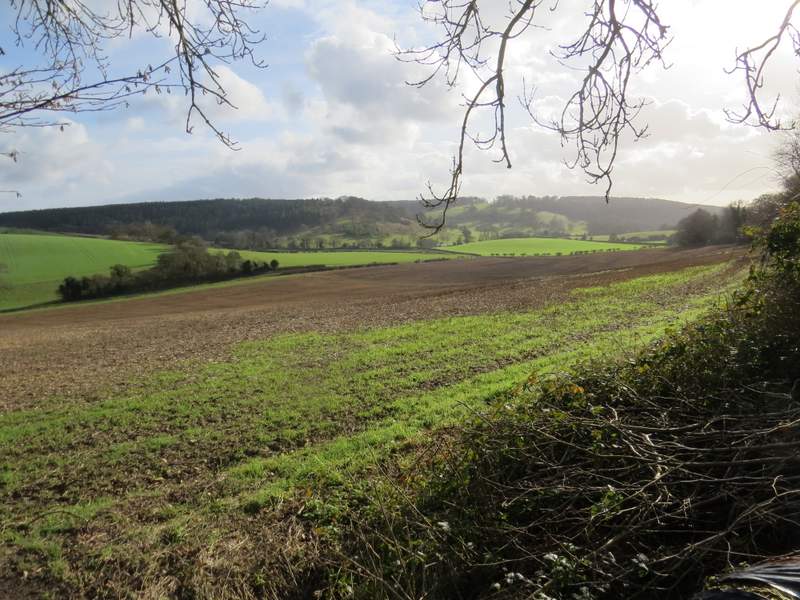
Looking toward Stonor Park from where I rejoined Hollandridge Lane
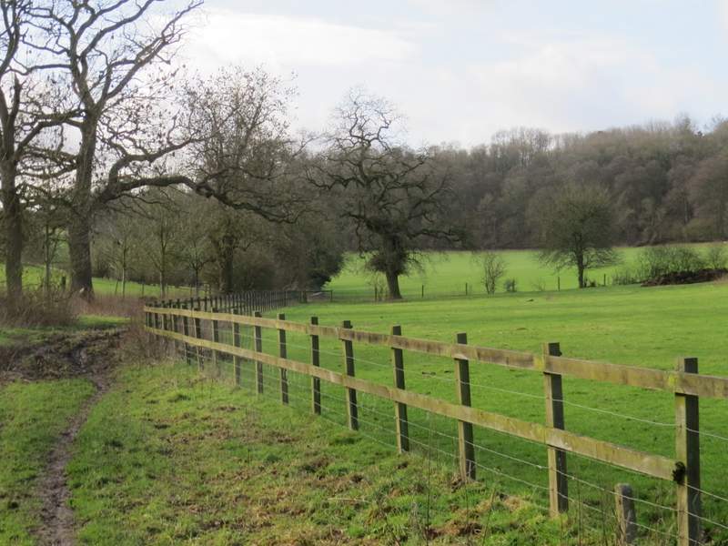
Hollandridge Lane
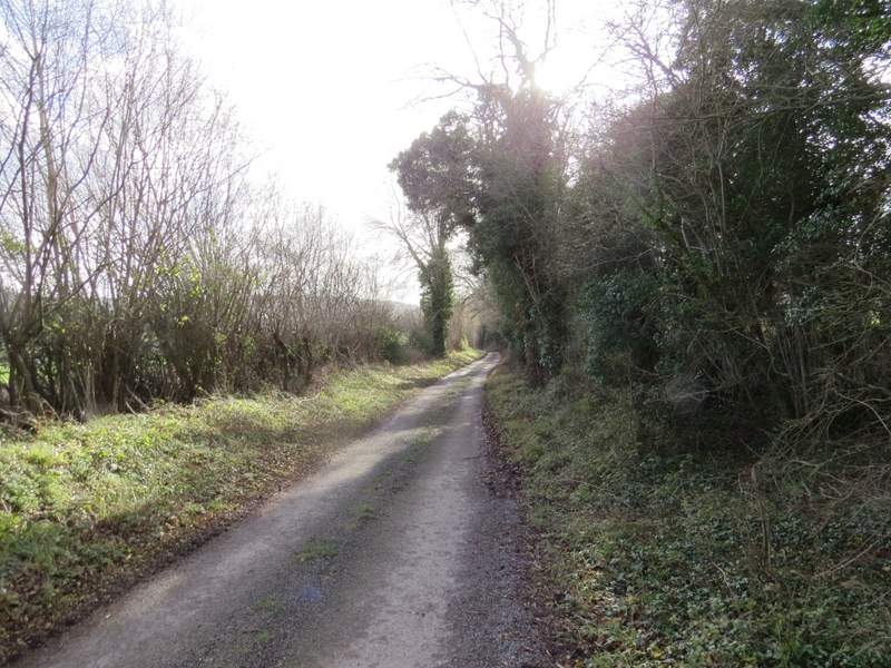
I only followed the road for a couple of hundred yards or so (so I didn't get as far as Stonor), before turning right along a path that ran between hedgerows for a while before continuing gradually uphill through Pishillbury Wood. About three-quarters of a mile after leaving the road, I came to a path junction - the OS map shows a path crossroads here, but in order to go 'straight on' I actually had to turn left for about a hundred yards and then turn right. The new path almost immediately left the wood and continued down a private drive in part of the village of Maidensgrove.
The footpath to Pishillbury Wood
The footpath to Pishillbury Wood
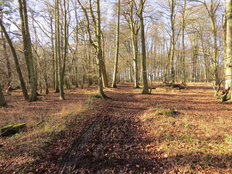
The footpath continuing through Pishillbury Wood