Pete's Walks- Maidensgrove, Ibstone, Middle Assendon (page 1 of 6)
If you are considering walking this route yourself, please see my disclaimer. You may also like to see these notes about the maps and GPX files.
I did this circular walk of about 14.2 miles on Saturday, March 19th, 2016. It was a new route for me, though almost entirely on paths I'd walked before with just two short sections on paths I'd not used before.
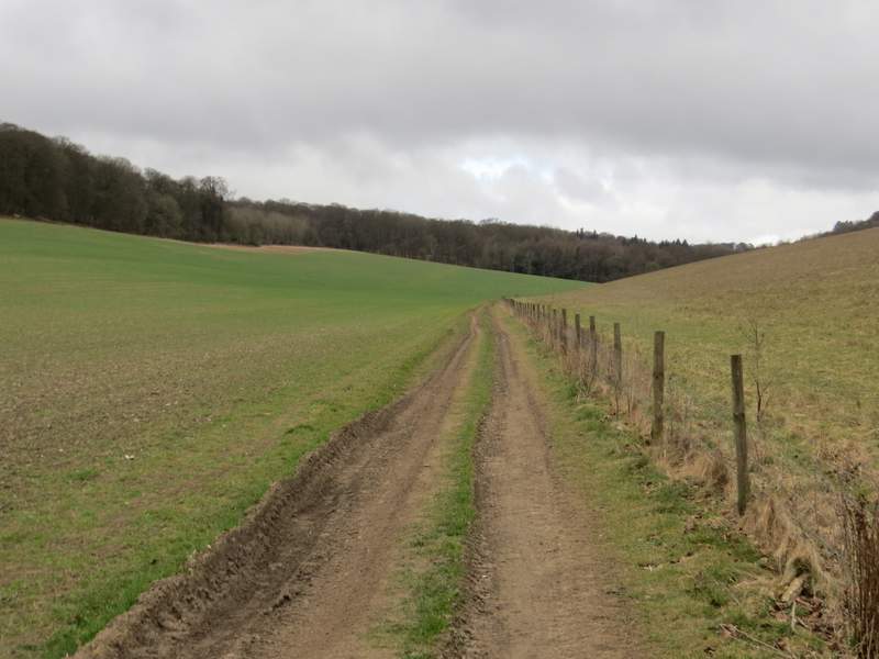
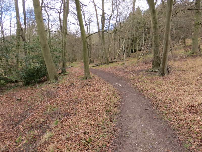
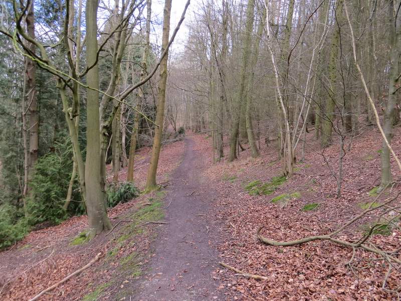
I parked on the lane that crosses Maidensgrove Common (grid reference SU 717886), just outside Maidensgrove itself and started walking about 10.30am (I'd started my previous walk here as well, six days ago). I followed the lane into Maidensgrove, ignoring a footpath going left to Maidensgrove Farm and then a little further on turning left onto a footpath along a drive (newly resurfaced) that soon passed a pond on my left. At the end of the drive, the path continued a few yards into a wood to reach a junction with a bridleway where I turned left. I soon came to a junction where a footpath went right, but I continued straight on along the bridleway (part of the Oxfordshire Way). It's some years since I've been this way, but I remembered how steeply the path dropped downhill through the wood (I've always thought this was part of Pishillbury Wood, but looking on the OS map the bridleway is just inside the eastern boundary of Doyley Wood - having said that, the bridleway was on the right of a fence for part of the way, if that was the boundary between the woods, and I can't think what else it was, then I was in Pishillbury Wood).
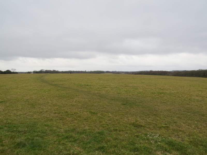
Maidensgrove Common
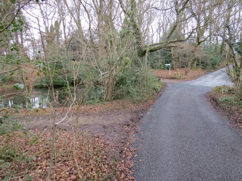
Near the start of the private drive, Maidensgrove
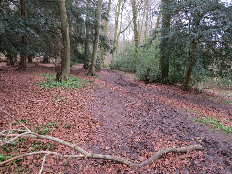
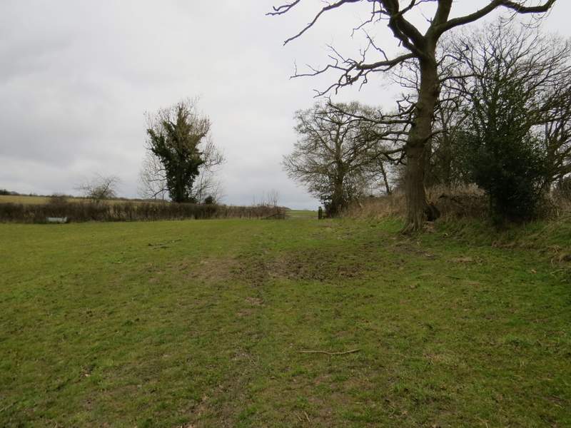
Pishillsbury Wood, where the path meets the bridleway and I turned left
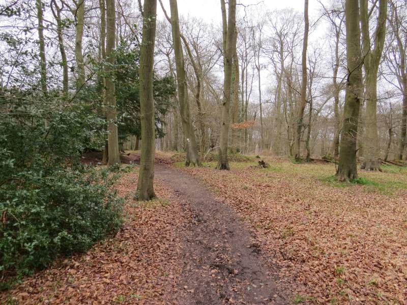
The bridleway through Pishillbury Wood
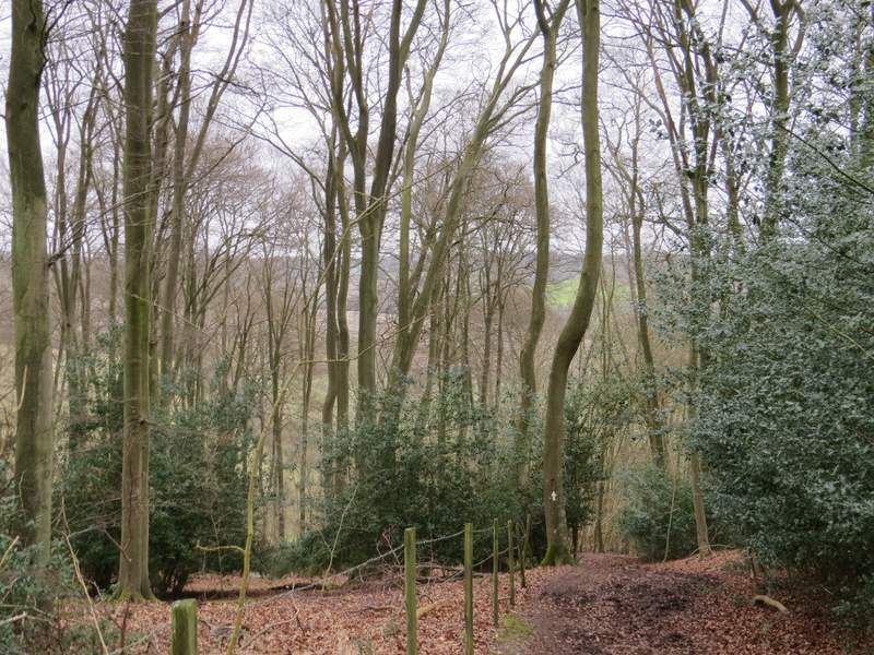
The bridleway through Pishillbury Wood
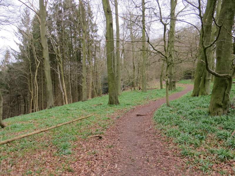
When the bridleway left whichever wood it was, it followed a mature hedgerow on my right though a very large meadow, descending a little further then rising up the other side of a small valley. I went through a couple of gates and came to a junction with another bridleway coming in from the left, the combined bridleways continuing down a drive and then a lane, soon reaching Pishill church, where I took my usual photo looking rightwards towards the deer park at Stonor (I'd take one looking back the other way, later on).
The bridleway continuing from Pishillbury Wood
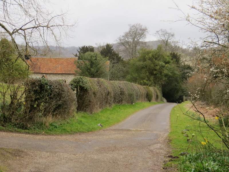
The lane past Pishill church
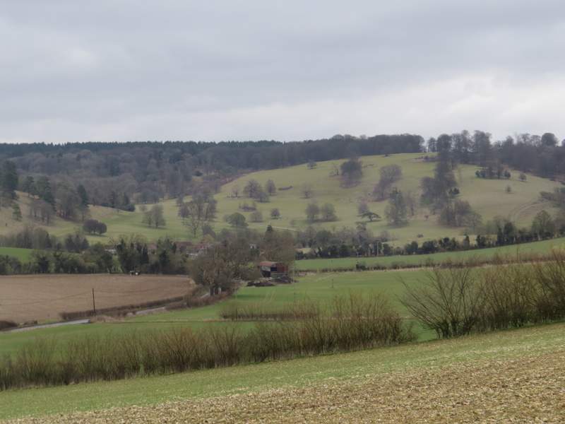
View from Pishill church to the deer park round Stonor House, where I'd be much later on the walk
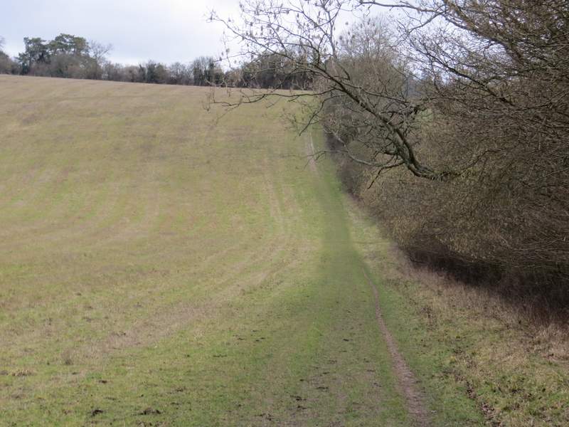
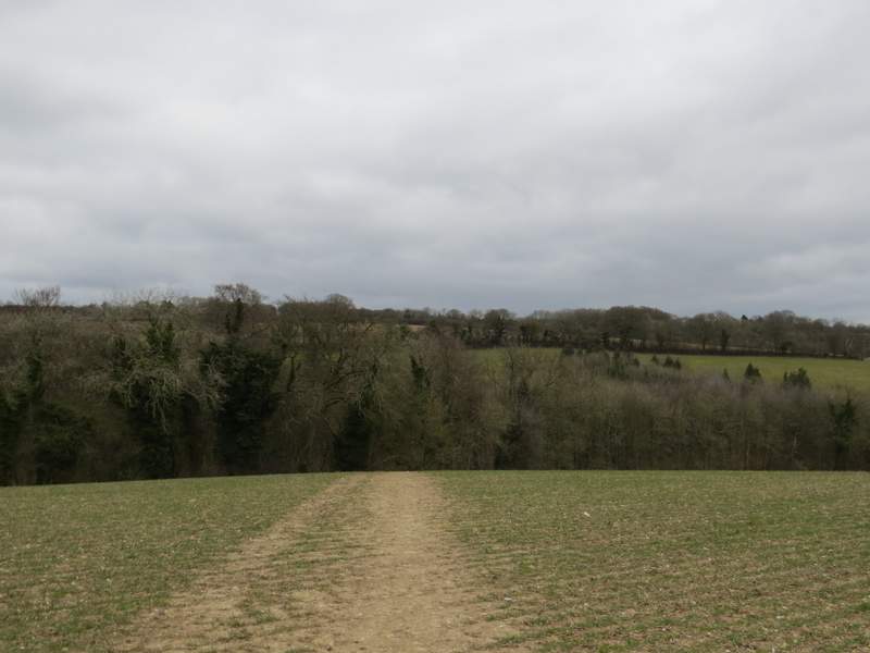
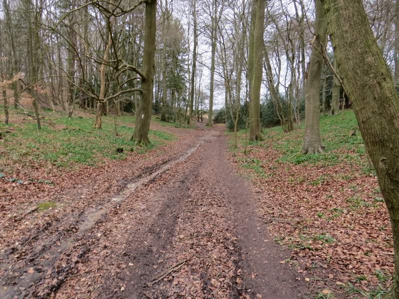
At the end of the lane I turned right along a road for a short distance - I almost immediately spotted two Buzzards and a Red Kite over a field straight ahead of me. Where the road turned right, I took a footpath on the left (still following the Oxfordshire Way). As I followed the path along a small valley, one of the Buzzards flew low overhead just 20-30 yards ahead of me, then a few seconds later the second did the same. If a Red Kite had done that, I wouldn't have been at all surprised, I have similar close encounters with them all the time, but it was most unusual for Buzzards to come so close. The path took me to College Wood, where it soon turned slightly right and gradually went uphill, After a while it levelled out for a while (I saw a patch of blue sky ahead of me here, the only one I'd see all day), before turning right to reach the top of the slope, where it turned left to continue just inside the edge of the wood. At a path junction I turned right to go over a stile and leave the wood, now being briefly on the routes of both the Oxfordshire Way and the Chiltern Way.
The footpath from Pishill to College Wood
The same path, now just inside College Wood
The path continuing through College Wood
The path continuing through College Wood
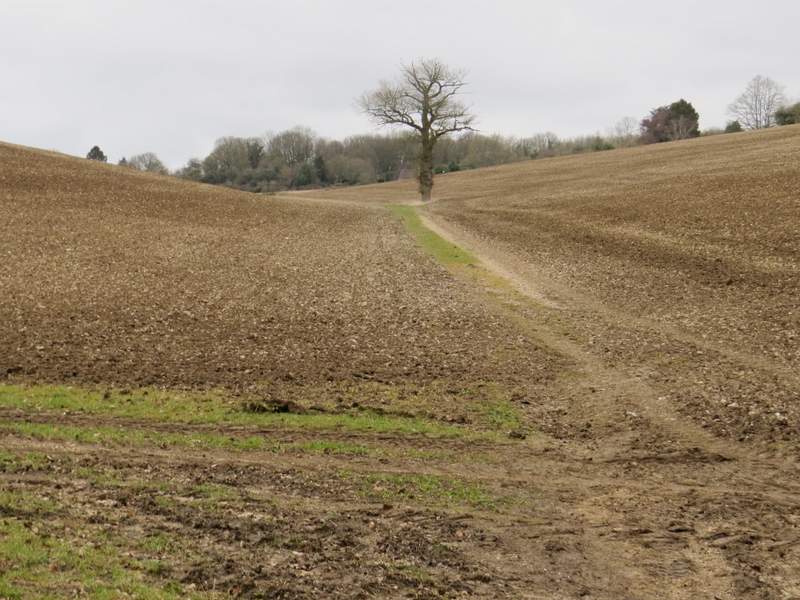
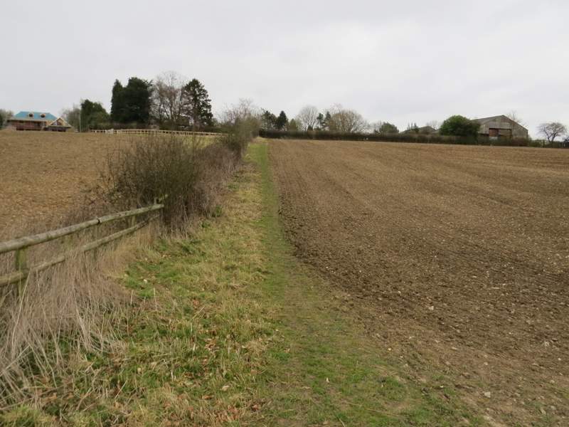
The path went through a meadow, close to its right edge, and then crossed a track called Hollandridge Lane (close to Hollandridge Farm, on my right). The path continued on through an arable field, soon curving left and dropping steeply downhill to reach Fire Wood. In the valley bottom I reached a junction of bridleways - the Oxfordshire way went left here, but I continued ahead along part of the Chiltern Way. On reaching the edge of Fire Wood, the bridleway continued along the bottom of a shallow valley, with ploughed fields either side. When a hedge and fence came down from the right I turned right alongside it (oddly no waymark or sign here), then turned half-right between wooden fences to pass between a couple of properties. I then went straight on over part of an 'open access' area to reach the road that runs through Northend (so named because it is in the north end of the parish of Turville - I'd pass through Southend later in the walk).
The path from College Wood approaching Hollandridge Lane
The path from Hollandridge Wood to Fire Wood
The bridleway through Fire Wood
The bridleway continuing from Fire Wood
The footpath to North End