Pete's Walks- Maidensgrove, Ibstone, Middle Assendon (page 2 of 6)
If you are considering walking this route yourself, please see my disclaimer. You may also like to see these notes about the maps and GPX files.
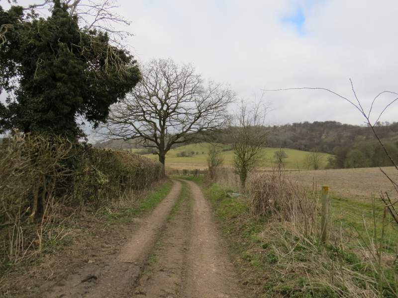
I turned right and followed the road through Northend until I came to a junction, where the road went right and Holloway Lane continued straight on (there was a large pond on the right here). I went just a few yards down the lane (which I'd come across again later on) before turning left along a bridleway. This soon passed the entrance to Northend Farm on my left, then turned right, going through a gate and passing a sign indicating that I had just entered the Wormsley Estate.
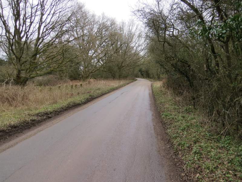
The road through Northend
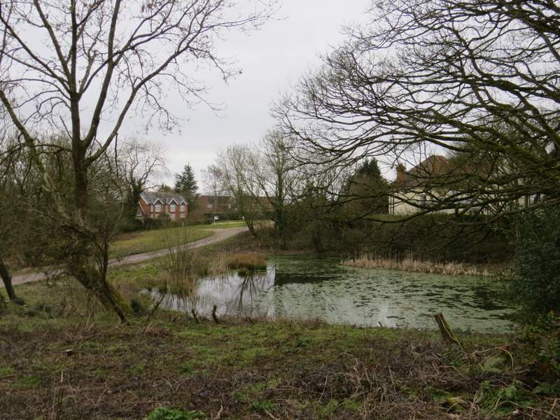
Large pond at Northend
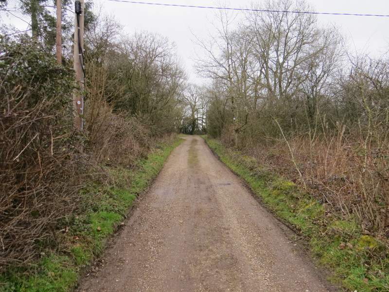
The start of the bridleway from Northend to the Wormsley Valley
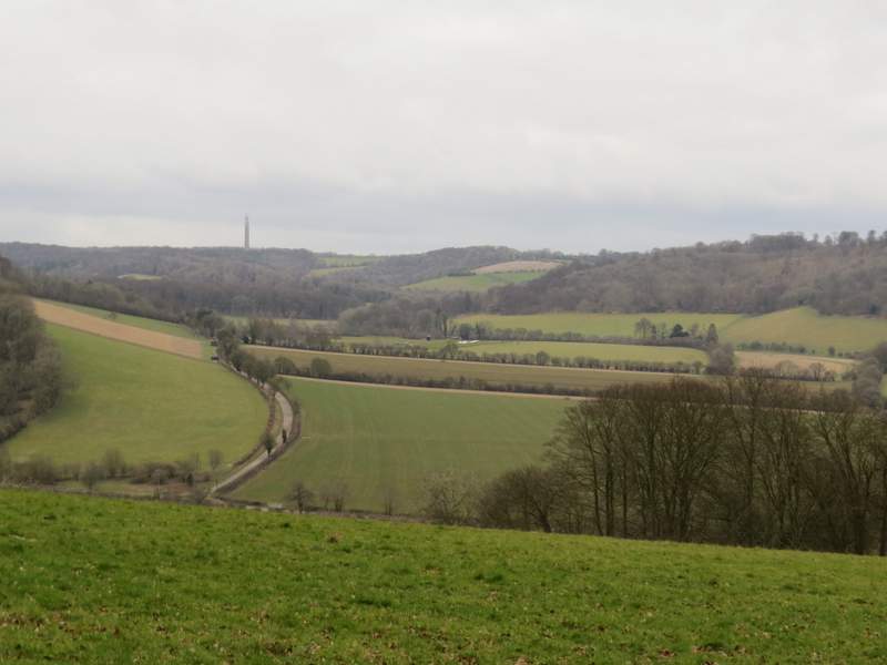
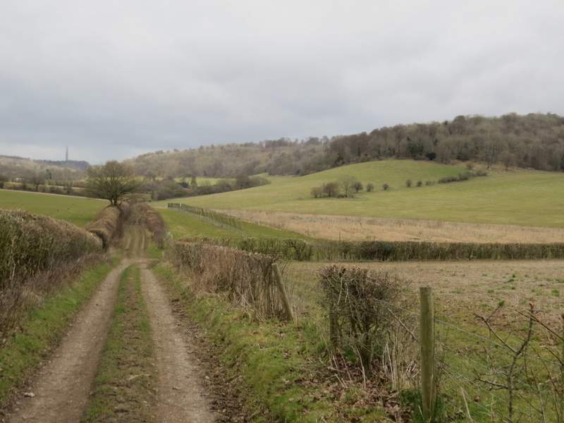
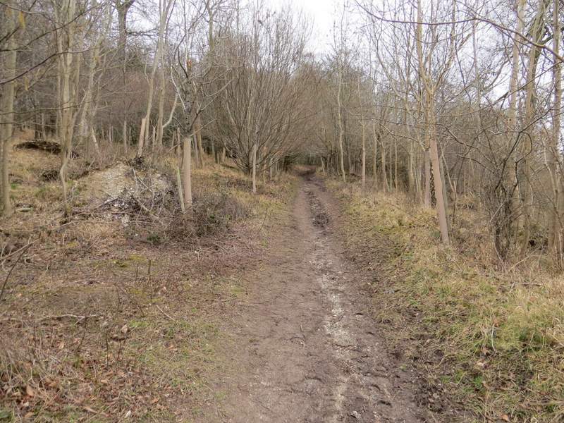
The bridleway soon turned left, but I had to stop here to admire the view looking southeast along a valley towards Turville. The bridleway now headed northwards for a while before turning half-right - again there was a fine view at this turn, looking north over the Wormsley Valley where I'd soon be walking. The bridleway was now going downhill on a track suitable for four-wheel drive vehicles, but when the track turned left the bridleway went straight on, dropping downhill quite steeply through trees and bushes forming a broad hedgerow.
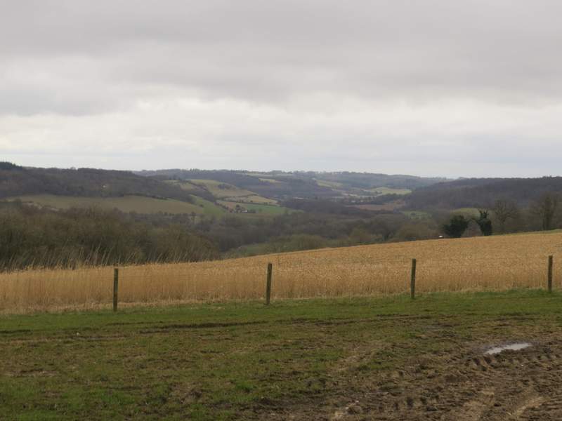
View looking right from the bridleway from Northend to the Wormsley Valley, towards Turville - as with all the views today, you'll just have to imagine how fine it would be on a sunny day!
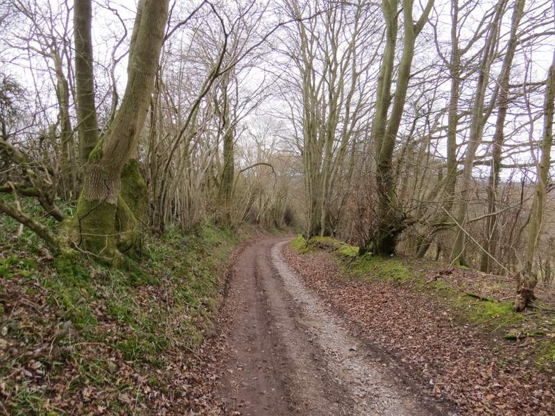
The bridleway from Northend to the Wormsley Valley
Looking left from the bridleway, northwards over the Wormsley Valley
The bridleway from Northend to the Wormsley Valley
The bridleway from Northend to the Wormsley Valley
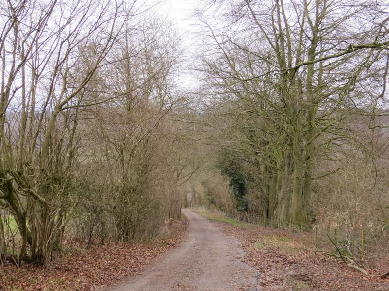
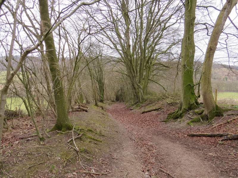
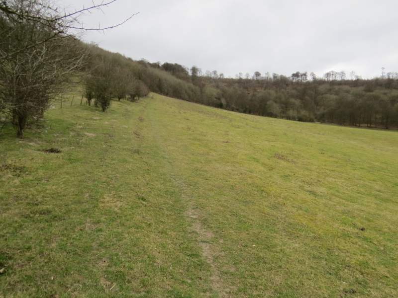
In the valley bottom, I crossed one of the surfaced drives through the Wormsley Estate and continued straight on along the bridleway as it ran along a farm track between hedges either side. I was now in the Wormsley Valley, an enchanting place unspoilt by roads and with steep wooded slopes either side. When a path crossed the bridleway, I turned right (rejoining the Chiltern Way, which I'd left when I turned right along the road in Northend). The path went uphill beside a fence and intermittent hedge on my left, to reach a stile on the edge of Commonhill Wood. I'd come down this path three weeks ago, so I was ready for how very steep the path was once it entered the wood. But it was only a short distance to where the path met a bridleway, where I turned right and continued uphill through the wood at a much easier gradient.
The bridleway through the Wormsley Valley - the patch of blue sky ahead of me has almost gone now
The bridleway through the Wormsley Valley - the route continues beside the intermittent hedge rising up the slope on the right
The path up to Commonhill Wood
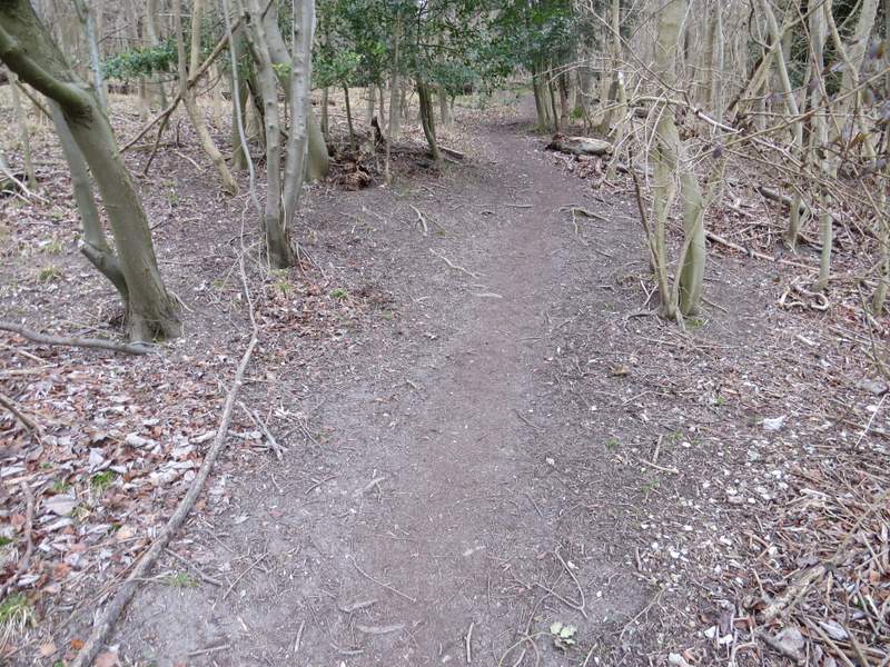
The path up to Commonhill Wood
The bridleway rising through Commonhill Wood
At the top of the hill, the bridleway left the wood and ran between hedges for a very short distance to reach Ibstone Common. Here I turned right, and walked along the edge of the large common with a hedge nearby on my right. In front of a single small tree, the path turned half-left. I crossed a drive, and continued along the edge of the common to reach a lane, where I turned right and followed the lane past Hellcorner Farm (great name!).
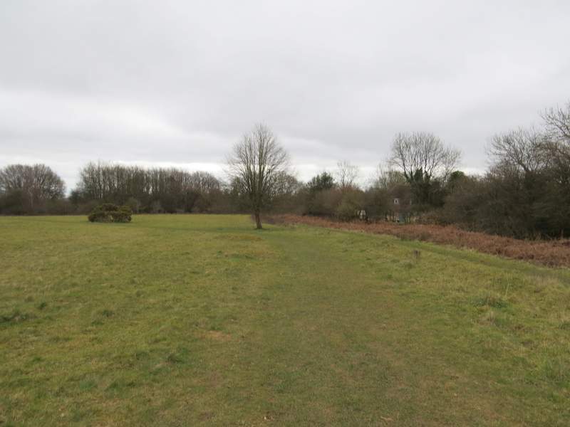
Ibstone Common (you can see where I turned half-left just in front of the tree in the centre of the photo)
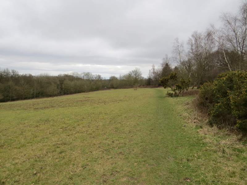
Ibstone Common, after I crossed the drive
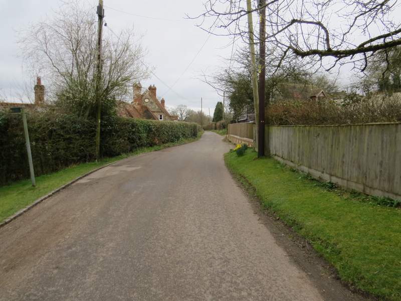
The lane in Ibstone that passes Hellcorner Farm