Pete's Walks- Maidensgrove, Ibstone, Middle Assendon (page 3 of 6)
If you are considering walking this route yourself, please see my disclaimer. You may also like to see these notes about the maps and GPX files.
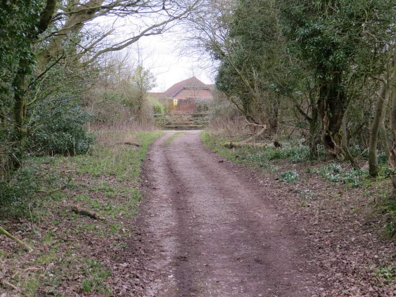
At the end of the lane a bridleway continued, heading gradually downhill, initially with a line of beech trees on my right. When I came to a junction where the bridleway curved left and a footpath went off on the right. I dithered for a few seconds before sticking to my original plan and continuing along the bridleway - if I'd gone right it would have been more scenic and would have led me to another of my favourite paths in the Chilterns, but I'd come that way very recently whereas I hadn't followed the bridleway for some years (I've shown the route I could have followed if I'd gone right on my Google map, marking it as 'Alternative 1').
The bridleway from Ibstone, continuing from the lane
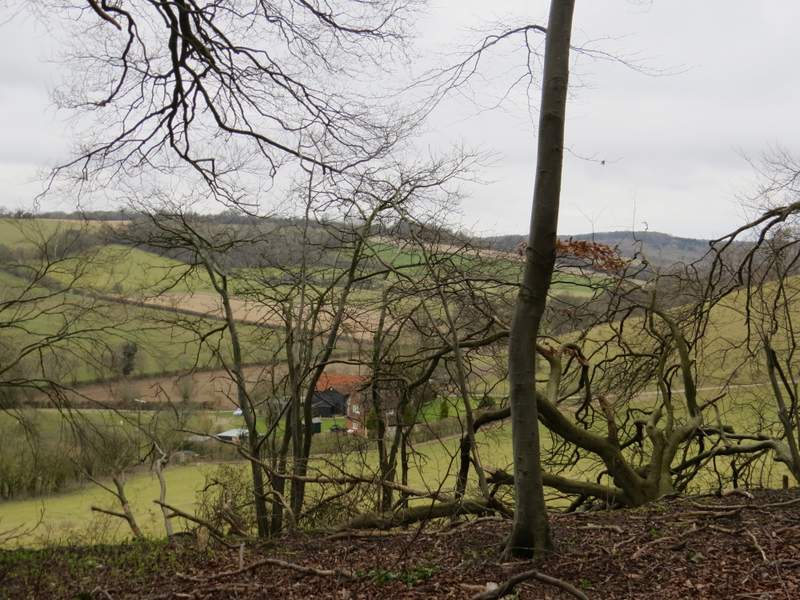
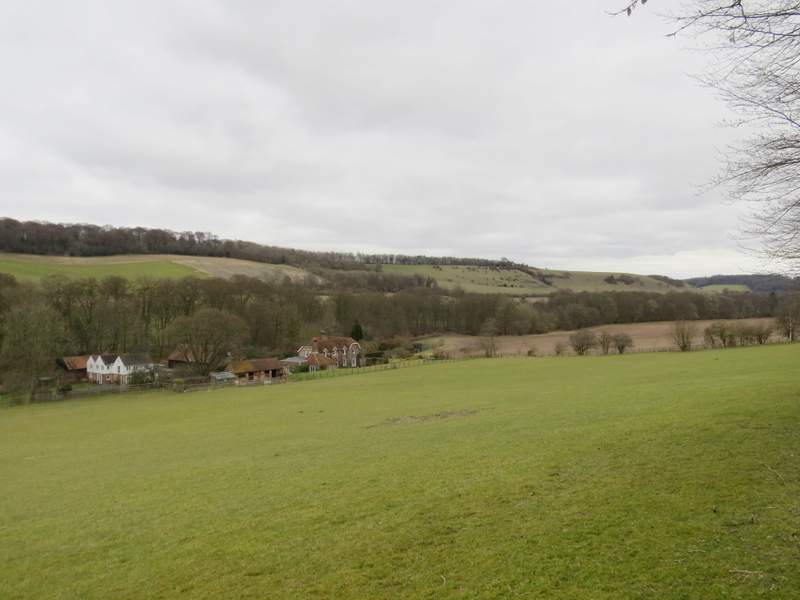
Looking right from the bridleway from Ibstone, to the Wormsley Valley
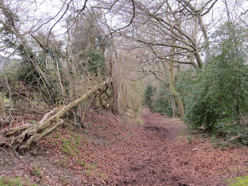
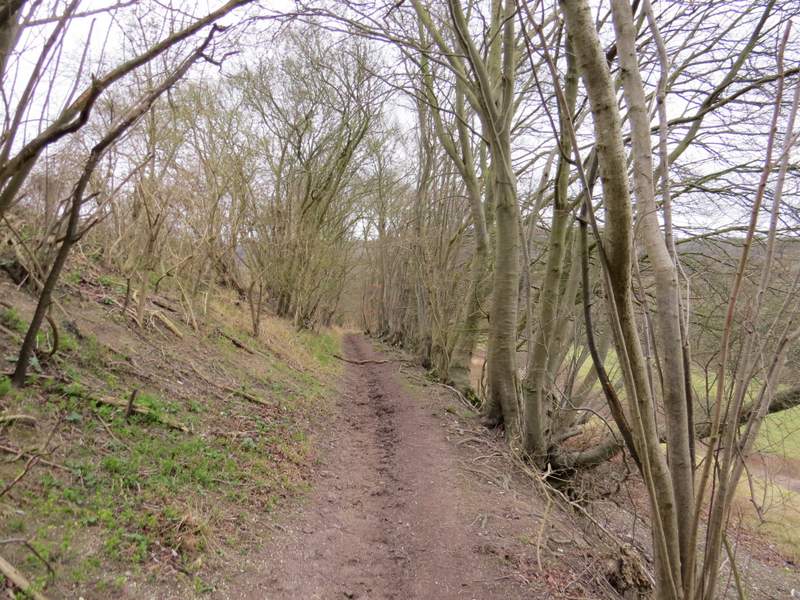
The bridleway from Ibstone
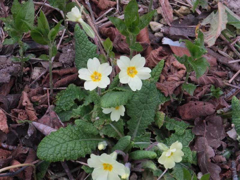
Primroses, beside the bridleway from Ibstone
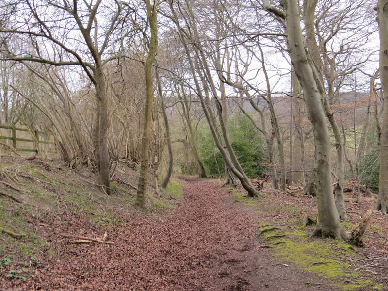
The bridleway from Ibstone (just after the path junction where I thought about turning right)
After a while the bridleway turned right, close now to a pasture on my left, then turned left, still close to the pasture (where I now saw some new lambs with their mothers). Beyond this pasture the bridleway continued through Turville Wood, with Holloway Lane just a short distance to my right. I soon came to a staggered junction, where the bridleway kept left at a fork, only to fork right at a second junction a few yards later. I crossed a farm drive at one point, and continued through the wood for almost half a mile until I reached a lane, where I turned right and very quickly came to a T-junction where the lane met Holloway Lane.
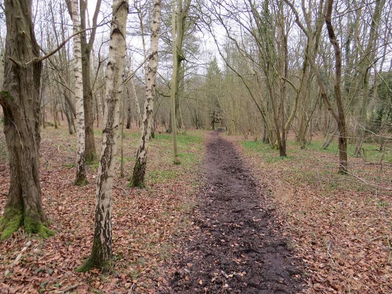
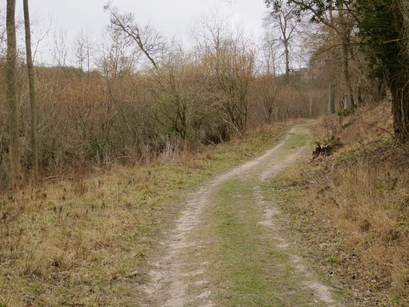
The bridleway from Ibstone
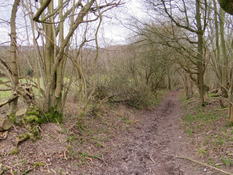
The bridleway from Ibstone, now running parallel to Holloway Lane
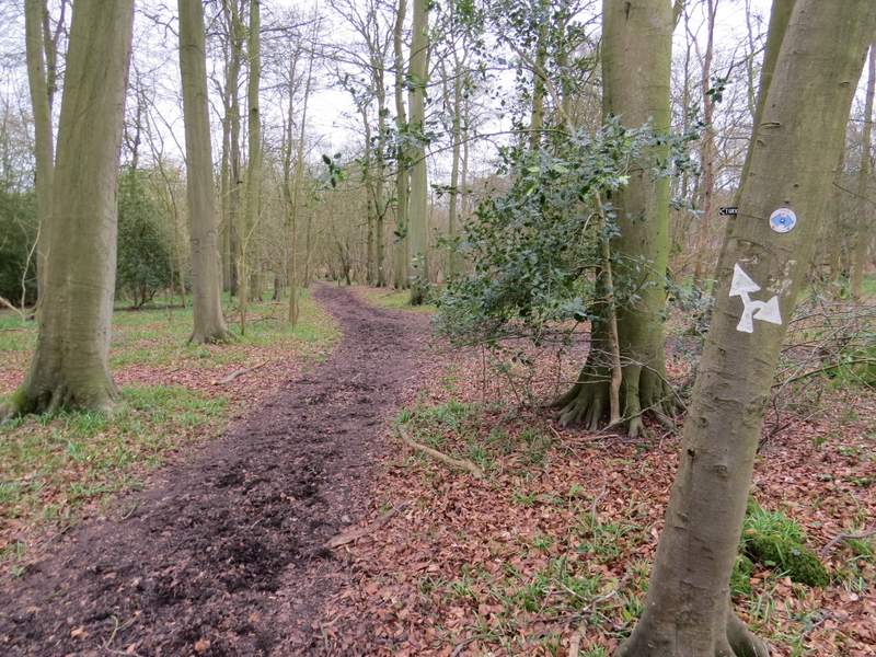
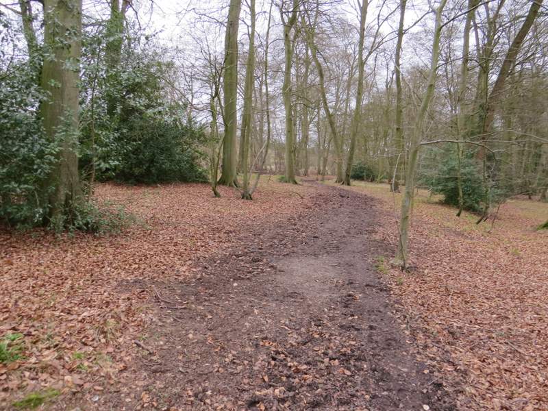
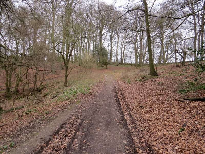
The bridleway continuing through Turville Wood (it keeps left at this junction, then takes the right fork at a junction a few yards further on)
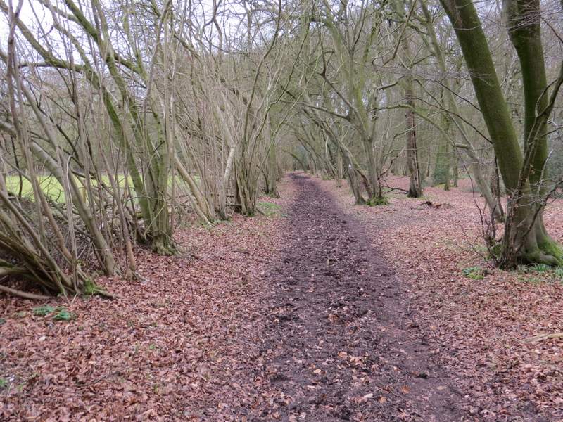
The bridleway through Turville Wood
The bridleway through Turville Wood
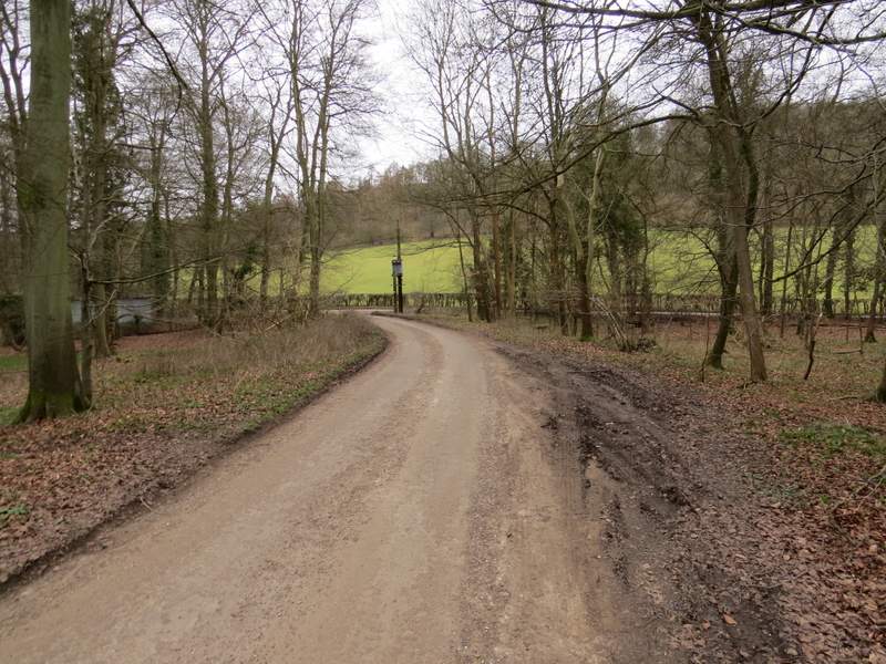
The very short lane walk to the junction with Holloway Lane
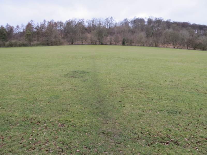
Across the T-junction a footpath went uphill across an empty pasture to reach Churchfield Wood (I was a little surprised to see a sign saying Churchfield Wood, I wrongly thought this was part of the adjoining Idlecombe Wood). From the edge of the wood there were pleasant views along the valley. The path now steepened as it made its way up through the wood. After a while it joined a track, and immediately after another path joined from the right (the end of the alternative I mentioned earlier). I continued along the track through Churchfield Wood, and after some distance it curved left. I ignored a bridleway and a footpath, both on the left, and continued along the track as it exited the wood and soon reached the wall around a grand house called Turville Court.
The path from Holloway Lane to Churchfield Wood
Looking left from the edge of Churchfield Wood towards Cobstone Mill
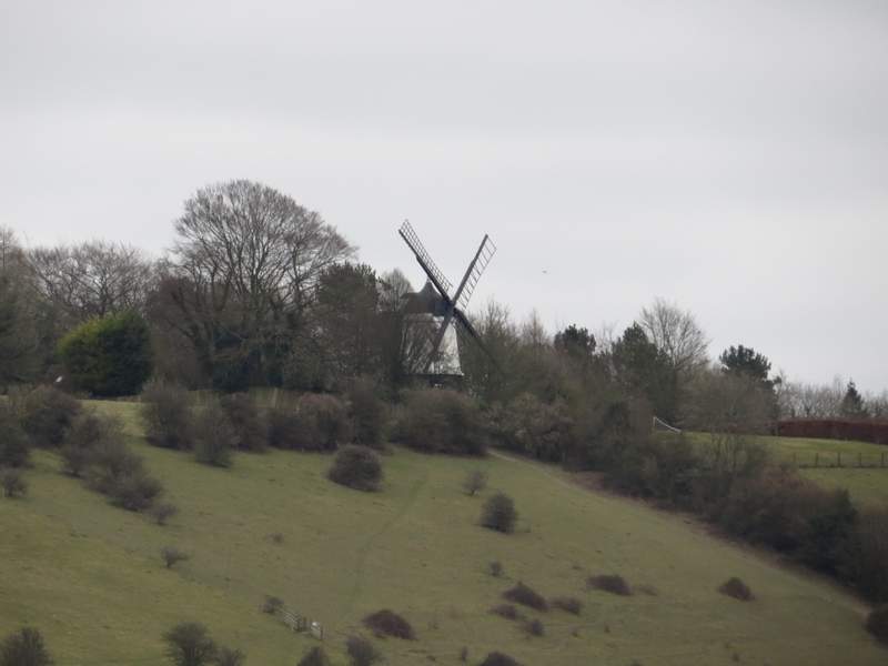
A very much zoomed in shot, just to show I wasn't talking rubbish when I said the previous photo was towards Cobstone Mill!

The path continuing up through Churchfield Wood
The path through Churchfield Wood (this is just after where the alternative route I'd considered came in from the right)
The path continuing through Churchfield Wood, about to curve left towards Turville Court
Approaching Turville Court