Pete's Walks- Ashridge Estate Boundary Trail (page 2 of 6)
If you are considering walking this route yourself, please see my disclaimer. You may also like to see these notes about the maps and GPX files.
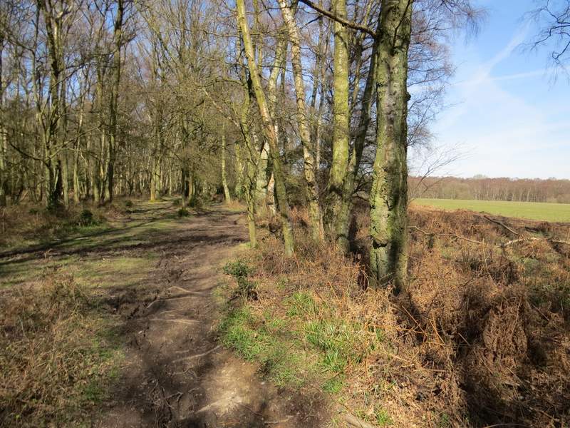
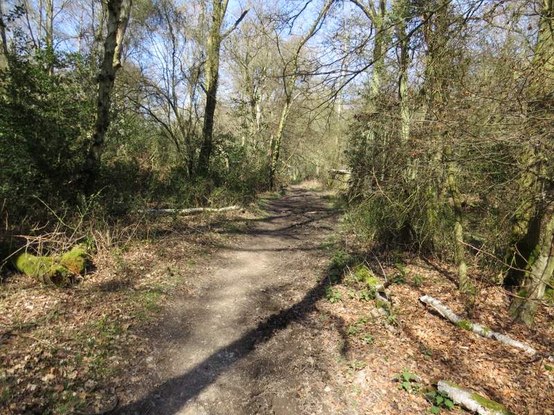
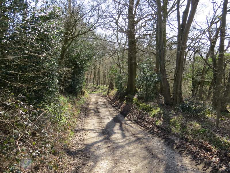
On reaching the minor road through Frithsden, I turned right for a few yards and then took a footpath starting on the other side. This rose steadily uphill through Great Frithsden Copse, keeping right at a fork. It continued between garden fences to reach a private road, and on the other side ran between more garden fences to reach the edge of Berkhamstead Golf Course, where I turned right onto a bridleway that was soon running between trees with a fairway on my left. Most of the paths and bridleways today hadn't been too wet at all, but in the next small bit of woodland between the golf course and a road this bridleway was very muddy indeed, a mixture of water and deep, slippery clay.
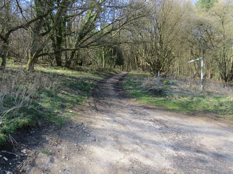
The start of the footpath through Great Frithsden Copse
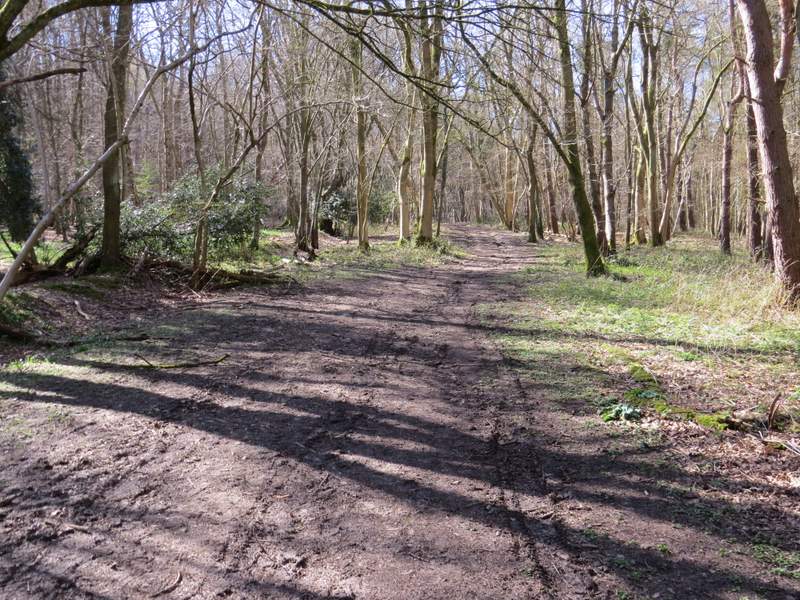
The footpath through Great Frithsden Copse
The footpath through Great Frithsden Copse
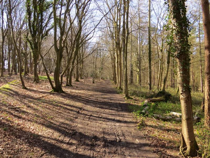
The bridleway alongside part of Berkhamstead Golf Club (the sign at the start of the path through Great Frithsden Copse spelled the name BerkhamPstead - the town's name is actually spelled without either the 'p' or the second 'a', Berkhamsted, and the 'h' and first /only 'a' are silent - it's pronounced Berk'm'sted)
Across the road the bridleway crossed another of the fairways of the golf course, going slightly right, then continued through a belt of trees with fairways either side. It continued on through more trees, bushes and dead bracken beyond the golf course, and soon came to a bridleway crossroads where I went straight on. The bridleway now ran through a broad grassy (and rather muddy) strip with woods either side, to reach an isolated cottage on my left, Brickkiln Cottage. Beyond this, the bridleway continued through a thin strip of wood with a huge open area of grass close by on my right. When this ended the bridleway carried on for a short distance through more woodland to reach a drive, where I turned left to immediately reach Coldharbour Farm (at least that's the name on the OS map, the sign on the gate said Great Coldharbour).
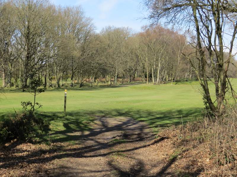
Having crossed a minor road, the bridleway crosses this fairway and continues through the trees ahead
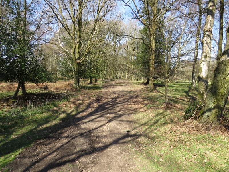
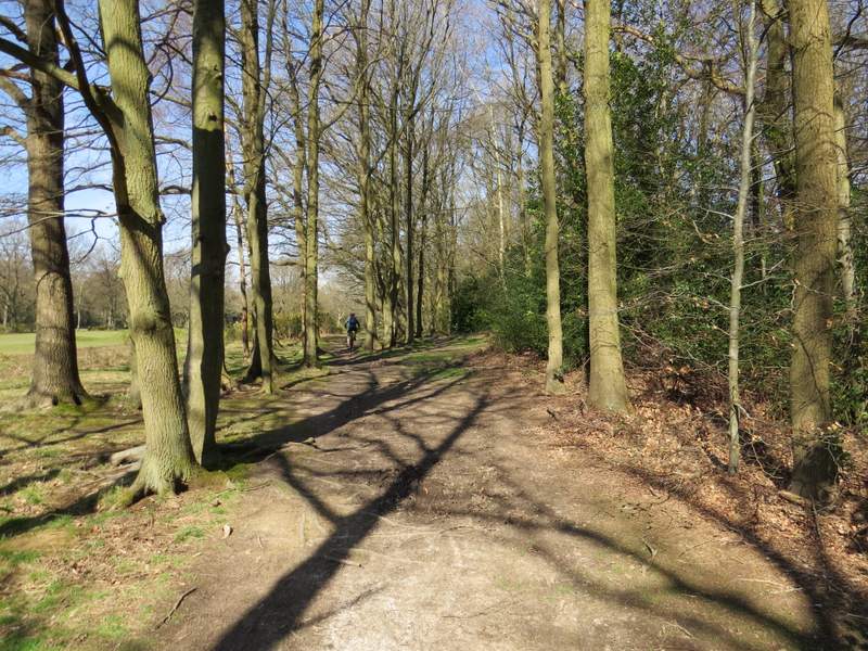
The bridleway continuing between two fairways of the golf course
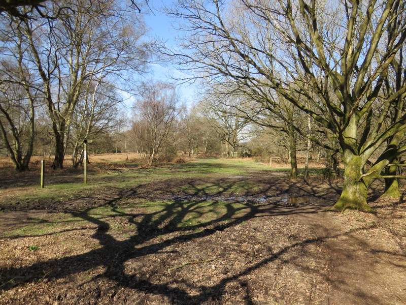
The bridleway continuing from the golf course - this is where another bridleway crosses it
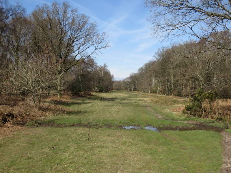
The bridleway continuing towards Brickkiln Cottage
The bridleway continuing from Brickkiln Cottage
The bridleway continuing through the woods just before Coldharbour Farm
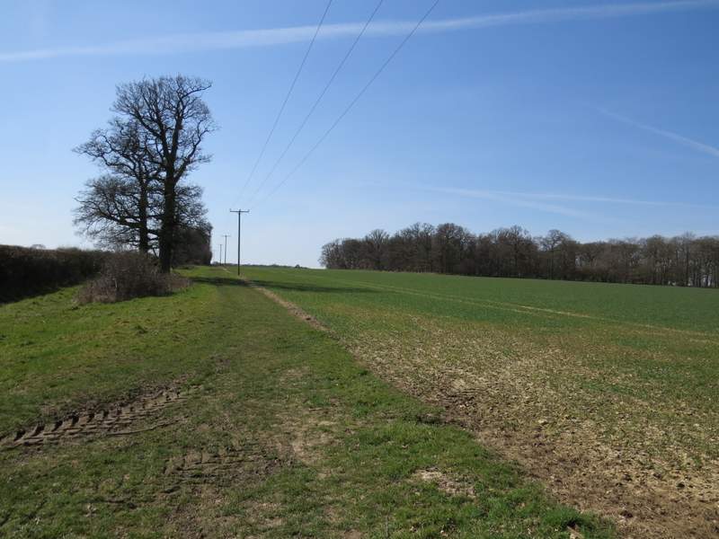
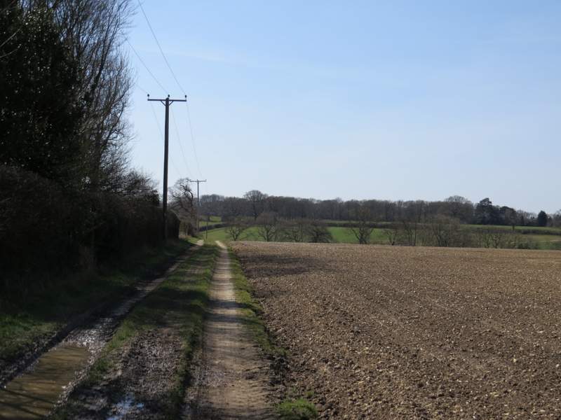
I followed a footpath past the farm, which curved left in a meadow, passing a pond on my left, to reach the diagonally opposite corner. Through a new metal kissing-gate, the path continued for several hundred yards alongside a hedge on my left, with a huge ploughed field on my right. When I eventually reached the far end of this field, the path continued down a track going left. The track soon turned right, then when it turned left I took a footpath going straight on. This ran between a wooden fence on my left and a hedgerow. The path then went slightly left across a large area of short grass (a polo ground, I think) to reach Northchurch Farm.
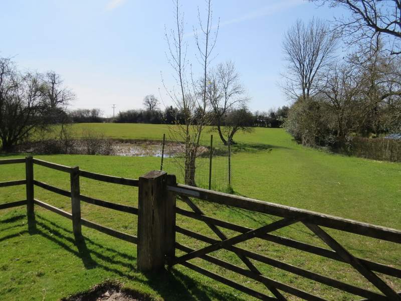
The start of the path from Coldharbour Farm (that's its name on the OS map, but the sign on a gate here says Great Coldharbour - there's a Little Coldharbour Farm a short distance away)
The path from Coldharbour Farm
The path from Coldharbour Farm
The path from Coldharbour Farm
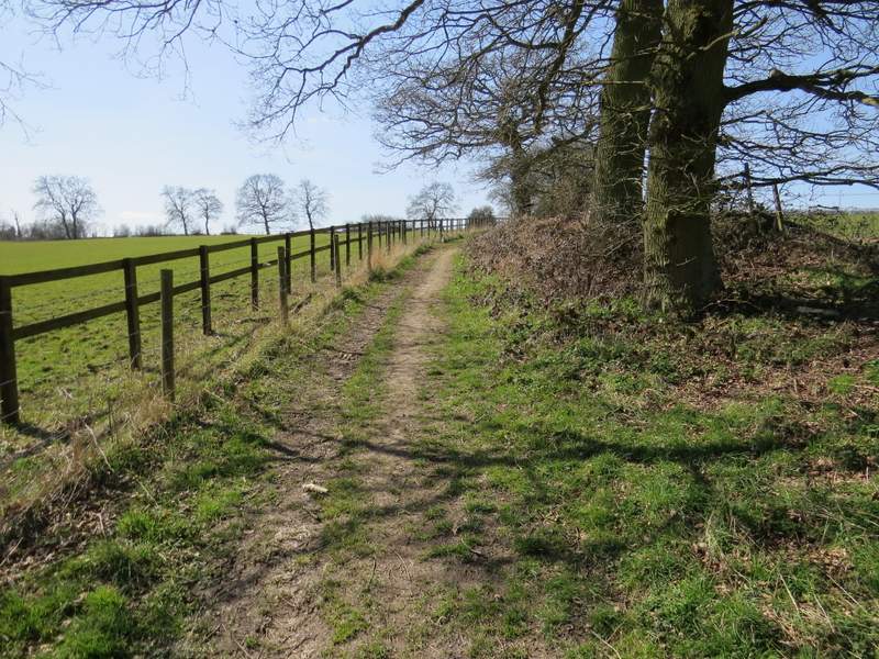
The path from Coldharbour Farm
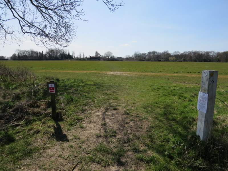
The path from Coldharbour Farm, approaching Northchurch Farm