Pete's Walks- Ashridge Estate Boundary Trail (page 3 of 6)
If you are considering walking this route yourself, please see my disclaimer. You may also like to see these notes about the maps and GPX files.
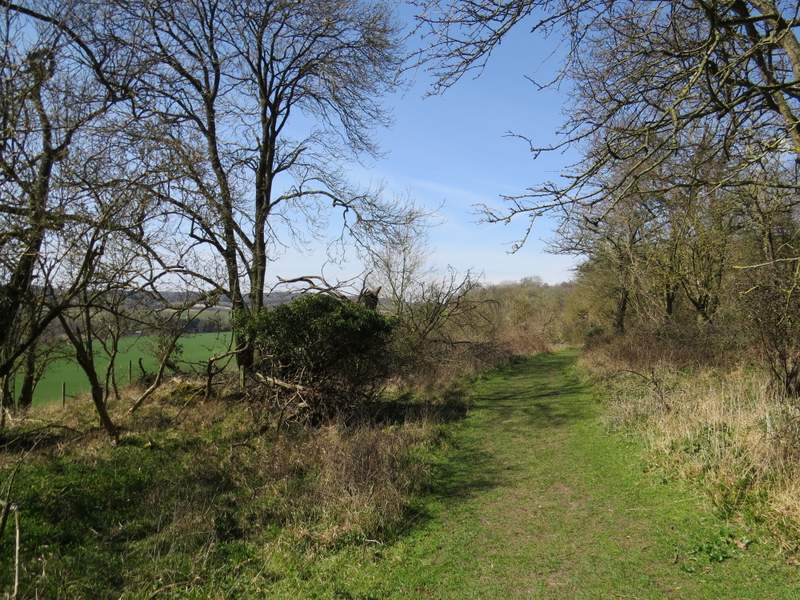
I turned right and followed the drive past the farmyard. Shortly beyond the farmyard gate I took the second of two paths going right (they merge after a short distance anyway), and followed it through another area of trees and bushes to a junction with a bridleway, where I turned half-right and soon reached the Ringshall-Northchurch road. Across the road the bridleway continued, soon reaching a drive where I turned left and headed downhill, with woods either side of me.
The bridleway going half-right just after Northchurch Farm
This is where the bridleway merges with another one, and heads to the Ringshall-Northchurch road
The drive to Gorseside
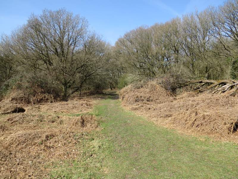
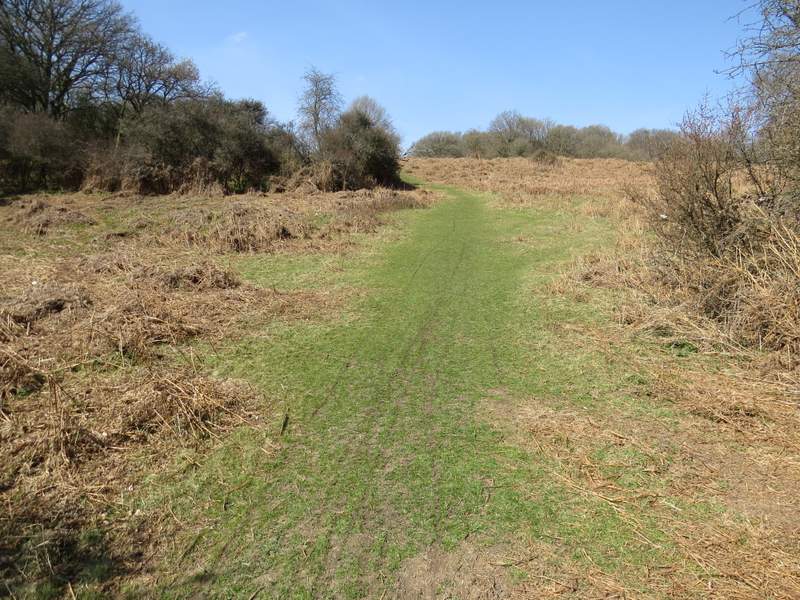
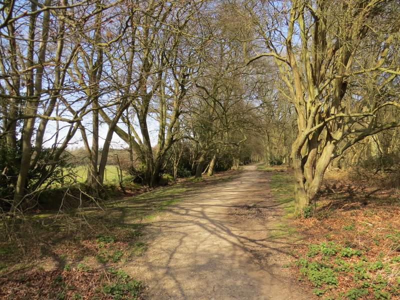
Shortly before reaching the large gates of a property named Gorseside on the OS map, I turned right onto a path running just inside the south-western edge of Northchurch Common, close to fields on my left. At several points there were interesting views along the valley on my left, through which a main railway line, the Grand Union Canal and the A41 all run. The path rose uphill slightly, flattened out for a while then descended slightly into a small valley. Here I turned right, going by memory as there were no Ashridge Estate Boundary Trail waymarks (indeed no waymarks at all pointing right, only one for the footpath going straight on). After a short distance I turned left, on a grassy path going steeply uphill through dead bracken (much steeper that my poor photograph makes it look).
Where I turned right from the drive and followed the footpath along the southwestern edge of Northchurch Common
The footpath along the southwestern edge of Northchurch Common
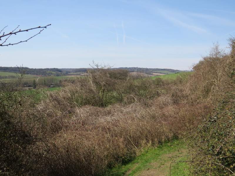
The footpath along the southwestern edge of Northchurch Common
The footpath along the southwestern edge of Northchurch Common
The short path after I turned right
The path then goes left - my camera is lying yet again, this looks almost flat but is actually very steep!
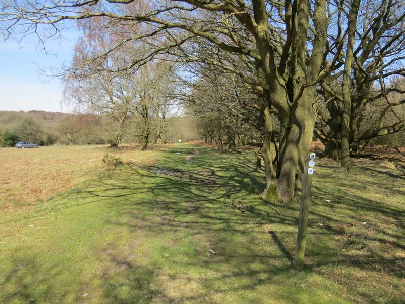
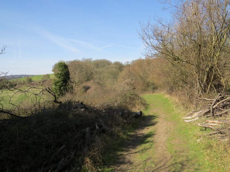
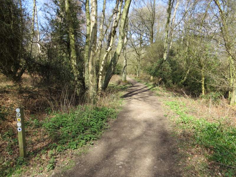
At the top of the hill I turned right at a path T-junction (if I'd gone straight on in the small valley, I'd have come out here anyway) - again there was no waymark for the Ashridge Estate Boundary Trail. I followed the grassy path through more dead bracken and trees, until I reached a corner of the large grassy section of Northchurch Common. Here there was a waymark, pointing the way slightly left through a bit more woodland, only for the path to return to the grassy area after a hundred yards or so. I followed the left edge of the grassy area for two or three hundred yards, then forked half-left by a post with waymarks.
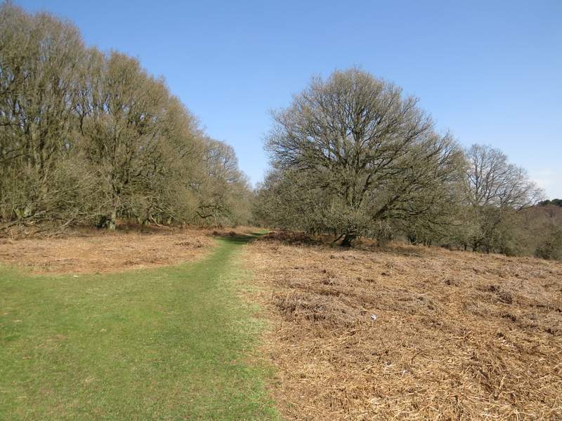
The path after turning right at the top of the hill
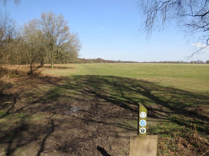
The bridleway entering the huge grassy part of Northchurch Common
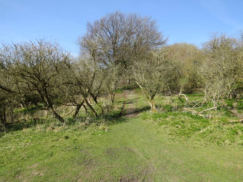
Where the bridleway goes half-left to leave the grassy part of Northchurch Common
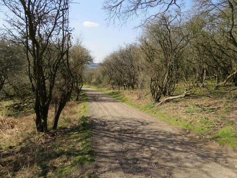
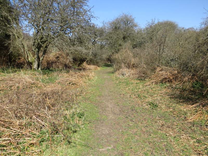
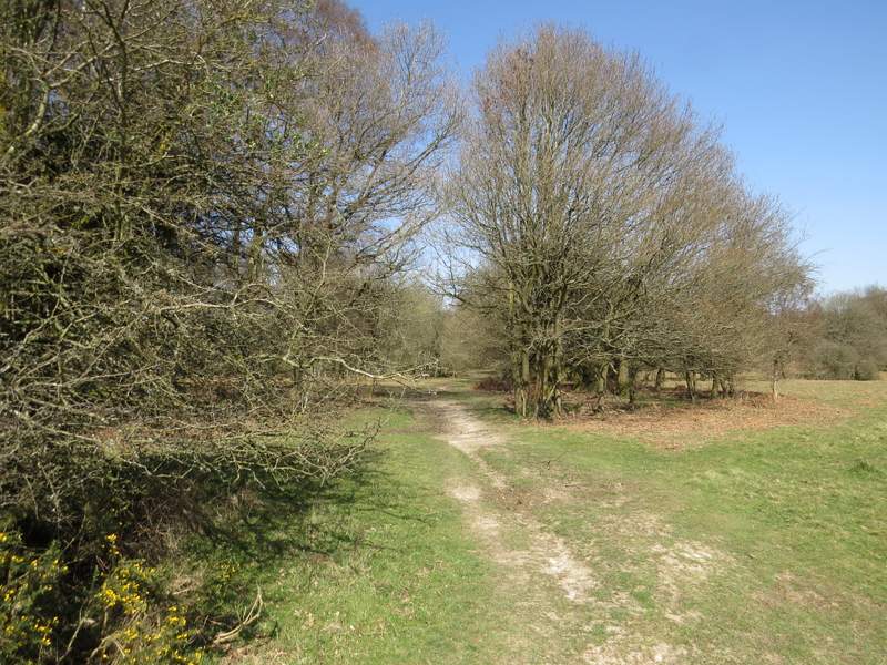
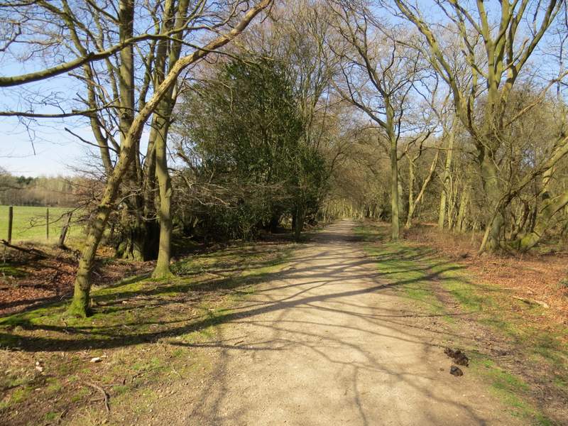
Back in the trees once more, I kept left at a fork in the path to reach a waymark post at a junction just a few more yards farther on. At this junction I went right (which was almost straight on), along a bridleway that had clearly been resurfaced within the last year or two (many of the bridleways at Ashridge have been). I had to follow this bridleway for about half a mile, but I stopped after a while to eat my lunch. For some distance the bridleway ran close to a field on the left, but then had woodland either side again. I kept straight on at a couple of junctions with footpaths, and then came to the minor road that goes past Tom's Hill to Aldbury, away to my left.

Further along the bridleway (clearly resurfaced within the last few years)
Further along the bridleway
Further along the bridleway
Further along the bridleway