Pete's Walks- Stoke Row, Woodhouse Farm, Checkendon (page 1 of 6)
If you are considering walking this route yourself, please see my disclaimer. You may also like to see these notes about the maps and GPX files.
Google map of the walkDownload GPX file of the walk
I did this circular walk of about 14.3 miles on Saturday, 23rd April, 2016. It was a new route (that, as usual, I just made up by studying the OS map), but only about a third of it was on paths I'd not used on previous walks. I struggled to come up with a title for it, but eventually settled on "Stoke Row, Woodhouse Farm, Checkendon" - the walk started and finished at Stoke Row, Woodhouse Farm (in the parish of Crowmarsh, though some distance from the village of Crowmarsh Gifford) was the most northerly point of the route and the southern part of the walk was close to Checkendon.
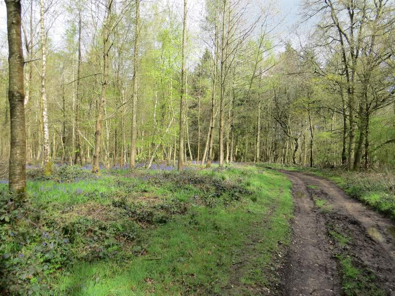
I parked along the road through Stoke Row, close to the Maharajah's Well (there is some information about its interesting history here) and opposite to the Village Hall (Grid Reference SU 679841). I started walking at 10am, taking the footpath that starts close to the Maharajah's Well and following it the short distance to Cox's Lane, where I turned left. After passing Stokerow Farm, the lane deteriorated into a very muddy track (I remembered it being very muddy once before when I used it) - there had been quite heavy rain overnight, and sadly mud was going to be a feature of this walk. At least there were some colourful Spring flowers along the track - Bluebells, Greater Stitchwort and Wood Anemones.
The path from near the Maharajah's Well to Cox's Lane
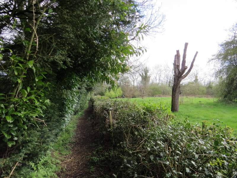
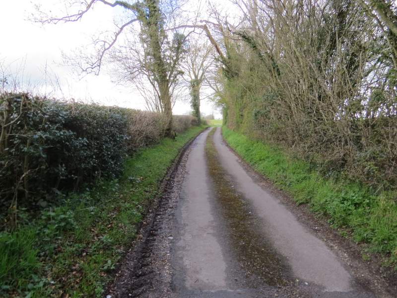
Cox's Lane
Cox's Lane, passing Stokerow Farm
Cox's Lane
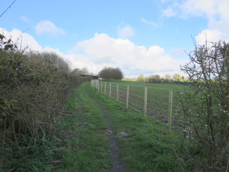
About half a mile after the farm I turned right onto a footpath I'd not used before. This ran between a fence and a hedge on my right for a short distance, then continued alongside the fence through a large empty pasture. I then turned left along a 'restricted byway', which I'd walked a couple of times previously. I soon passed Oakingham House on my left - as on my previous walks here I assumed it was quite a historic house, dating back to around 1680-1700 perhaps, but it's actually a modern house (see here). At some point the byway became Whitcalls Lane (I passed Whitcalls Farm somewhere along here). I spotted my first Garlic Mustard of the year along here (when I got back to my car and was taking my boots off, I saw some right in front of me - I don't know how I could have missed it when I was putting them on).
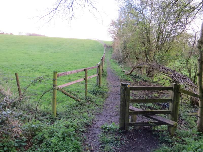
The start of the path going right from Cox's Lane
The Restricted Byway, just before Oakingham House (which fooled me, I assumed it was historic, my guess was 'Queen Mary' period, but it's not - see here)
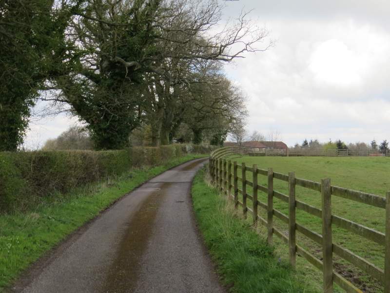
The lane from Oakingham House ...
... which at some point becomes Whitcalls Lane
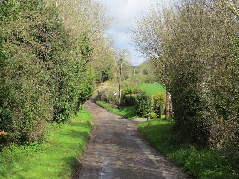
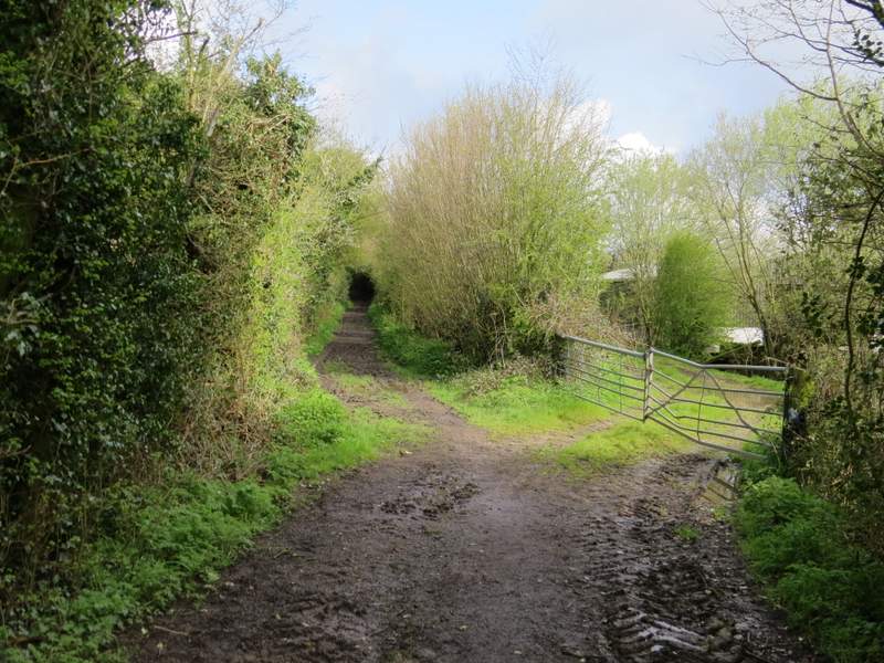
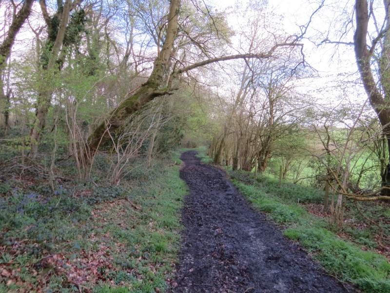
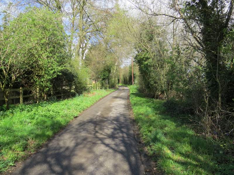
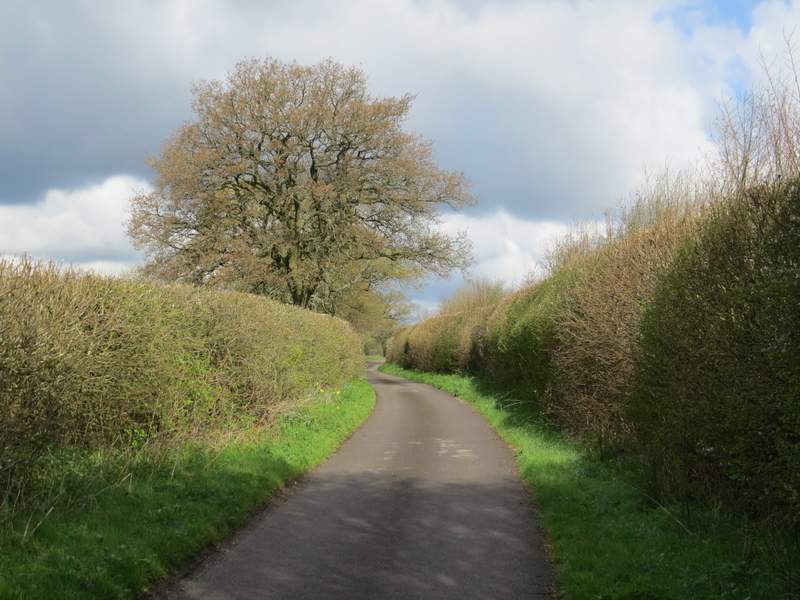
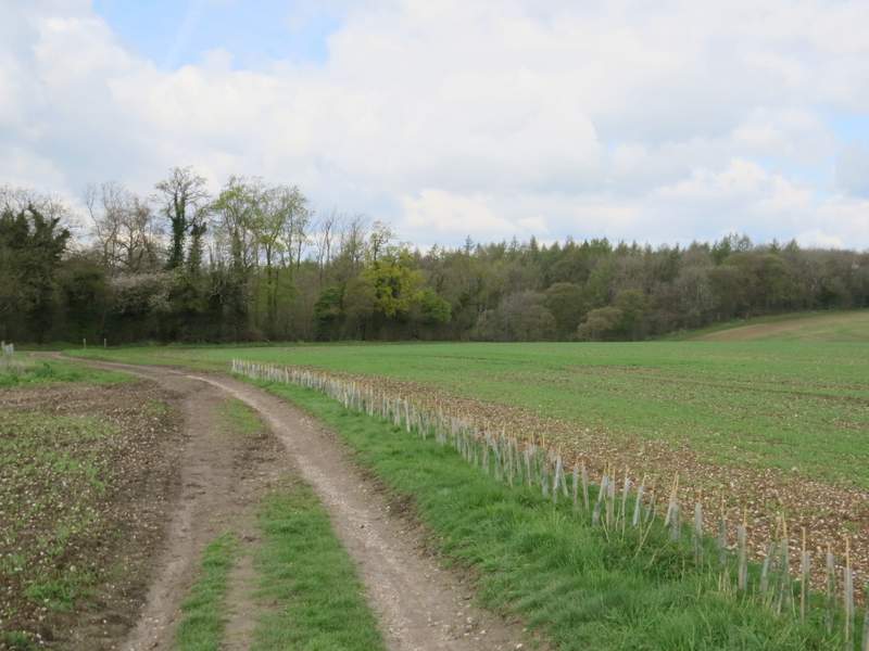
At the end of the lane I crossed a minor road and continued down another lane opposite (not named on the map and there was no sign). After about half a mile, the OS map shows it changes from a lane to another 'restricted byway'. A little further on I reached Upper House Farm (just before the farm there was a distant view to the Oxfordshire Plain). Not long after, the byway entered Mongewell Woods. It was then a pleasant stretch of about three-quarters of a mile through the wood - the byway was very muddy in places, but nowhere near as bad as Cox's Lane had been.
The lane to Mongewell Woods
Approaching Upper House Farm - the 'lane' is now a 'restricted byway' according to the OS map
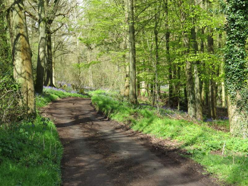
Mongewell Woods
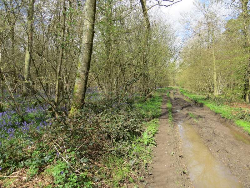
Mongewell Woods
Mongewell Woods
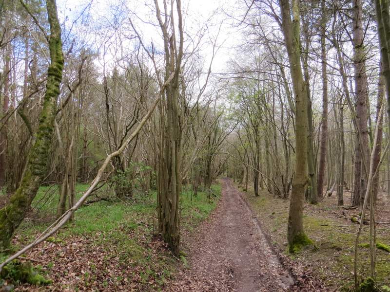
Mongewell Woods
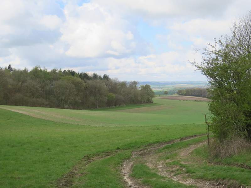
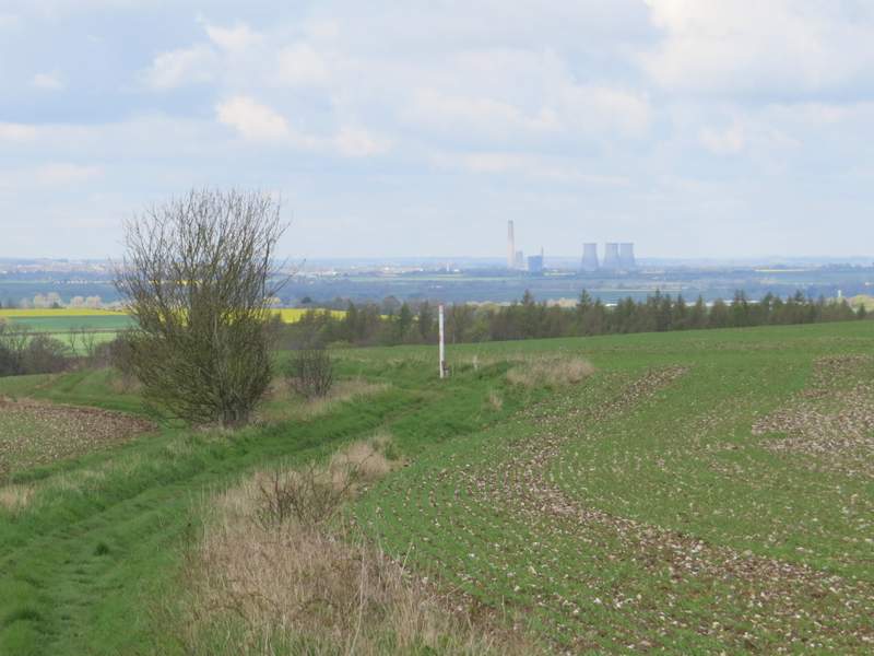
Beyond the wood, the byway followed a headland between large arable fields, with an expansive view ahead over the Oxfordshire Plain and further left to the Berkshire Downs on the other side of the River Thames. On reaching a wood, the byway turned right along its edge, soon turning left to reach Woodhouse Farm.
The byway just after exiting Mongewell Woods (the hills in the distance are part of the Berkshire Downs, the other side of the Thames)
Looking ahead along the byway and out over the Oxfordshire Plain
The by way approaching Woodhouse Farm, which is in the small valley where it goes through the woods
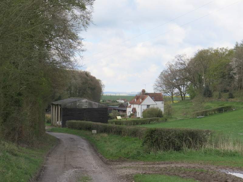
Woodhouse Farm