Pete's Walks- Stoke Row, Woodhouse Farm, Checkendon (page 2 of 6)
If you are considering walking this route yourself, please see my disclaimer. You may also like to see these notes about the maps and GPX files.
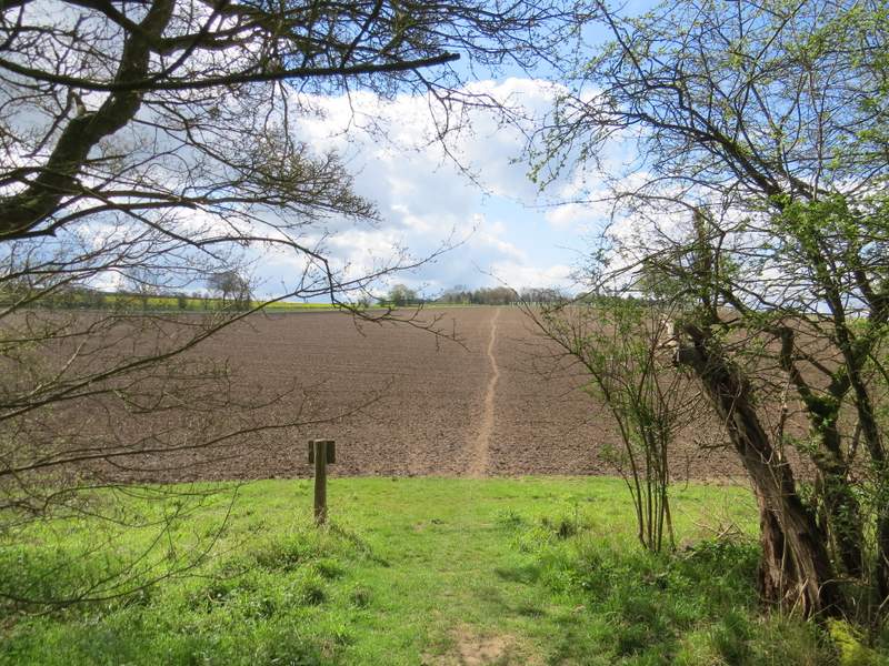
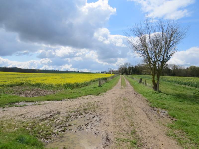
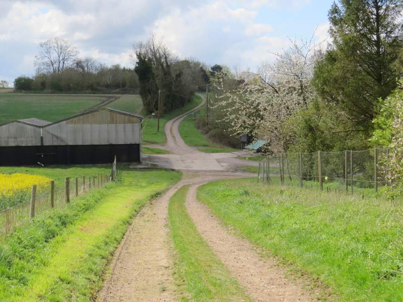
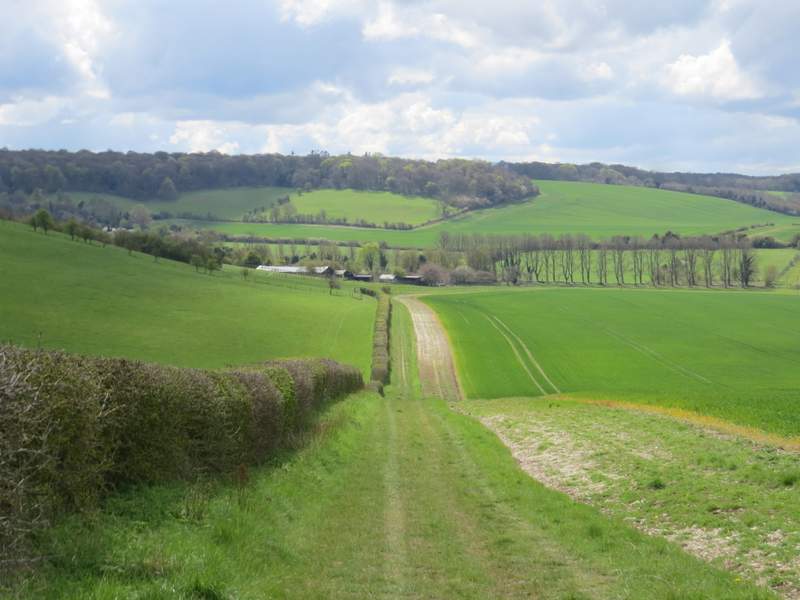
Opposite the farmhouse, I turned left onto a footpath that led me through the wood. On its far side, the path continued across a ploughed field, and it then went down a farm track, where there were again good views towards the Berkshire Downs. Further on the track passed Poors Farm, beyond which it became Poors Lane and soon led me into the hamlet of Hailey.
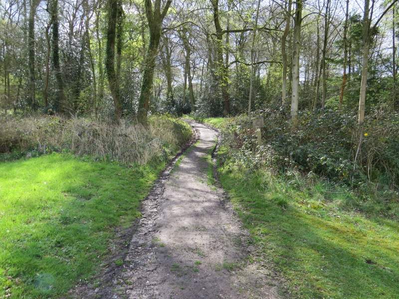
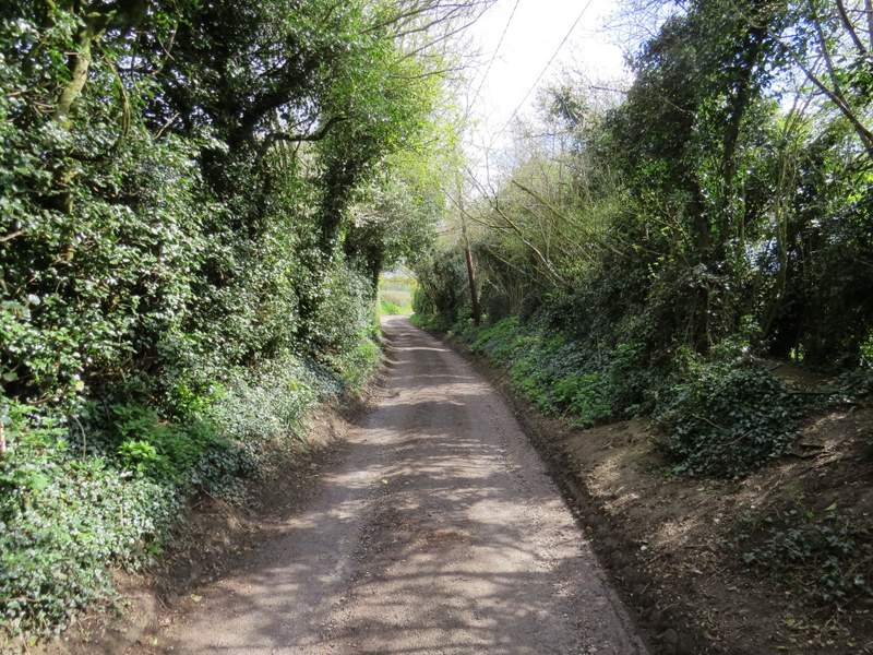
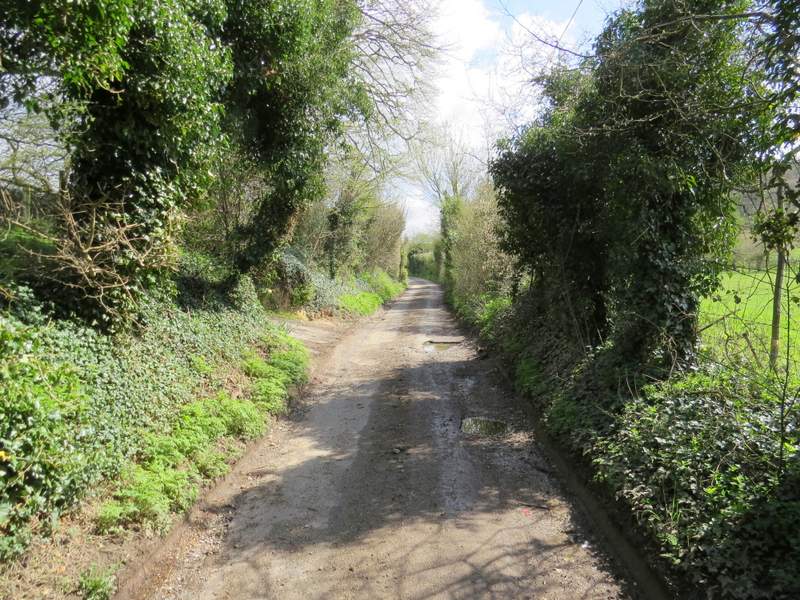
The start of the path from Woodhouse Farm to Hailey
The path from Woodhouse Farm to Hailey
The path from Woodhouse Farm to Hailey
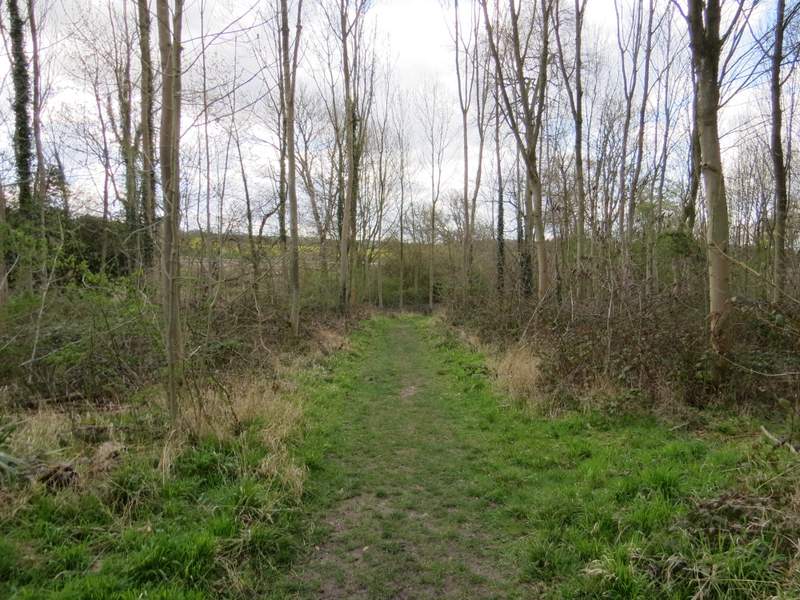
The path from Woodhouse Farm to Hailey
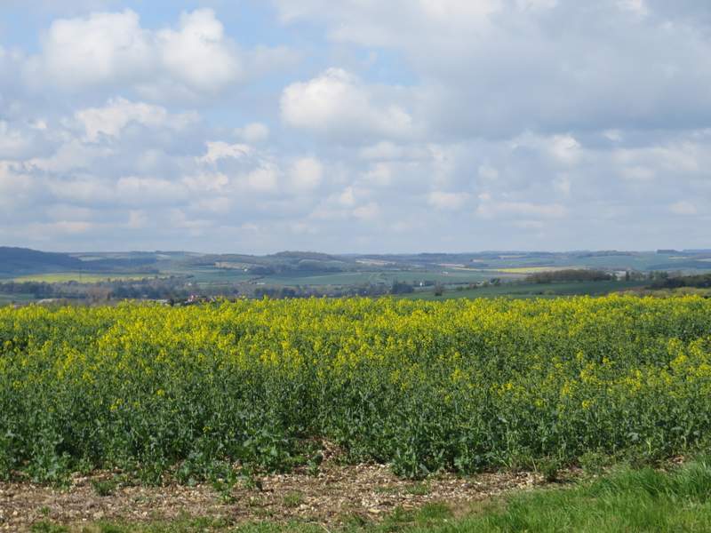
Looking right, towards the Berkshire Downs
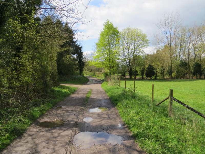
The path from Woodhouse Farm to Hailey, passing Poors Farm
Approaching Hailey
I turned left and followed the lane through the hamlet, soon passing the King William pub on my left. After another quarter of a mile or so, I turned right along a bridleway, leading steadily downhill beside a hedge on my right and with a nice view ahead over Well Place to an attractive line of hills. Towards the end of the bridleway I met two ladies riding horses, who I would bump into again later on. At the end of the bridleway I turned left along the lane through Well Place.
The lane through Hailey (the King William pub here had a sign outside saying Walkers Welcome)
The lane through Hailey
The bridleway from Hailey to Well Place
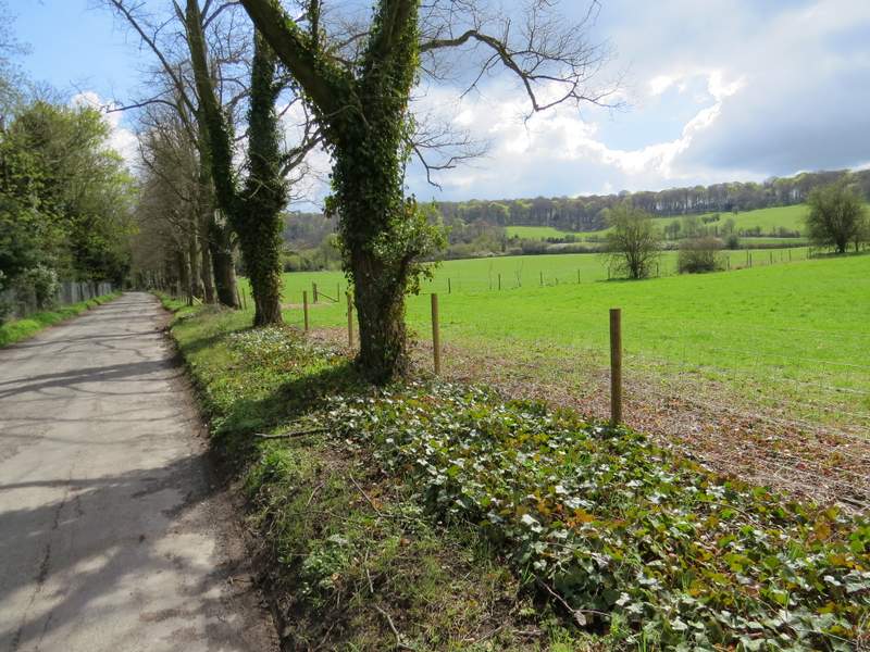
The lane through Well Place
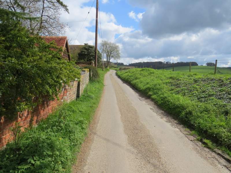
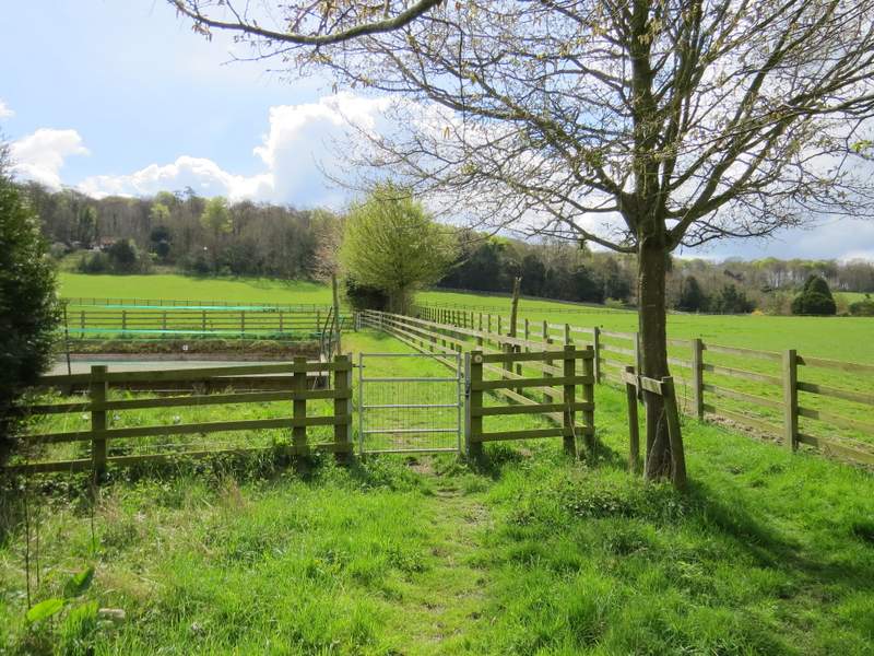
At a lane junction, I took Urquart Lane going straight on. After about three hundred yards I turned right onto a footpath that went past a stables and then continued uphill through an empty paddock or meadow.
[RANT MODE ON]:
There was an absolute monstrosity of a large modern property, all white and glass, dominating a hillside to my left, goodness only knows how it ever got planning permission - having just written that, I've just searched the web for the name given on the map, 'Handsmooth', and it belongs to Rowan Atkinson! I'm sorry, Mr Bean, but it's a hideous eyesore and totally out of character with everything around it. There's an article about it here from the Daily Mail - it's referred to as a 'Space-age petrol station', from a distance it reminded me of a 1960's swimming pool complex. Personally I don't like most modern architecture, but I accept that some people like it, it's just a matter of personal taste - but surely any building, whatever it's style, should suit it's surroundings, not stick out like a sore thumb. This building would look fine in Southern California or parts of Spain, for instance, but in a prominent position in the Chilterns it simply looks completely wrong. The planners who finally gave him permission (it took five years to get permission!) should be utterly ashamed of themselves. I freely admit I don't know much about architecture, but I do know the Chilterns pretty well and I have never seen any building in the region that looks so utterly out of place.
[RANT MODE OFF]
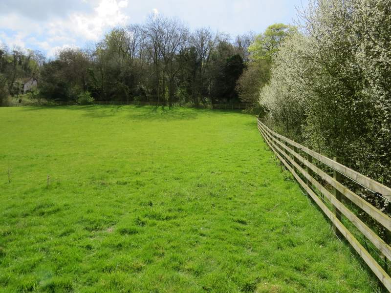
Beyond the paddock I entered a small area of trees, where the path turned right along the top of steep bank beside an old 'sunken lane'.
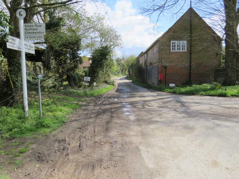
I went straight on at this junction in Well Place, into Urquart Lane
Urquart Lane
The path going right from Urquart Lane
The path going right from Urquart Lane
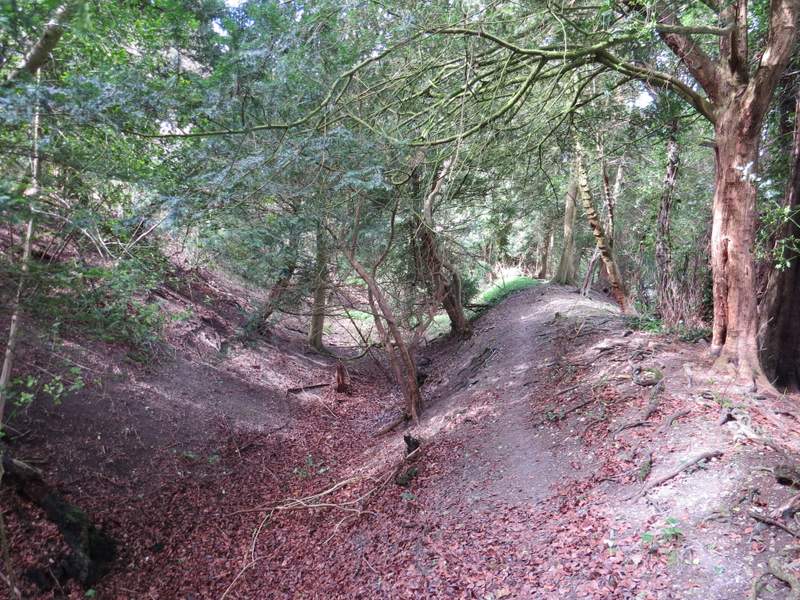
The path going right from Urquart Lane