Pete's Walks- Maidensgrove, Ibstone, Middle Assendon (page 3 of 6)
If you are considering walking this route yourself, please see my disclaimer. You may also like to see these notes about the maps and GPX files.
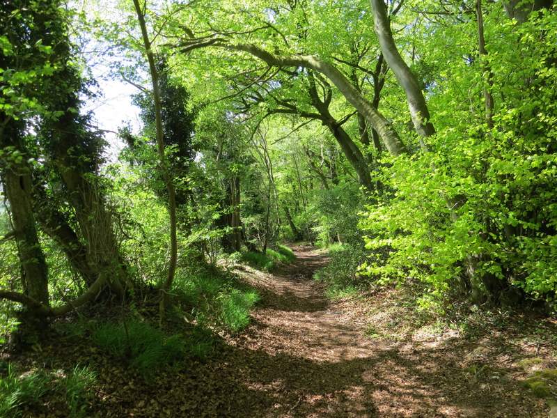
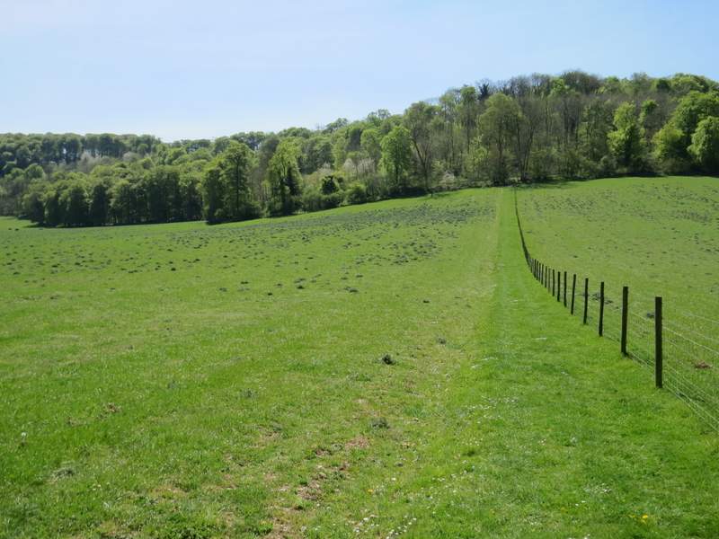
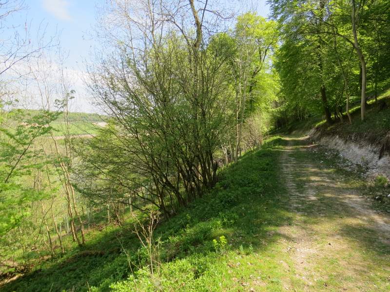
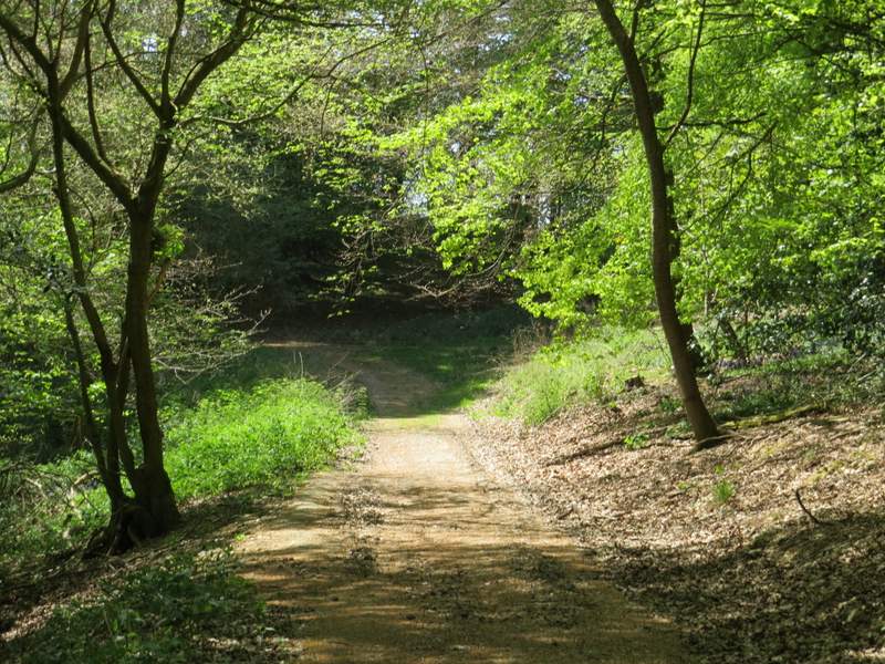
I turned right and followed a path along the edge of the common. When I came to a small tree on its own in a grassy part of the common, I went half-left and soon reached a drive (I spotted a Partridge here, and remembered seeing one here on the walk I did six weeks ago). Across the drive, I continued along the right edge of the common until I reached a lane, where I turned right.
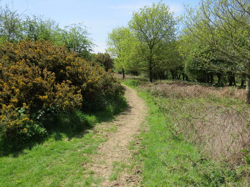
Near the start of the path along the edge of Ibstone Common
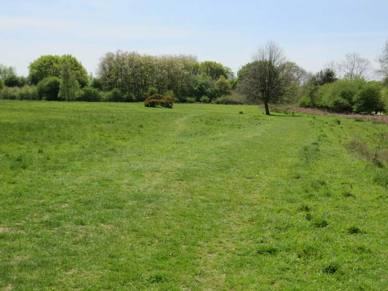
The path along the edge of Ibstone Common - I went half-left by the small tree on its own
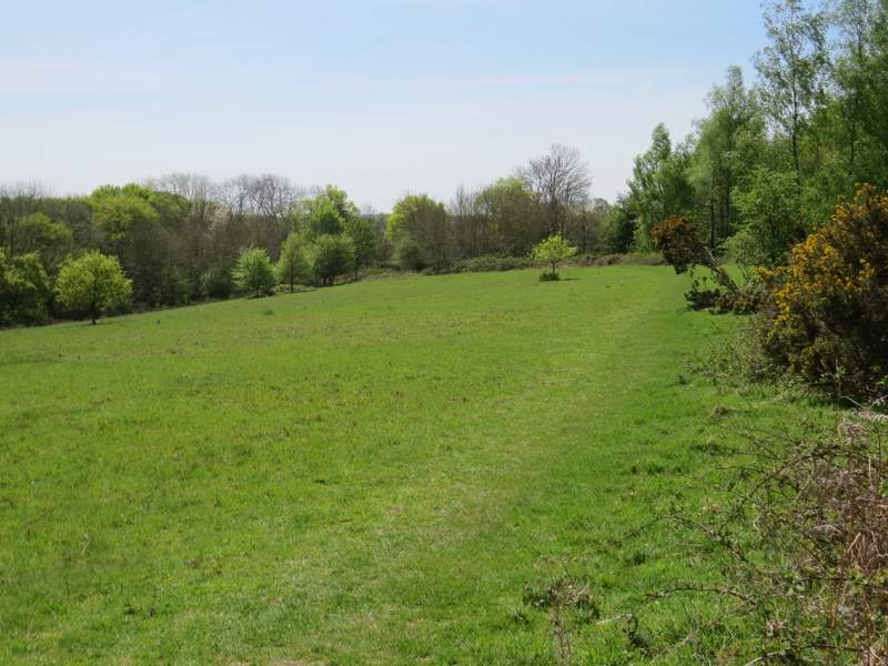
The path along the edge of Ibstone Common, after I crossed the drive
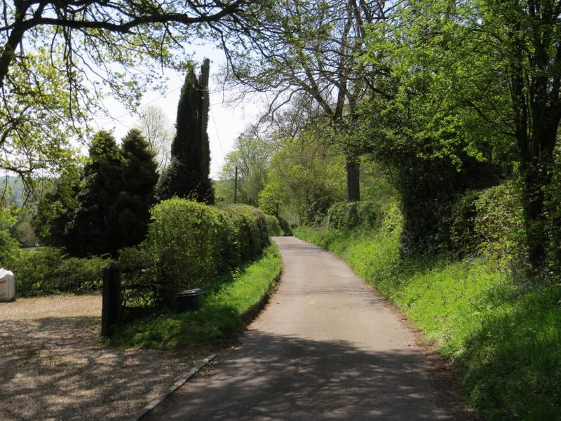
The lane that passes Hellcorner Farm, Ibstone
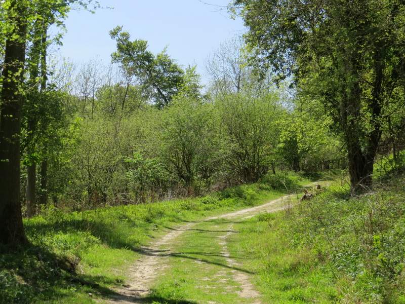
I followed the lane all the way to its end, where a bridleway continued, heading downhill with an attractive line of beech trees on the right. After some distance the bridleway started turning left, and I reached a junction where a footpath went right. This is where I took the first diversion from the route I used six weeks ago, by taking the footpath instead of staying on the bridleway. The path went down a scrub covered slope (where I saw my first Dingy Skipper butterfly of the year) and then crossed a sheep pasture to reach a wood. It was just a short distance through the wood to reach one of the surfaced drives through the Wormsley Estate, where I turned left and followed the drive to its end, where it met Holloway Lane.
The bridleway that continues from the lane
The bridleway that continues from the lane
The path going right from the bridleway
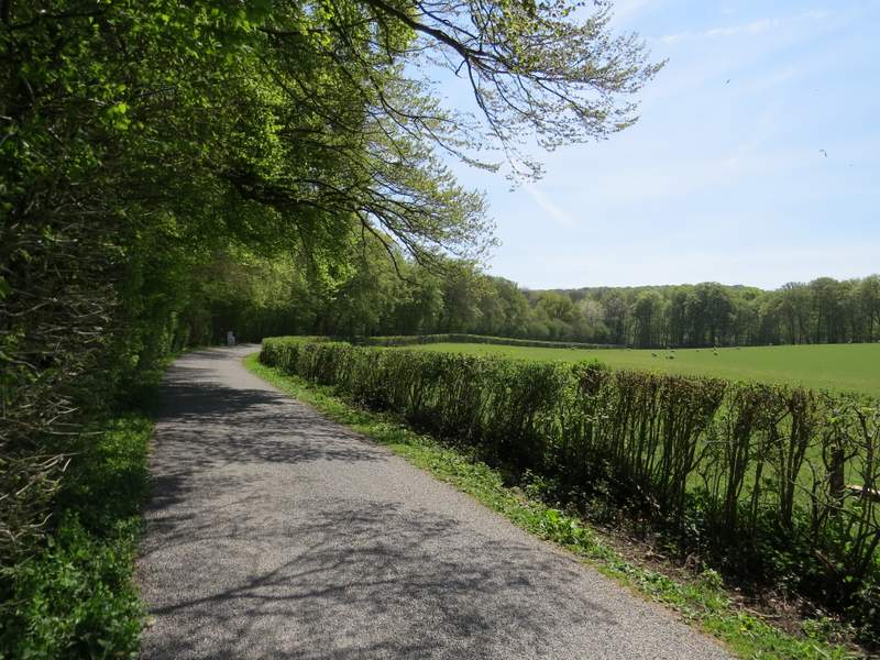
The drive through the Wormsley estate
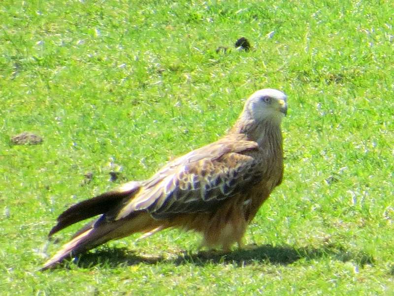
A slightly-out-of-focus Red Kite, in the field to the right of the drive
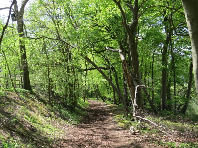
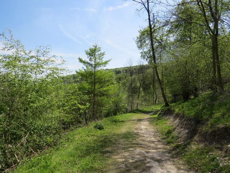
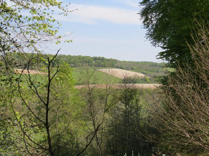
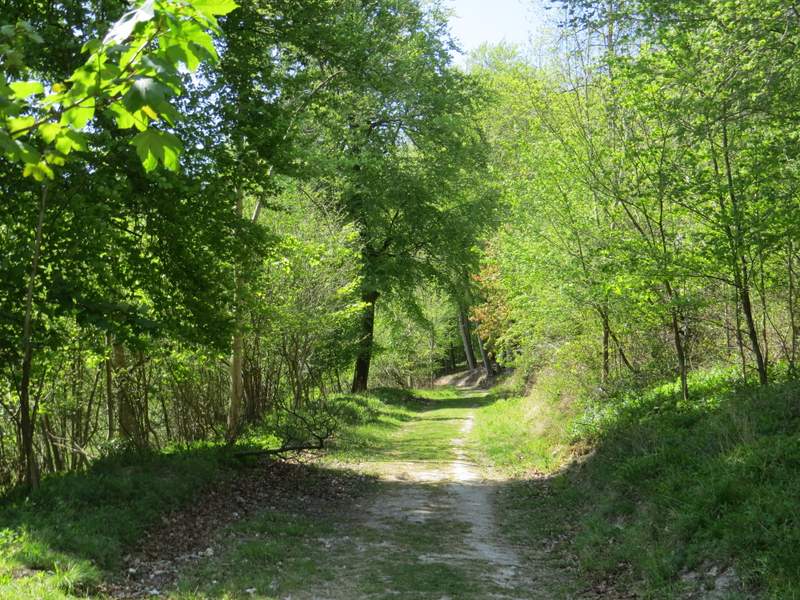
I crossed the lane and took a footpath on the other side, which followed a fence on my right uphill to reach Idlecombe Wood. The path continued uphill a short distance through the wood on 'steps' to reach a path T-junction, where I turned left. I was now on one of my favourite paths in the Chilterns (the reason why I varied from the route I used six weeks ago), which ran for about half a mile through the wood, staying at roughly the same contour level with very little up or down. Apart from the beauty of the wood itself, what I like about this path are the occasional views to the left, out from the trees and over the attractive valley that leads to Turville. When I reached a track (and path) junction I turned right (the route I used last time came in from the left here), and continued through what was now Churchfield Wood, After a while the track curved left - I ignored a bridleway and a path on the left, continuing along the track as it left the wood and a few yards later reached the boundary of a large house called Turville Court.
The path from Holloway Lane to Idlecombe Wood
The path contouring through Idlecombe Wood
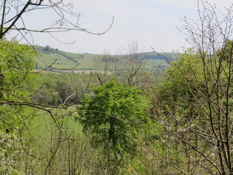
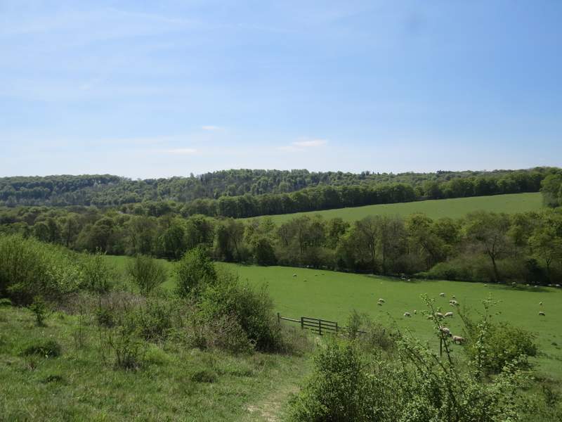
Looking across the valley from the contouring path - Cobstone Mill is almost hidden by the trees on the skyline on the left
The path contouring through Idlecombe Wood
Another view left
The bridleway, now in Churchfield Wood
The bridleway, now in Churchfield Wood
The bridleway, now in Churchfield Wood, about to turn left towards Turville Court