Pete's Walks- Maidensgrove, Ibstone, Middle Assendon (page 2 of 6)
If you are considering walking this route yourself, please see my disclaimer. You may also like to see these notes about the maps and GPX files.
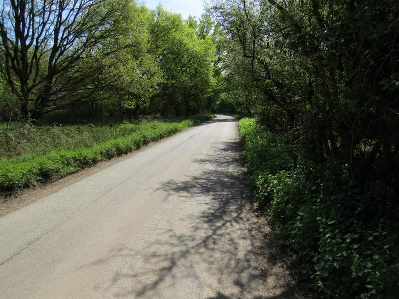
On reaching the edge of Fire Wood, the bridleway continued along the bottom of a shallow valley, with arable fields either side. When a hedge and fence came down from the right I turned right alongside it, then turned half-right between wooden fences to pass between a couple of properties. I then went straight on over part of an 'open access' area to reach the road that runs through Northend (so named because it is in the north end of the parish of Turville - I'd pass through Southend later in the walk). I turned right and walked along the road for about a third of a mile (alternatively I could have continued straight on across the road instead, still along the route of the Chiltern Way, but I would have missed out on a couple of fine views if I'd gone that way).
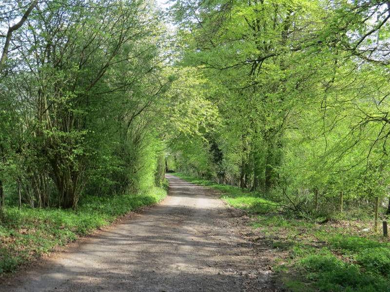
The bridleway continuing from Fire Wood
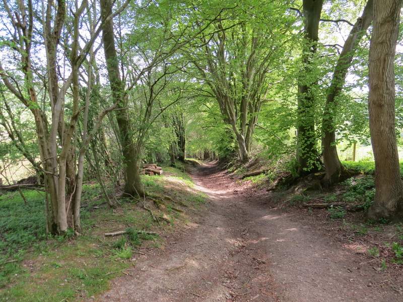
The footpath to Northend (it continues between the wooden fences going left from the centre of the photo)
The road through Northend
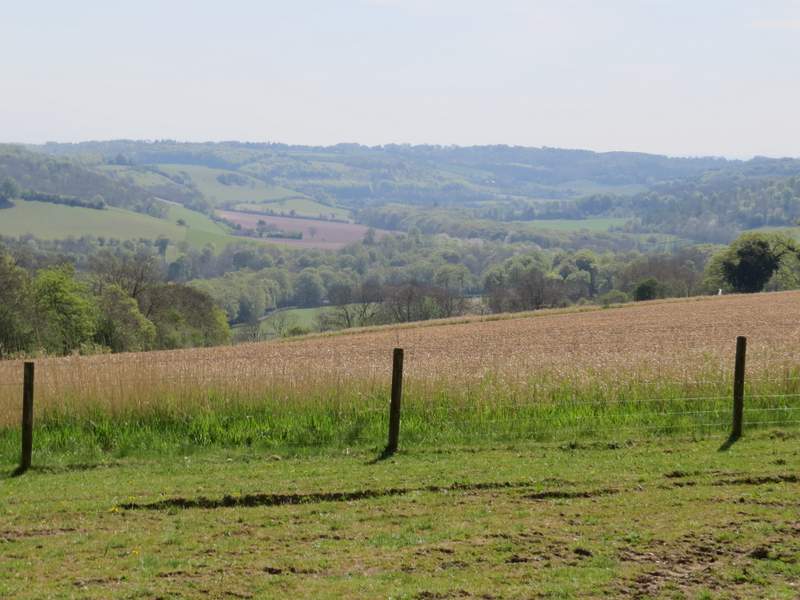
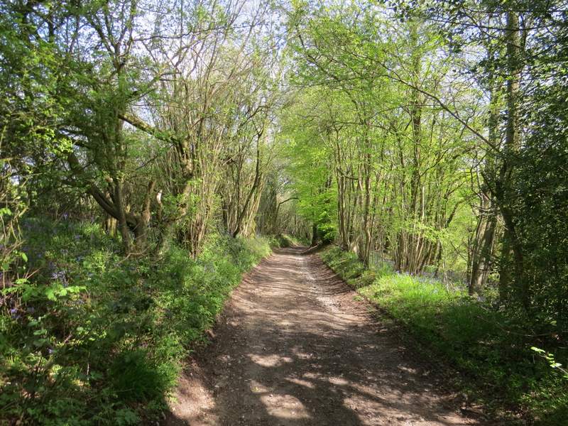
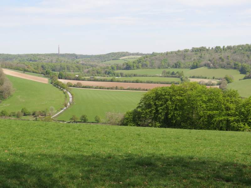
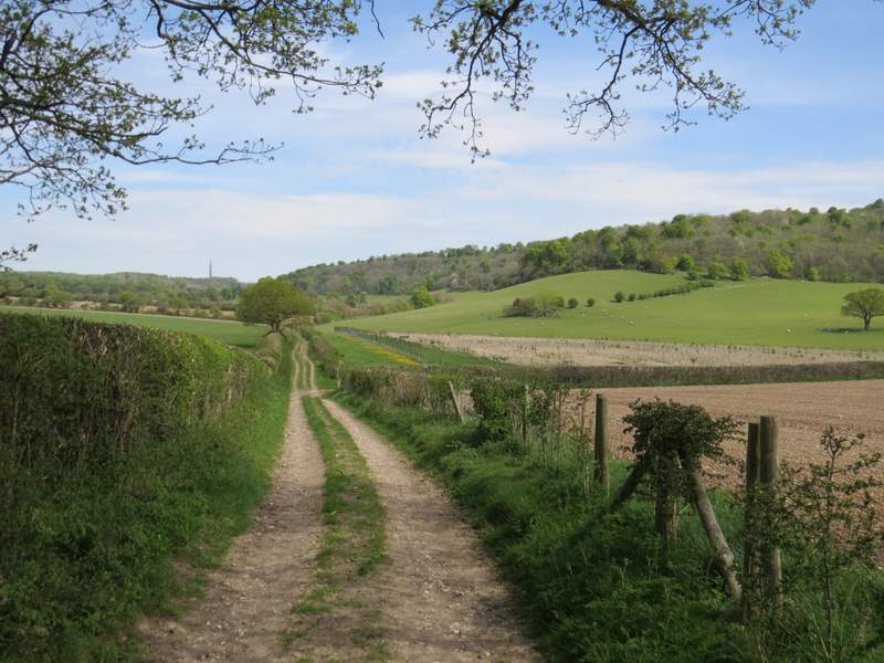
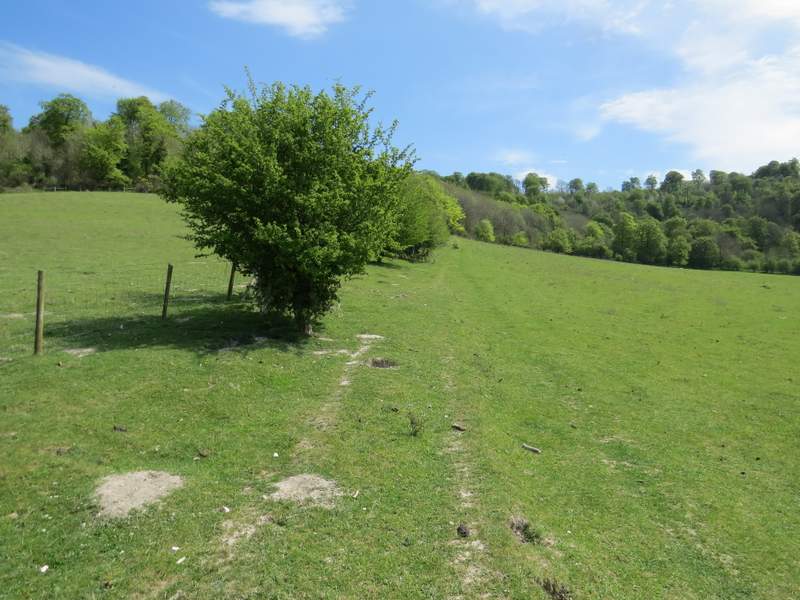
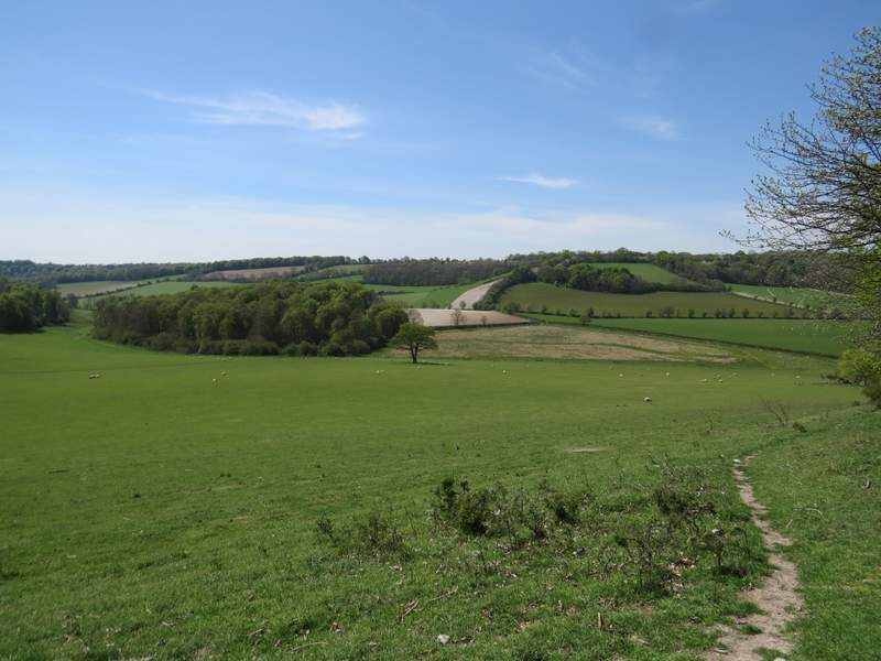
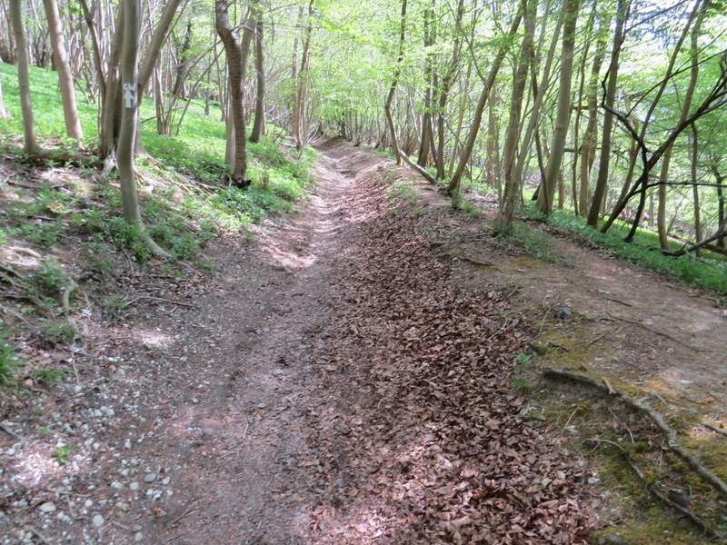
At a junction, where the road went right, I went straight on for a few yards along Holloway Lane, then turned left onto a bridleway. This soon passed Northend Farm on my left, and then turned right. After a hundred yards or so, the bridleway turned left - looking right from a gateway at this corner was the first of the two fine views I just mentioned, looking along a broad valley towards Turville. I continued along the bridleway, a good track between tall hedgerows either side. After a while the track turned right, and again there was a good view, this time on the left looking over the Wormsley valley. The bridleway continued downhill along the track until the track turned left. Here the bridleway went straight on, still going downhill with trees or hedges either side.
The start of the bridleway from Northend to the Wormsley valley
The bridleway from Northend to the Wormsley valley
Looking right from the bridleway, towards Turville
The bridleway from Northend to the Wormsley valley
Looking left from the bridleway, towards the part of the Wormsley valley where I would soon be walking
The bridleway from Northend to the Wormsley valley
The bridleway from Northend to the Wormsley valley

Another view looking right from the bridleway
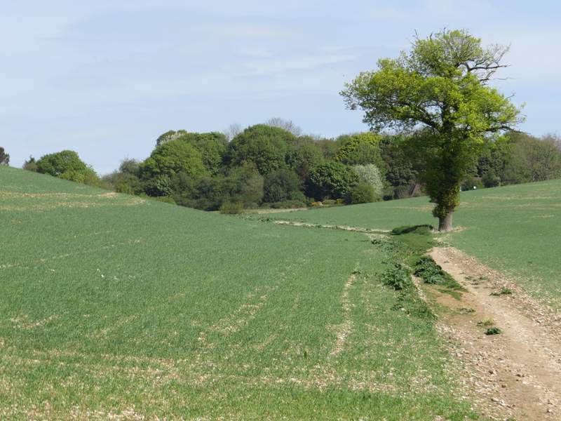
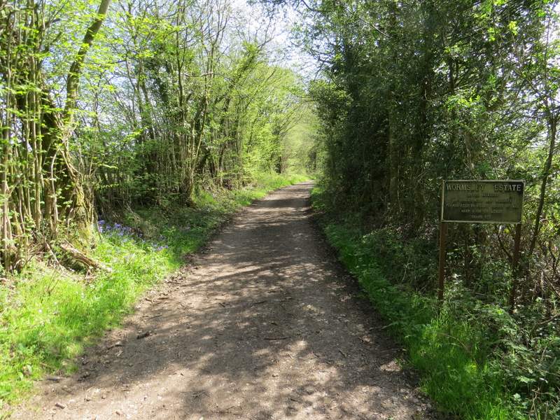
In the valley bottom I crossed over one of the drives in the Wormsley Estate, and continued along a bridleway running through the attractive Wormsley valley. After about a quarter of a mile, I turned right (rejoining the Chiltern Way) and following a footpath uphill beside a fence and an intermittent hedge. The path steepened considerably when it went over a stile and entered Commonhill Wood, but this was only for a short distance until I reached a bridleway. Here I turned right, following the bridleway more gently uphill to reach the edge of Ibstone Common.
The bridleway through the Wormsley valley - I would turn right to follow a path alongside the intermittent hedge between the green fields
The path following the intermittent hedge
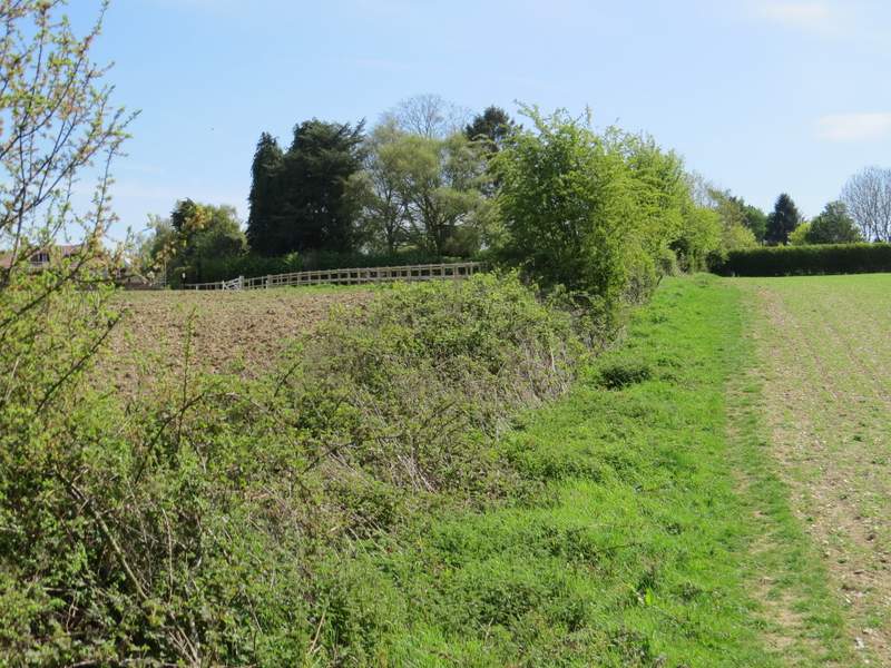
Looking back from the edge of Commonhill Wood - the bridleway from Northend came down through the thick hedgerow (or tree belt) in the centre of the photo
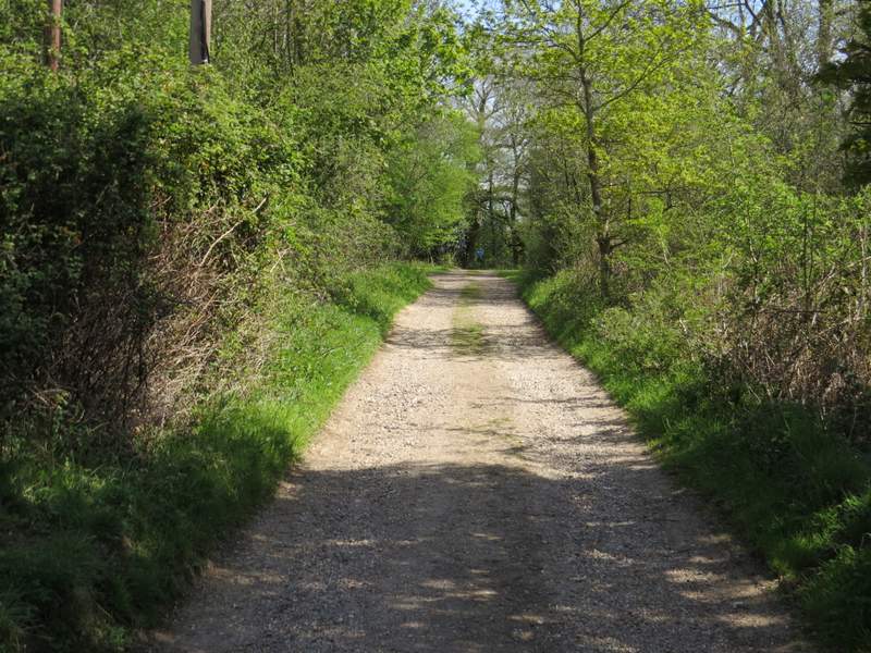
The bridleway rising up through Commonhill Wood to Ibstone
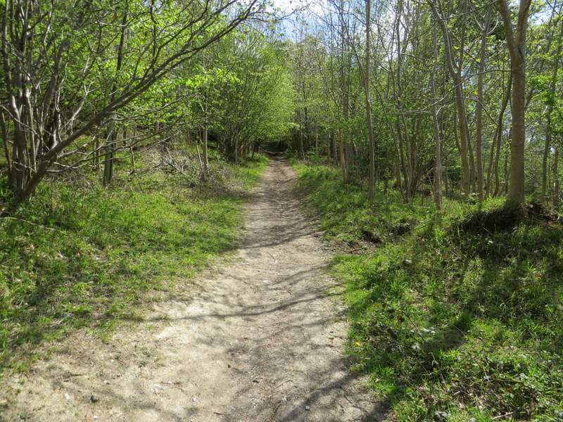
The bridleway rising up through Commonhill Wood to Ibstone