Pete's Walks- Marsworth, Tring Station, Halton (page 1 of 5)
If you are considering walking this route yourself, please see my disclaimer. You may also like to see these notes about the maps and GPX files.
Google map of the walkDownload GPX file of the walk
I did this circular walk of about 14 miles on Saturday, 18th June 2016. It was intended to be a repeat of the Marsworth, Halton, Tring Station walk I did in December 2012, but walked in the opposite (clockwise) direction. However I blundered and went the wrong way when I reached Tring Park, so it's not quite the same route as that walk (Note: I have now walked the correct route clockwise, in October 2010). It was an almost uniformly overcast day with dark grey clouds, so I'm afraid the photographs are all somewhat dismal.
I only chose to do this route about an hour before I set off from home. I had had a couple of other options in mind, but when I was reminded I needed to get something from a garden centre at Bulbourne, starting a walk at nearby Marsworth seemed a good option. Then it occurred to me that after all the recent rain (is this really June? Seriously?) a canal walk wouldn't be a bad choice, as I think towpaths tend to be drier underfoot than many other footpaths and bridleways (which I why I usually do them in December or January).
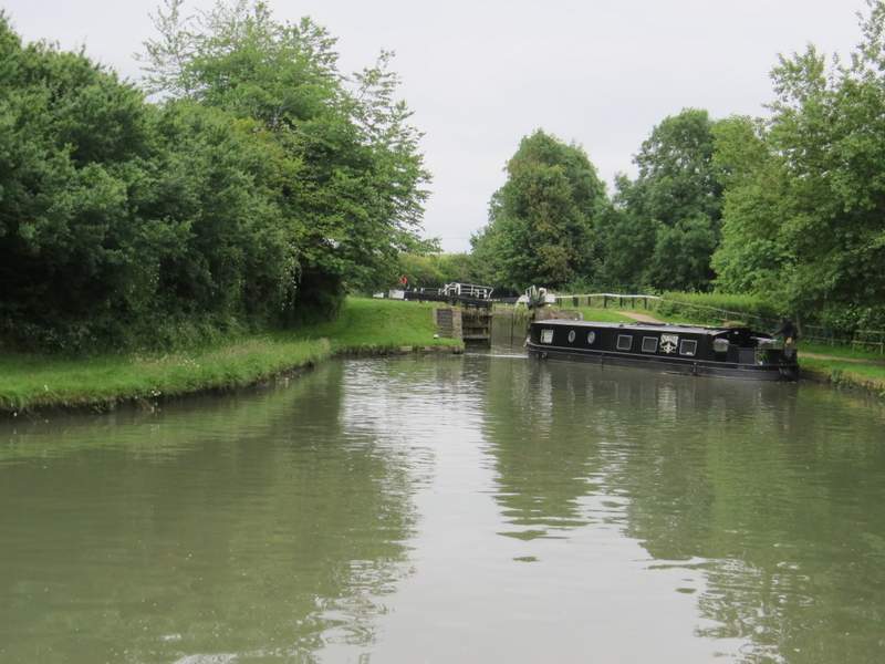
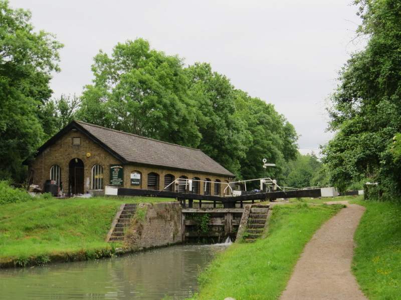
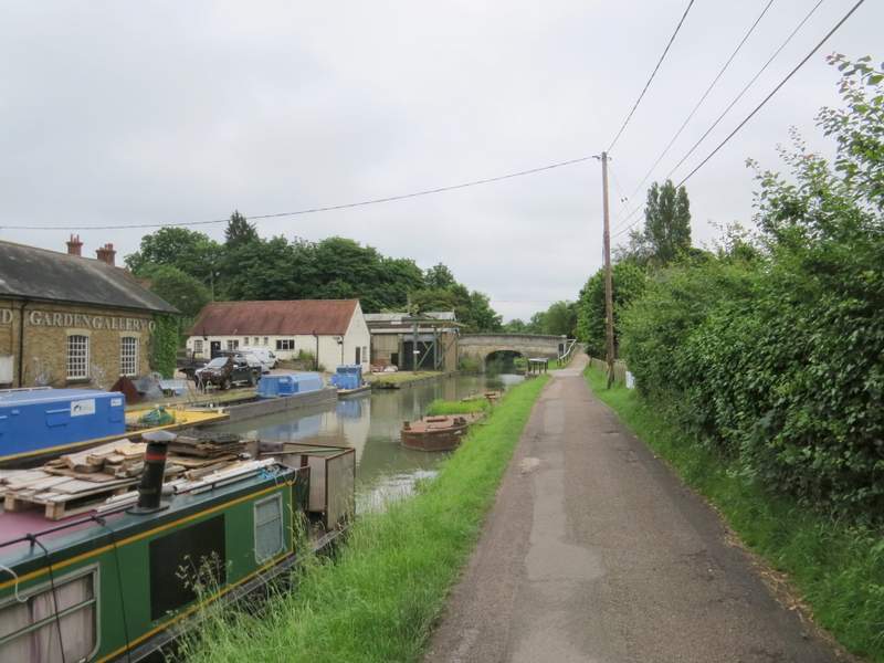
I parked at the car park in Marsworth (it cost me £3, other times I've parked in a side street) and started walking about 10.10am. I followed the path out of the end of the car park, and soon took the slightly higher of two parallel paths. These soon came together again as I followed the towpath of the Grand Union Canal, with Marsworth reservoir on my right. I passed two or three locks (a boat was just about to enter one of them as I passed by) and soon reached Bulbourne, where the towpath went under a road bridge (I cross this bridge on most of my trips into the Chilterns).
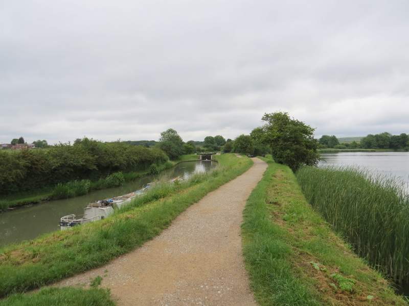
The Grand Union Canal passing Marsworth reservoir (the photo is taken from next to the narrow strip separating Marsworth and Startop's End reservoirs)
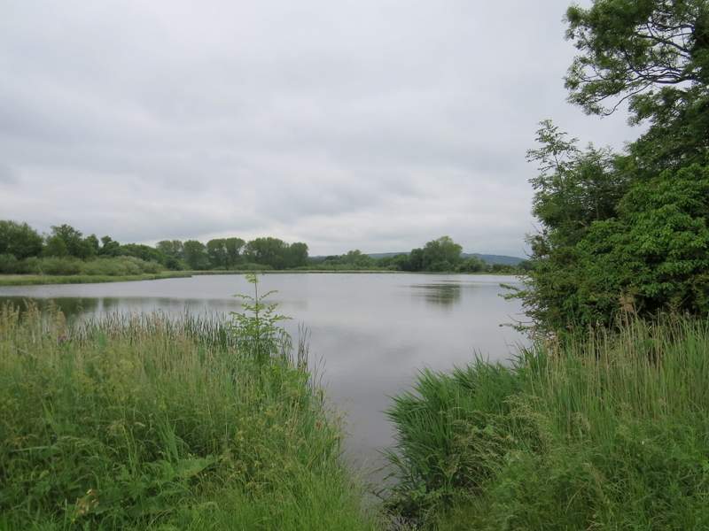
Marsworth reservoir
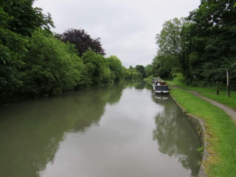
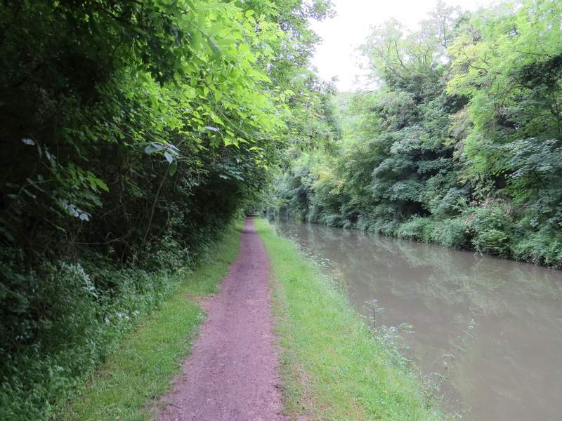
The Grand Union Canal, going east from Marsworth
The Grand Union Canal, going east from Marsworth
The Grand Union Canal at Bulbourne (I drive over that road bridge ahead on most of my trips into the Chilterns)
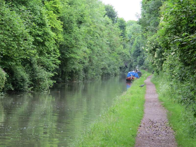
There were now tall trees either side of the canal. I spotted a heron on the towpath ahead of me, which let me get remarkably close before it flapped its wings and flew off (it had the intelligence to fly a short distance back the way I'd come from). When I reached the next bridge, the towpath went over it and continued along the left bank of the canal. I then soon met a group of young people with heavy rucksacks coming the other way, the first of about ten such groups I'd encounter today (who I'd discover were doing something for their Duke of Edinburgh awards). I reached Tring Station sooner than I'd expected, and almost walked under the bridge instead of going up the steps to the road through the village.
The Grand Union Canal, going southeast from Bulbourne
The Grand Union Canal, going southeast from Bulbourne (note the Heron about to cross the towpath)
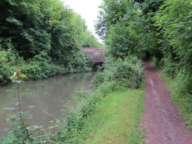
The Grand Union Canal going southeast from Bulbourne (approaching the bridge where the towpath switches to the other side)
The Grand Union Canal, going southeast from Bulbourne
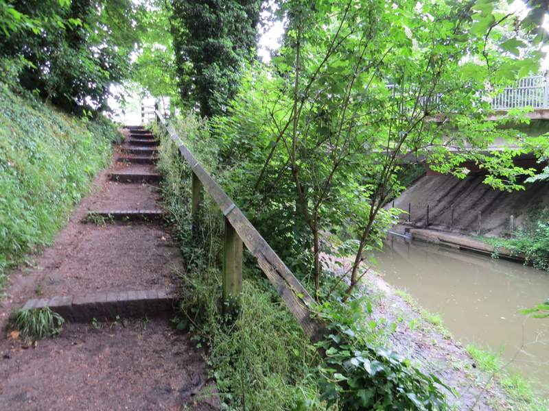
Leaving the Grand Union Canal at Tring Station
I crossed the road and turned right for a few yards (crossing the canal) before going down a lane or minor road - I was now on the route of the Ridgeway national trail, and would be following its white acorn symbols as far as Hastoe. After two or three hundred yards I took a footpath starting in the hedge on my right. This immediately crossed what was once an all-weather gallop for horses, which was now overgrown. The path continued between fences with meadows of long grass on either side. Over to the right I could see Pendley Farm, and a little further on I could see the roof of Pendley Manor (which is now a hotel). I followed the path straight on until it ended on the A4251 main road (the A41 before the new dual carriageway was built, and long before that the Roman Akeman Street). A short distance to the right I took a footpath on the other side, which soon ran to the left of a paddock or enclosure, and then crossed an impressive footbridge over the A41.
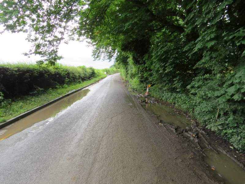
The minor road out of Tring Station

The footpath near Pendley Farm
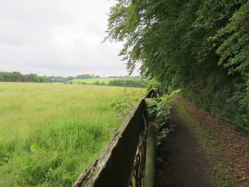
The footpath near Pendley Farm
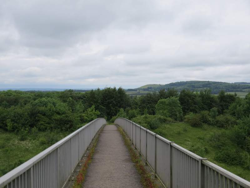
Looking back over the footbridge over the A41