Pete's Walks- Marsworth, Tring Station, Halton (page 2 of 5)
If you are considering walking this route yourself, please see my disclaimer. You may also like to see these notes about the maps and GPX files.
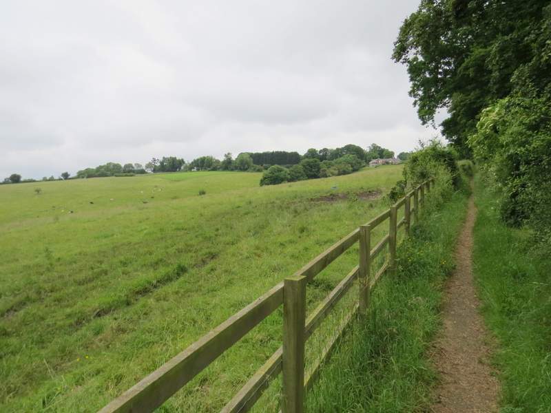
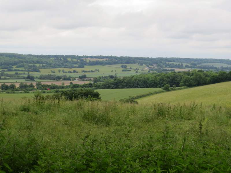
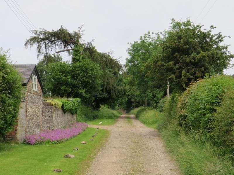
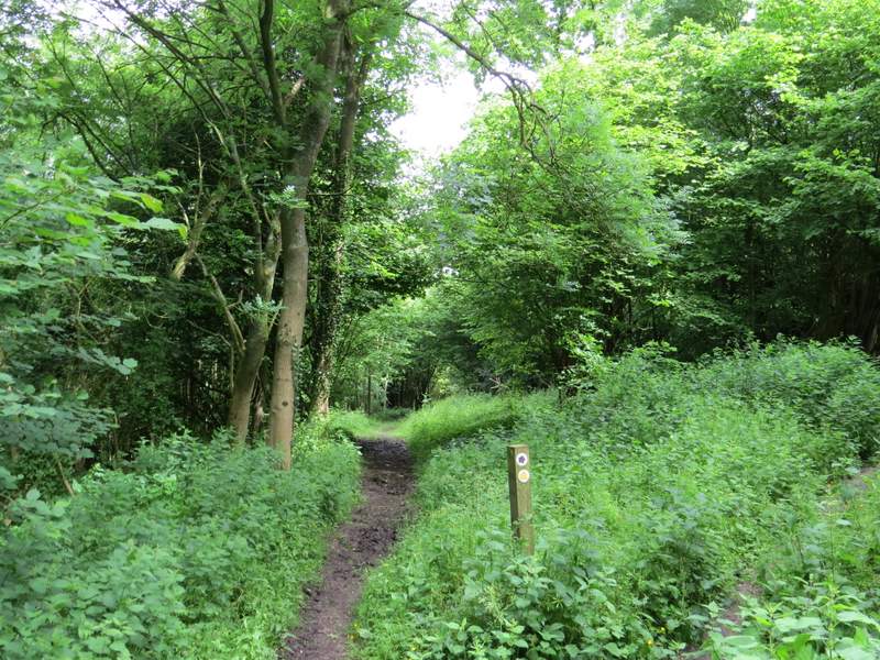
The path continued gently uphill following a tall hedgerow on my right, with meadows or pastures over the fence on my left. I paused a couple of times to admire the view looking left and backwards. The path eventually led to a minor road named The Twist, where I went a few yards right and then took a path on the other side. Soon there was a nice view to the right, over Tring and the Vale of Aylesbury (like all the views today, not at its best in these grey and overcast conditions). The path soon followed a wood on my right, and when I reached a gate or stile, the path turned slightly right to follow another edge of the wood. The path then followed a hedge or fence on the left to reach another minor road just as it entered Wigginton.
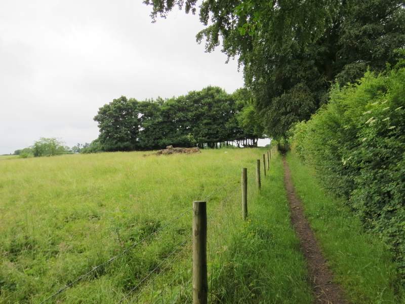
The Ridgeway continuing towards The Twist
The Ridgeway continuing towards The Twist
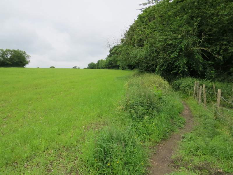
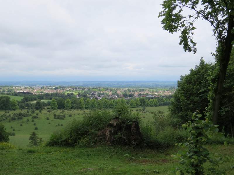
Looking left, from the path to The Twist
Looking right just after crossing The Twist
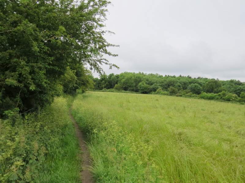
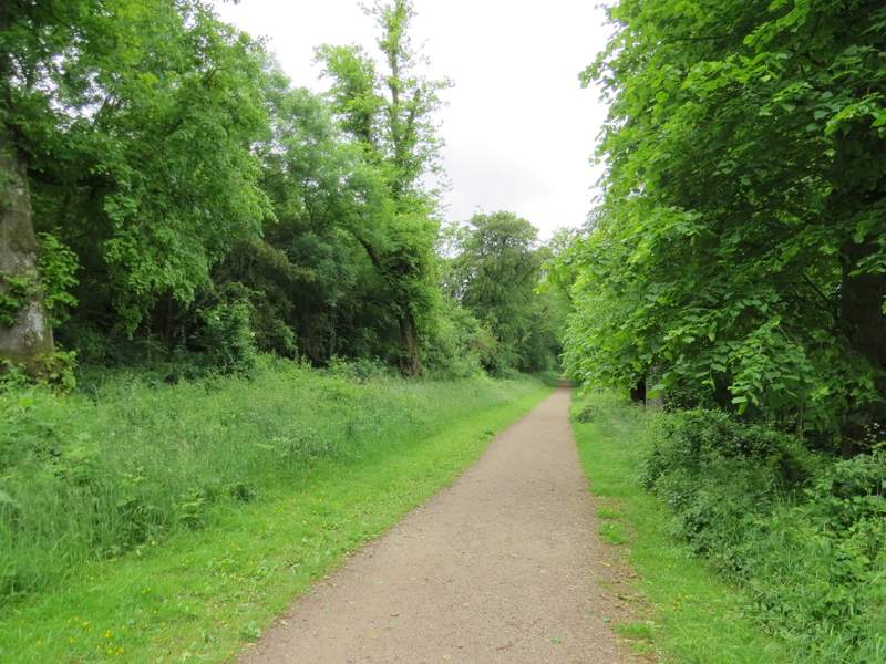
The path from The Twist to Wigginton
Approaching Wigginton
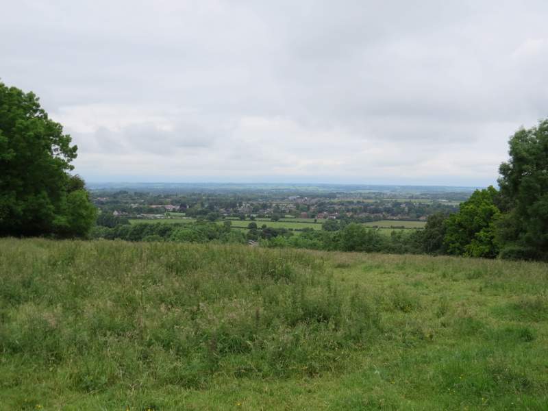
Across the road I went down a drive past some cottages on the left, and continued ahead into Tring Park. When I reached a path junction I turned left onto a track called King Charles's Ride, named after Charles II who was once a guest here (this junction was where I went wrong, as to follow the route I used in December 2012 I should have gone straight on). The track ran through trees on top of a steep slope leading down through the park - there were a few gaps in the trees on the right, giving extensive views over Tring and part of the Vale of Aylesbury. When I reached a lane I turned left, then turned right at a lane junction, following this new lane for about a third of a mile through Hastoe.
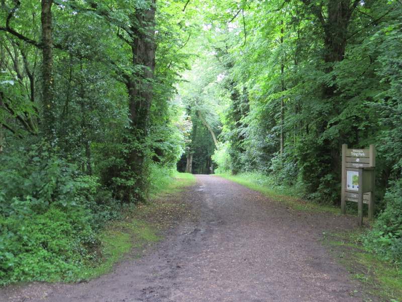
The start of the path into Tring Park
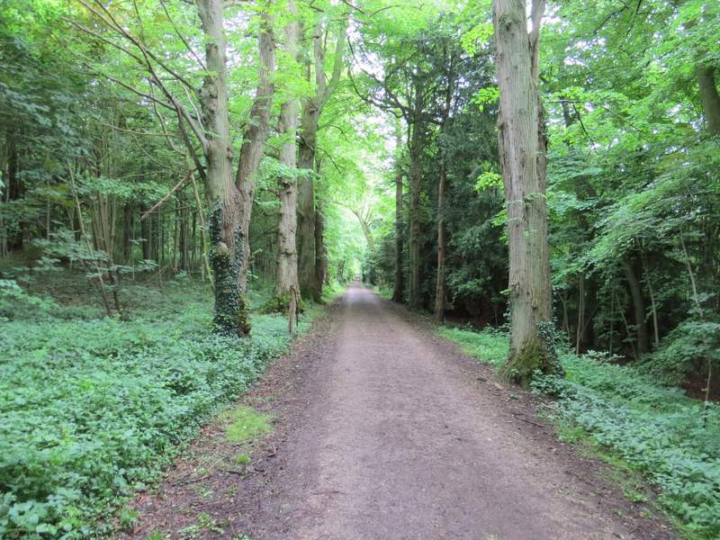
King Charles's Ride, Tring Park
Looking right from King Charles's Ride, over Tring Park, Tring and part of the Vale of Aylesbury
King Charles's Ride, Tring Park
King Charles's Ride, Tring Park
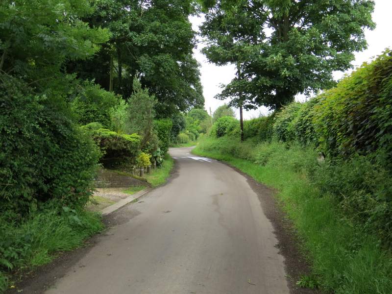
The lane through Hastoe
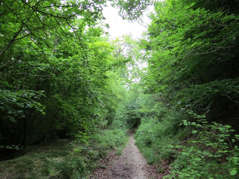
When I reached a lane junction, I went straight on for a few yards, then turned right (this was where I left the Ridgeway) along a byway heading to Grove Wood. When I reached a house called Hastoe Grove, the byway went to the left of it (there was a momentary sunny interlude here, the only one I can remember throughout the whole walk!). I went straight on along the byway, ignoring several paths going left or right, as it now descended through Grove Wood.
The byway to Grove Wood
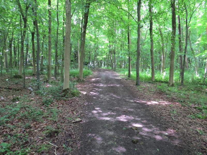
The restricted byway descending through Grove Wood
The restricted byway descending through Grove Wood
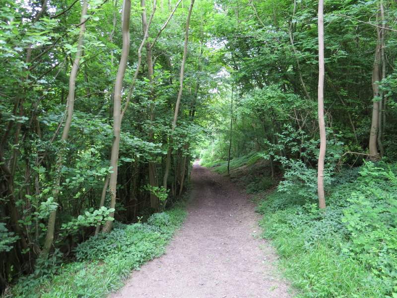
The restricted byway descending through Grove Wood