Pete's Walks- Marsworth, Tring Station, Halton (page 3 of 5)
If you are considering walking this route yourself, please see my disclaimer. You may also like to see these notes about the maps and GPX files.
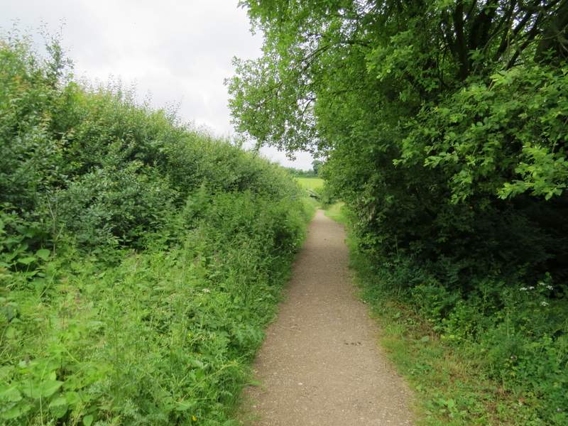
At the very bottom of the slope, I turned left onto another byway (this was where I rejoined the route I used in December 2012) which ran between overhanging hedges. After a while this curved left - I went straight on where another byway went right, until I came to a T-junction. Here I turned right, following another byway which soon passed a cottage and reached a lane. Across the lane, the byway continued between more hedgerows (the byway is here name Fox Lane on the OS map). After a few hundred yards, I turned left on a crossing footpath and followed this path all the way to Dancers End Lane at the foot of the wooded slopes of Aston Hill.
The start of the next restricted byway, after I turned left
Further along the second restricted byway
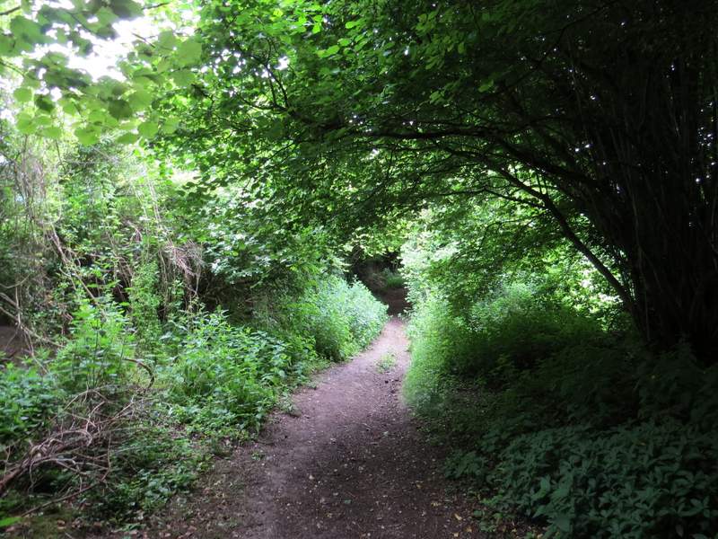
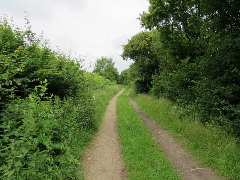
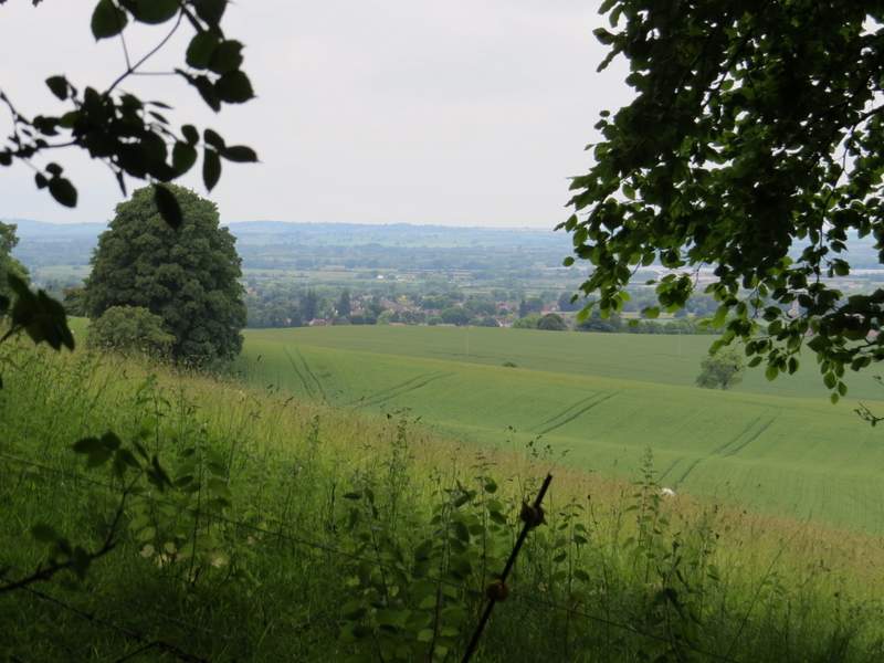
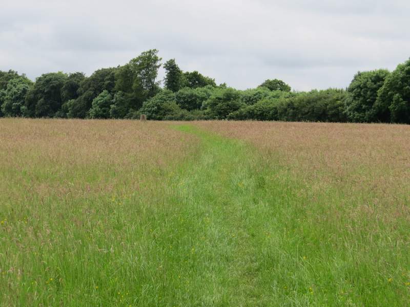
The third restricted byway, after I turned right
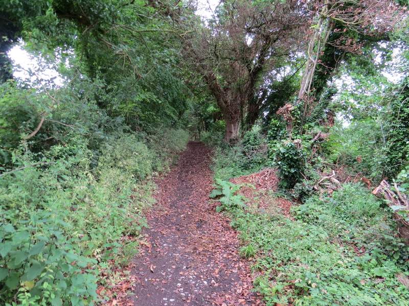
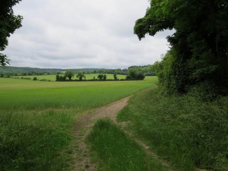
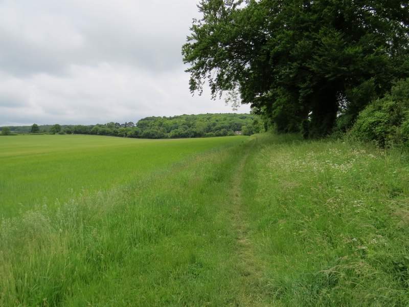
Fox Lane
Fox Lane
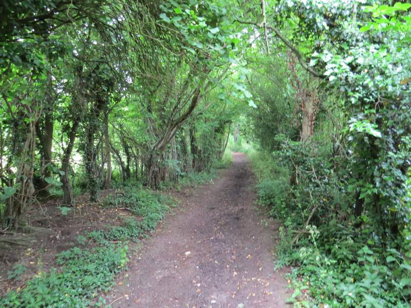
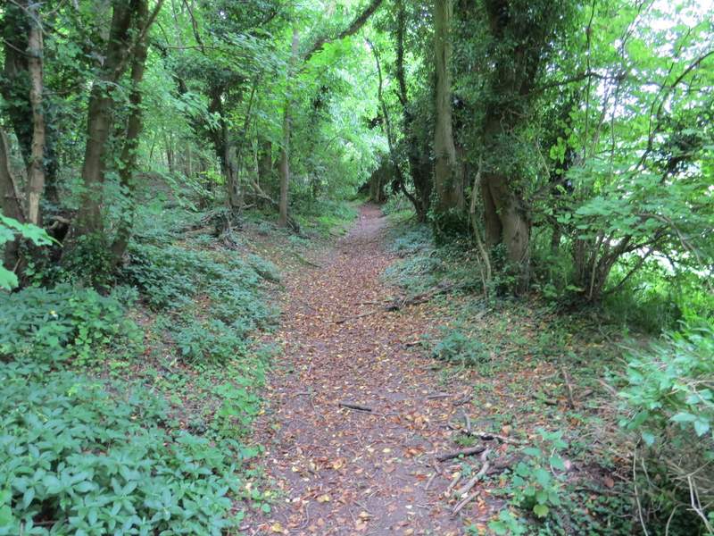
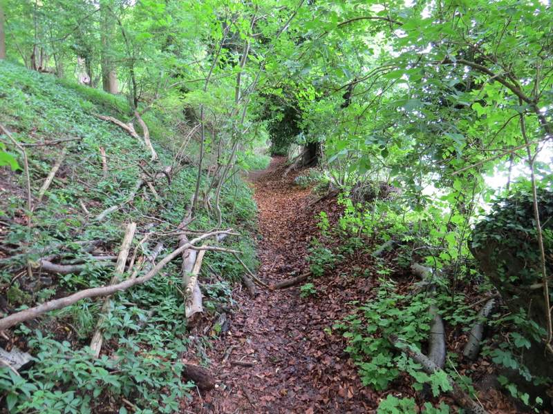
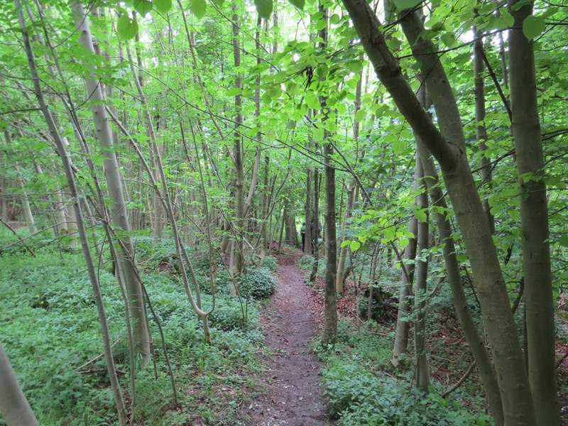
The start of the path after I turned left from Fox Lane
The path from Fox Lane
I turned right for about a hundred yards, then turned left onto a footpath that climbed steadily up Aston Hill. Initially it ran just inside the edge of a wood, with a field to my right. I passed two more Duke of Edinburgh groups coming down the hill (I'd seen at least two more that I can remember since I saw the first group along the canal). At the top of the hill the footpath eventually joined the drive from Aston Hill Farm, which brought me to the road that climbs the hill.
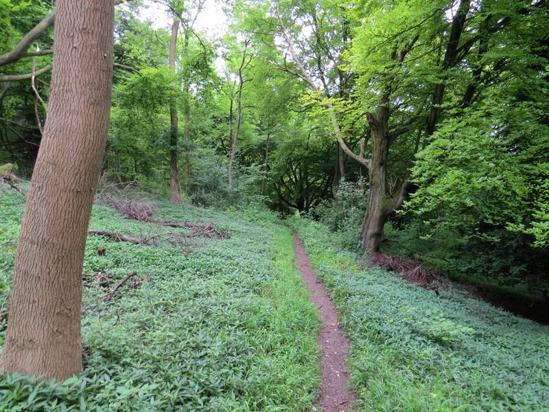
The path up Aston Hill
Looking right from the path up Aston Hill
The path up Aston Hill
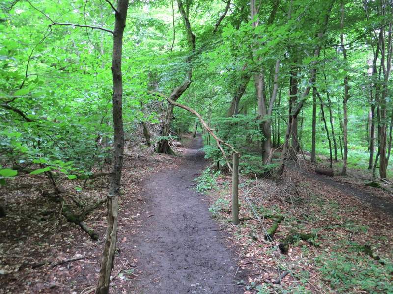
The path up Aston Hill
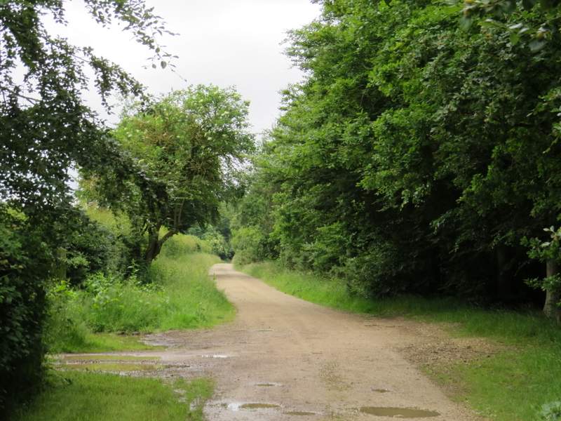
The drive from Aston Hill Farm
A few yards left, I went down a drive or track on the other side of the road, but almost immediately left it by taking a footpath that forked half-left across a meadow of long grass - in the middle of the meadow I passed a Trig Column, which the OS map indicates is at 260m above sea level (the highest point in the Chilterns is the nearby Haddington Hill which is 267m above sea level). Beyond the meadow I continued straight on along the path (it almost immediately crossed another path) which now descended through part of Wendover Woods. After a while I crossed the tarmac drive to the Wendover Woods visitor centre, and continued downhill until I reached a path crossroads where I turned right along a broad track.
The path across the meadow on Aston Hill - you can see the Trig Column (260 metres above sea level)
The path descending through Wendover Woods
The path descending through Wendover Woods
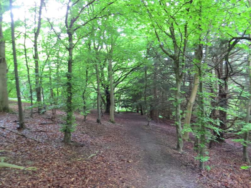
The path descending through Wendover Woods