Pete's Walks- Stockgrove, The Brickhills, Woburn Sands (page 1 of 6)
If you are considering walking this route yourself, please see my disclaimer. You may also like to see these notes about the maps and GPX files.
I did this walk of about 13 miles on Saturday, 9th July, 2016. This was a repeat of a walk I've done a few times now, from Stockgrove Country Park, through the villages collectively known as The Brickhills and on to Woburn Sands before returning a different way to Stockgrove Country Park - I took the slight shortcut marked as Alternative 1 on the Google map, in order to omit an area that would be busy with mountain-bikers. You can see my description of the first time I did this walk here (when I did it anti-clockwise). This walk made a bit of a change for me, as instead of being in the Chiltern Hills it was a little further north, just south of Milton Keynes. Most of it was on the Greensand Ridge that emerges here (I came across the Greensand Ridge Walk in two or three places) so I was walking on sand instead of chalk or clay for a change.
Note: I wouldn't recommend anybody trying to follow this route themselves. Despite having walked it a few times before (though the last time was about four and a half years ago) I managed to go wrong no less than four times (I think that equals my personal record!). The last time was probably carelessness on my part, but the other times were due to the plethora of paths and cycle tracks in the section between Bow Brickhill and Woburn Sands that are not shown on the OS map, combined with an absence of waymarks or signs at many junctions. In fact two of the very few waymarks I came across in this section were just plain incorrect - they were each on the wrong path! Apart from the places where I went wrong, there were at least three junctions where I only knew which way to go from past experience. So, unless you really enjoy getting lost in the woods, I wouldn't recommend this route.
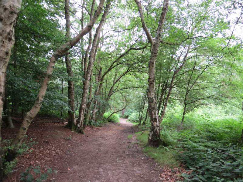
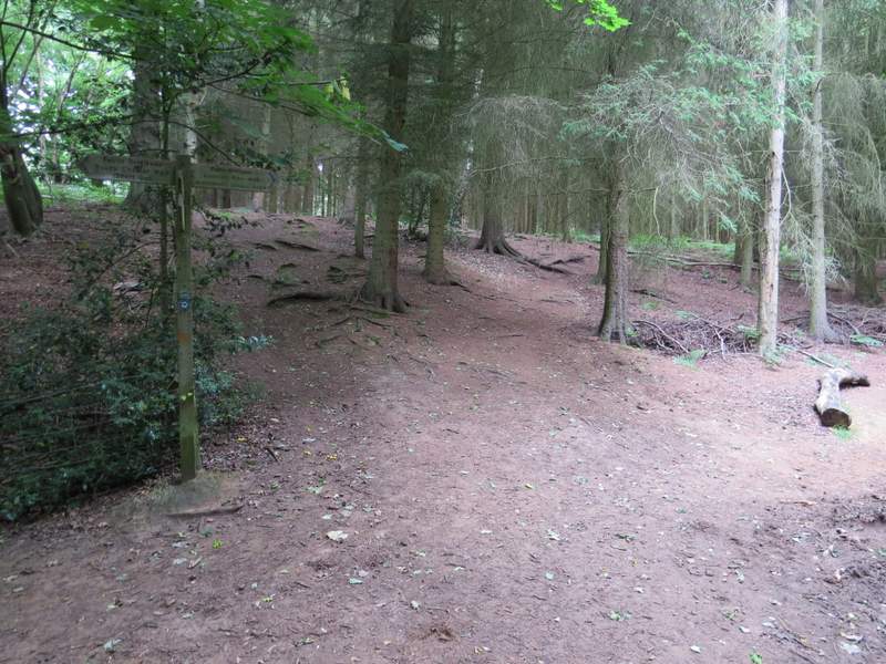
I parked at the car park for Stockgrove Country Park (Grid Reference SP 920294), which cost me £2. I took the footpath starting beside the entrance to the car park, immediately forking half-left along a path through the woods with a fence on my left. I went straight on through a gate and followed the path through the woods for about three-quarters of a mile to its end (by the Heath and Reach branch of the British Legion).
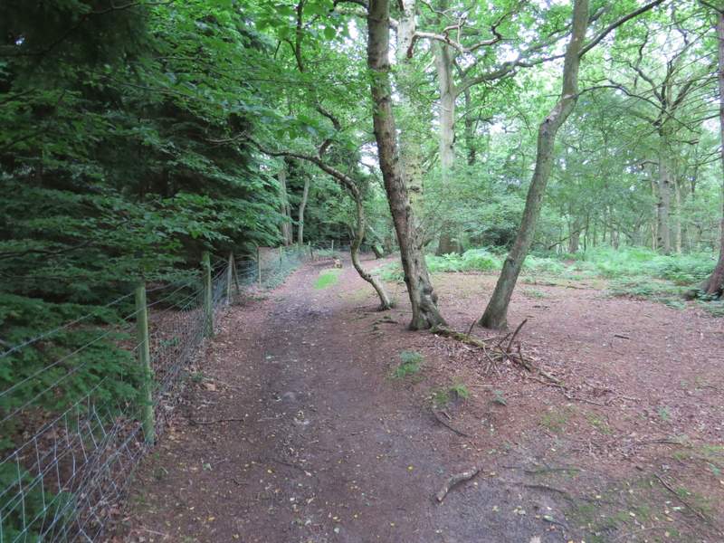
The start of the footpath from the Stockgrove Country Park car park
The footpath from the Stockgrove Country Park car park
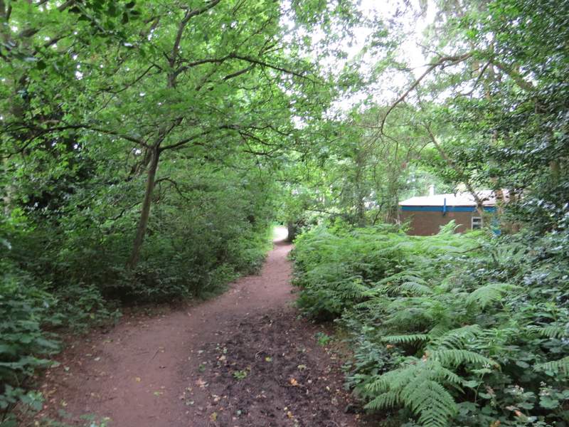
The footpath from the Stockgrove Country Park car park, approaching its end on the edge of Heath and Reach
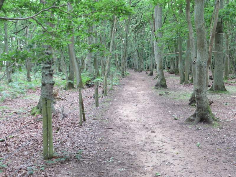
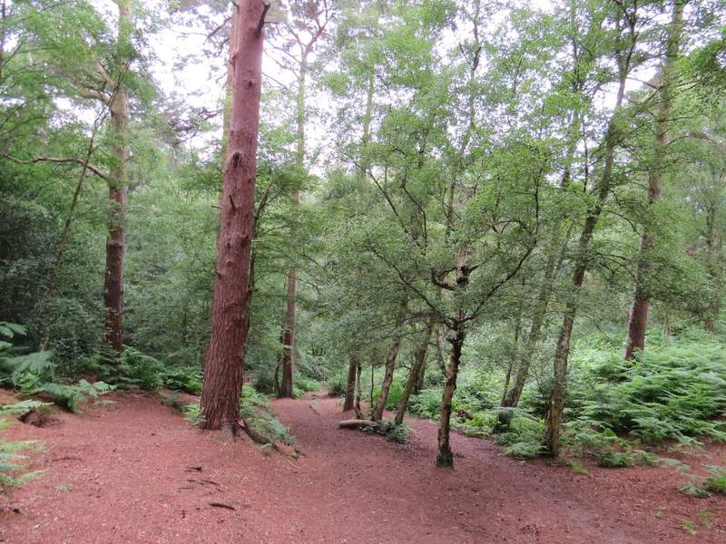
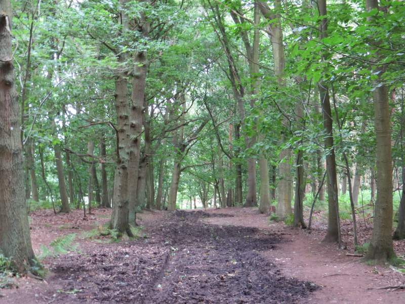
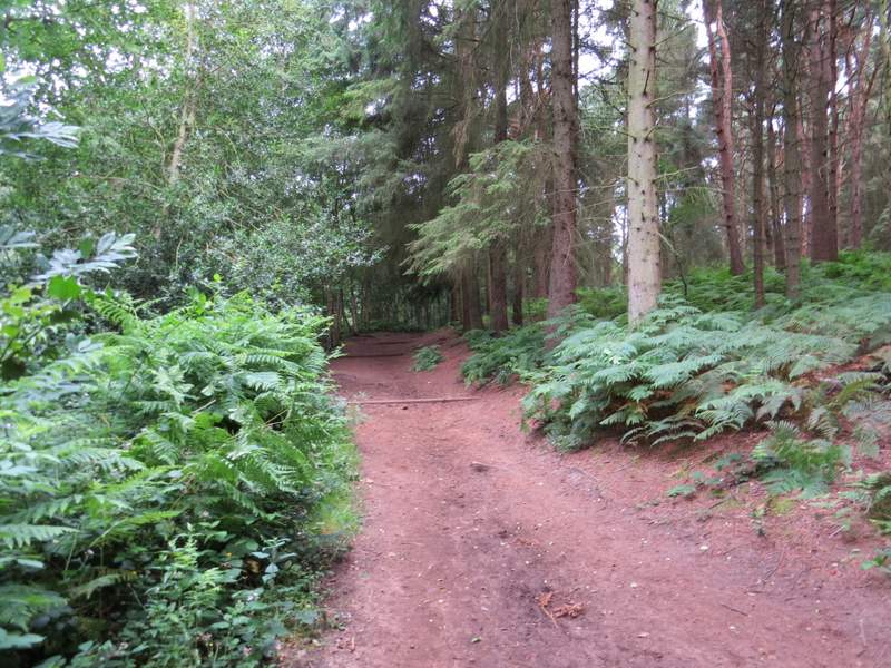
Here I turned right , heading west through the woods of what was now Rushmere Park. I kept going straight on at various junctions, the path descending very steeply after about half a mile before rising uphill much more gently. After another half-mile the path ended at a path T-junction, where I turned right to head northwards.
The footpath going west through Rushmere Park
The footpath going west through Rushmere Park
The footpath going west through Rushmere Park - this is where it descends steeply
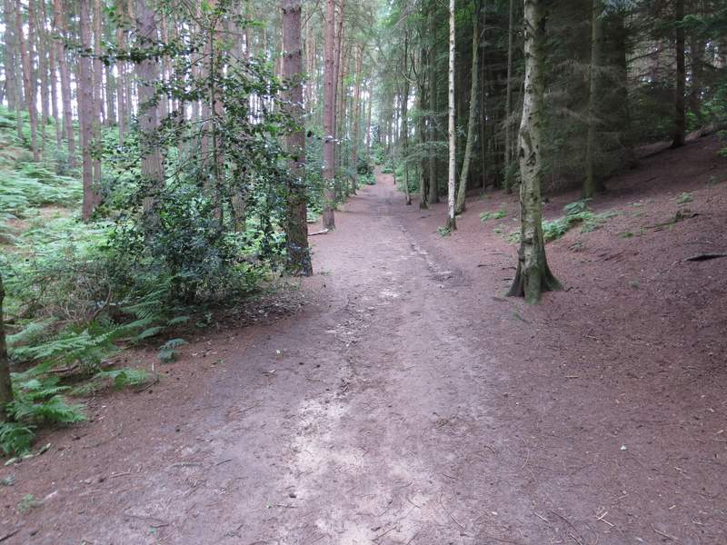
The footpath going west through Rushmere Park - this is where it goes back uphill much less steeply
The footpath going west through Rushmere Park
The footpath going west through Rushmere Park
The view ahead where the footpath going west through Rushmere Park ends at a path T-junction
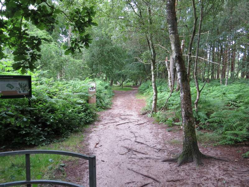
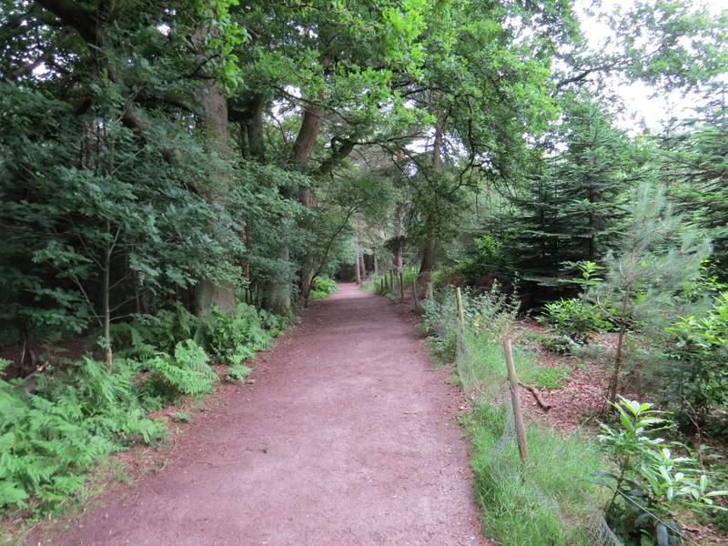
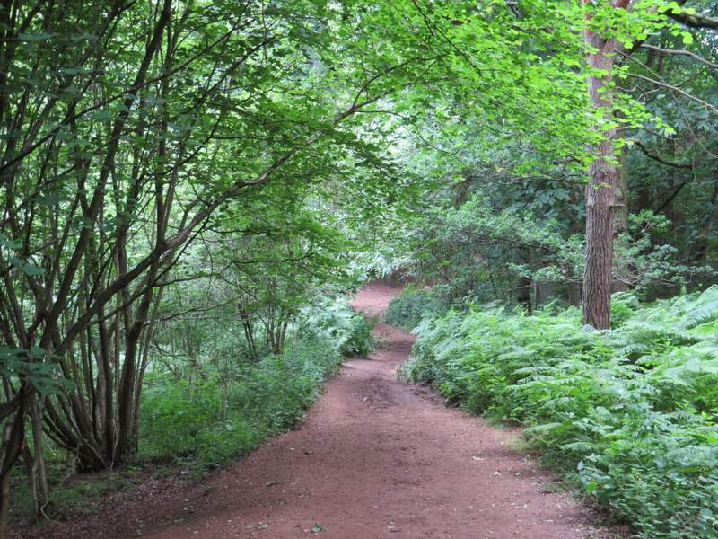
At first I was on the edge of woods with fields just to my left, but after passing a pond on my right I was back to having woods on either side of me. The path briefly went left just after the pond, this being my only moment of doubt about which way to go throughout this section of the walk. Further on I crossed the route of the Greensand Ridge Walk (indicated by a fingerpost) - my path became a little hard to see as it then went briefly uphill through some conifer trees, but beyond them it was very clear where it entered a patch of bracken.
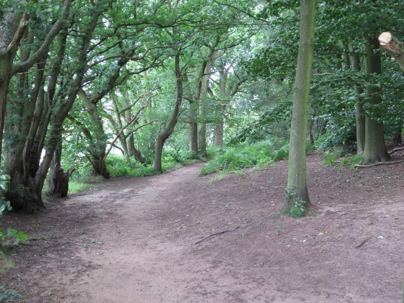
The footpath going north through Rushmere Park
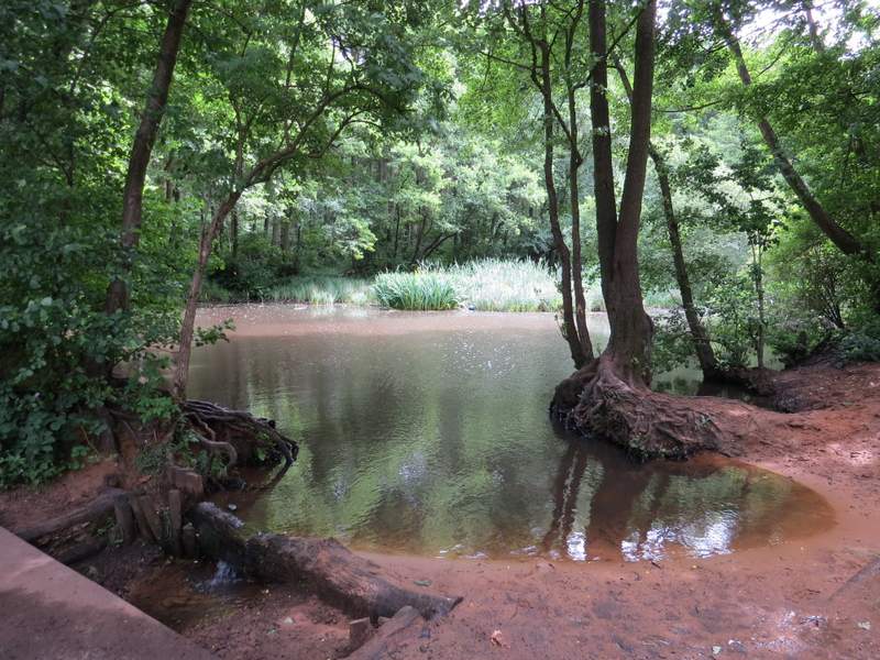
Pond beside the footpath going north through Rushmere Park
The footpath going north through Rushmere Park
The footpath going north through Rushmere Park
The footpath going north through Rushmere Park (immediately after crossing the Greensand Ridge Walk)
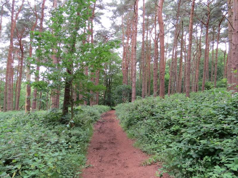
The footpath going north through Rushmere Park