Pete's Walks- Stockgrove, The Brickhills, Woburn Sands (page 2 of 6)
If you are considering walking this route yourself, please see my disclaimer. You may also like to see these notes about the maps and GPX files.
About a mile after I'd turned right at the T-junction on the edge of the woods, the path left Rushmere Park at a gate. It then crossed a stream and continued on to join the end of a lane in Great Brickhill. I followed the lane to its other end, where I turned left for a few yards to reach the centre of the village where there was a Millennium stone and an information board on a traffic island opposite the Old Red Lion pub. I turned right here and immediately right again (so I was walking with my back to the pub), following this road for about half a mile before turning right immediately before a white cottage on the edge of the village.
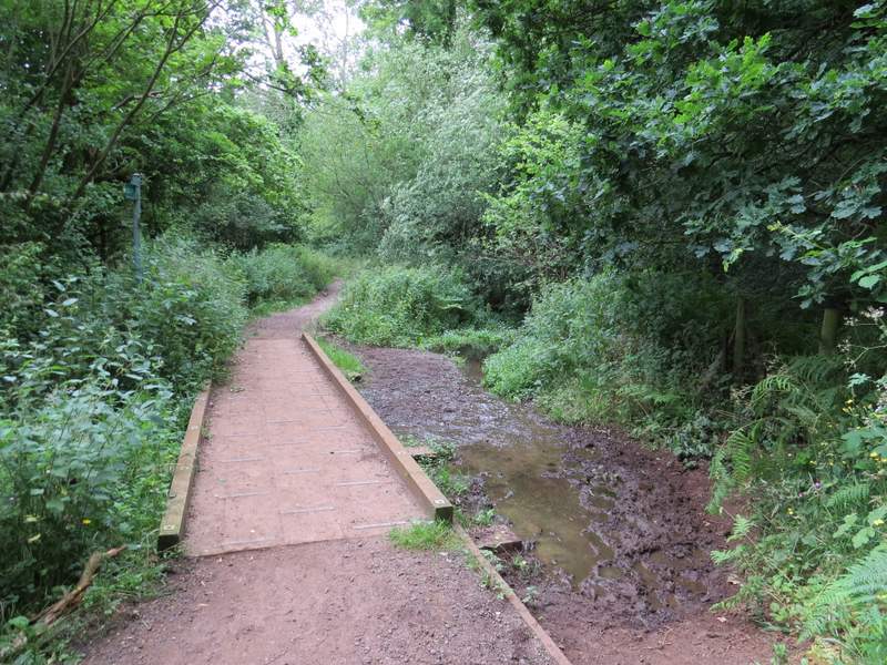
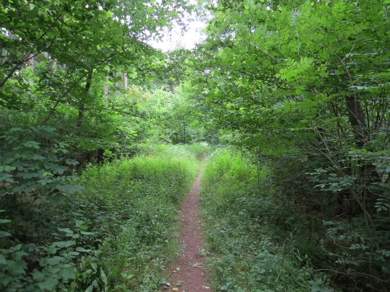
The footpath going north, just after leaving Rushmere Park
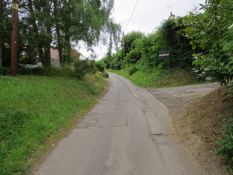
The lane into Great Brickhill
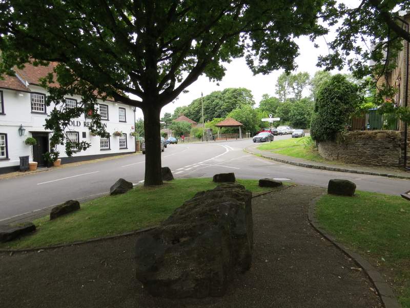
The centre of Great Brickhill
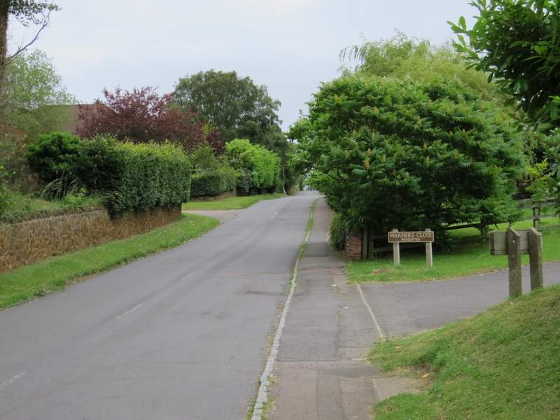
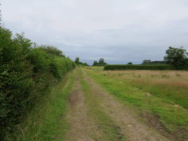
The road through Great Brickhill
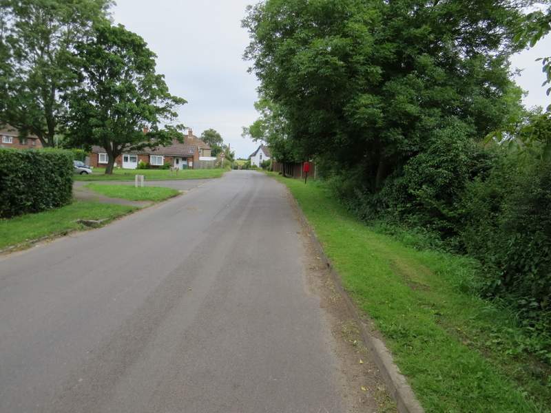
The road through Great Brickhill (I turned right immediately before the white cottage)
I now followed a surfaced drive to Home Farm, with several large paddocks on my left. The footpath continued beyond the farm, following a track that soon brought me to Duncombe Wood. Here the path left the track, and ran through the wood for about half a mile, finally going through a gate and along a short drive beside a cottage to reach a road (going to Little Brickhill, three-quarters of a mile to my left).
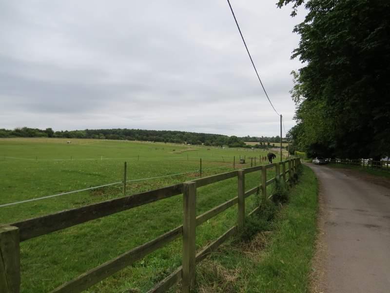
The drive to Home Farm
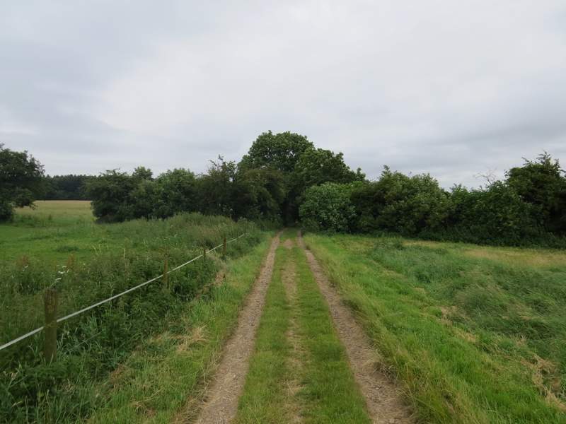
The path continuing from Home Farm towards Duncombe Wood
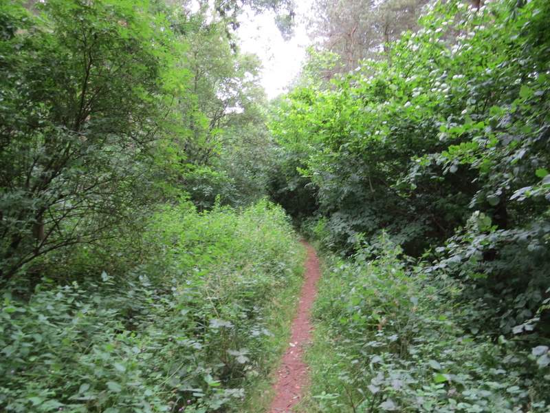
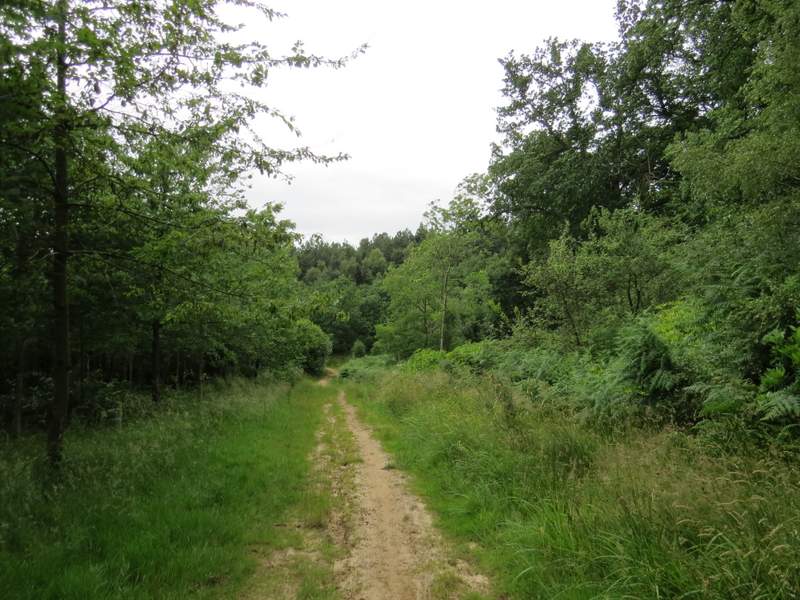
Duncombe Wood
Duncombe Wood
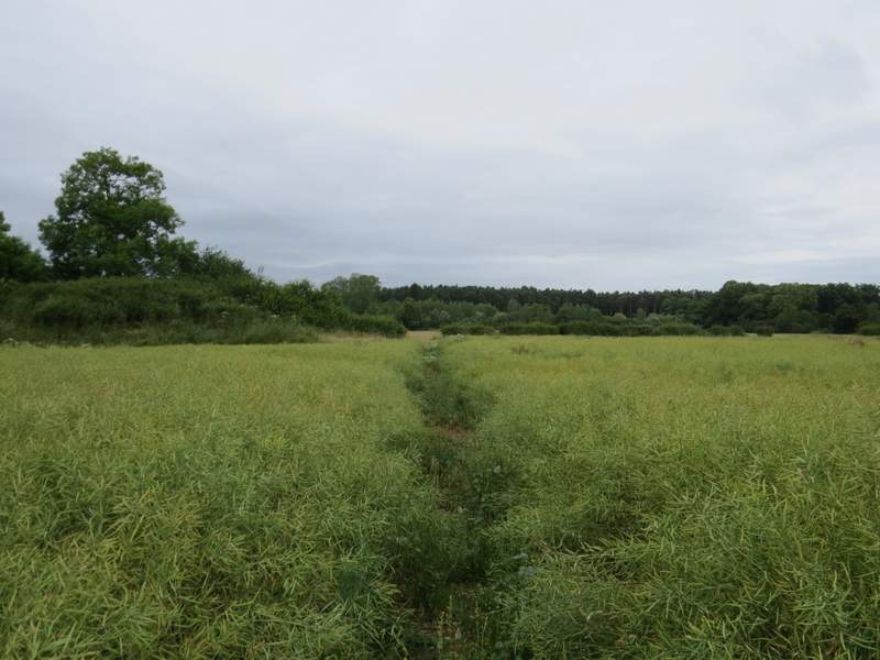
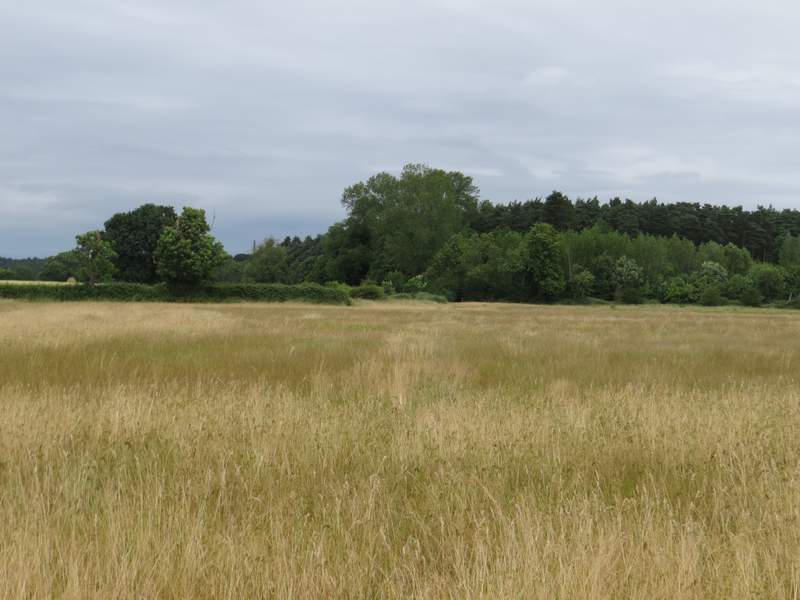
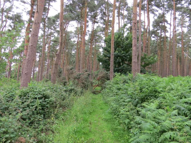
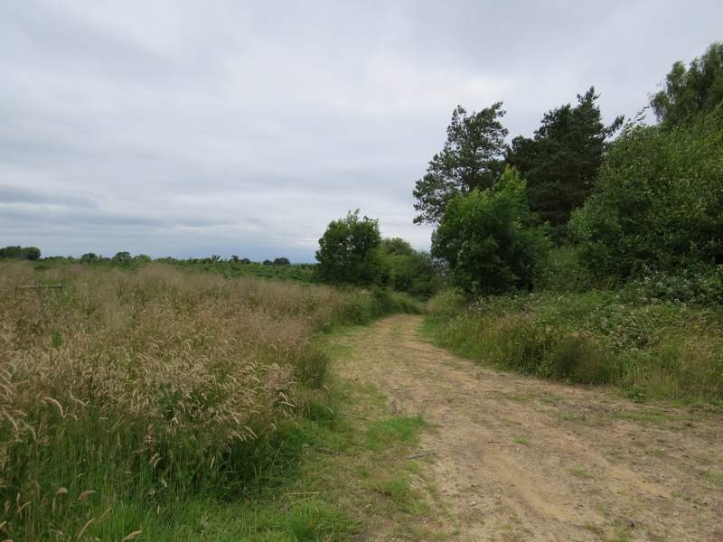
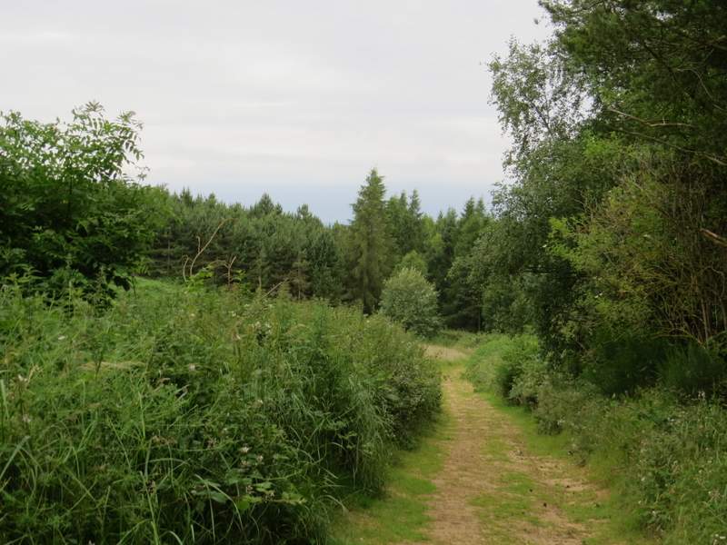
Across this road (the old route of the A5) a path just a few yards long led through bushes to the new A5 dual carriageway, which I crossed very carefully (there are safety barriers with a gap for pedestrians in the centre of the road). Over a stile, a footpath then went left alongside a hedge for one or two hundred yards, before going half-right across the corner of a field of oil-seed rape. The path continued through a field of long grass, where I gradually made my way over to the hedge on my left and then followed it to the field corner. The path then continued through part of Buttermilk Wood (that's the nearest name I can see on the OS map anyway), which here was largely coniferous.
The path beside the A5
The same path after it turns half-right
The same path heading towards Buttermilk Wood
Buttermilk Wood
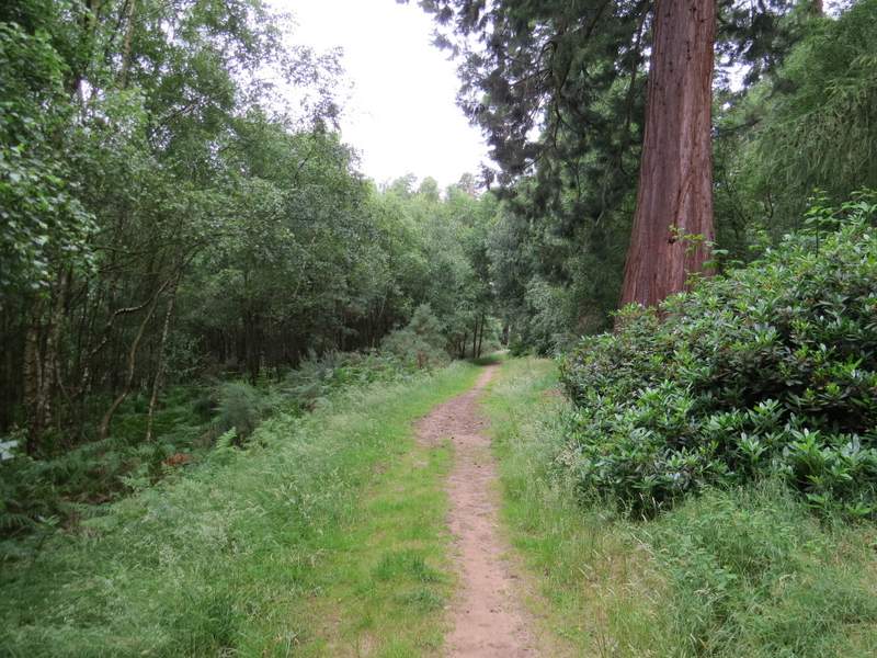
Beyond the wood I reached a road, where I went a few yards left to a road junction at a bend, where I carefully crossed over and went through a gate. A bridleway now headed northwards aong a track, soon descending gently into Broomhill Wood. I kept left at a junction at the bottom of the slope, and continued along the bridleway - I passed a large Redwood tree on my right at one point, which I remembered from the previous times I've walked this route.
Near the start of the bridleway through Broomhilss Wood
The bridleway through Broomhilss Wood
The bridleway through Broomhills Wood
The bridleway through Broomhills Wood