Pete's Walks- Bison Hill and Totternhoe (page 1 of 3)
If you are considering walking this route yourself, please see my disclaimer. You may also like to see these notes about the maps and GPX files.
I did this walk of about 7.3 miles on Sunday, 24th July, 2016 (the previous day had been very hot and humid, so instead of doing one long walk I'd decided to do two shorter walks on successive days). It was a repeat of a walk I'd done almost exactly one year previously but in the opposite (clockwise) direction.
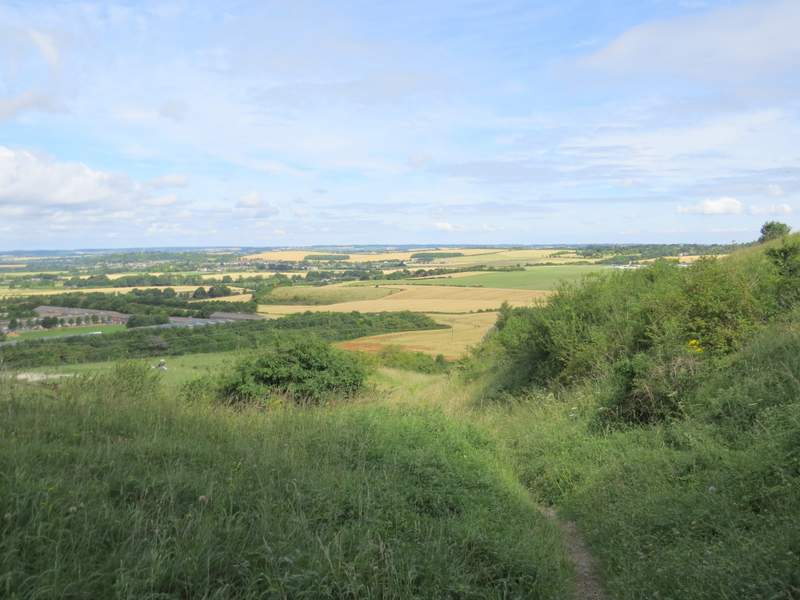
I parked at the car park at Bison Hill (Grid Reference SP 999185 - curiously, it's not named on the map) in Whipsnade and started walking about 10.35am. I took the path from the end of the car park and followed it to a metal kissing-gate, beyond which the path continued through long grass as it contoured round the top of the hill, with splendid views over the Vale of Aylesbury [UPDATE 28/01/2025 - at a path fork, just before a couple of trees, I used to keep left, but this path is now overgrown and blocked by thorny bushes, so use the right fork (much clearer) instead]. There were many butterflies, including Marbled Whites and Chalkhill Blues, and I passed some lovely pink Musk Mallow. The path curved right and after a while dropped steeply for a few yards to where two old sunken lanes or drovers' ways crossed. I went straight on here, continuing to descend.
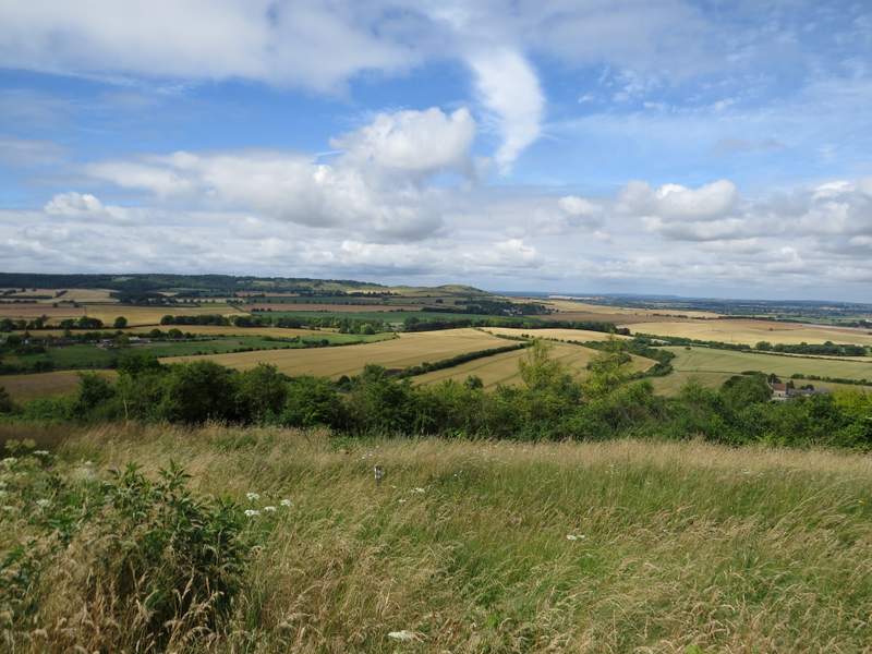
View towards Ivinghoe Beacon from Bison Hill
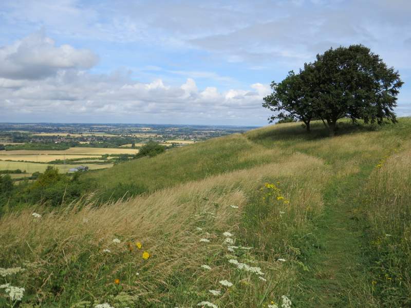
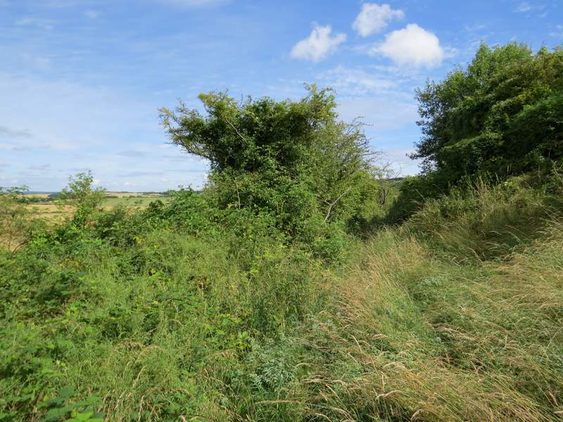
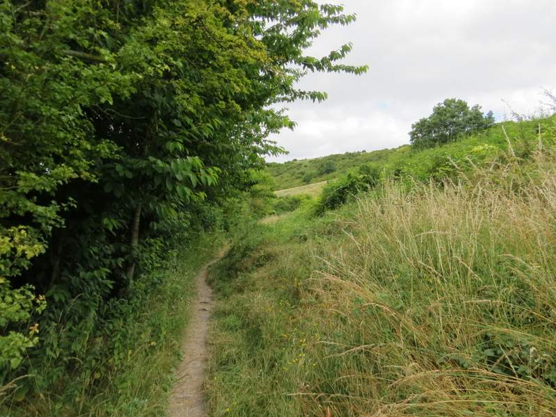
The path on Bison Hill
The path on Bison Hill
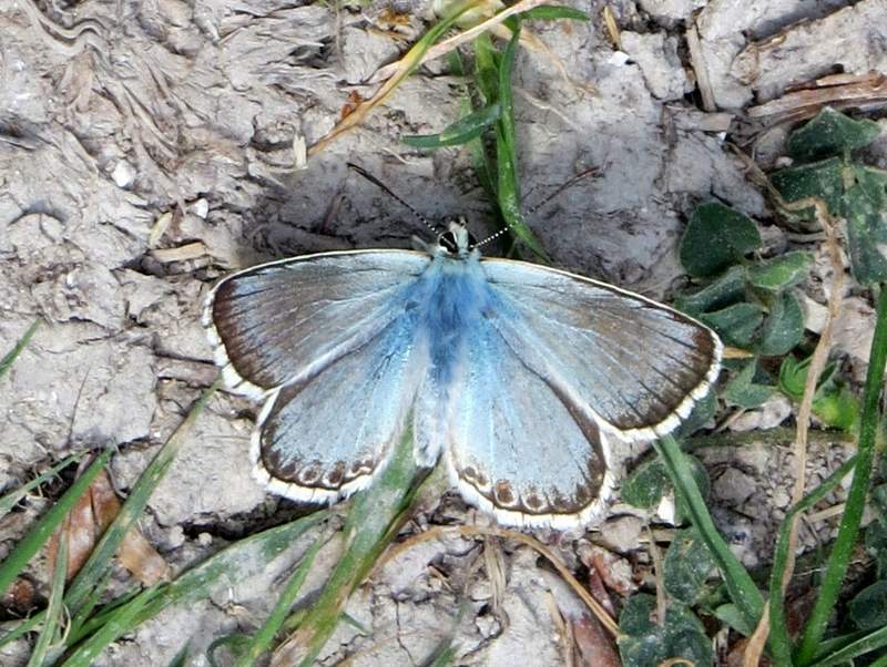
Chalkhill Blue
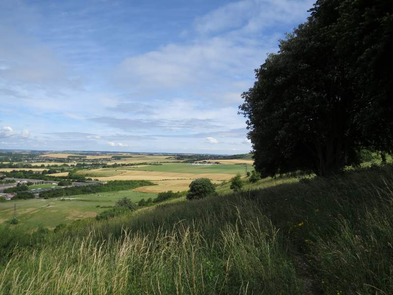
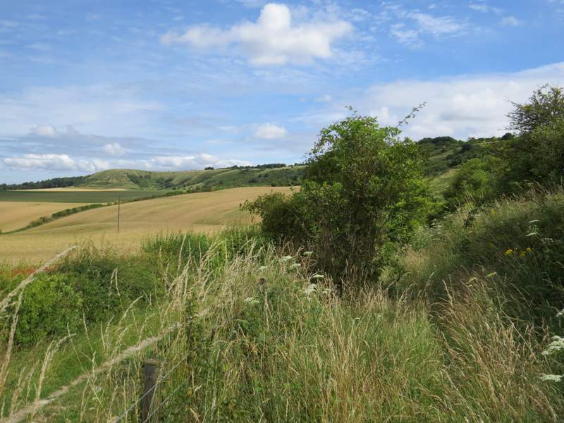
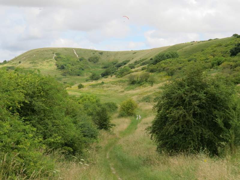
The path descending Bison Hill
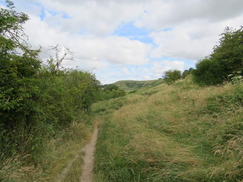
At the foot of the slope I turned left on a faint path for a few yards, then turned right to follow a path along the foot of the Whipsnade and Dunstable Downs (just to my left was a fence with a farm track the other side of it). I was surprised (and disappointed) to find the first half mile or so of this path to be quite a struggle. In many places it was very badly overgrown with nettles and brambles - at one point I had to move four thick brambles that were roughly at face height (and I'm over 6ft tall). I seriously considered giving up and going back at one point, but persevered and eventually made it through to a clearer section where there were no longer any bushes on my right. Here I met a couple of walkers coming the other way, both in shorts and short-sleeved shirts, and after I told them how bad it had been, they sensibly took my advice and tried an alternative route to Bison Hill. I then went through a metal kissing-gate and continued on my way along the foot of the Downs, the path now being perfectly clear (just as the other section has always been in the past). After several hundred yards (and having gone through another gate) I reached a gate on my left where a path ran past the end of the London Gliding Club (I'd had it on my left for about half-a-mile as I followed the foot of the Downs).
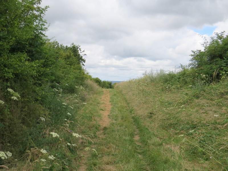
Near the start of the start of the path along the foot of the Downs
The path along the foot of the Downs

One of the overgrown sections along the path along the foot of the Downs - in places there were brambles across the path at face height
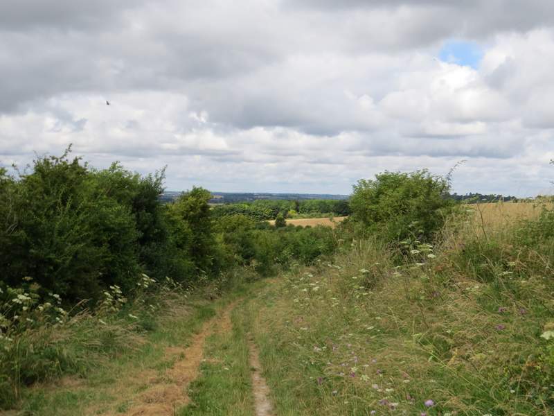
The path along the foot of the Downs - this is more like how it usually is
The path along the foot of the Downs
The path along the foot of the Downs, approaching the metal gate where I turned left
The path followed a track, with a hedge on the left, for a few hundred yards until it reached a road and a T-junction. I carefully crossed over and went down Wellhead Road opposite. After about a hundred yards I took a path on the left - this followed what could possibly be described as a broad and overgrown track, with a hedge or bushes to my left. There was evidence that cows had grazed here, but they weren't here today. The path ended when it met a lane by Doolittle Mill, where I turned right.
The path beside the London gliding club
The path beside the London gliding club
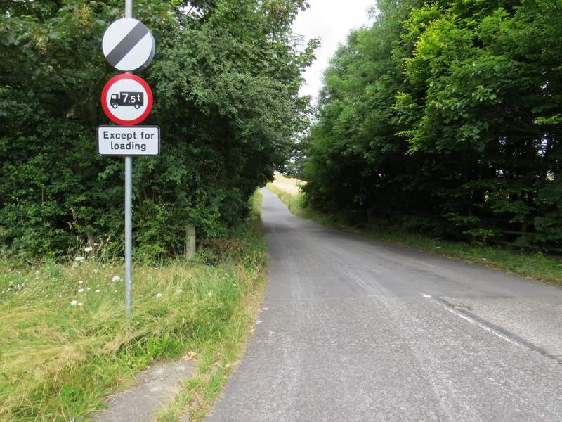
The road at Wellhead
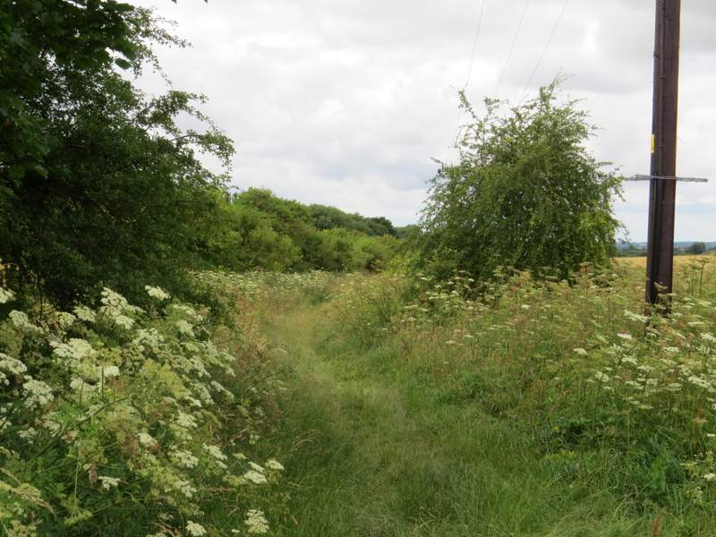
The path going left from Wellhead to Doolittle Mill
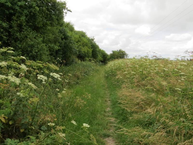
The path going left from Wellhead to Doolittle Mill
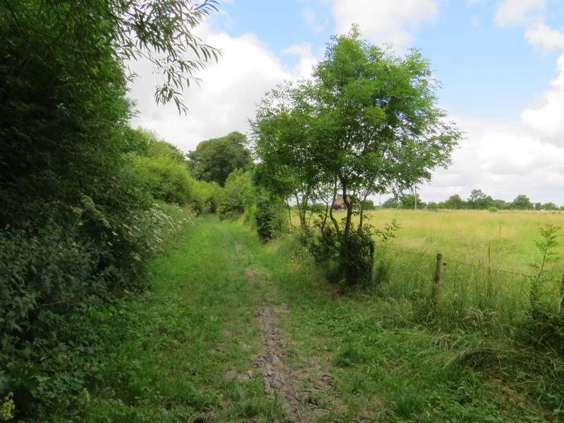
The path going left from Wellhead to Doolittle Mill