Pete's Walks- Cadmore End, Crowell Hill, Radnage (page 2 of 6)
If you are considering walking this route yourself, please see my disclaimer. You may also like to see these notes about the maps and GPX files.
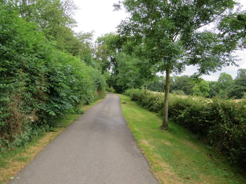
I was sheltered from the rain as I followed the path along the wooded valley bottom, and it stopped fairly soon anyway. I think this valley is called Twigside Bottom, at least that's the name on the OS map at about this point. Once the rain stopped, I started to see some butterflies including a Holly Blue (it seems to have been a good year for them). I was frustrated by seeing a large and bright orange butterfly which didn't settle or come very near me - I was fairly sure it was my first Silver-washed Fritillary of 2016 but couldn't be definite (the habitat was right, but it was also right for a Comma). Somewhere along here, the right of way leaves the track and follows a parallel path for a couple of hundred yards or so before rejoining the track but I must admit I failed to see where this happened and just stayed on the track. I saw more Dark Mullein again in several places, as I followed the path and valley through what was now Penley Wood.
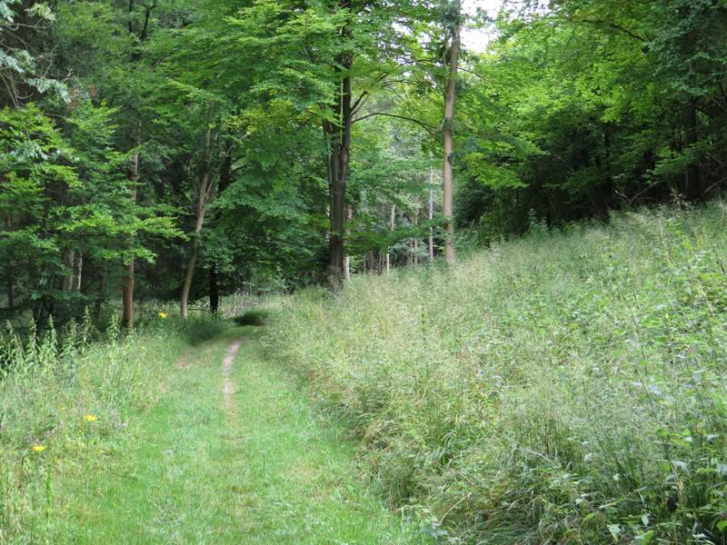
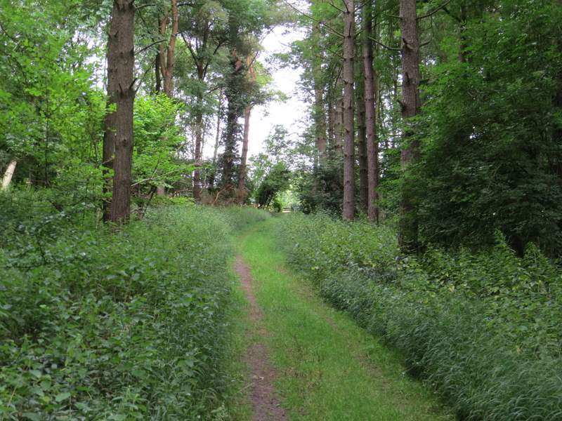
The footpath through Twigside Bottom
The footpath through Twigside Bottom
The footpath through Twigside Bottom
The footpath through Twigside Bottom
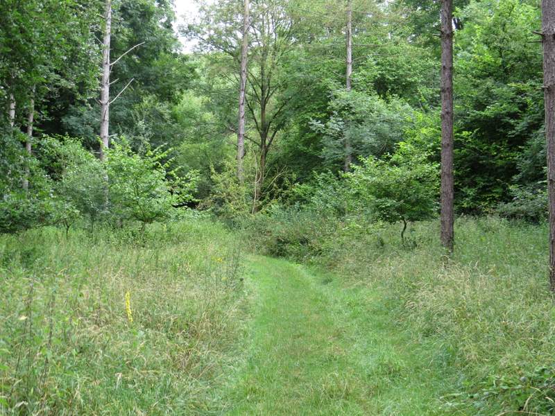
The footpath through Twigside Bottom (the yellow 'spike' in the grass to the left of the path is Dark Mullein)
The footpath through Twigside Bottom
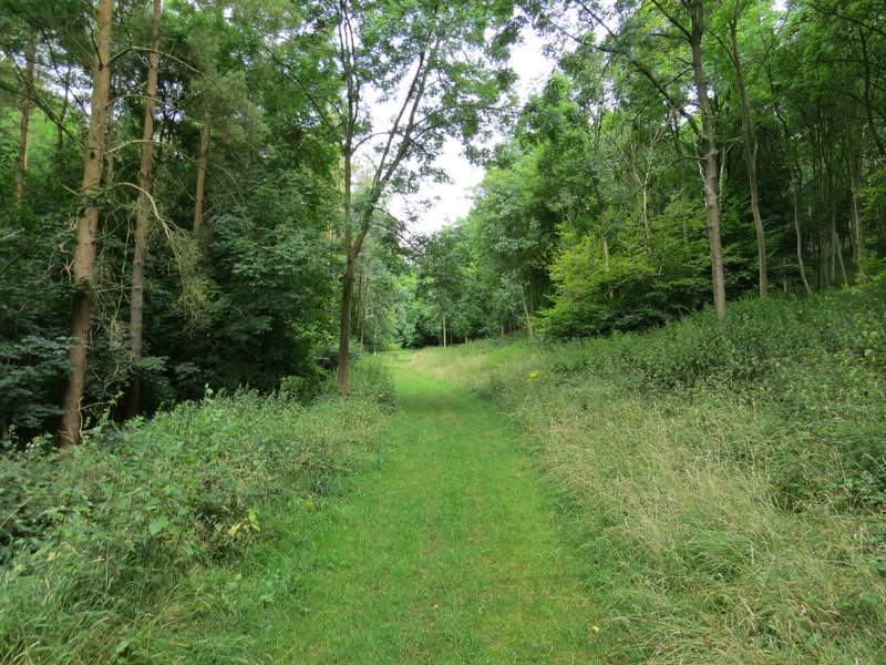
The footpath through Twigside Bottom, approaching the northern edge of Penley Wood
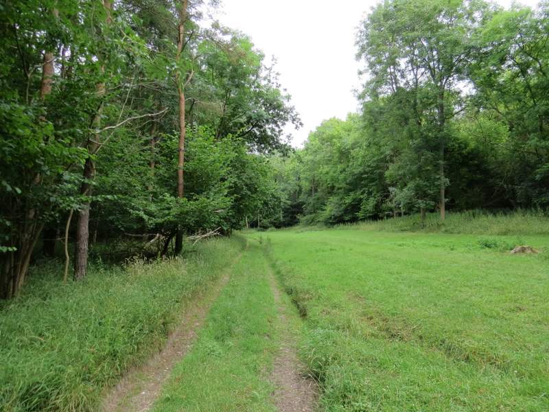
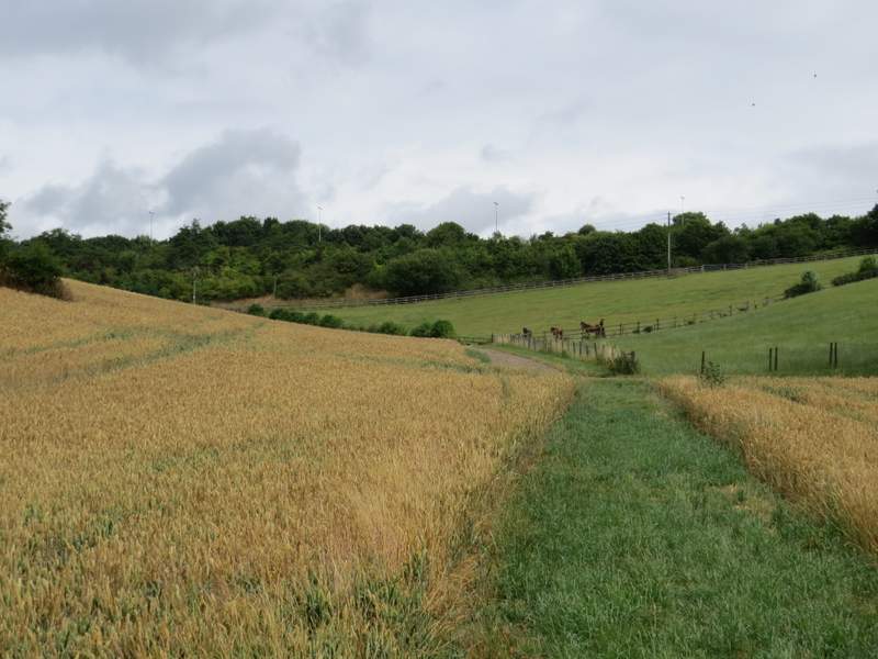
Eventually the path left the wood, but continued along the valley bottom as it crossed a large corn field. The path then carried on along a farm track, but just before reaching Coopers Court Farm it turned right along the farm drive to go under the M40 and on into Stokenchurch. I went straight on along a street and continued straight on to reach the main road through Stokenchurch (the A40). I crossed over and took a road almost opposite (I was pleased to see a shop called 'Flaming Grate' was still there - good name for a shop selling fires and wood-burners!). I followed the road as it turned right (becoming Church Lane, I think) and then I turned left by a pub.
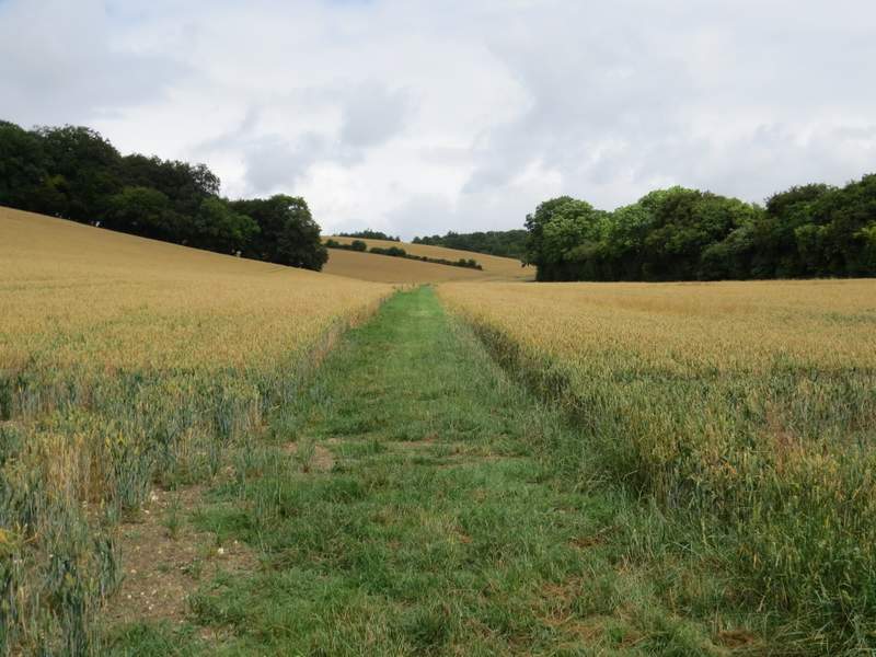
The path continuing towards Coopers Court Farm, Stokenchurch
The path continuing towards Coopers Court Farm, Stokenchurch
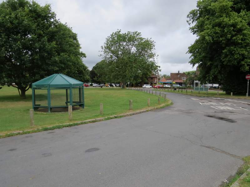
Stokenchurch
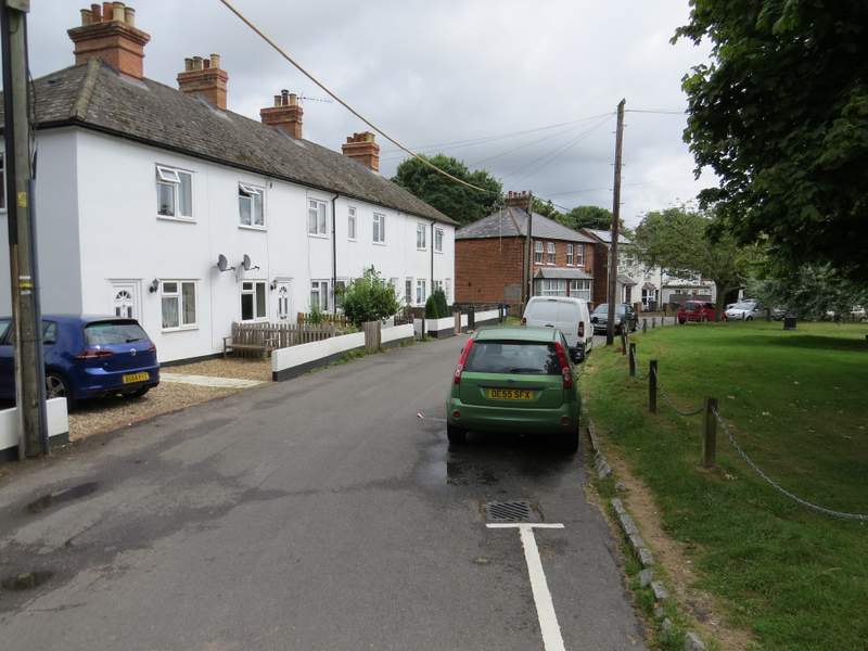
Church Road, Stokenchurch
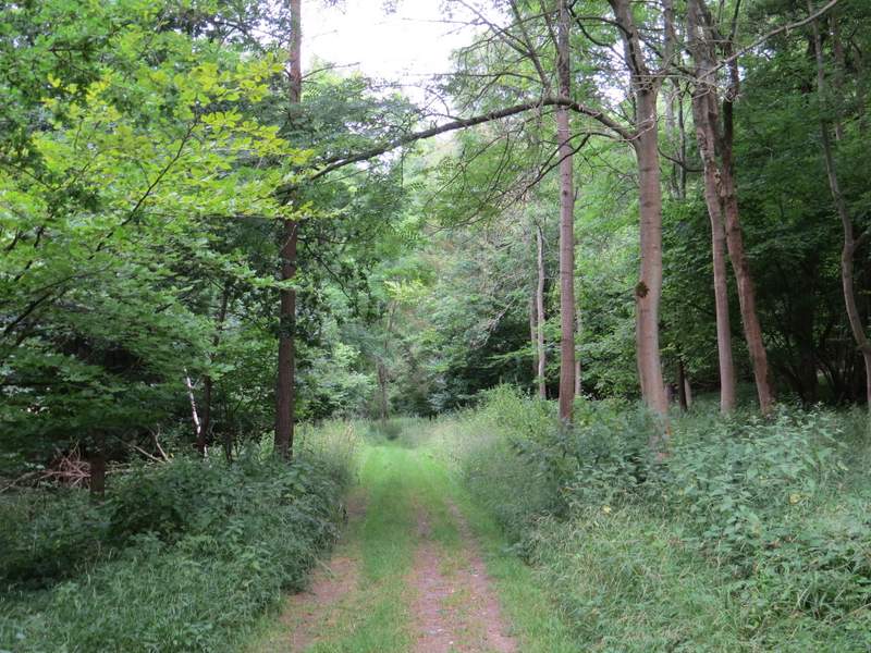
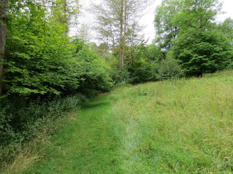
I was soon out of Stokenchurch, following a private drive that took me past the entrance to a property called Mallard's Court. A little past this I took a footpath going left. This went past a shed on my right, then followed a track for a few yards, before continuing through a very overgrown meadow or piece of waste ground - my trousers got soaked by the wet vegetation here. The path then entered a small wood, where I turned right at a path junction after a couple of hundred yards or so, and descended through the wood to reach the drive and entrance to Hallbottom Farm.
The private drive past Mallard's Court
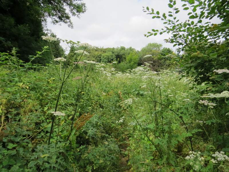
The slightly overgrown path near Mallard's Court
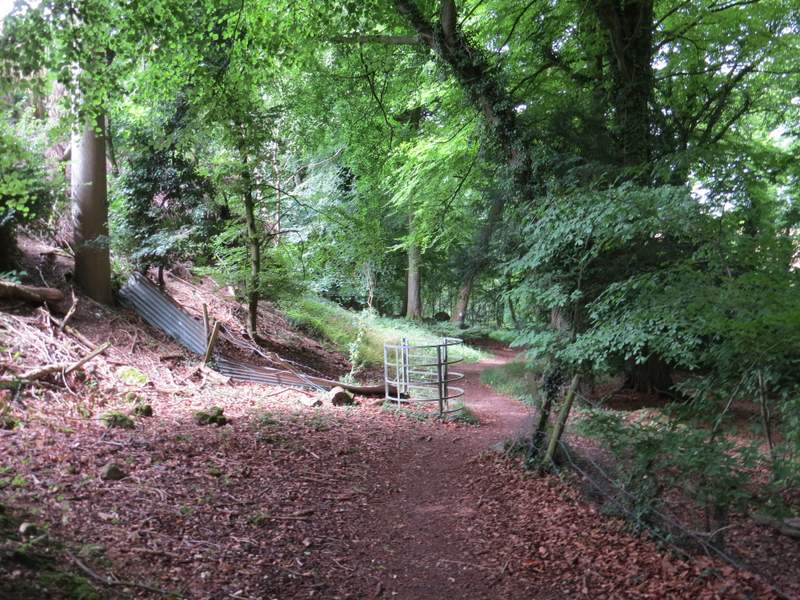
The path continues into this wood ...
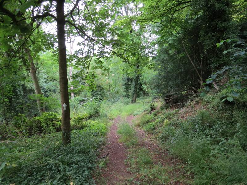
... then I turned right at a path junction that went down here towards Hallbottom Farm