Pete's Walks- Cadmore End, Crowell Hill, Radnage (page 1 of 6)
If you are considering walking this route yourself, please see my disclaimer. You may also like to see these notes about the maps and GPX files.
I did this walk of about 15 miles on Friday, 29th July, 2016. It was a repeat of a walk I did in October 2011, but with a slight variation near the start (I did this variation mainly to walk some paths I'd only walked once before in the opposite direction). I've shown this variation as Alternative 1 on my Google map.
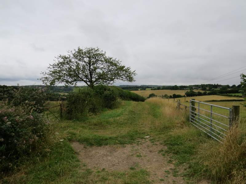
I parked beside a lane that starts almost opposite the school in Cadmore End (Grid Reference SU 783927) and started walking about 10.15am. I followed the lane away from the main road, and shortly after passing the church on my left I turned right along a bridleway following a track. Soon there was a nice view to my left - I could see quite a distance, despite the very grey conditions. It had rained almost all the way as I had driven from my home to Cadmore End, and to be honest I was now in a pretty foul mood, cursing the weather man on BBC Breakfast who had shown the Chilterns staying dry all day while there where heavy showers to the north and south. The rain had stopped, but it was obvious from the skies that this was just a temporary reprieve and I wasn't at all sure that I'd do the whole of the walk I'd planned (I'm definitely a fair weather walker!). Because of this, I decided to do the variation to the route I just mentioned, so that if I did only do a rain-shortened walk at least I'd have done something new. So when the track started to curve left, I took a bridleway straight on through some trees (marked by white arrows) to a track where I turned right (this track joined the track I'd been on a few yards to the left, so it was a little curious that the bridleways didn't just meet where the tracks did).

The lane through Cadmore End
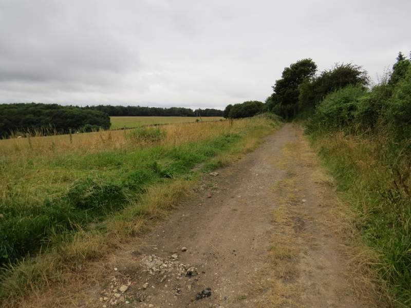
The track from Cadmore End
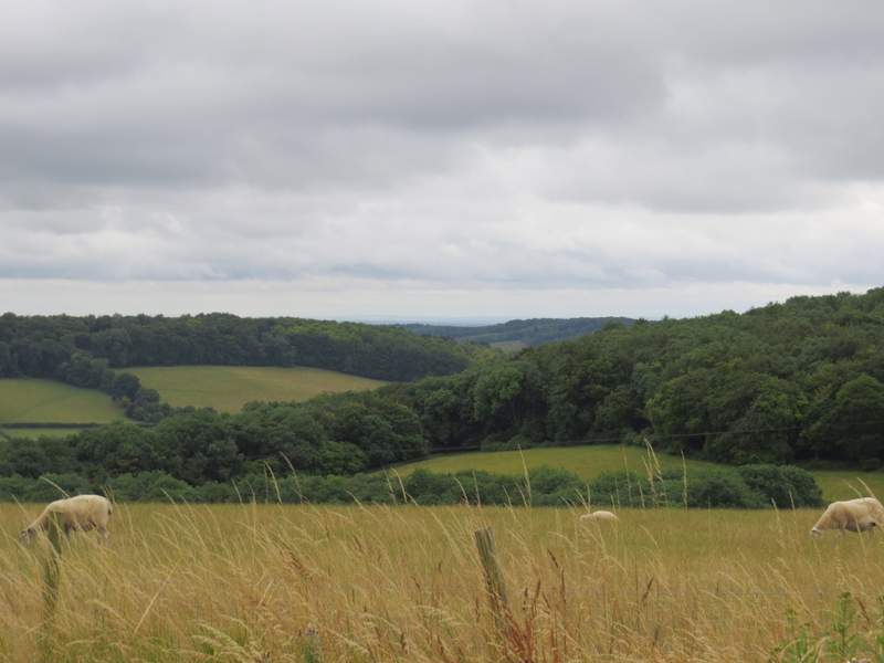
Looking left from the same spot as the previous photo
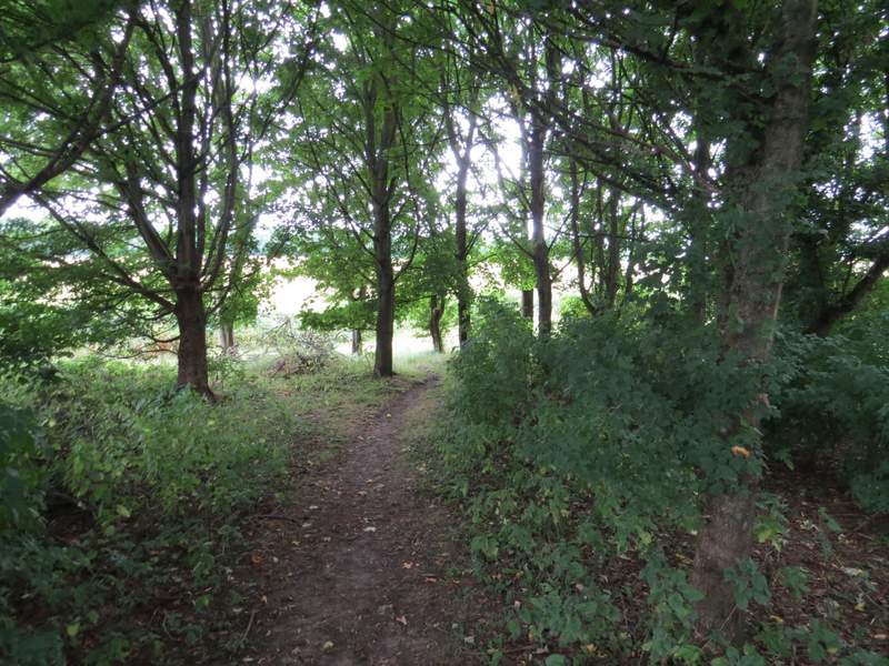
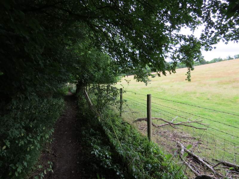
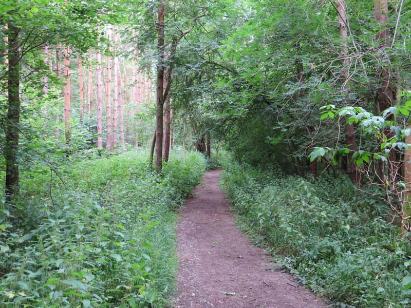
The start of the bridleway to Chequers Lane
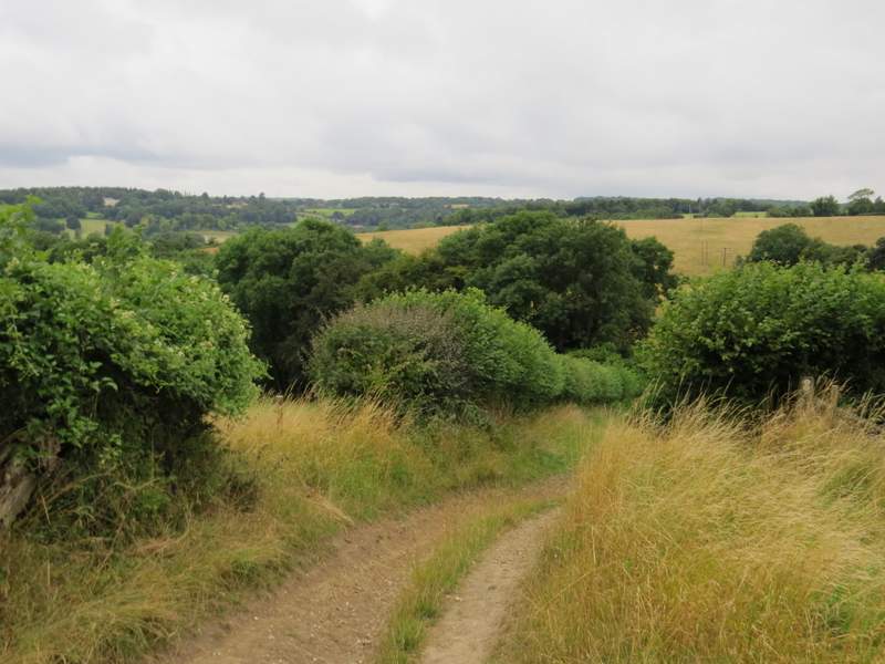
The track, which would eventually take me to Chequers Lane, initially ran between a fence on my right and a hedge on my left. After a while it started to descend - I'd forgotten how much it descended, I didn't recall this from the time I walked this in the other direction (on a foggy day in January 2015). It then turned left, to run just inside the edge of a wood (Hanger Wood, I believe from the OS map - my original route for this walk went through another part of this wood). I spotted some Nettle-leaved Bellflower growing here, and then much more of it just before the bridleway ended at Chequers Lane - I would go on to see it in many other places on this walk, far more than I'd ever seen it before on any of my walks..
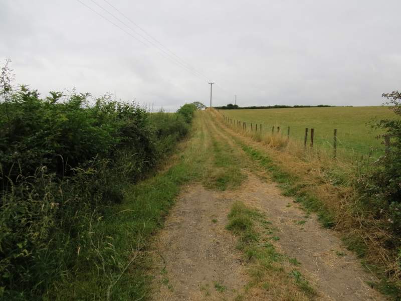
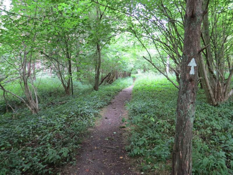
The bridleway to Chequers Lane
The bridleway to Chequers Lane
The bridleway to Chequers Lane
The bridleway to Chequers Lane (now on the northern edge of Hanger Wood)
The bridleway to Chequers Lane
The bridleway to Chequers Lane
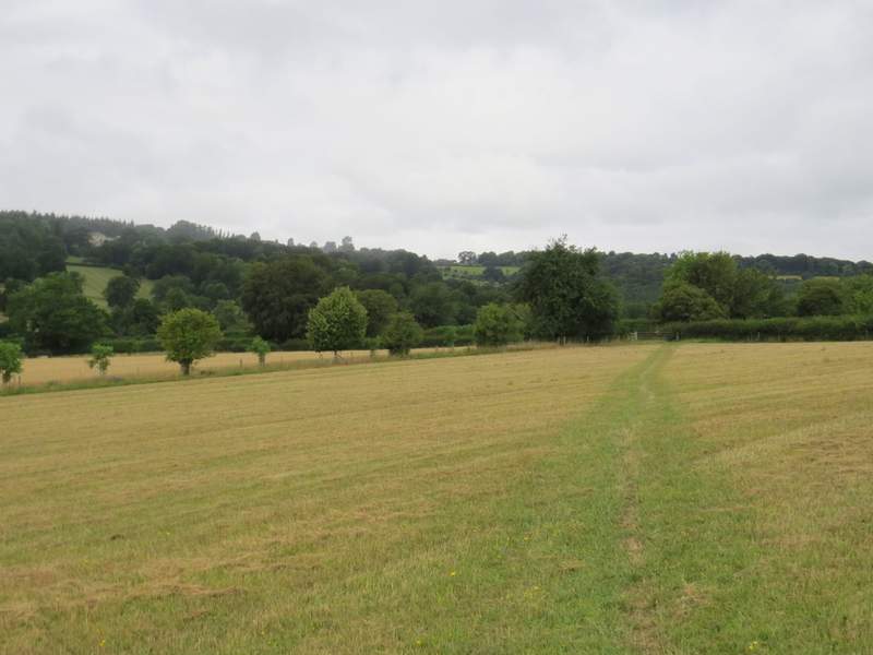
Across the lane I went over a stile and followed a footpath heading for the far corner of a mown meadow (the path here varies slightly from the OS map, which shows it entering the neighbouring field just before the field corner). As I was crossing this meadow the rain returned (and I resumed cursing the weatherman!). I was already wearing my rain-jacket, as it had been so obvious that the rain would resume, so I just continued across the meadow to a stile in the corner (near Harecramp Cottages, according to the OS map), then turned left along a track. I soon spotted some Dark Mullein growing here - again, I would go on to see it in more places on this walk than I have on any other walk.
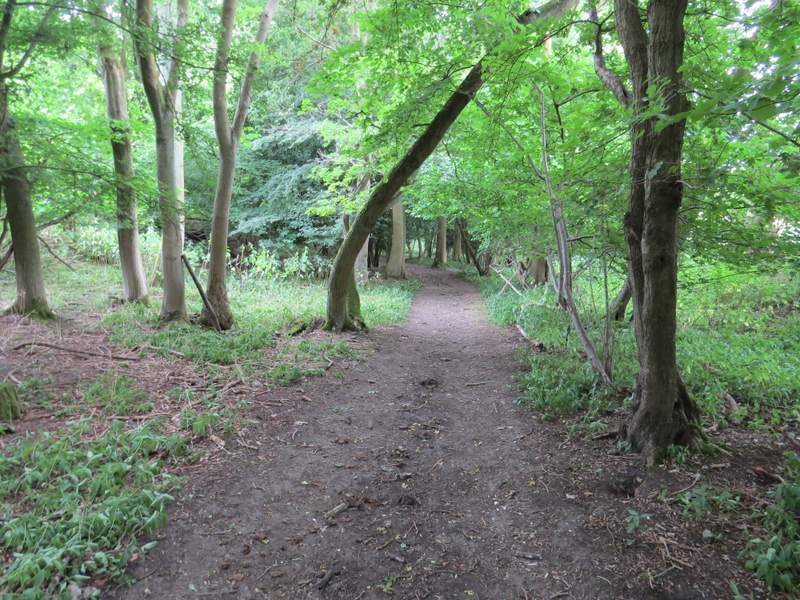
At the end of the track I turned right along a bridleway, running through a narrow belt of trees along a valley bottom - I'd now be following this valley northwards for about two and a half miles, to the edge of Stokenchurch. I soon spotted more Nettle-leaved Bellflower, and would see it many more times along this valley. After a little distance the tree belt broadened, and a few hundred yards further on I came to a junction where the bridleway went half-left but I went straight on along a footpath. This very soon crossed a track, and continued along the valley, now in a wood rather than a tree belt.
The path on the other side of Chequers Lane
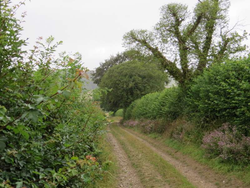
The path after I turned left by Harecramp Cottages
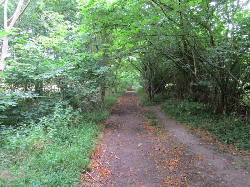
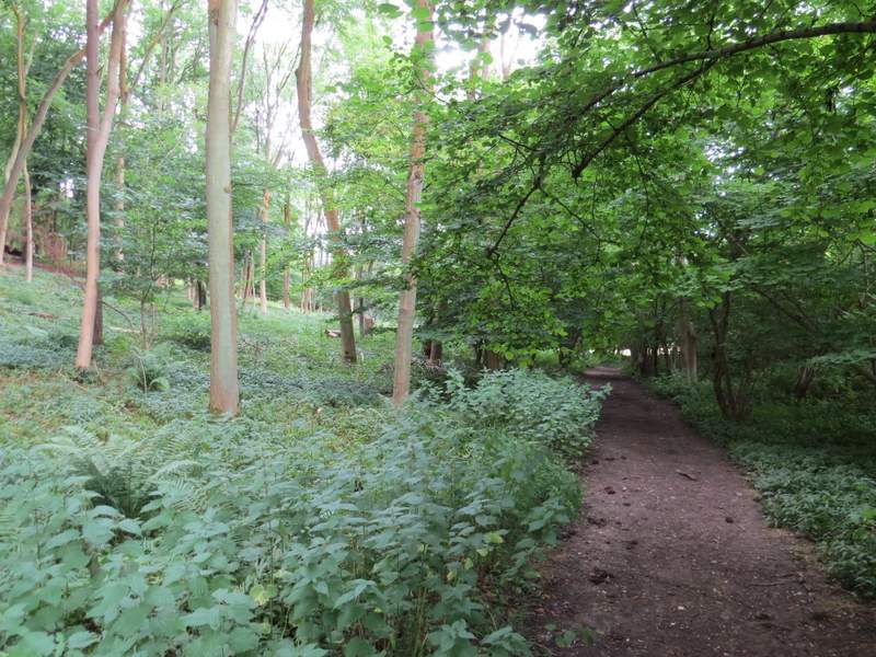
The bridleway through Twigside Bottom
The bridleway through Twigside Bottom
The bridleway through Twigside Bottom
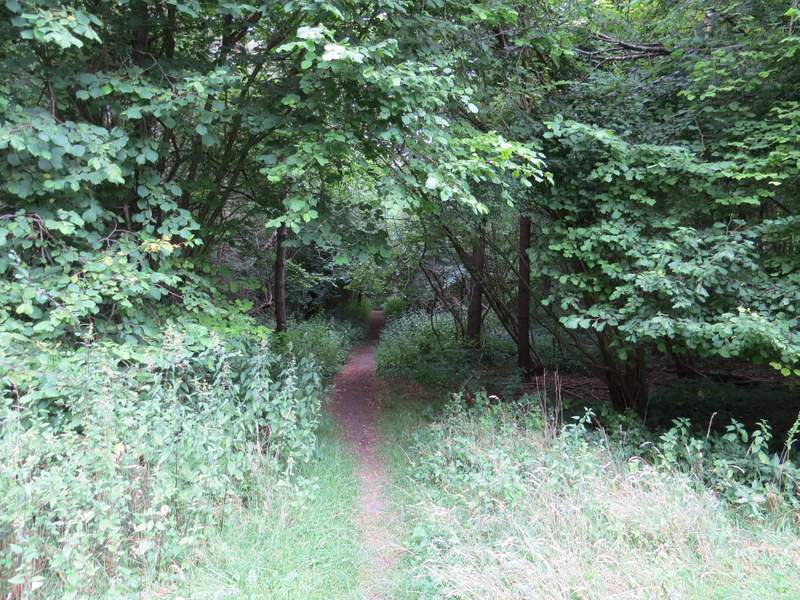
I think this is now the footpath through Twigside Bottom