Pete's Walks- Great Kimble and Bacombe (page 1 of 4)
If you are considering walking this route yourself, please see my disclaimer. You may also like to see these notes about the maps and GPX files.
Google map of the walkDownload GPX file of the walk
I did this walk of about 9.9 miles on Sunday, 11th September, 2016. It was a new route for me, but entirely on paths I'd used before on other walks.
When I left home, I had no definite plan of where I might go for a walk. I set out along my usual driving route, along the bottom of the Chiltern escarpment, thinking that I might start at Coombe Hill. But then I thought that the car park might be full (it was already a very pleasant Sunday morning), so I decided to go on a little bit further and start from the layby at Great Kimble (Grid Reference SP 825058) - the layby is just south of the church, on the other side of the road.
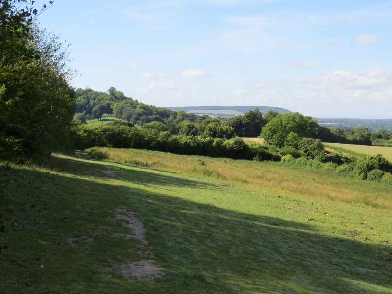
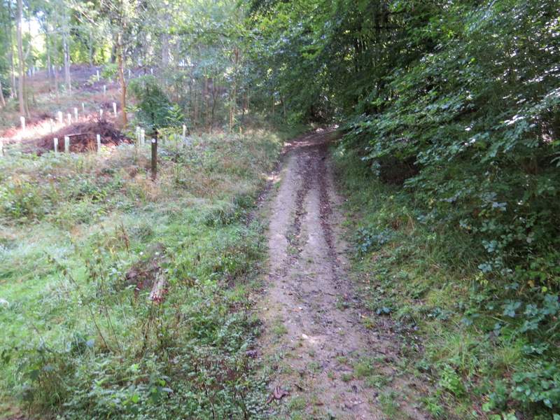
I started walking at about 11.05am, and took the bridleway that started at the northern end of the layby. This started as a drive but soon changed to a track with hedgerows either side. It headed southwest, and gradually went uphill. I passed a path junction on my left (that would be the way I'd come back) and then further on passed a gate where another path forked half-right (there was a nice view here). I continued straight on a little further, until I reached a fingerpost indicating where the Ridgeway went right.
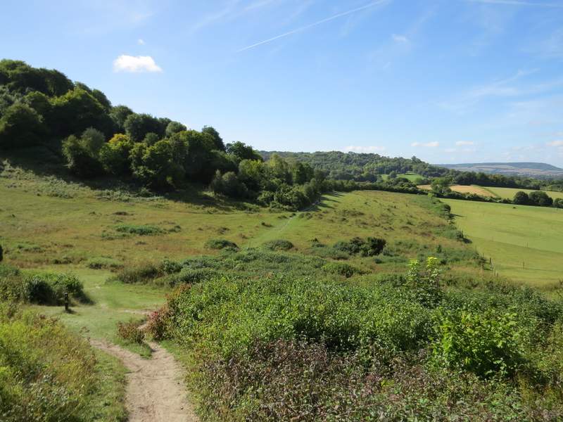
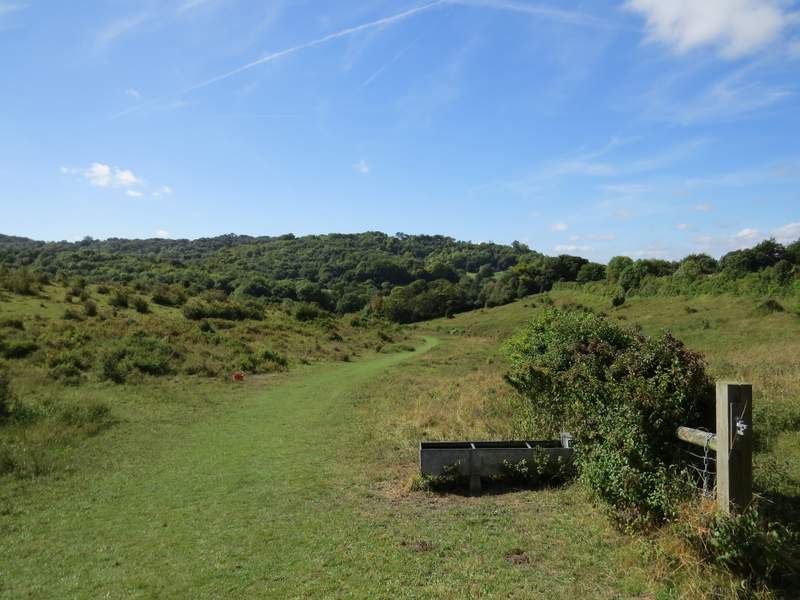
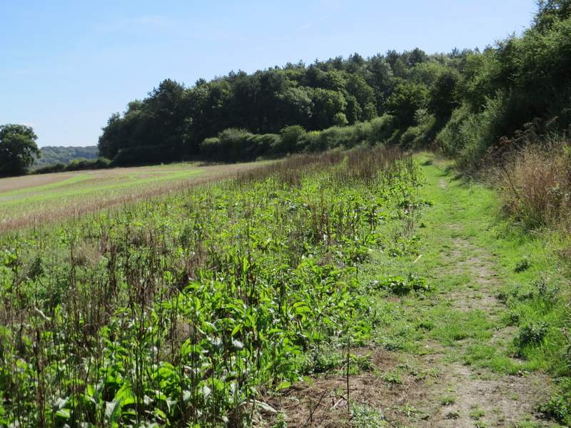
After passing through some bushes and then a kissing-gate, I reached a nice open area running across the foot of Pulpit Hill, which sloped up to my left. It was very pleasant following the Ridgeway across here, though not as nice as it would have been a few weeks ago when there would have been thousands of wildflowers on display. After a a while the Ridgeway went through a gate and continued straight on through the Grangelands and Pulpit Hill nature reserve, following a fence close by on my right. I carried on following the white acorn signs of the Ridgeway, which turned right and ran through some bushes next to a garden (on my right) to reach the road through Cadsden.
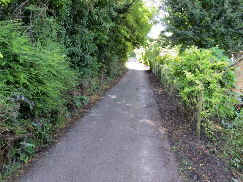
The start of the bridleway from the layby in Great Kimble
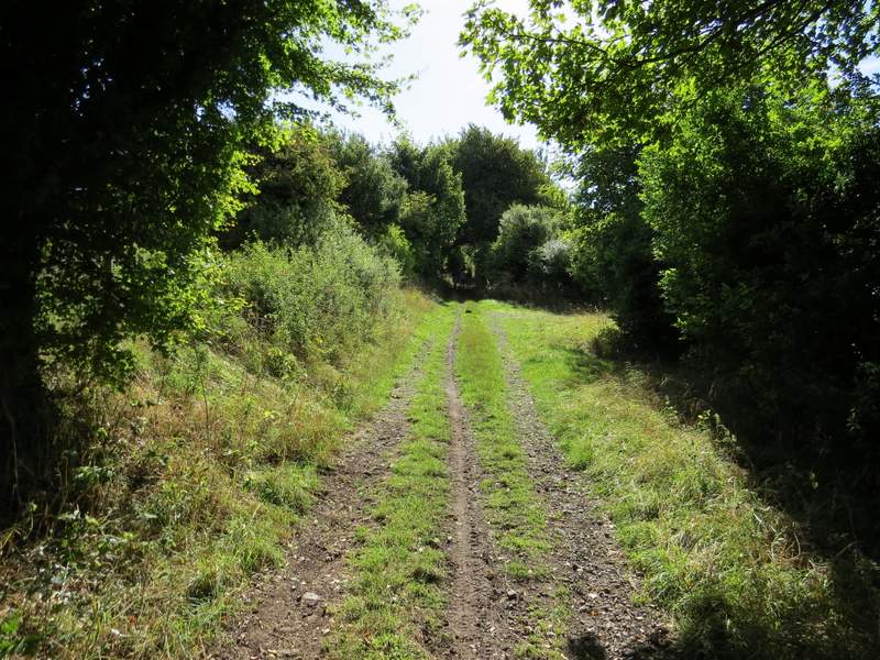
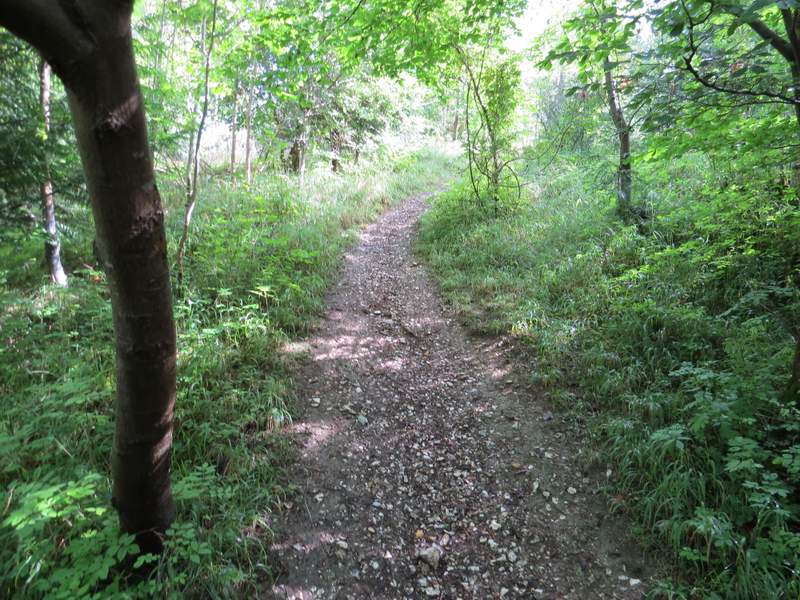
The bridleway from Great Kimble
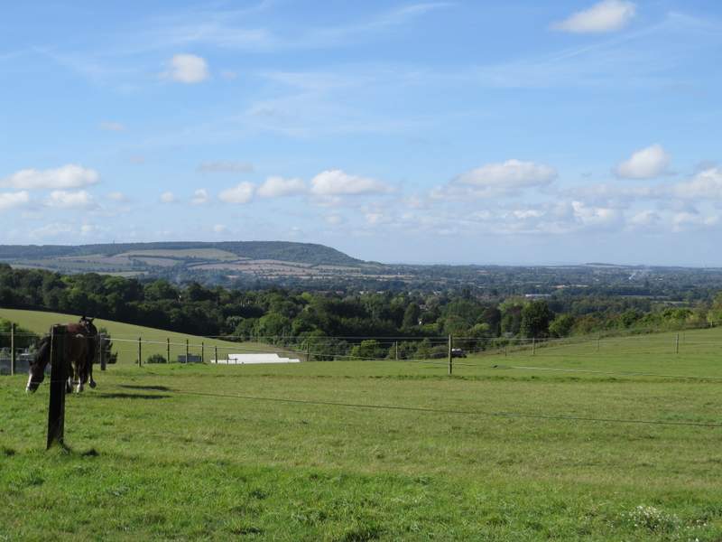
A view looking right from the bridleway from Great Kimble
The Ridgeway, after I turned right from the bridleway
The Ridgeway continuing past the foot of Pulpit Hill
The Ridgeway continuing through the Grangelands and Pulpit Hill nature reserve
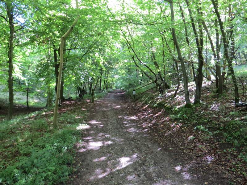
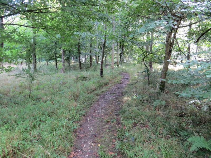
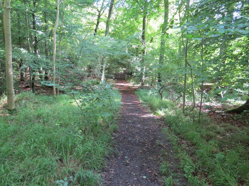
I turned left for a few yards, then forked right along the short side street to reach The Plough at Cadsden. I then took a footpath that started to the left of the pub's car park. The path followed a track through a wood, and soon brought me to a path crossroads where I turned left, following another track through the wood. After two or three hundred yards a waymark post on the right indicated where the footpath turned right from the track, and went uphill. I soon came to another waymark post where I turned left (a waymark incorrectly indicates that the public footpath goes straight on here, which threw me the only other time I've been here - I reported it to the Rights Of Way department at Bucks County Council but they didn't even have the courtesy to reply). The path now soon levelled out as it progressed through Ninn Wood.
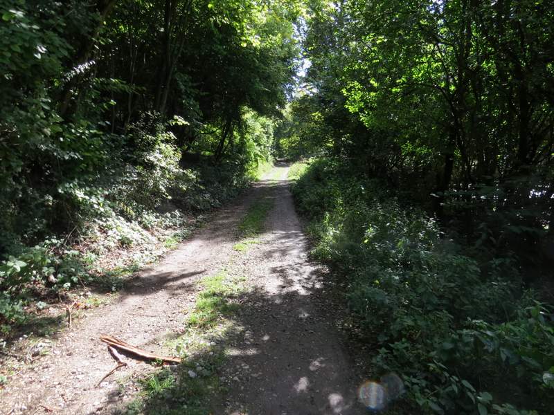
The footpath from the car park of The Plough at Cadsden
The path after I went left at a path crossroads
The path after it turns right off a track
The path after it turns left at an apparent path junction (the footpath waymark still incorrectly points straight on)
Further along the path, in Ninn Wood
The path now coming to the path crossroads near the edge of Ninn Wood
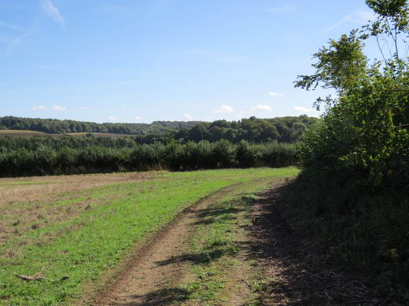
On the far side of the wood, the path crossed a bridleway and then soon reached a field, where it followed a hedgerow on the right, with a view ahead of me along the valley of Hampden Bottom. In the next field the path continued beside a wood called Cross Coppice on my right. Eventually the path reached a surfaced drive coming from a property called Solinger House - I followed the drive straight on to reach the minor road that runs through the valley.
The path continuing eastwards from Ninn Wood
The path continuing eastwards from Ninn Wood
The path continuing eastwards from Ninn Wood
Where the path joins the drive from Solinger House