Pete's Walks- Cholesbury, Chesham, The Lee (page 1 of 6)
If you are considering walking this route yourself, please see my disclaimer. You may also like to see these notes about the maps and GPX files.
I did this circular walk of about 13.8 miles on Wednesday, 26th October 2016. It was a repeat of a walk I did in February 2011, but starting at Cholesbury rather than Buckland Common (simply because the small car park at Buckland Common has been full the last two times I've wanted to use it).
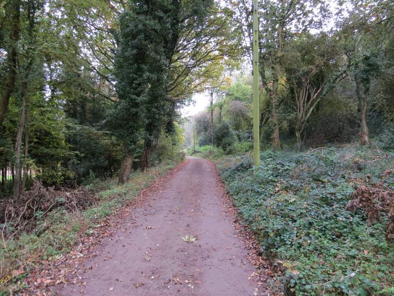
I parked by the cricket pitch at Cholesbury (Grid Reference SP933071). I walked down the road with the cricket pitch on my left, then turned left opposite where a road called Rays Hill started on the right. I went across a grassy area of Cholesbury Common, then followed a wide grass strip between trees that went downhill into a valley bottom. Here I turned right along a footpath (which was following the boundary between Hertfordshire and Buckinghamshire). I followed the footpath along the valley bottom for about half a mile until I reached a lane. Here I went a few yards left, then took a footpath on the other side, continuing along the valley bottom (II think this was now Hawridge Common, but the way it's printed on the OS map this is a place name, whereas Cholesbury Common is the name of the common). After a while the path joined a drive, and then further on a lane. Within a short while I then came to a lane junction, where I turned right but then immediately took a footpath starting on the right. This led uphill through a wooded part of the common, and soon brought me back to the road (the one I'd parked along).
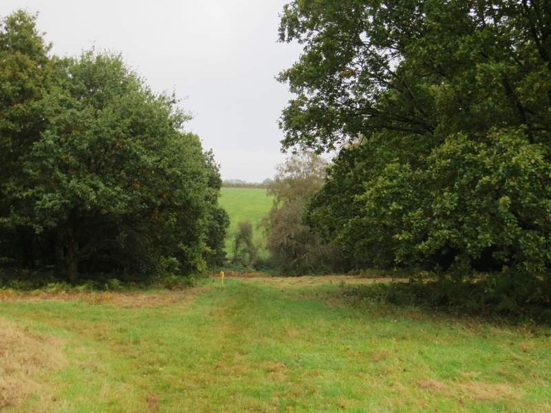
The start of the path on Cholesbury Common (opposite the junction with a road called Rays Hill)
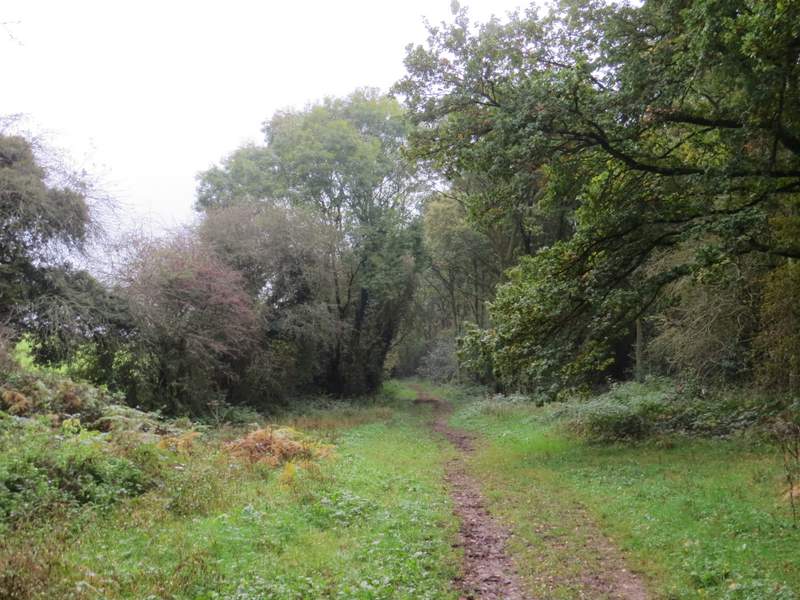
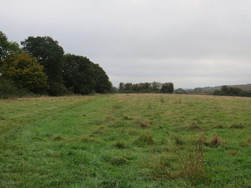
The path along the bottom of Cholesbury Common
The path along the bottom of Cholesbury Common
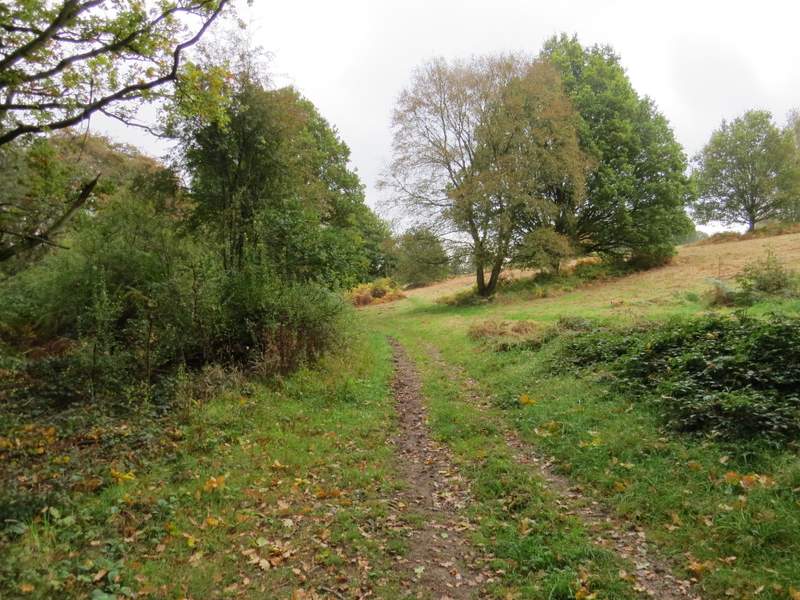
The path along the bottom of Hawridge Common
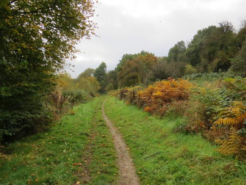
The path continuing towards Vale Farm
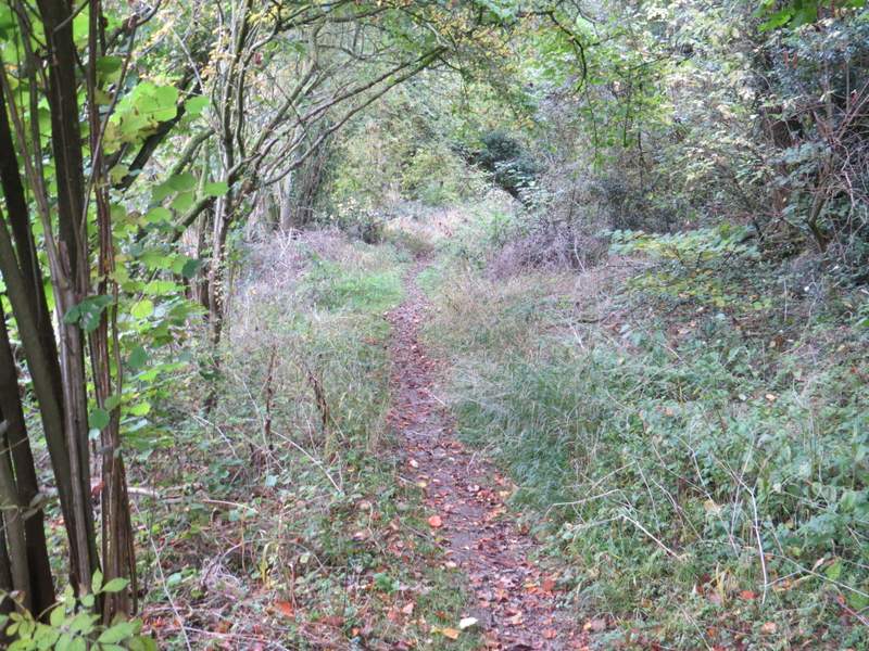
The path through Hawridge Common, after I turned right near Vale Farm
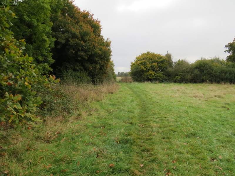
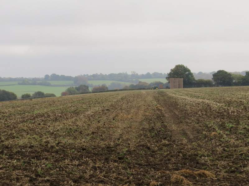
I crossed the road and went down a short lane that took me past Hawridge church on my left. At the end of the lane, a footpath went right (with the grounds of Hawridge Court to my left). This soon brought me to a meadow, where I followed the path to the left and continued across another meadow - I was now walking a long ridge going southeast, with the valley of White Hawridge Bottom to my right. The path then crossed a huge ploughed field - on the far side a farmer in a tractor was moving bales of hay, with a friendly dog keeping him company. The next field was very similar, sloping down to the valleys either side. On reaching the next field (another ploughed one), the path turned left and then right in the field corner, following the hedgerows. Eventually I reached a path junction where I went left, then immediately right, dropping downhill to reach a roughly surfaced track in White Hawridge Bottom.
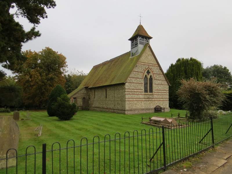
Hawridge church
Near the start of the path going southeast from near Hawridge Church
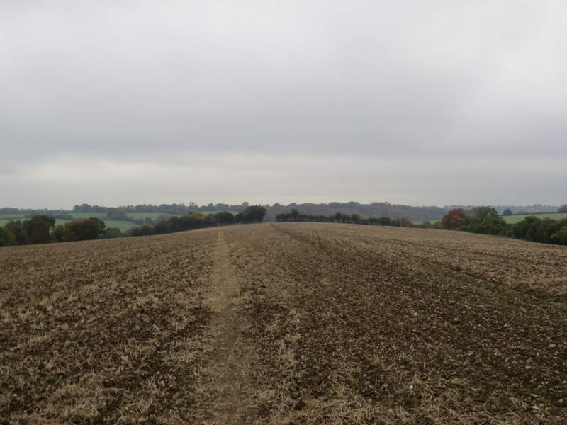
The path going southeast from near Hawridge Church
The path going southeast from near Hawridge Church
The path going southeast from near Hawridge Church (yes, the path did correct itself and end up at the gap in the hedgerow!)
View ahead from where the path turns left, then turns right to follow the hedgerow
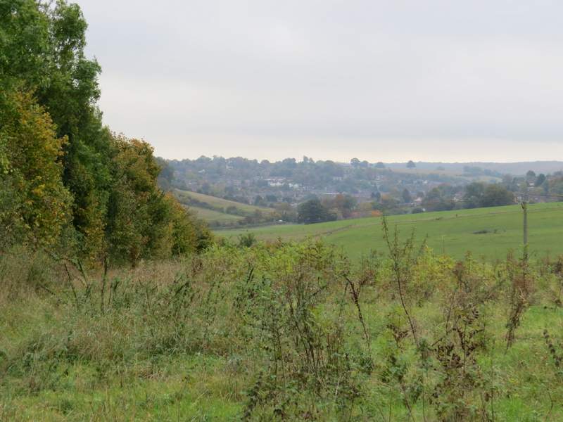
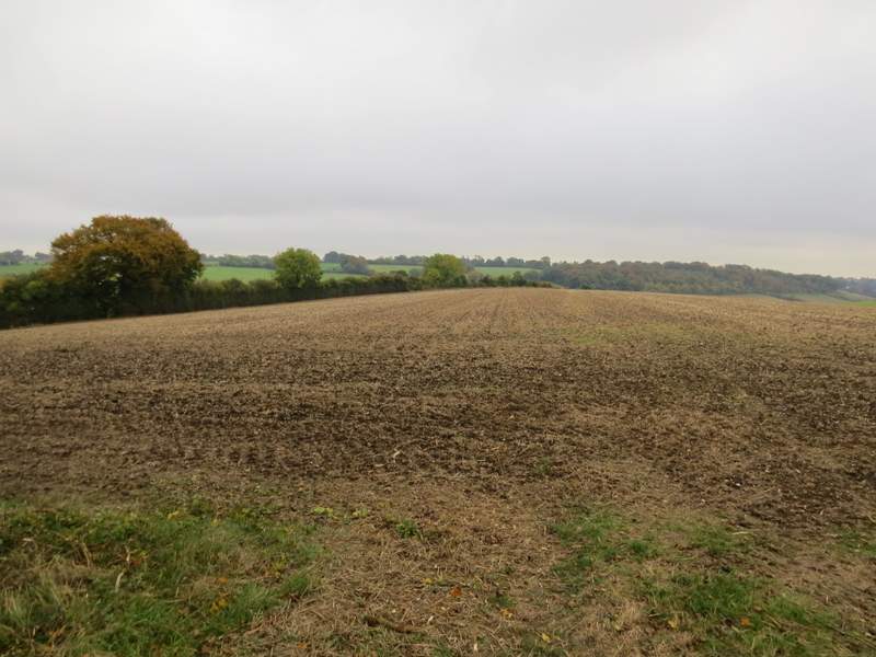
The path going southeast from near Hawridge Church, part of Chesham in the distance
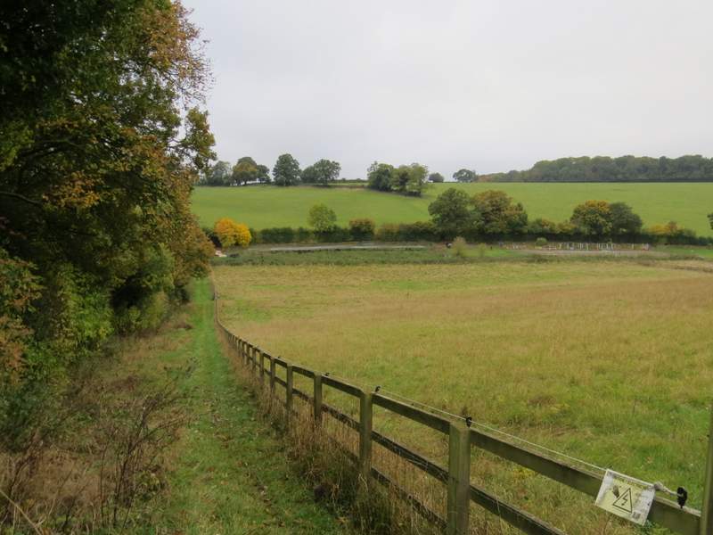
The footpath after I turned left then immediately right, descending into White Hawridge Bottom