Pete's Walks- Cholesbury, Chesham, The Lee (page 2 of 6)
If you are considering walking this route yourself, please see my disclaimer. You may also like to see these notes about the maps and GPX files.
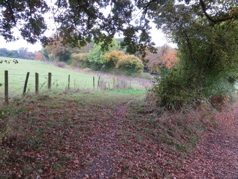
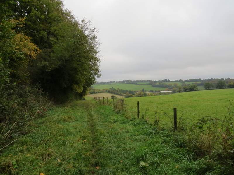
I turned right along the track - there used to me an ostrich farm here, but sadly all I saw today was a few horses. Just before the track turned left, I took a footpath going left - this went uphill, initially on the other side of a hedgerow from the track, then beside part of Ramscoat Wood. At the top of the slope, the path continued for a short distance through the wood, then continued along a track. When this ended at a T-junction of tracks I turned left, now with the fences of some properties in Great Hivings (I think, unless this is part of Bellingdon) on my right and some enclosures and paddocks to my left.
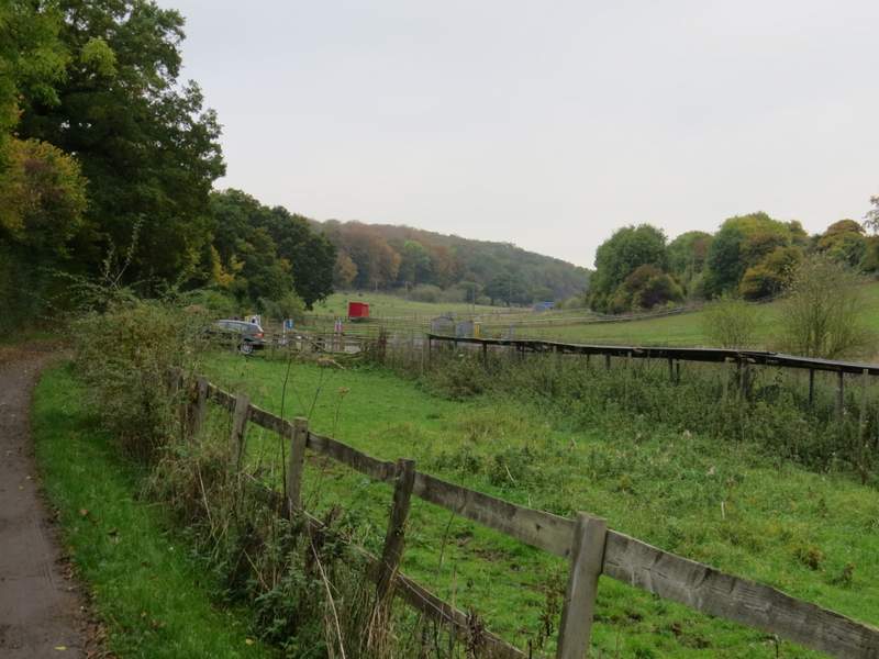
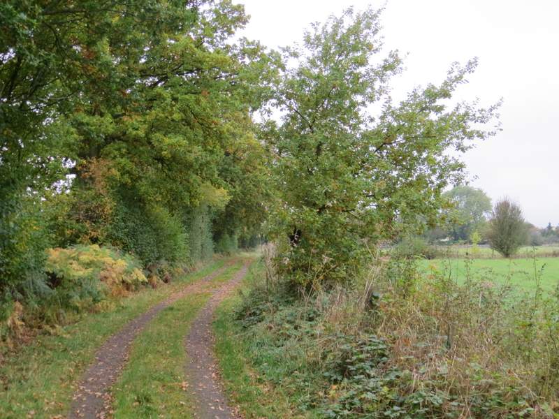
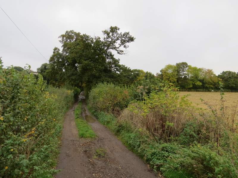
The byway through White Hawridge Bottom, past the former Ostrich farm
The start of the path going left from the byway in White Hawridge Bottom
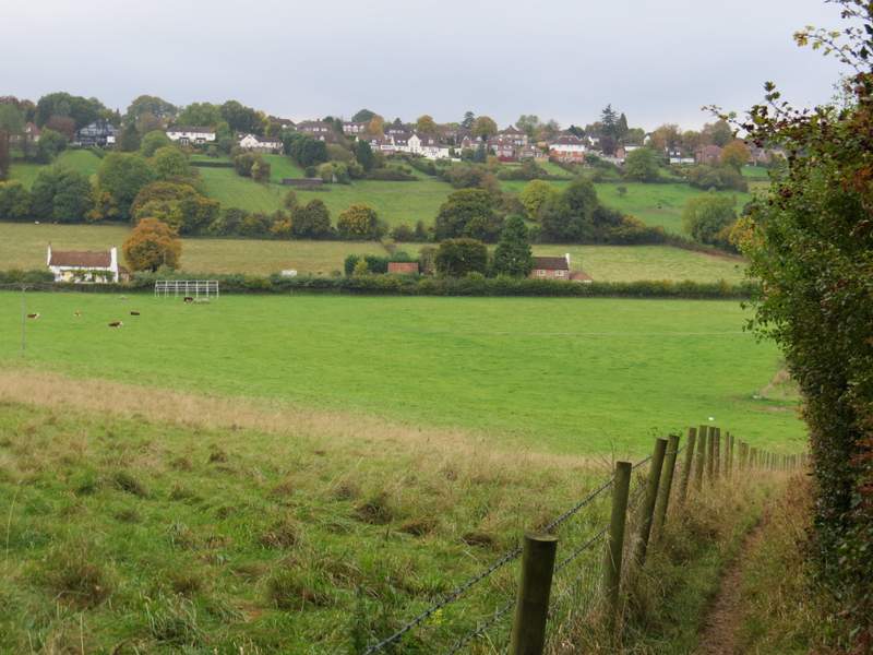
Looking back over White Hawridge Bottom, from the edge of Ramscoat Wood
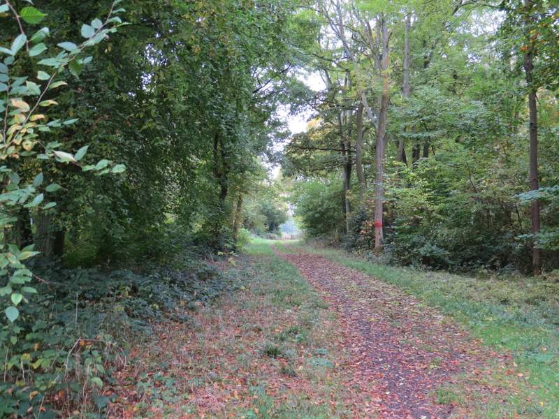
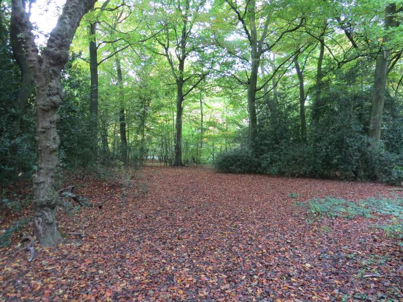
The path continuing through Ramscoat Wood
The path continuing from Ramscoat Wood towards Great Hivings
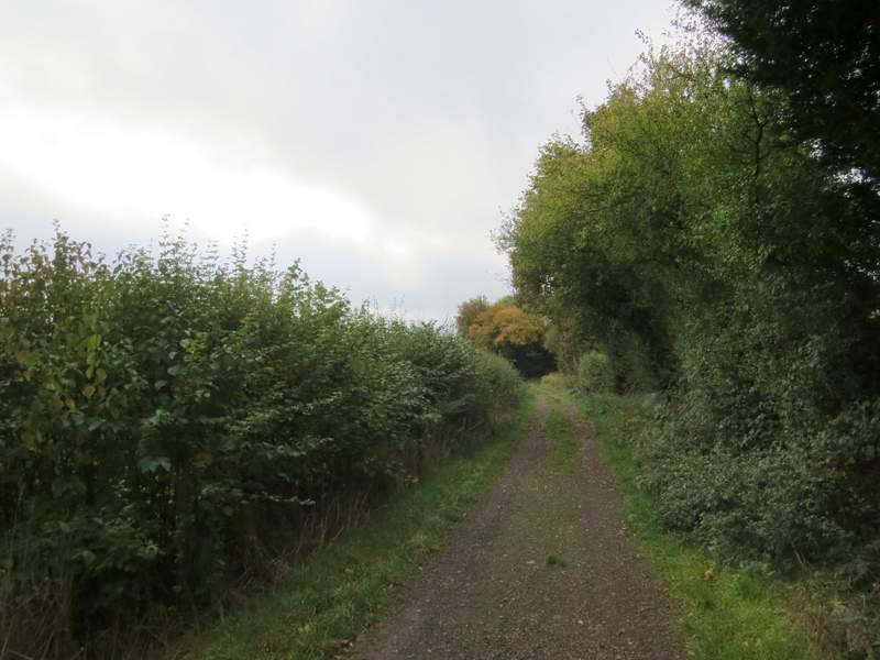
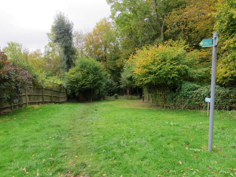
The track along the edge of Great Hivings
At the end of the track, I crossed a road and went down the drive to Mount Nugent farm on the other side. Just before the drive turned left, the public footpath went through a sequence of gates on the right and continued straight on between a wooden fence and a hedge on the right to reach Captain's Wood. A few yards into the wood I turned left, then turned right after a couple of hundred yards or so at the next path crossroads. This path dropped downhill through the wood, merging with a bridleway just before leaving the wood. The bridleway continued downhill between a fence and a hedge. then carried on along the drive from Hazeldene farm. Across a minor road, I continued down a track named Buslins Lane. This almost immediately turned left, then after a short distance turned right. After 300 yards or so it turned left again, going quite steeply uphill to reach a road on the edge of Chesham (going to Chartridge, to my right).

The path to Captain's Wood, near Mount Nugent Farm
The path going downhill through Captain's Wood
The bridleway descending from Captain's Wood
Buslins Lane
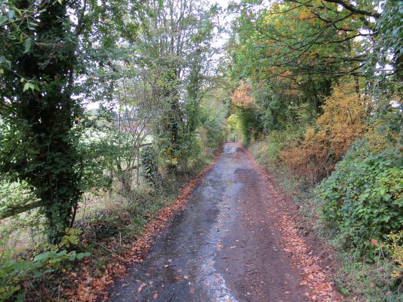
Buslins Lane
Buslins Lane
I turned left along the road, and followed it for about half a mile. It turned right and then just after it turned left I took a footpath on the right. This started down a drive, then crossed a small area of grass before going left, between garden fences on my left and another fence on my right.
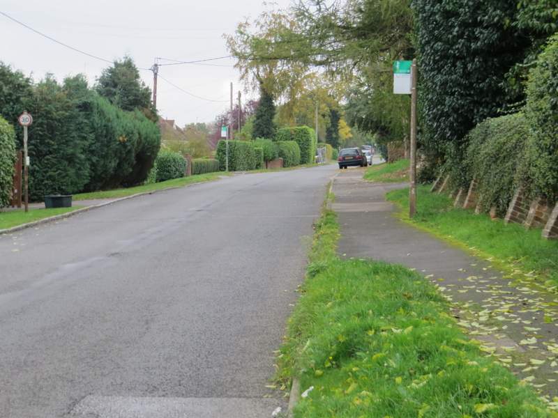
The road on the outskirts of Chesham
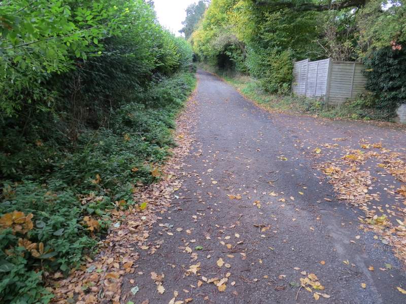
Near the start of the path from the road in Chesham
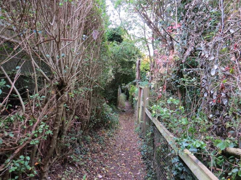
The path continuing along the bottom of some gardens