Pete's Walks- Circular walk from Ewelme (page 1 of 5)
If you are considering walking this route yourself, please see my disclaimer. You may also like to see these notes about the maps and GPX files.
I did this circular walk of about 15.3 miles on Saturday, 5th November 2016. It was a repeat of a walk I did in April 2011 (which I walked in the opposite, clockwise, direction in January 2012).
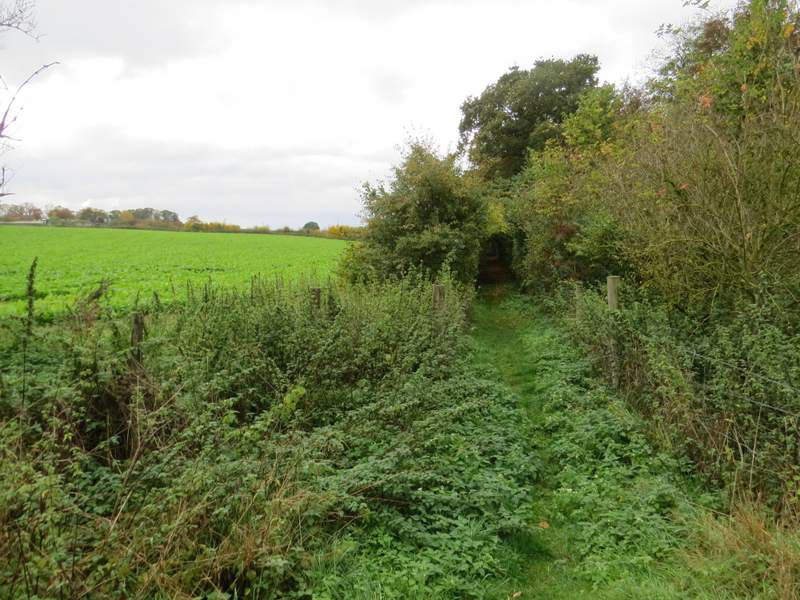
I started walking about 11.20am, from the car park by the sports field in Ewelme (grid reference SU 648912) - it was another grey day, but at least it wasn't misty or drizzly like my previous walk had been. I walked to a corner of the sports field, then turned left to reach the next corner (I was on the route of the Chiltern Way, and would be following the fingerposts and waymarks of that route for the first few miles, as far as Woodhouse Farm). I went through a gate into a corner of a huge field called Cow Common (it's named on the OS map, which is unusual) - the cattle were all crowded into this corner, but I had no trouble getting through them and continuing uphill beside a hedge on my right. The path ended at a road, where I went a few yards left and went down a bridleway, following three horse riders. There was a landfill site to my right as I walked along here. When I reached a lane, I went a few yards right and continued along another bridleway, following a hedge-lined track named Potters Lane. After about half a mile I came to a junction by some farm buildings, and took a footpath going half-right to Potter's Farm. I continued just past the farm to a crossroads of tracks or drives, where I turned right and soon reached a minor road.
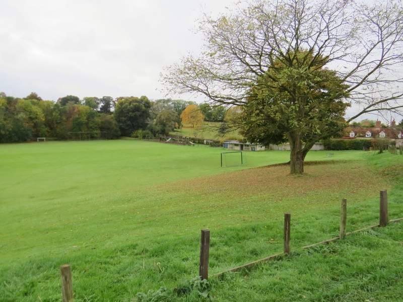
The sorts field at Ewelme - the path leaves the far corner
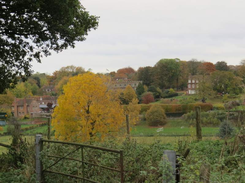
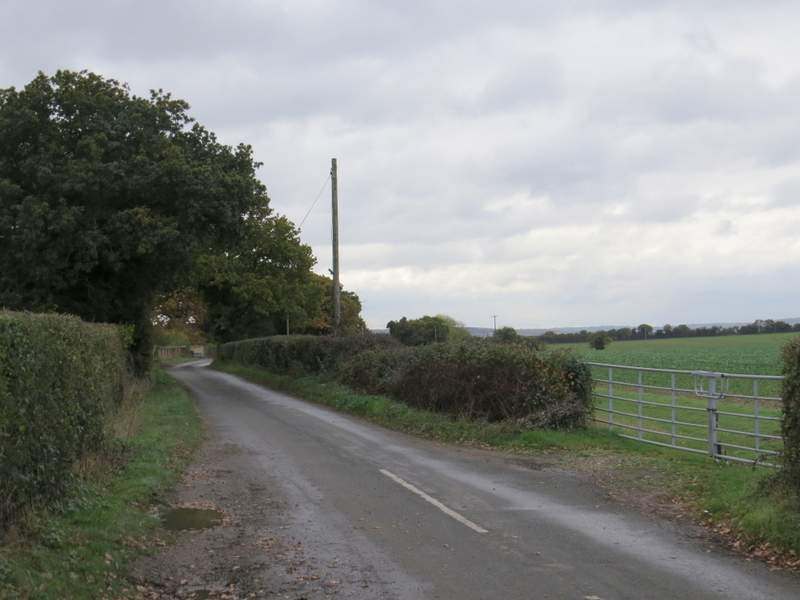
Looking back to Ewelme, from where the path reaches a road
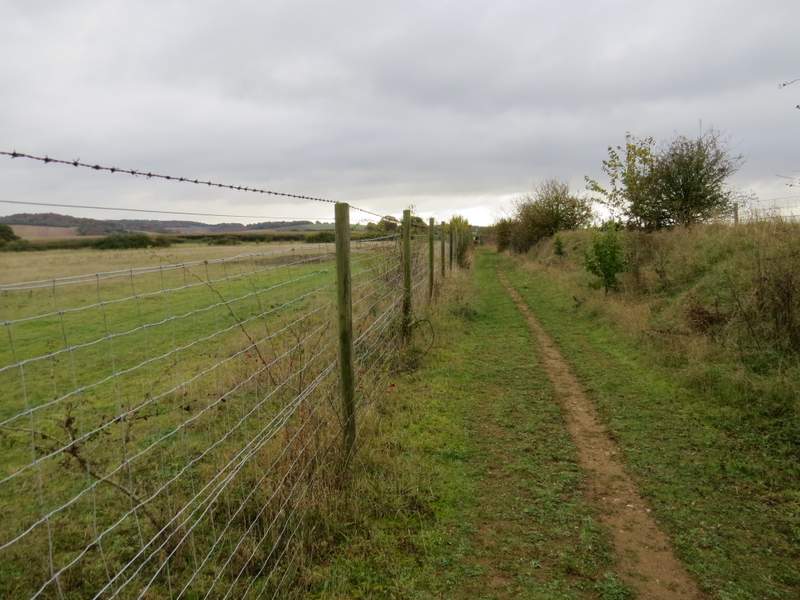
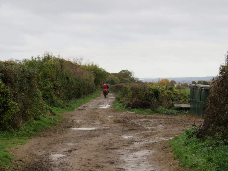
The bridleway past the landfill site
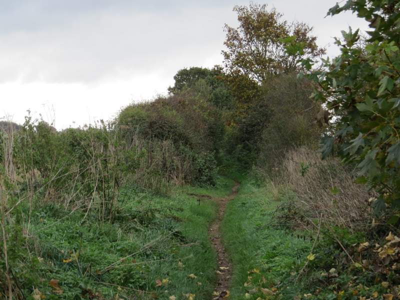
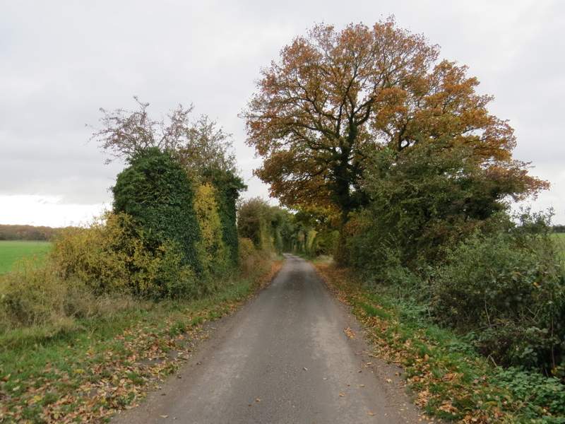
Near the start of the bridleway called Potter's Lane
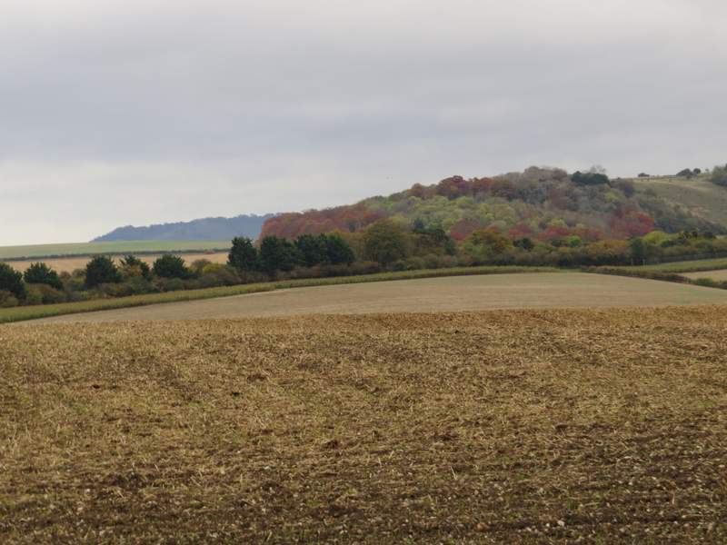
Zoomed in shot of Swyncombe Downs, from Potter's Lane
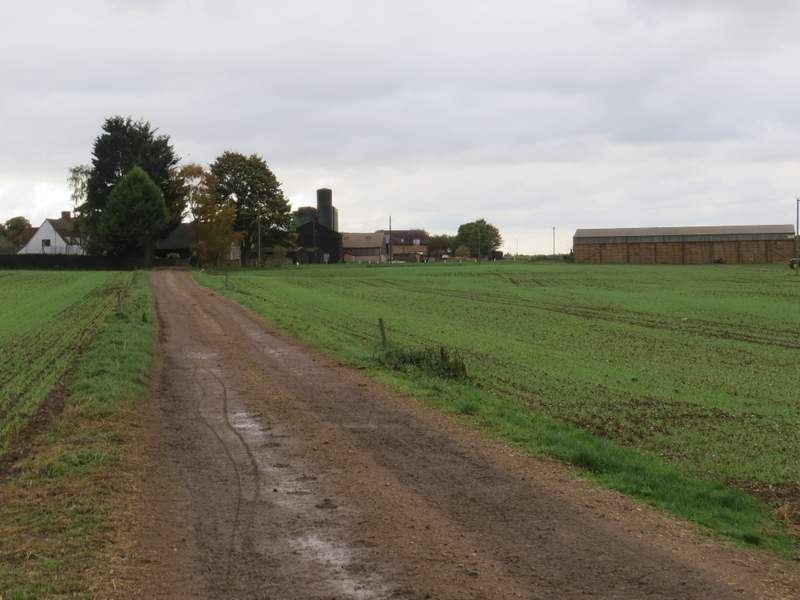
The bridleway approaching Potter's Farm
Bridleway near Potter's Farm
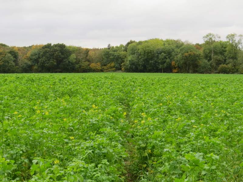
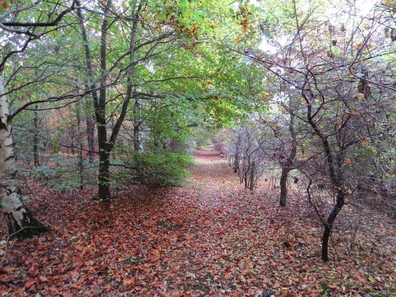
Across the road a footpath started, following a fence on the left beyond which was a scrap merchants (at least there were numerous piles of old vehicles there). The path turned right then left, then carried on to reach a field, which I continued across (it seemed to be full of Charlock, which is a weed, but it was so abundant here it was as if it was being grown as a crop - I've probably misidentified it). On the far side of this field I reached Oakley Wood, where I went straight on, and on the far side of this wood I reached the A4130 main road.
The footpath to Oakley Wood
The footpath to Oakley Wood
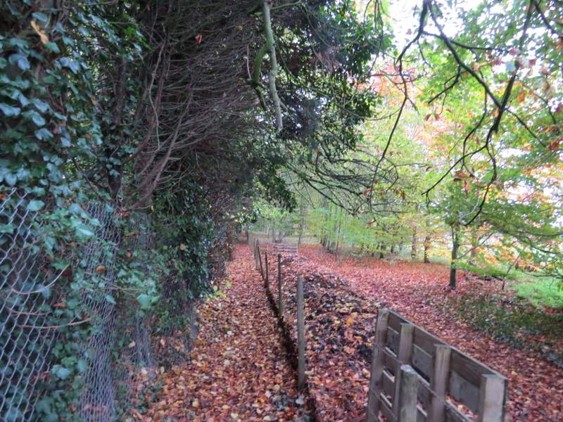
Oakley Wood
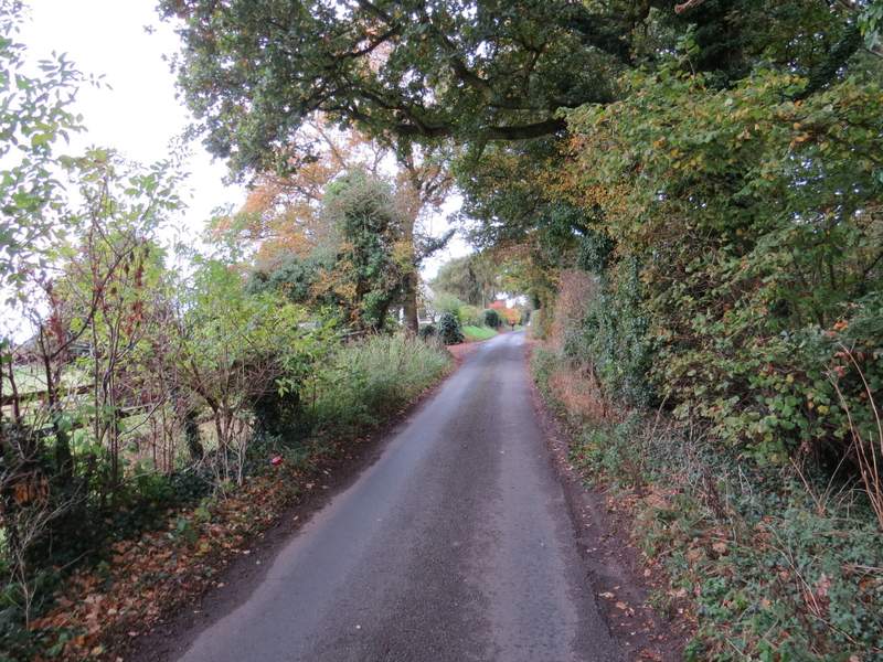
A path continued on the far side of the road, running between fences and with a wood on my right. After about a third of a mile this came to a lane, where I turned right. Another third of a mile on, I turned left at a lane crossroads - the OS map marks this lane as Icknield Way in italics, indicating that it follows the route of that ancient trackway. Somewhere along here I spotted a white pheasant, similar to the one I saw on my previous walk. After about half a mile, the Ridgeway National Trail crossed the lane. After a few more hundred yards, I turned left, along the drive to Woodhouse Farm.
The path on the other side of the A4130
The lane at the end of the path on the other side of the A4130
The lane going south along the route of the ancient Icknield Way
The lane going south along the route of the ancient Icknield Way
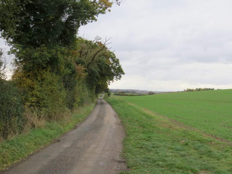
The lane going south along the route of the ancient Icknield Way