Pete's Walks- Pitstone Hill and Wigginton (page 1 of 4)
If you are considering walking this route yourself, please see my disclaimer. You may also like to see these notes about the maps and GPX files.
I did this circular walk of about 11.5 miles on Saturday, 28th January 2017. It was yet another repeat of Walk 4 of my Chiltern Chain Walk, going clockwise. The weather forecasters predicted there would only be a dry spell of about five hours today, so I chose this fairly local route that usually takes me between four and four and a half hours (the forecasters got it right, I got soaked with rain as I was scraping the mud of my boots when I got home).
I parked in the car park near Pitstone Hill (grid reference SP 954148) and started walking about 10.15am. From the car park entrance I crossed the lane and followed part of the Ridgeway towards Steps Hill, following a fence on my right for several hundred yards. When I reached a path crossroads near the foot of Steps Hill I turned right, as did the fence. After a while, the path started to climb gently uphill through long grass and bushes. Over a stile, it continued through trees to reach the track that runs from the Bridgewater Monument in Ashridge towards Ivinghoe Beacon. I followed this to the right for maybe a quarter of a mile, before taking a footpath forking half-right (shortly before the track reached the kennels on Clipper Down).
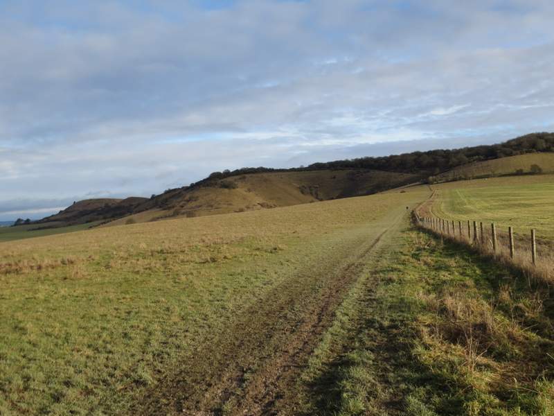
The Ridgeway, heading towards Steps Hill, with Ivinghoe Beacon on the left
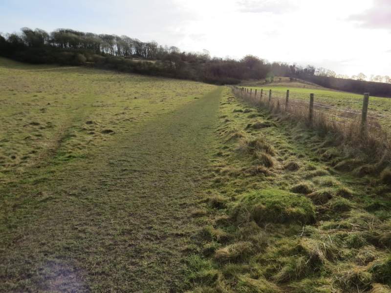
The footpath after I turned right from the Ridgeway
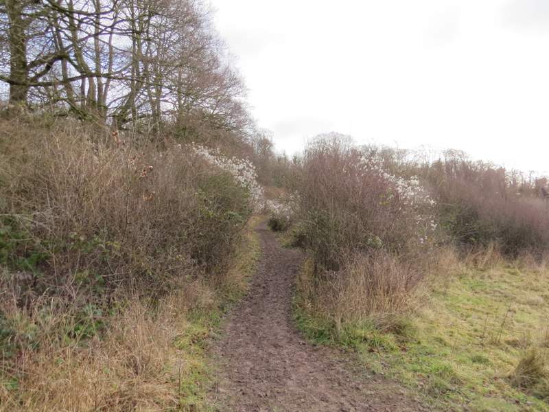
Further along the path
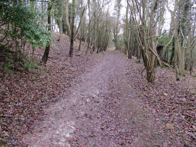
The same path now approaching the track from Ashridge to Ivinghoe Beacon
The track from the Bridgewater Monument at Ashridge to Ivinghoe Beacon (I'm walking the opposite direction, towards the Monument)
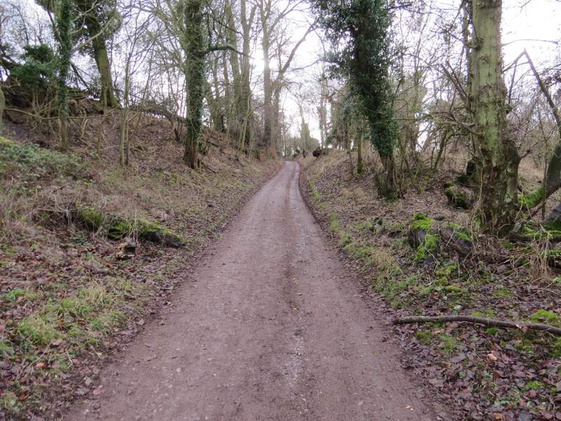
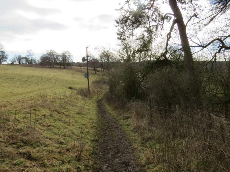
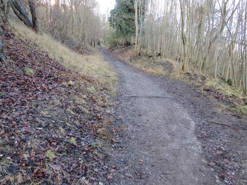
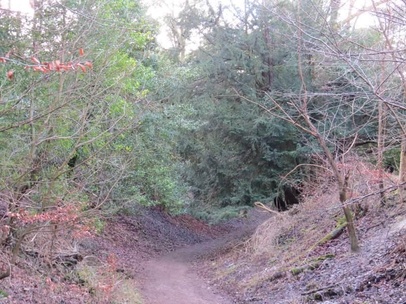
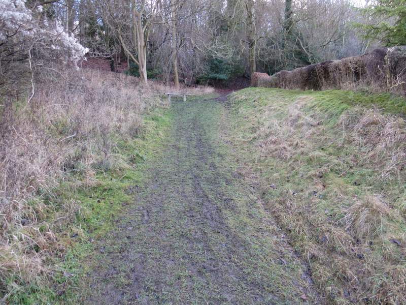
Within a few yards I reached a stile by a gate, beyond which the path followed the left edge of a large empty pasture. Further on the path continued descending over open downland, with a pleasant view ahead in the direction of Aldbury. The path then curved left to reach a gate, beyond which it ran along a farm track between hedges for a hundred yards or so to reach the drive to Duncombe Farm. Here I went a short distance left, then took a path forking half-right across an arable field. On reaching the hedge on the far side, the path went through a gap and went straight across another field to a bridleway on the other side, where I turned left. The bridleway soon turned half-right and started climbing the wooded slope of Ashridge. A little below the top of the slope it turned slightly right (a footpath went straight on), levelling out and passing a property named Tim's Spring.
The path descending from near the kennels on Clipper down
The path descending from near the kennels on Clipper down
The path from the drive to Duncombe Farm
The bridleway after I turned left, heading up the wooded slope of Ashridge
The bridleway after it levels off to run just below the Bridgewater Monument
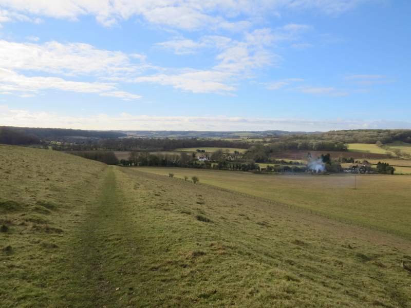
The bridleway followed the drive from the house for a few yards, then re-entered the woods, now running just below the Bridgewater Monument, out of view but just up the slope on my left. On reaching a bridleway junction I turned right, then forked right after about a hundred yards, now on the bridleway that leads from the Monument down to Aldbury.
The bridleway now running just below the Bridgewater Monument, up to the left
The next bridleway after I turned right (I forked right near the two dark trees in the centre of the shot)
The bridleway descending to Aldbury
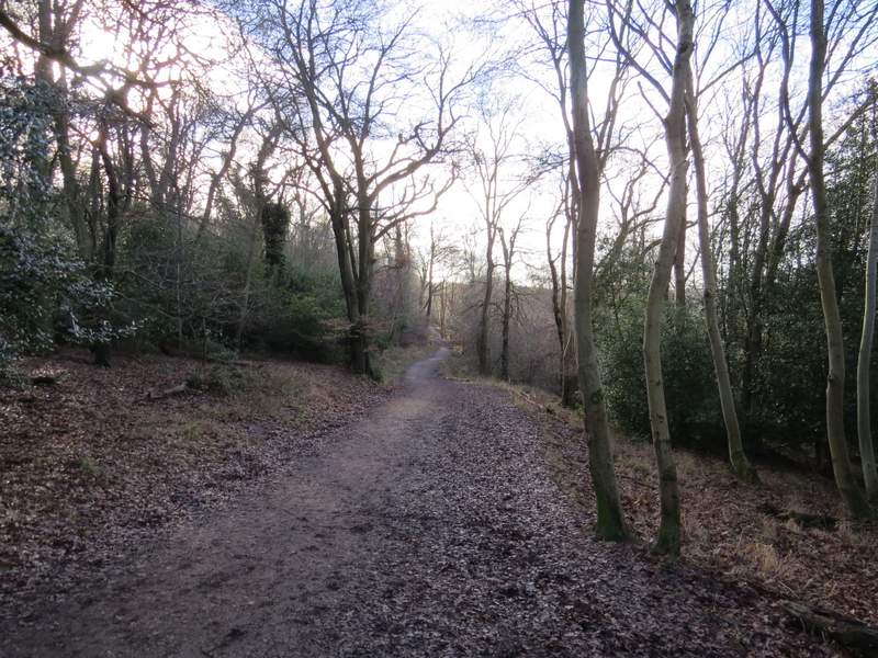
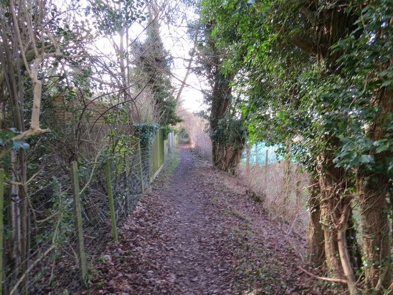
On reaching a road, I turned right to reach the centre of Aldbury, with its stocks and pond. I turned left, walking directly away from the pond, and after one or two hundred yards turned left on a footpath that quickly brought me to the village allotments. On the far side of these I went through a tall gate and turned right. When this path brought me to a street I went left, uphill. Where the street turned left, I went straight on, taking the rightmost of two footpaths starting here. The path slanted steadily uphill to the right, and brought me to a hairpin bend in a road through the woods of Ashridge.
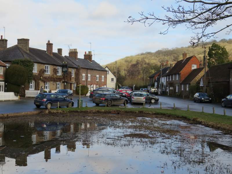
Aldbury (I walked in the opposite direction to this shot)
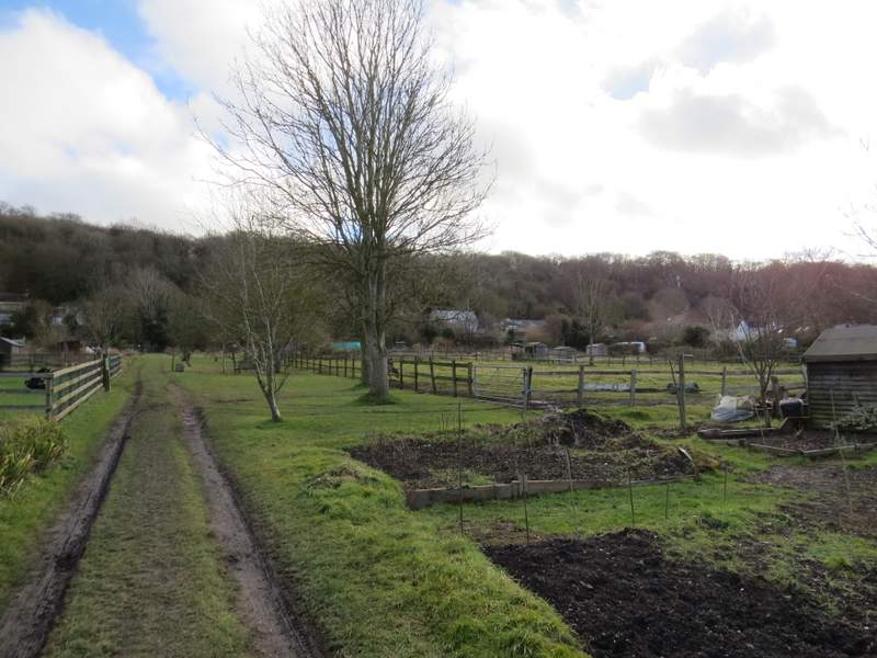
The path through the allotments in Aldbury
The path after I turned right beyond the allotments
The start of the path from Aldbury to Tom's Hill
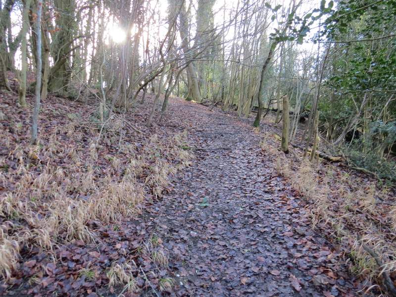
The path from Aldbury to Tom's Hill