Pete's Walks- Pitstone Hill and Wigginton (page 2 of 4)
If you are considering walking this route yourself, please see my disclaimer. You may also like to see these notes about the maps and GPX files.
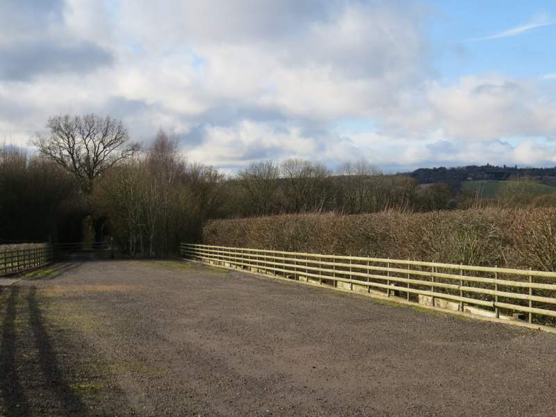
I turned down the lane that started at the hairpin bend, which soon brought me to the hamlet of Tom's Hill (I wondered if the Tim of Tim's Spring was related to the Tom of Tom's Hill). I went straight on through the hamlet, the path crossing a wide stretch of gravel to a gate, then soon entering another wood and dropping downhill. On reaching the far side of the wood, I went through a tall gate in a deer fence, and turned left to reach a corner of a grassy field. The path then went gradually right through a large meadow, eventually reaching a stile in the hedgerow on the right. The path then followed the left edge of a field, before going diagonally half-right across another grassy field to reach Norcott Court Farm.
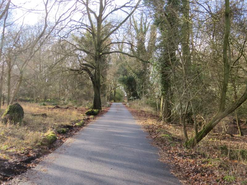
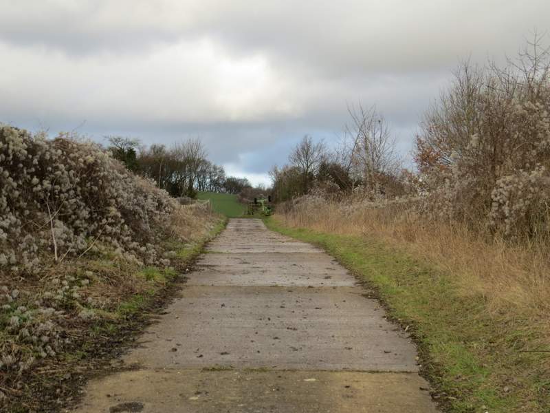
The short lane to Tom's Hill
The path through Tom's Hill
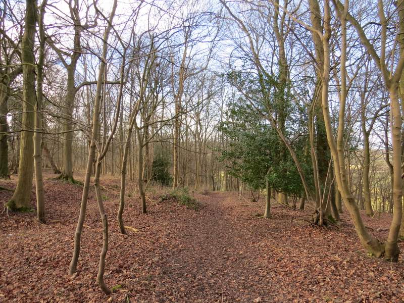
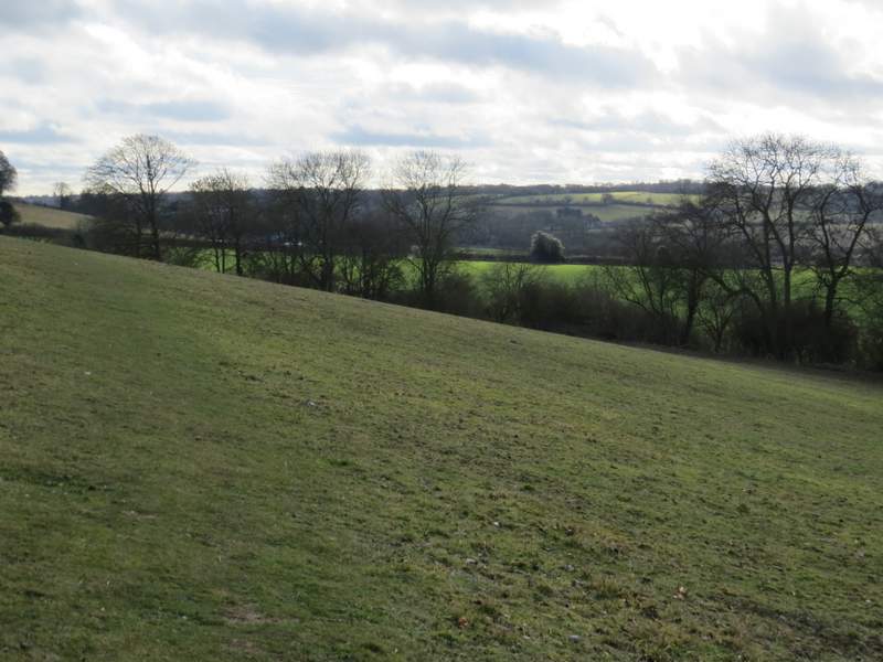
The path descending from Tom's Hill
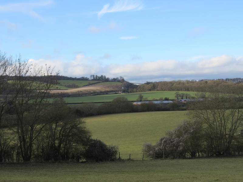
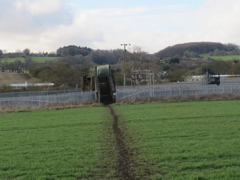
View towards the footbridge over the A41, which I would cross later (it's another part of the Ridgeway national trail)
The path to Norcutt Court Farm
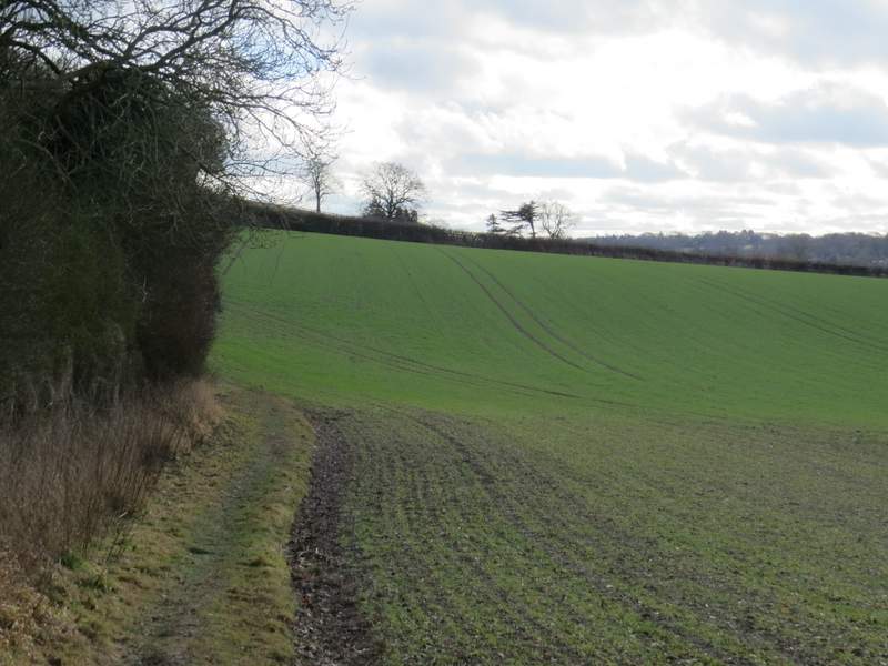
The path to Norcutt Court Farm
The path to Norcutt Court Farm
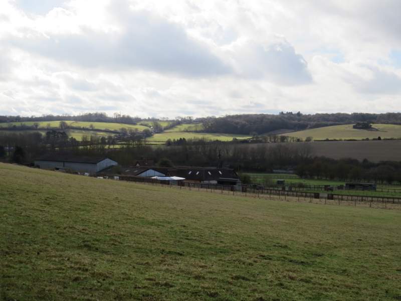
The path turned left along the drive from the farm, but almost immediately turned right. The path soon became a track between fences, then I turned right at a path junction, where I followed a hedge on my left. After a hundred yards or so I turned left, crossing an arable field to reach a footbridge over a railway line, beyond which I crossed another field to reach a lane. Here I turned right to reach Cow Roast (where I totally forgot to take my usual photo of the canal lock here). On reaching a main road, I went a few yards right and took a byway on the other side (starting next to the Cow Roast Inn), following it for a few hundred yards to reach a lane.
The path from Norcutt Court Farm
Approaching the railway bridge near Cow Roast
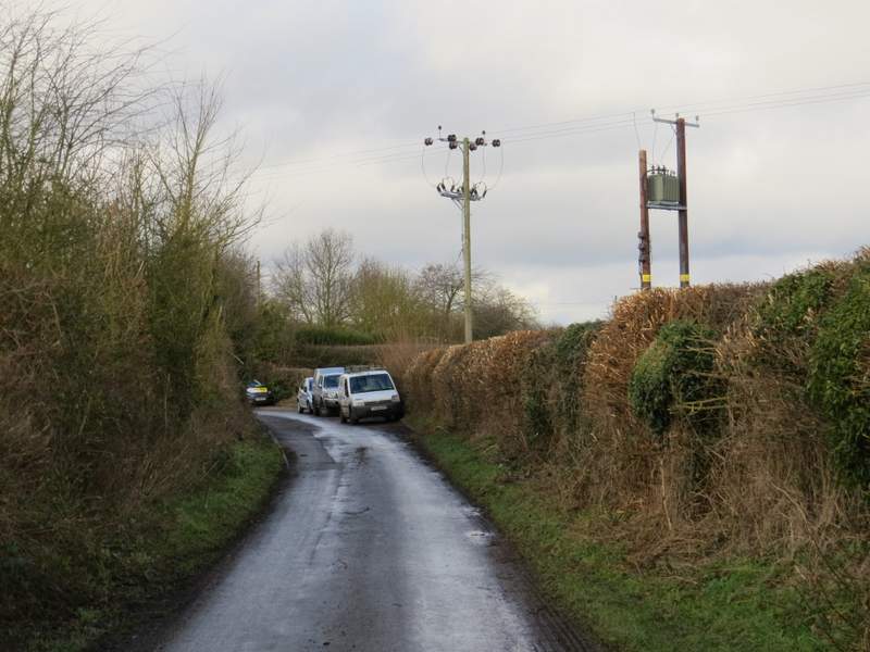
The lane approaching Cow Roast
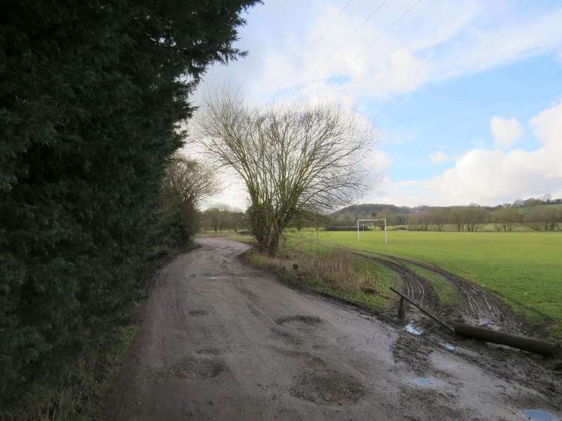
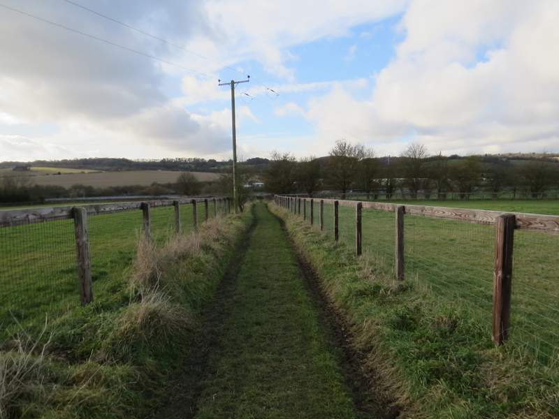
The byway from Cow Roast
The byway from Cow Roast
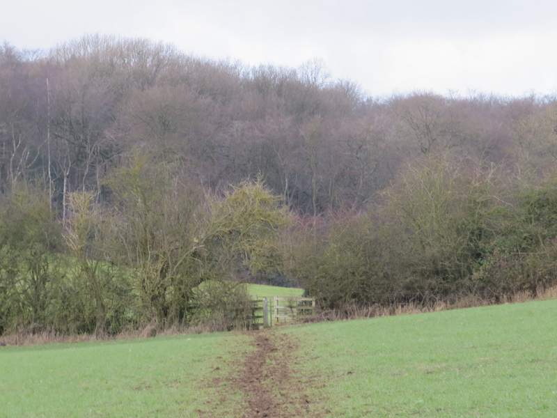
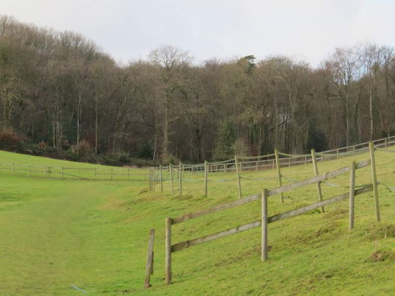
I turned left, and almost immediately went under the A41 dual carriageway. I then took a path going right, initially along a concrete farm track. Just after the concrete ended (I saw a Redwing and a Robin here), the path went left across a corner of a field. It then continued through two large paddocks, following the bottom of a valley to reach Lower Wood. I'd been following part of the Chiltern Way since leaving Aldbury, but just inside the wood that route turned left while I went straight on.
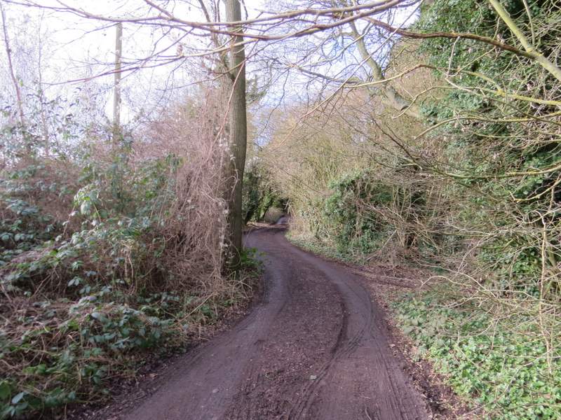
Near the start of the path to Lower Wood
The path to Lower Wood
The path to Lower Wood
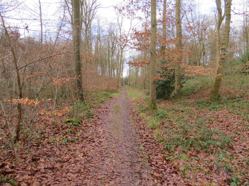
Lower Wood