Pete's Walks- Christmas Common, Russell's Water, Nuffield (page 2 of 7)
If you are considering walking this route yourself, please see my disclaimer. You may also like to see these notes about the maps and GPX files.
Across the road a path went up a driveway (I was now back on the Chiltern Way) and continued through a wood to reach a corner of Russell's Water Common, where I turned right and carried on along the edge of the common. The Chiltern Way turned right a hundred yards or so before the end of the trees on my right, but I continued along the edge of the common and soon crossed a drive going to a farm over to my left. There was a clear path through the grass now, and I followed it for about half a mile, always staying quite close to the edge of the common on my right. Eventually I reached a point where the path passed close to some bushes to my left, where I turned right at a path junction to reach a lane (close to a house on my right). I turned right along the lane and soon reached the Five Horseshoes pub (the pub is in Maidensgrove, so somewhere I possibly moved from Russell's Water Common to Maidensgrove Common).
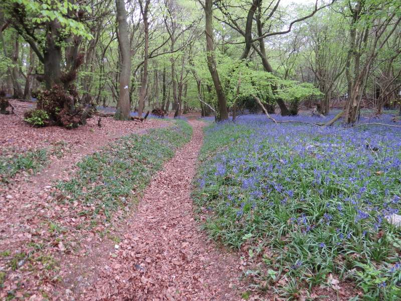
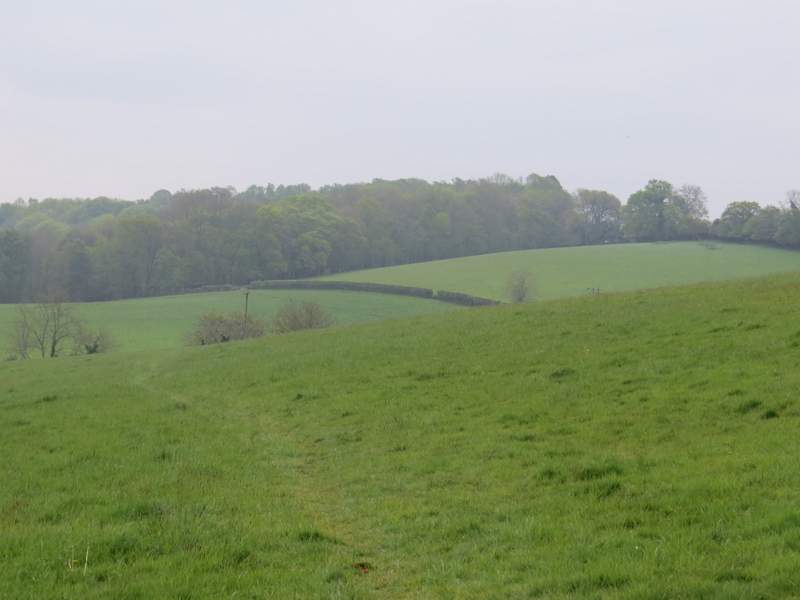
The path from the road in Pishill Bottom to Russell's Water Common
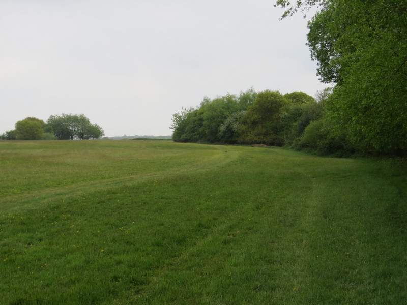
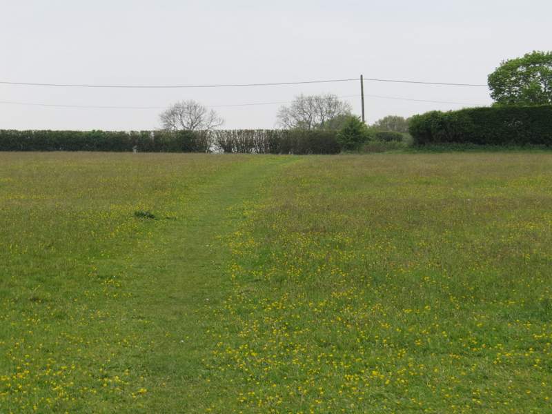
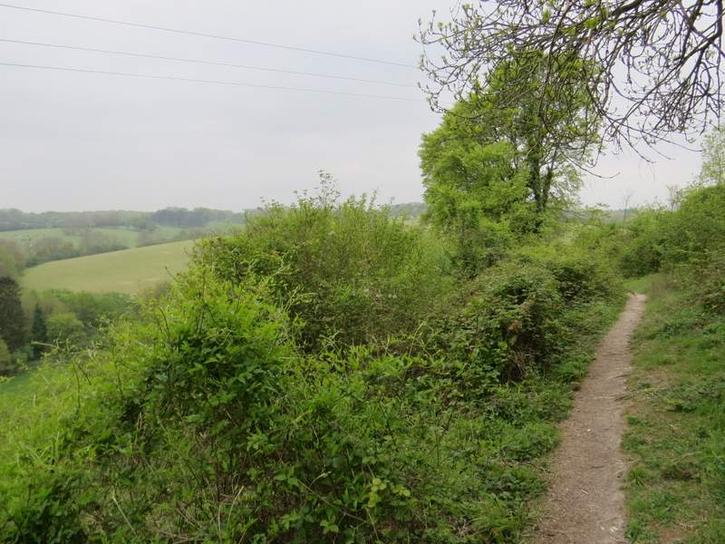
The path continuing round the western edge of Russell's Water Common
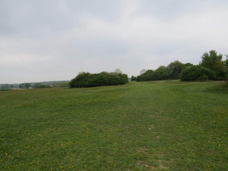
The path continuing round the western edge of Russell's Water Common
The path continuing round the western edge of Russell's Water Common
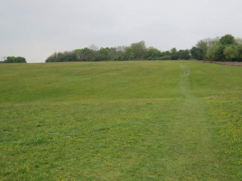
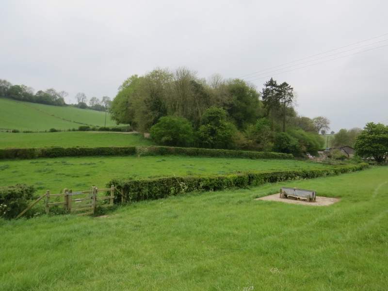
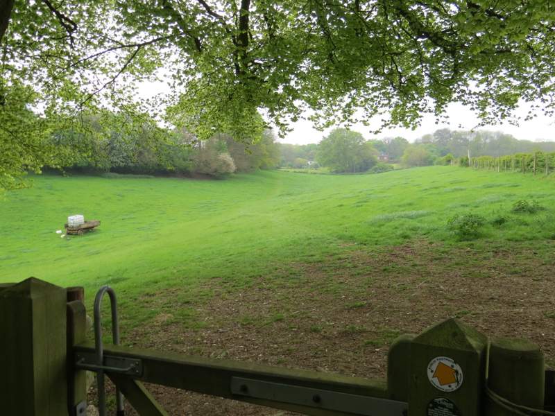
Approaching the lane on the edge of Russell's Water Common
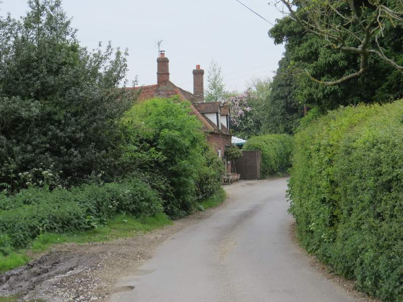
The lane past the Five Horseshoes pub
About a hundred yards past the pub I took a path on the left, which ran past a garden and then a small pasture or paddock on the left. It then went down a few 'steps' before turning right for a few yards, then turned left to drop very steeply downhill into a valley (I think this is Upper Bix Bottom).
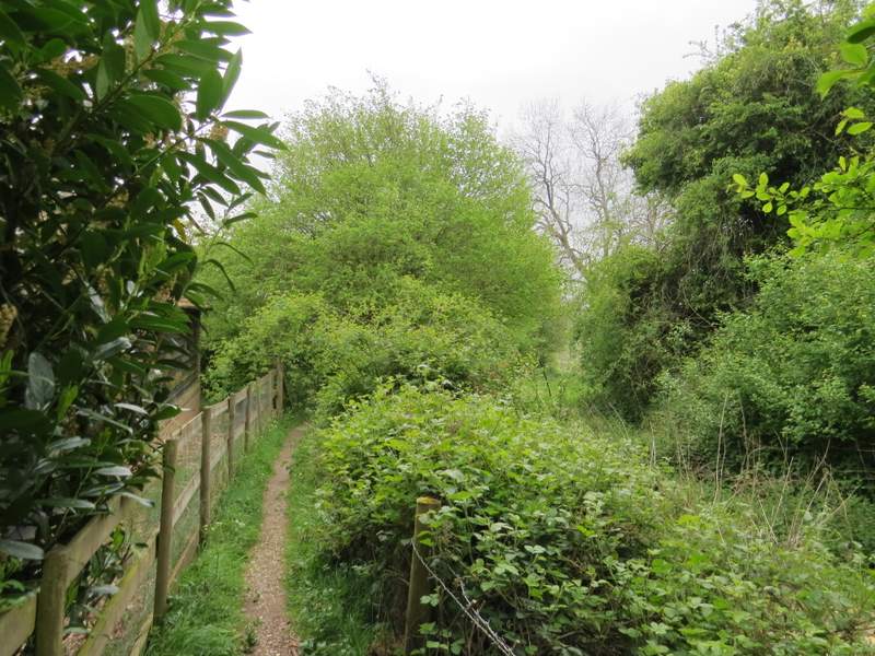
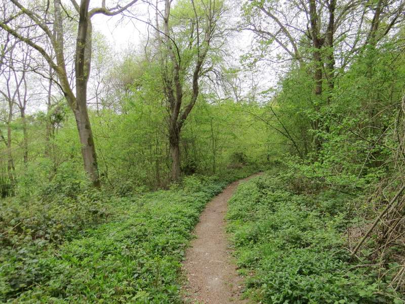
The start of the path from near the Five Horseshoes
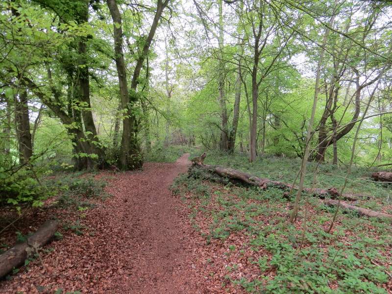
The path continuing down into the valley of Upper Bix Bottom
The path continuing down into the valley of Upper Bix Bottom
The path continuing down into the valley of Upper Bix Bottom
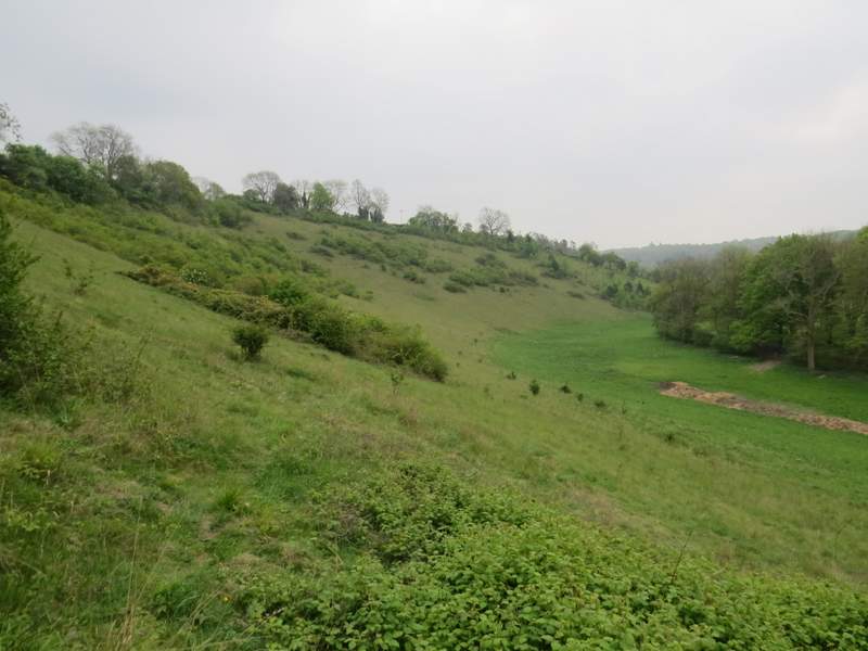
Looking left - this gives a better idea of how steep the path was here
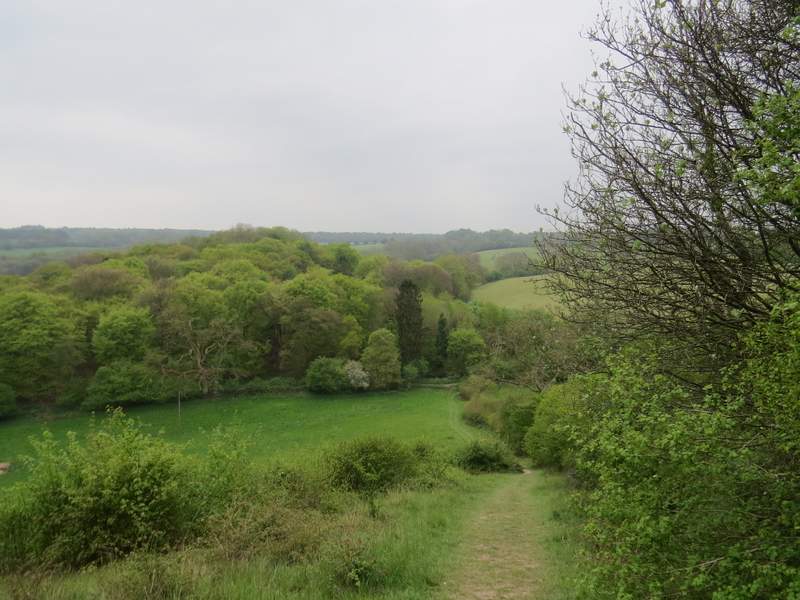
In the valley bottom I crossed a bridleway and then immediately forked left where two paths diverged (the other path was another part of the Chiltern Way). The path led uphill through a wood, then crossed a large grassy field - I tried to neither go uphill nor downhill here, aiming just right of a telephone post and then dropping down into another valley (this is Upper Bix Bottom if the previous valley isn't!), where I crossed a small meadow to reach a track or drive near Westwood Manor Farm.
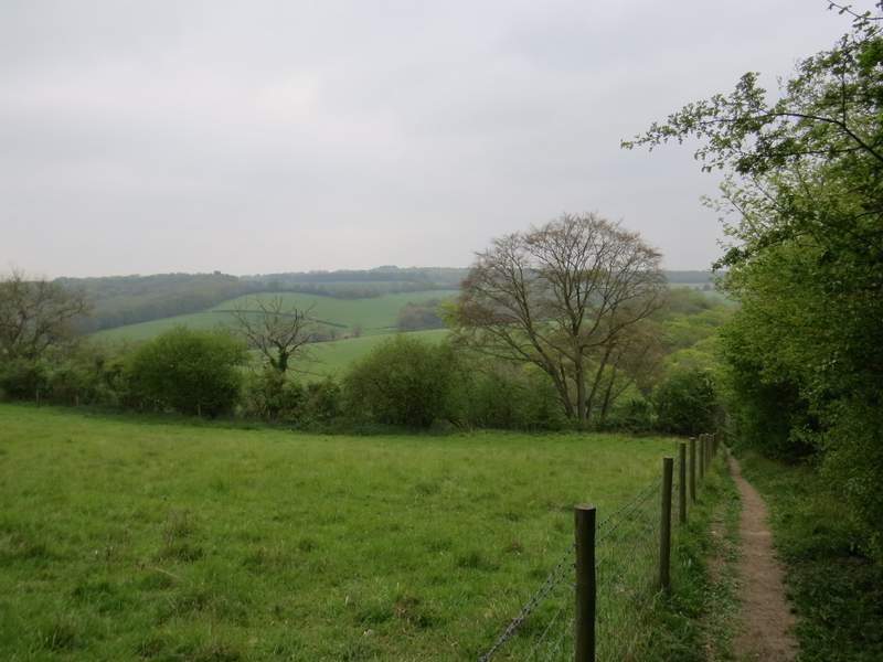
The path going south towards Westwood Manor Farm
The path going south towards Westwood Manor Farm - I went just right of the telephone post and down into the valley ahead
The path going south towards Westwood Manor Farm (which is on the right of this shot)
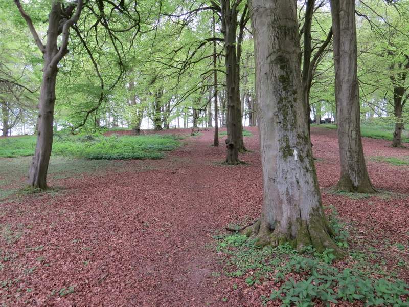
Across the track a path continued across a small corner of a very large pasture, then crossed a track and went through a small gate before continuing gently uphill through another wood. Beyond the wood the path continued through a meadow, and then ran briefly through a garden to reach a drive in the hamlet of Magpies (this is the name on the OS map, but it may actually be Magpies End).
The path continuing southwest towards Magpies
The path continuing southwest towards Magpies
The path approaching Magpies
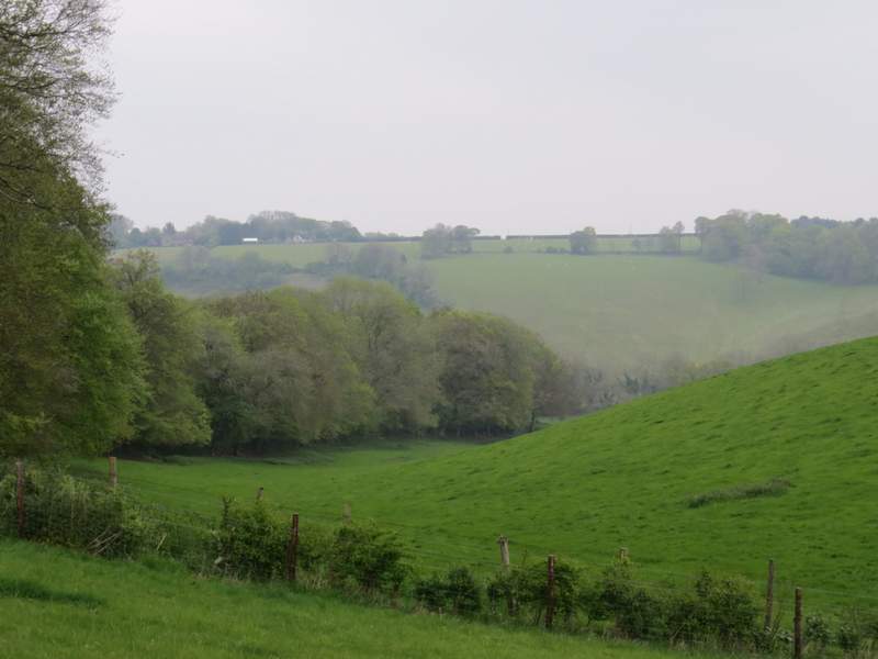
Looking back from near Magpies - Russell's Water Common is on top of the far hillside