Pete's Walks- Christmas Common, Russell's Water, Nuffield (page 3 of 7)
If you are considering walking this route yourself, please see my disclaimer. You may also like to see these notes about the maps and GPX files.
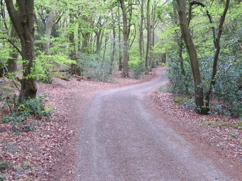
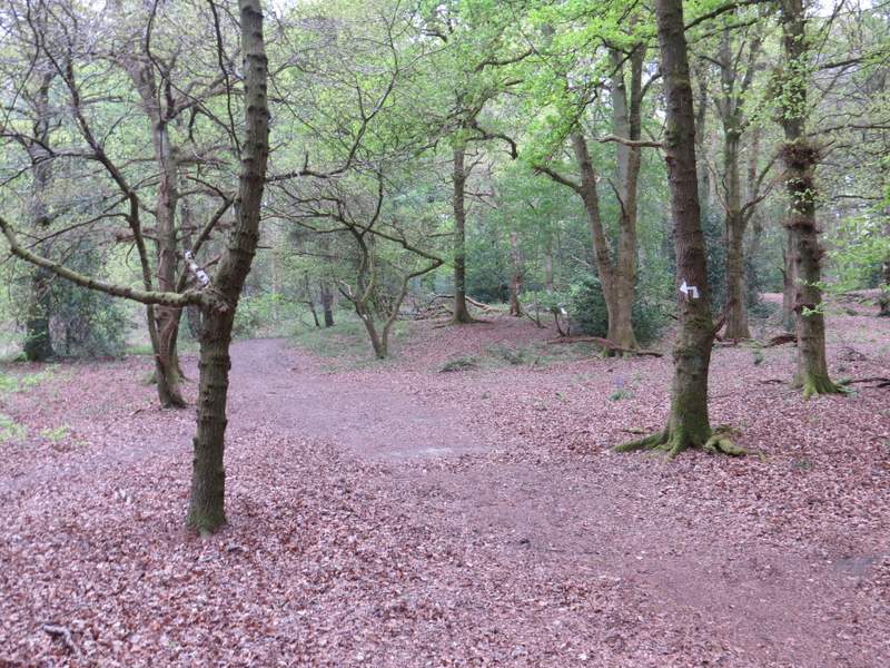
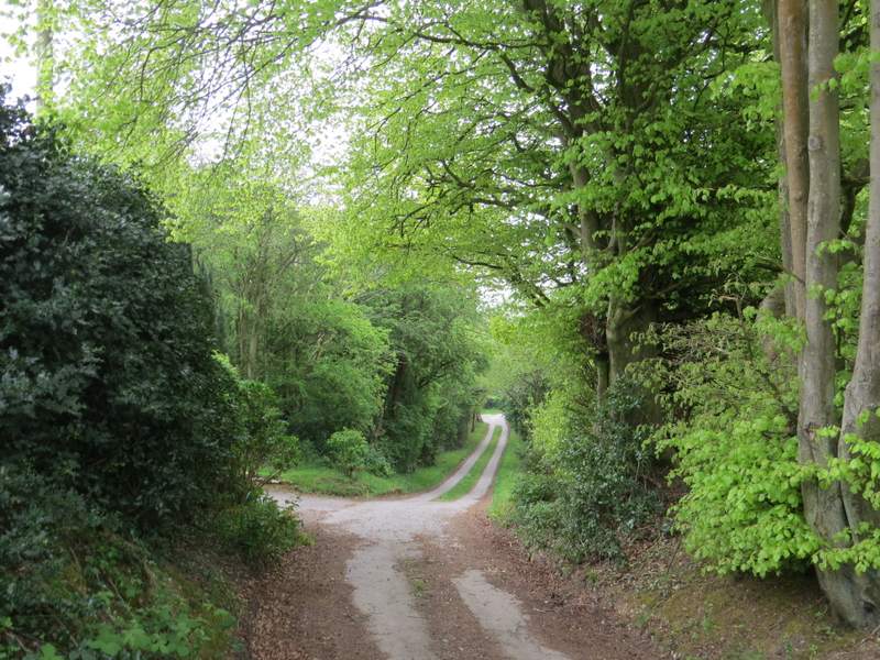
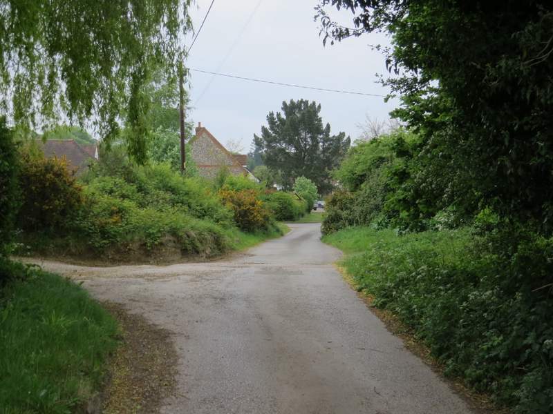
I turned left along the drive, following it through a wood until white arrows indicated where a footpath went left (where the drive turned right). The white arrows led me through the wood (the only confusion was where I needed to turn right at a path crossroads, the arrow for turning right being a few yards before the actual junction), and on the other side I followed a drive downhill into the village of Nettlebed. I turned left at the end of the drive, soon reaching the main road (A4130) through the village, where I turned right and followed the road as far as the village church.
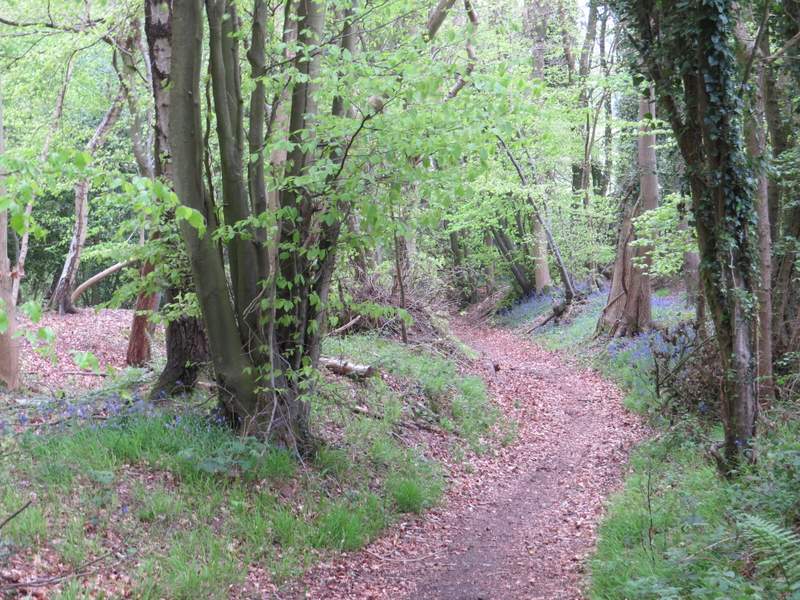
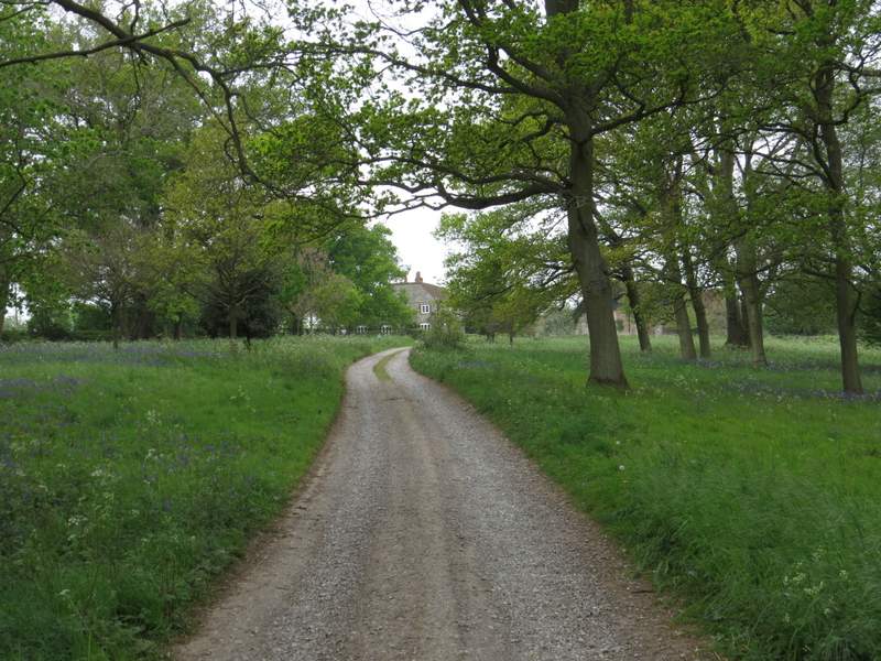
The drive from Magpies (the footpath starts roughly where the drive goes out of the shot)
The path between Magpies and Nettlebed
The drive into Nettlebed
The drive into Nettlebed
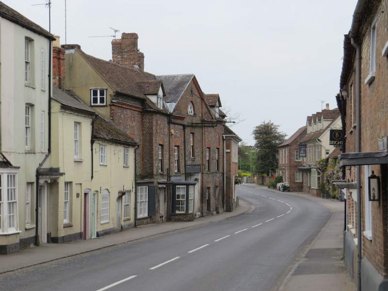
The main road (A4130) through Nettlebed
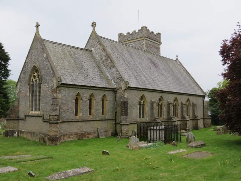
Nettlebed church
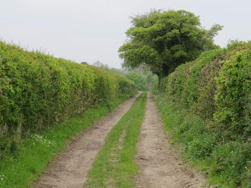
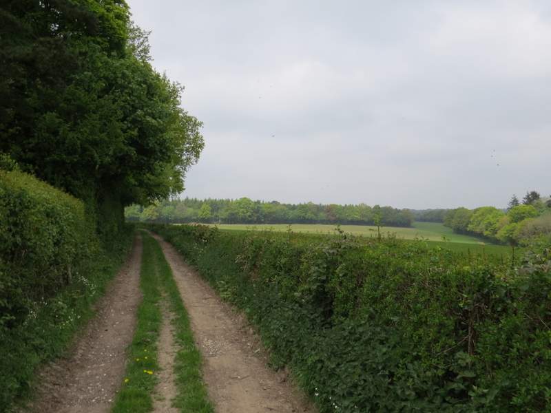
Immediately after the church a footpath went right, soon joining a surfaced drive (much like a lane) which I followed south for about half a mile. Where the drive turned sharply right, I went a few yards straight on into a wood, then turned right myself, dropping downhill along a bridleway named Deadman's Lane. At the bottom of the slope I rejoined the drive, and followed it beside the wood on my left back uphill. After several hundred yards it turned right to reach a property named Howberrywood. From there I continued straight on along a farm track. This went slightly left then turned right to head northwest, soon running alongside a wood on my left.
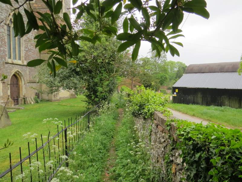
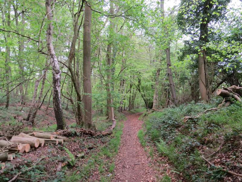
The start of the path south from Nettlebed
The path south from Nettlebed
The bridleway named Deadman's Lane
The bridleway named Deadman's Lane
Back on the drive to Howberrywood
The drive to Howberrywood
Approaching Howberrywood
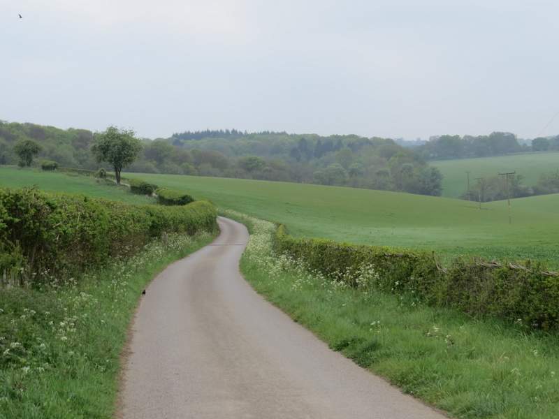
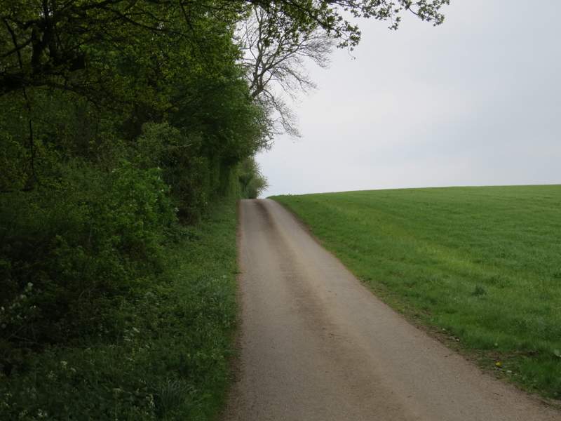
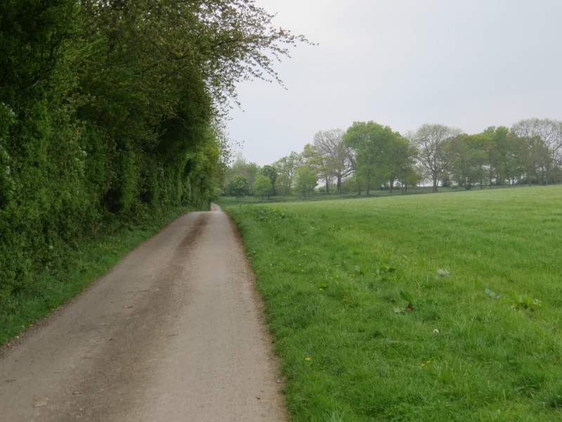
The bridleway to Nuffield
The bridleway to Nuffield
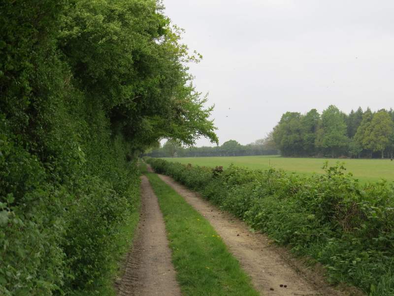
The bridleway to Nuffield