Pete's Walks- Ashridge Estate Boundary Trail (page 2 of 6)
If you are considering walking this route yourself, please see my disclaimer. You may also like to see these notes about the maps and GPX files.
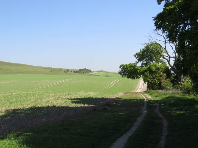
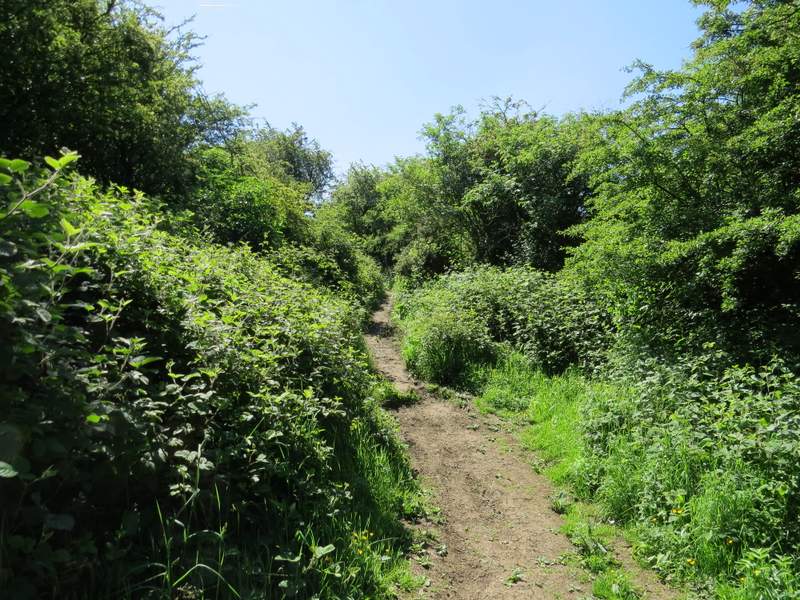
I went straight on for a couple of hundred yards, then turned right at a waymark post (I could have cut a corner by forking right just after exiting the wood). I went through a gate to leave the grassy area and continued down a track next to a hedgerow containing several mature trees on my right. When this hedgerow ended the chalky track continued between two arable fields. After a few hundred yards I went straight on when another tall hedge started on the right, and then I turned left onto another chalky track that went uphill towards a tumulus (or ancient burial mound) on the skyline.
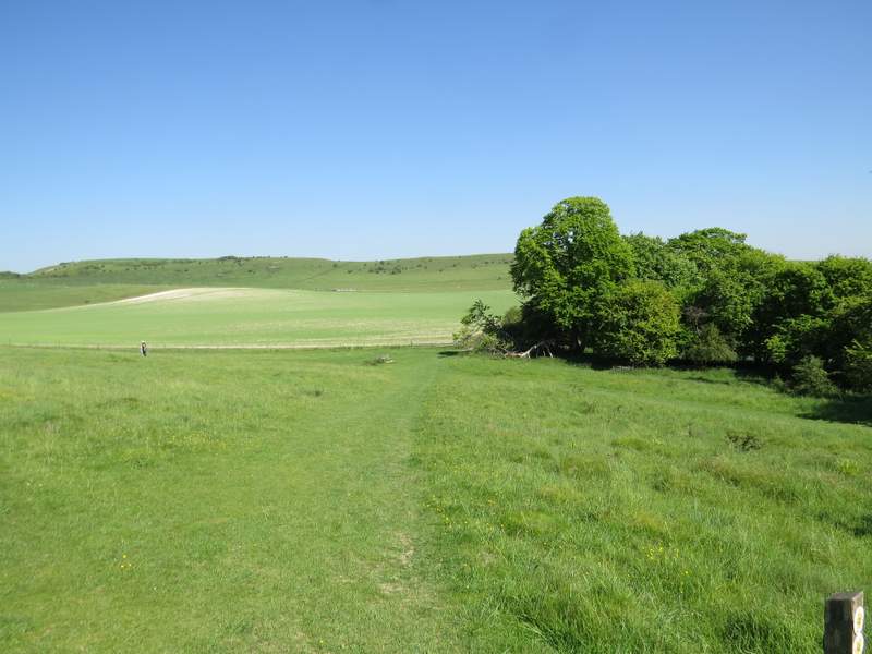
The start of the path after I left the wood and turned right
The start of the path after I left the wood and turned right (you can just make out the tumulus, or burial mound, on the skyline in the centre of the shot)
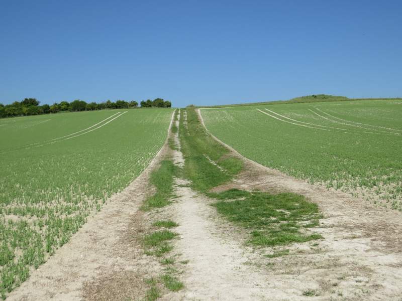
The path after I turned left, towards the tumulus
Looking back from near the tumulus
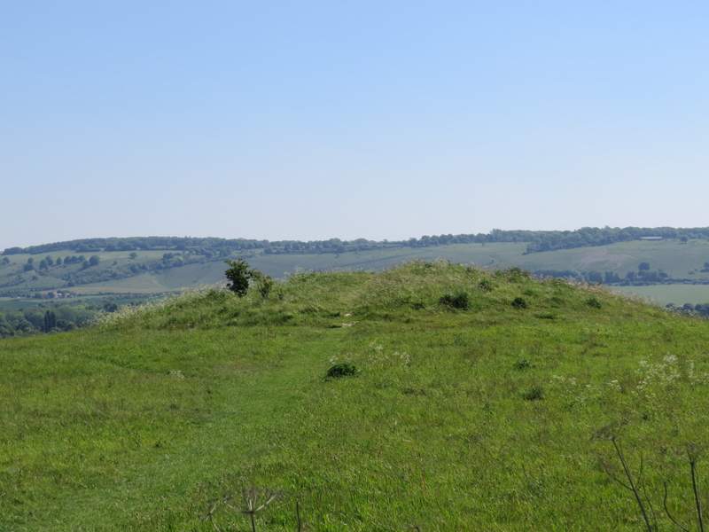
The tumulus, with part of the Whipsnade Downs in the background
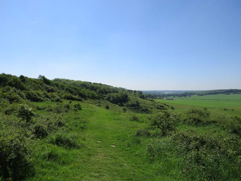
When I drew level with the tumulus I turned left and started to follow a path up to Gallows Hill and on along a grassy ridge to Ivinghoe Beacon. Even though it involved some bits of uphill, this was a really enjoyable stretch because of the far-reaching views in most directions. I saw a couple of Skylarks here, too.
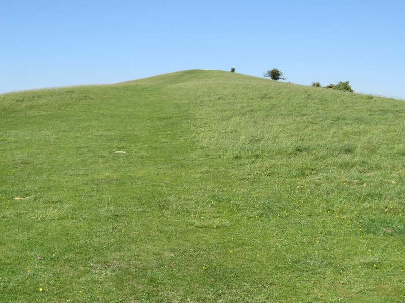
The path from the tumulus going up Gallows Hill
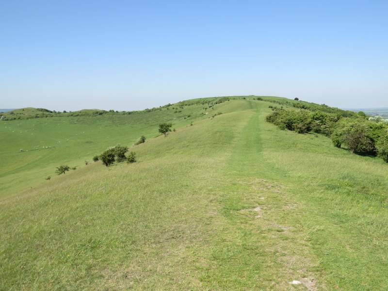
The ridge from Gallows Hill to Ivinghoe Beacon
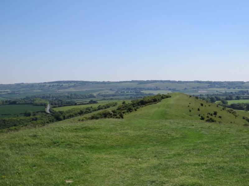
Looking back along the ridge, with the Dunstable and Whipsnade Downs in the background
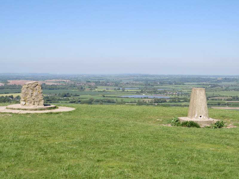
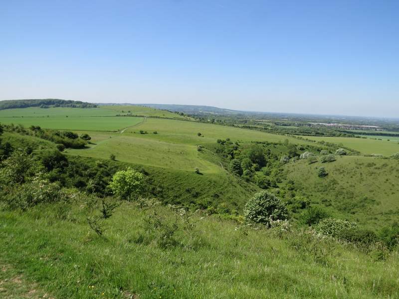
The Vale of Aylesbury from Ivinghoe Beacon
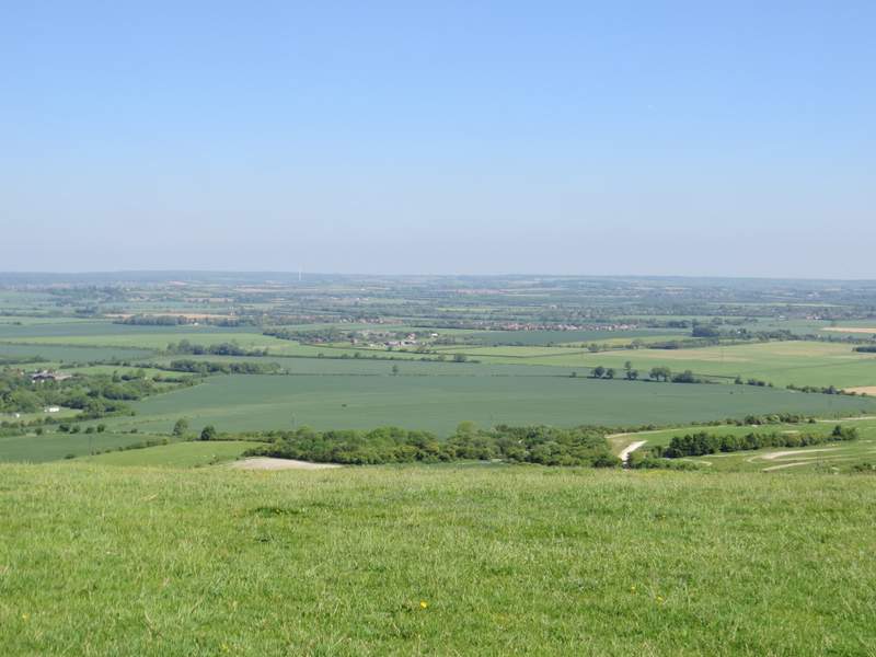
The Vale of Aylesbury from Ivinghoe Beacon
After taking a few photographs I turned left, descending a steep chalky path and passing two 'hillocks' on my right - I was now following the white acorn signs of the Ridgeway national trail (as well as the usual Ashridge Estate Boundary Trail waymarks). I then crossed a minor road near a sharp bend, then a few yards further on forked right (just behind a bush). This path wound its way round a scrub-covered part of Steps Hill. After going through a gate I turned left, close to a fence on my left, and went uphill. The path soon entered a small wood of short trees and bushes, then emerged onto the grassy top of of Steps Hill.
Looking towards Steps Hill from Ivinghoe Beacon (with Pitstone Hill further right)
The Ridgeway heading for Steps Hill
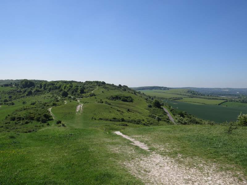
The Ridgeway on Steps Hill
The Ridgeway on top of Steps Hill - you can see the route continuing downhill to the right, where it turns left at the corner of the green field
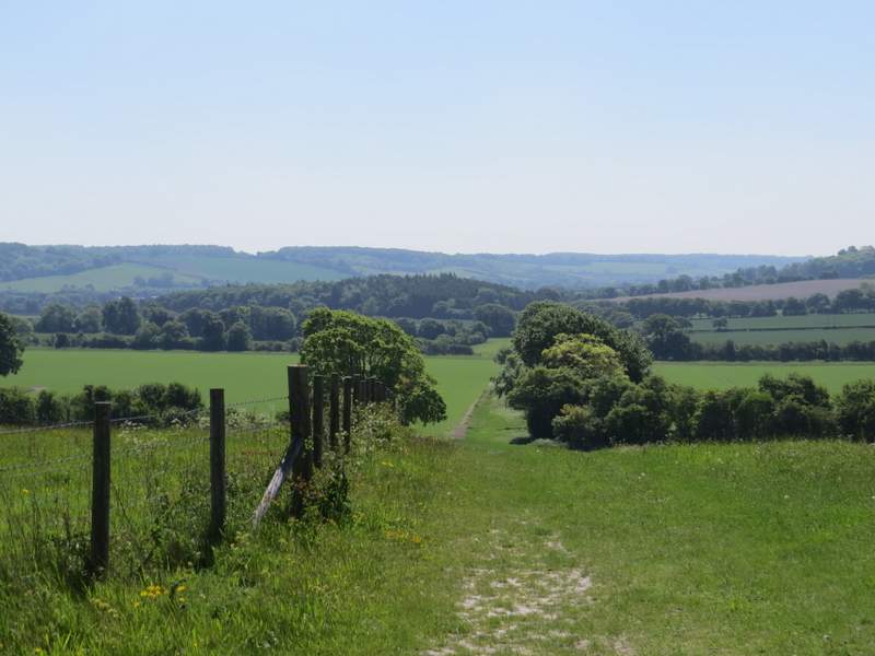
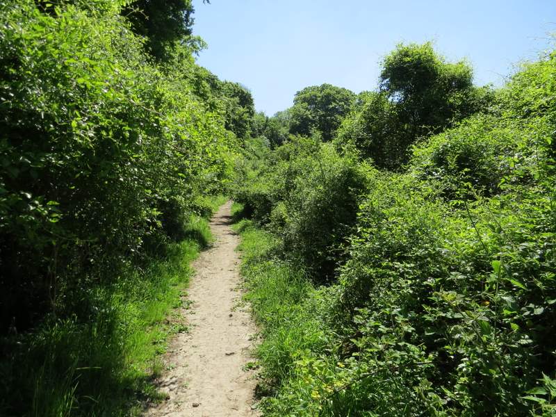
I continued straight on, as the path started to descend as it passed the end of a steep-sided valley named Incombe Hole on my right. The path then curved right, gently descending almost parallel to Incombe Hole over to my right. When I reached a path crossroads I turned left, leaving the Ridgeway. For a while the path followed a fence on my right, then gradually rose uphill through bushes and trees. Beyond a stile I went straight on, slightly more steeply and now in trees, to reach the main track between Ivinghoe Beacon and the Bridgewater Monument at Ashridge, where I turned right.
Incombe Hole from Steps Hill - again you can see the route continuing on the left, where it turns left on reaching the corner of the green field
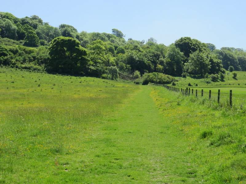
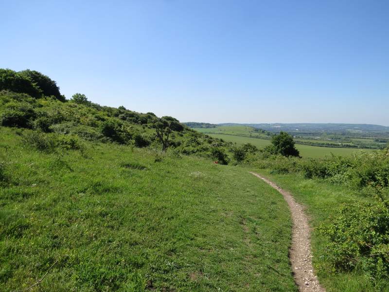
After I turned left from the Ridgeway (initially beside the green field seen in the previous photos)
The path continuing uphill