Pete's Walks- Ashridge Estate Boundary Trail (page 3 of 6)
If you are considering walking this route yourself, please see my disclaimer. You may also like to see these notes about the maps and GPX files.
After a short distance the track passed the kennels on Clipper Down. It continued through the woods of Ashridge, largely following a steep slope going downhill on my right, with occasional views out in that direction. Much further on there was an area where again there was a lot of Ramsons or Wild Garlic, and a little further on I passed another ancient burial mound, Moneybury Hill Barrow. Eventually, after following the track for about a mile and a half, I reached the Bridgewater Monument.
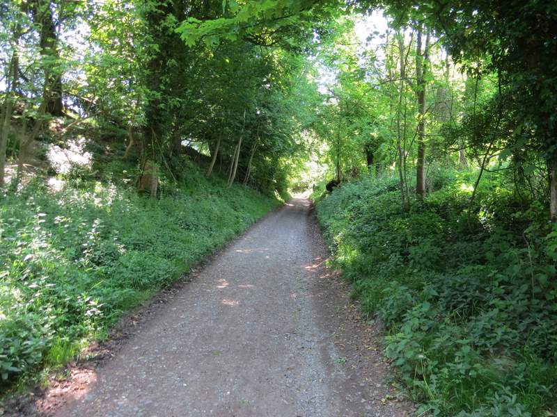
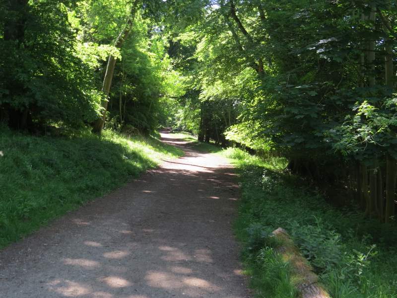
The main track between Ivinghoe Beacon and the Bridgewater Monument at Ashridge, from where I joined it and turned right
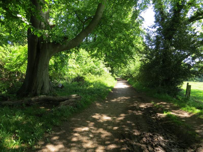
The main track between Ivinghoe Beacon and the Bridgewater Monument at Ashridge, at Clipper Down
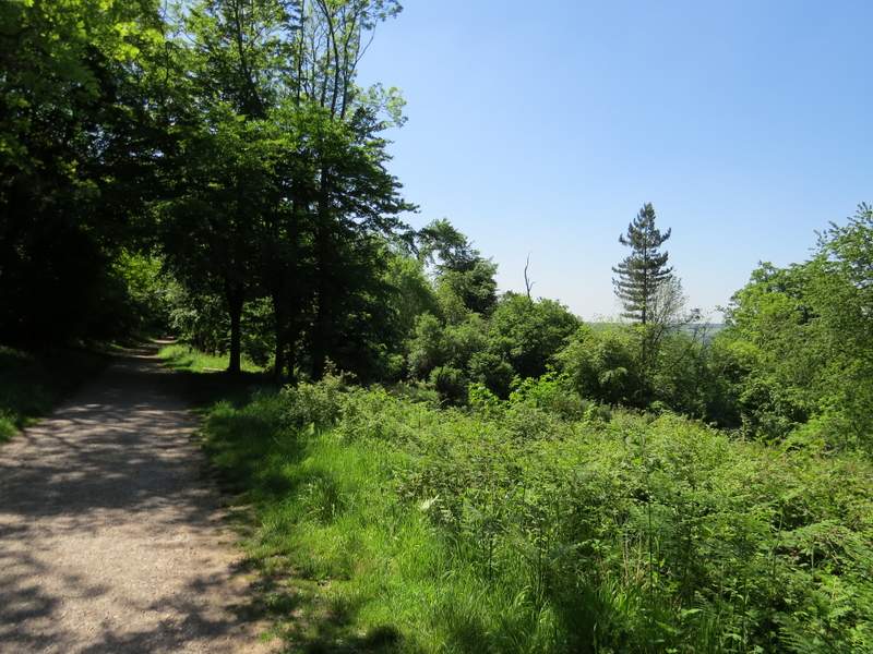
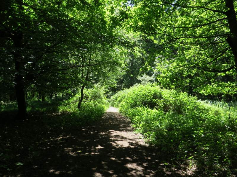
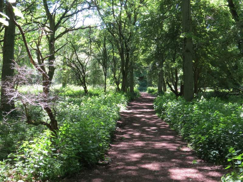
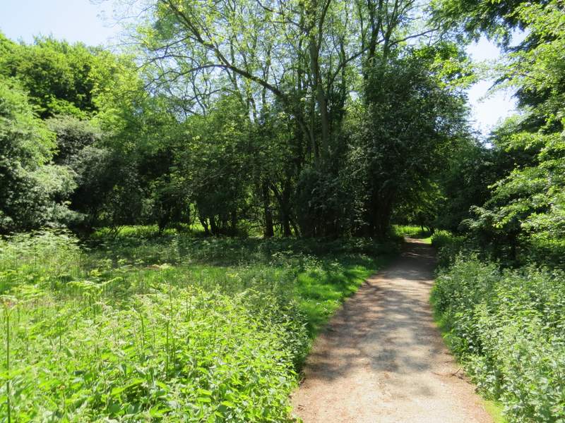
The main track between Ivinghoe Beacon and the Bridgewater Monument at Ashridge
The main track between Ivinghoe Beacon and the Bridgewater Monument at Ashridge
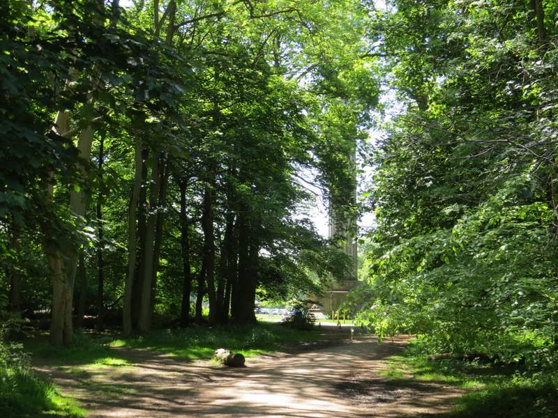
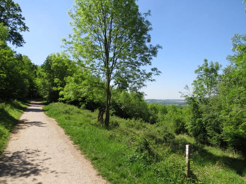
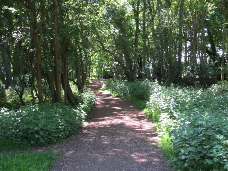
Approaching the Bridgewater Monument at Ashridge
I crossed the grass in front of the monument, and on the far side (just right of the visitor centre and cafe) turned right on a track. This headed gently downhill through more of the Ashridge woods. After about a quarter of a mile I reached a bridleway fork where I kept left (the other fork goes down to Aldbury). This bridleway was now fairly level and well-surfaced, and after a while there was a bench where there was a nice view out to my right, over Aldbury and its surroundings. When I reached a path junction, I turned sharply right for a few yards, then turned left to resume the same direction as before. This bridleway crossed a drive and soon reached a minor road (near Tom's Hill).
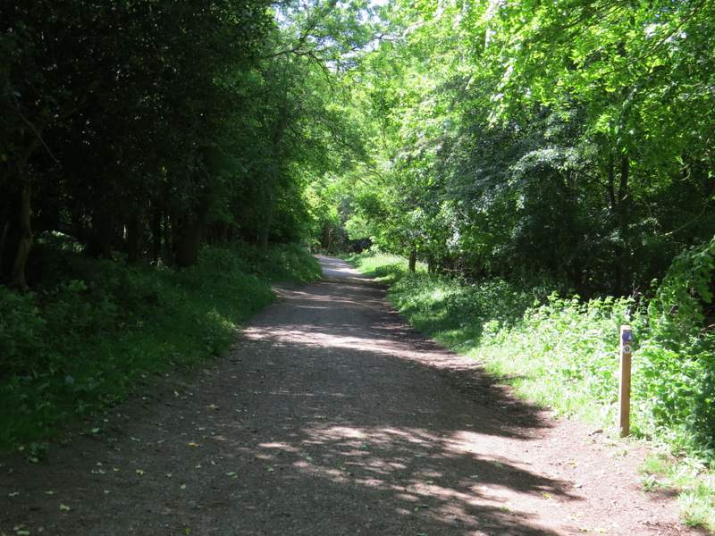
The start of the bridleway from the Bridgewater Monument, heading down to Aldbury
The bridleway after I kept left at a fork (instead of going down to Aldbury)
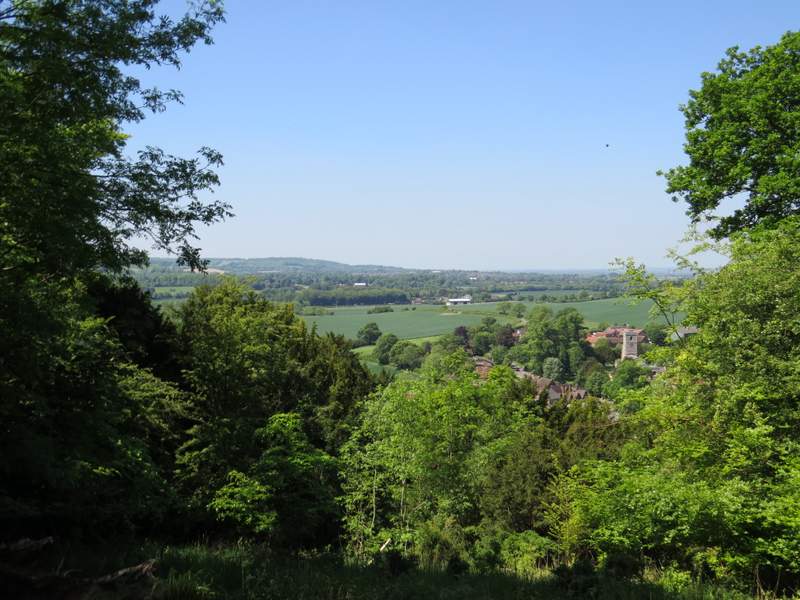
View right, looking out over Aldbury - this was the third point I'd come to where a seat had been positioned to take advantage of a view out through a gap in the trees
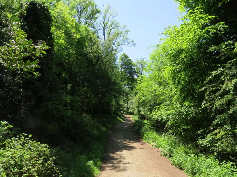
A little further along the bridleway
The bridleway after I turned right and then almost immediately left
Across the road, the bridleway continued for about half a mile through more of the Ashridge woodland. I just kept straight on at various junctions, but paid heed to the Ashridge Estate Boundary Trail waymarks. Eventually I came to a fork where the waymarks indicated I kept right, then a few yards further on they showed I had to go left at a second fork. I then soon emerged on the edge of the huge grassy part of Northchurch Common. Here I turned right, following the edge of the grassy area to a corner where the path went straight on through a corner of trees. The path then continued through a slightly more open area of trees and bushes, with a small valley developing on my left.
The bridleway continuing after I crossed the road near Tom's Hill
The bridleway continuing after I crossed the road near Tom's Hill
Further along the bridleway
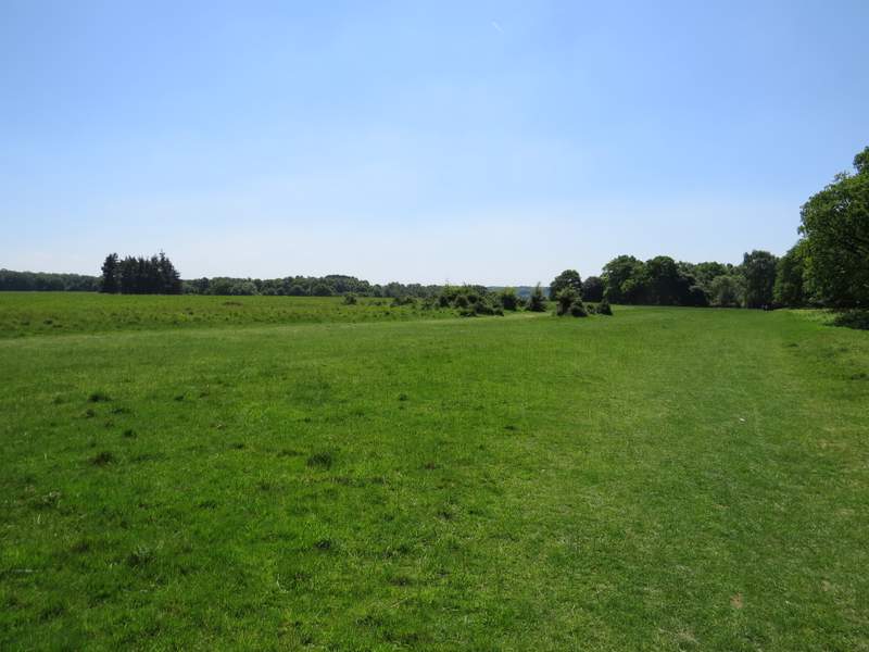
The huge grassy space on Northchurch Common - I followed the right edge then cut through a corner of the trees
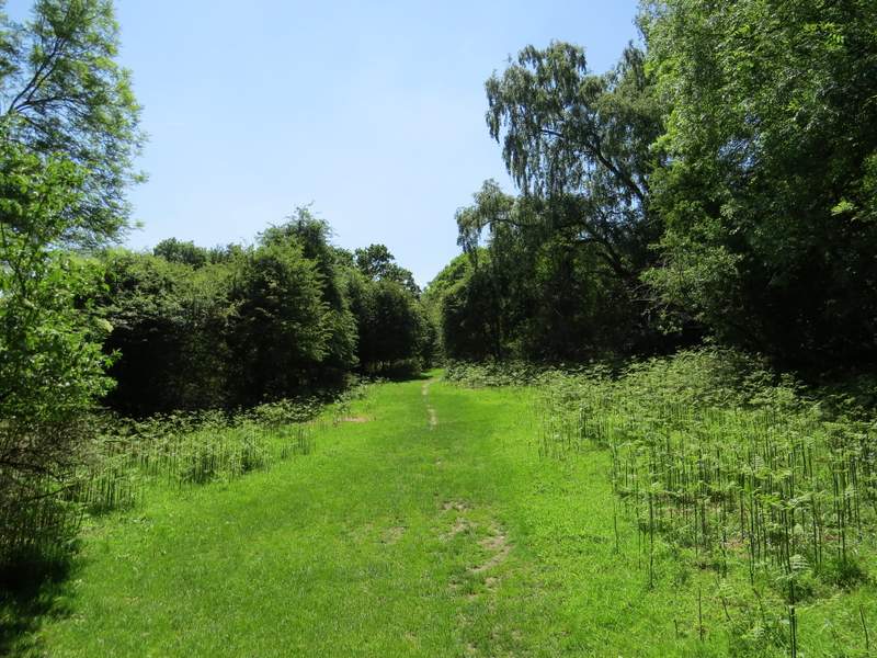
The path on Northchurch Common
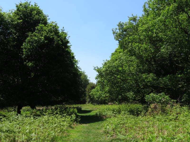
The path on Northchurch Common