Pete's Walks- Lanes of Little Missenden (page 1 of 7)
If you are considering walking this route yourself, please see my disclaimer. You may also like to see these notes about the maps and GPX files.
Google map of the walkDownload GPX file of the walk
I did this walk of about 12 miles on Friday, July 21st, 2017. It was a most unusual route, as it was more or less three short circular walks from Little Missenden one after the other.
The OS map shows that there are six named 'lanes' that start in the vicinity of Little Missenden and head south or slightly west of south. They are each between half a mile and a mile long, ending in Holmer Green or the hamlets of Beamond End and Mop End. At their northern ends, in or near Little Missenden, it is only about a mile and a half between the western-most 'lane', Featherbed Lane, and the eastern-most 'lane', Mop End Lane, but at the southern end they are even closer together, no more than a mile apart. The OS map shows the central two lanes, Penfold Lane and Beamond End Lane, as being proper lanes (i.e. open to motor vehicles) with the others being bridleways, but in fact Beamond Lane is also closed to traffic for most of its length.
Whenever I've looked at this area on the map it has always struck me as very strange to have so many almost parallel 'lanes' so close together, especially as there are only two or three paths linking adjacent 'lanes' together (until you reach the settlements at their southern end).
I only discovered that Beamond End Lane is effectively a bridleway earlier this year, and ever since I've been pondering doing a walk that went up and down the various 'lanes'. As I didn't want to walk all of Penfold Lane as it still is a real lane, thus leaving five lanes for me to walk, I needed a third way of getting back to Little Missenden and this was easily (and pleasantly) accomplished by including the path from Mop End northeast towards Old Amersham and then turning west along the Misbourne Valley.
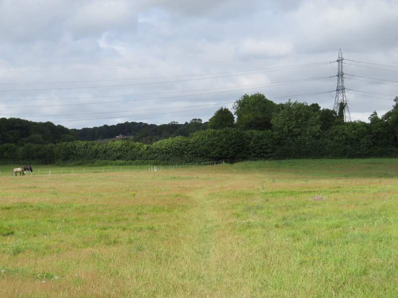
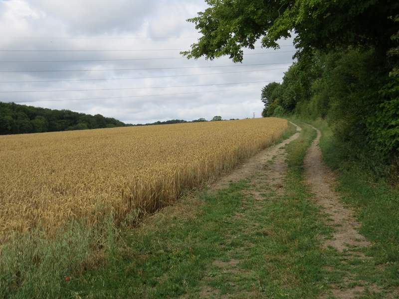
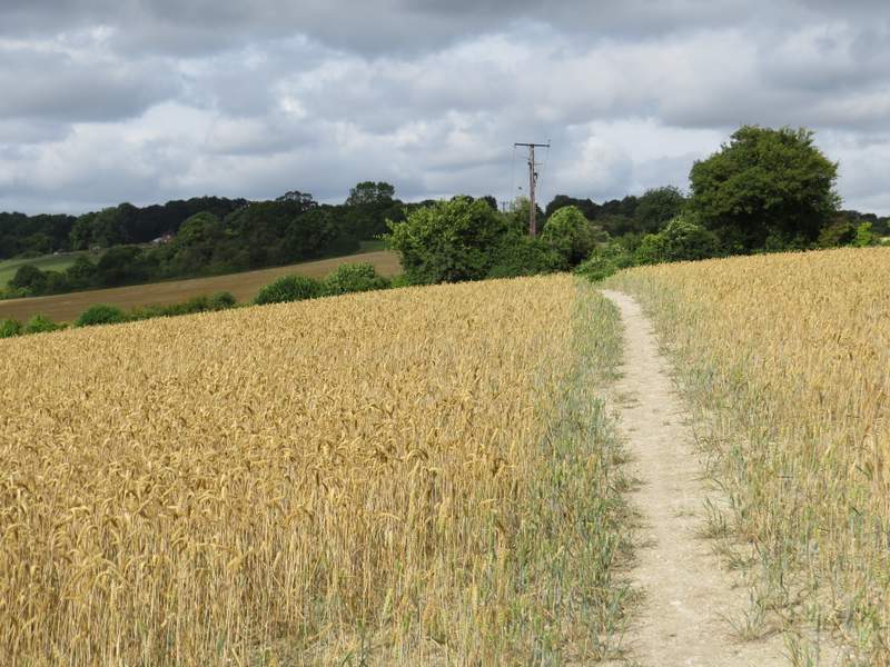
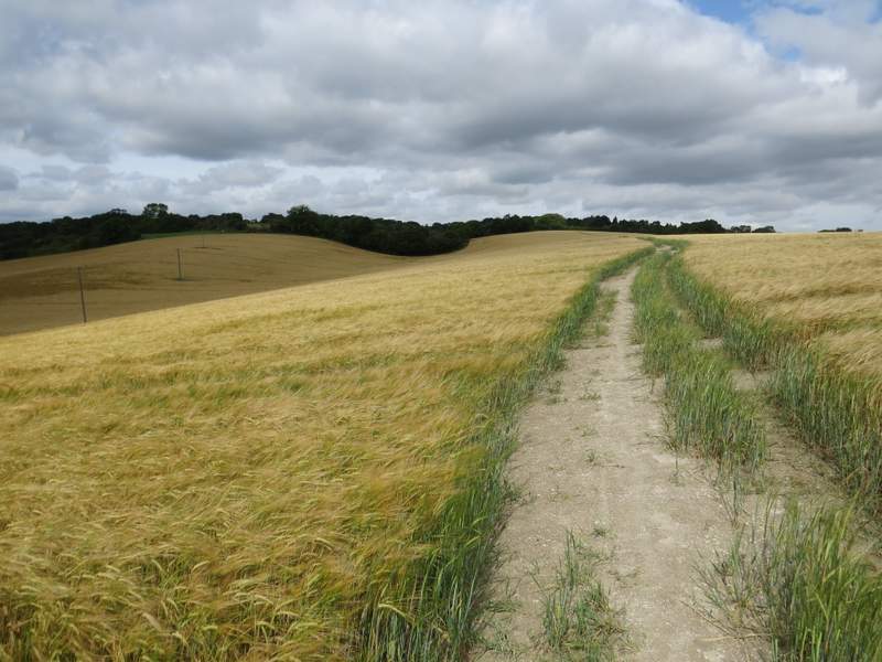
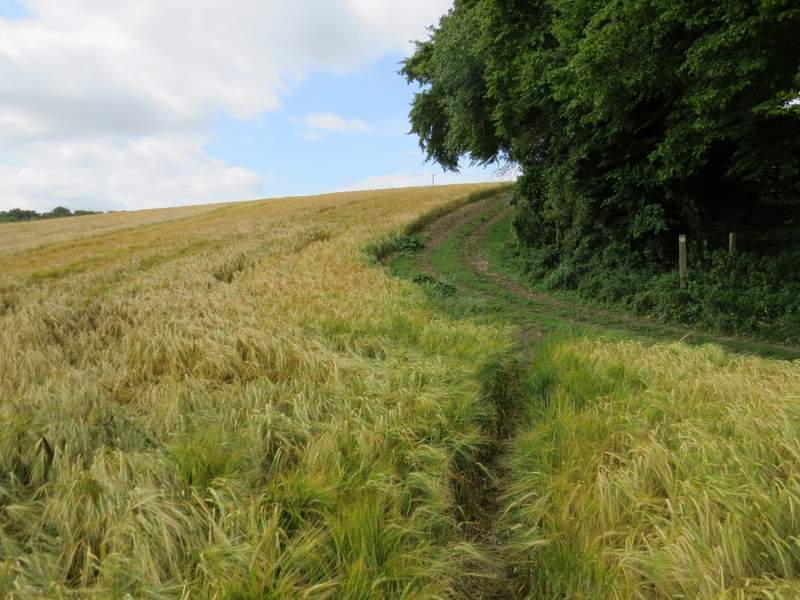
For the second Friday in a row I parked opposite the church in Little Missenden (grid reference SU 921989), and again started walking shortly before 10am. As with last week's walk I started by walking westwards out of the village, and just past the last house taking a footpath on the left (by a 30mph sign painted on the road), which went diagonally across a paddock. It then crossed the start of the bridleway named Kingstreet Lane (I went left here last week), and continue along the right edge of a large corn field, rising very gently uphill and heading towards the distant village of Little Kingshill. When the hedge on my right turned right the path continued straight on across the field, and through the next hedgerow it carried on gently rising uphill through a much larger cornfield. When I came more or less level with a hedge corner down to my left, I followed a narrow path through the corn down to it, and continued up the other side of this 'dip' with the hedge on my right. A waymark then showed where the path went over a stile and switched to the other side of the hedgerow, continuing through a couple of overgrown paddocks to Affrick's Farm.
The start of the path from Little Missenden, heading west towards Little Kingshill
The path from Little Missenden, heading west towards Little Kingshill (this is shortly after crossing the bridleway named Kingstreet Lane)
The path from Little Missenden, heading west towards Little Kingshill
The path from Little Missenden, heading west towards Little Kingshill (I turned left in the middle of this field to reach the tall hedge in the dip in the centre of the photo)
This is where I reached the tall hedge seen in the previous photo - I followed it uphill
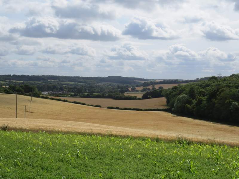
A view back towards Little Missenden and the Misbourne Valley (taken from near where the path switches to the other side of the hedgerow)
The path continuing towards Affrick's Farm
The path continuing towards Affrick's Farm
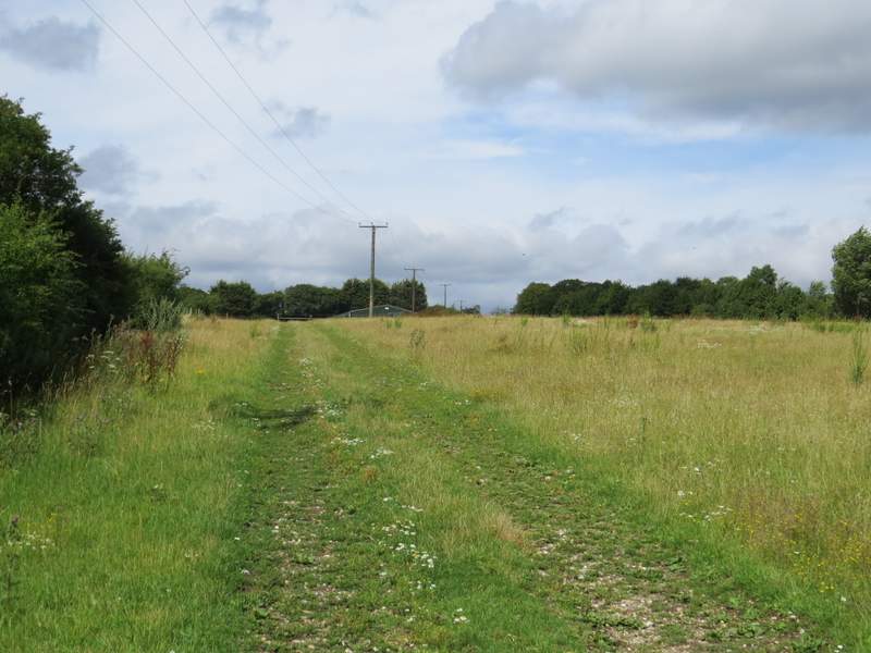
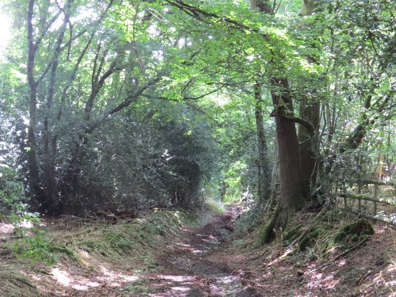
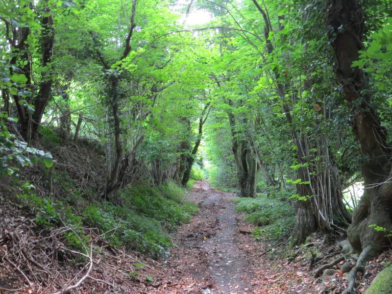
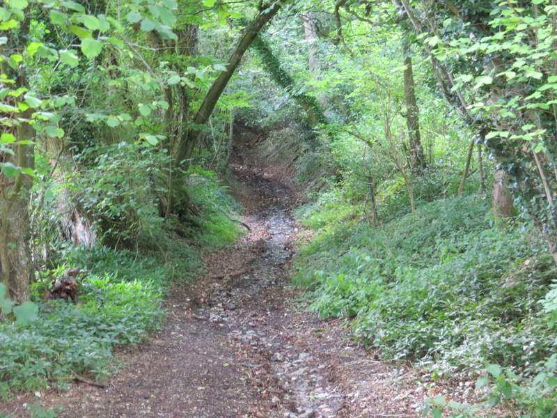
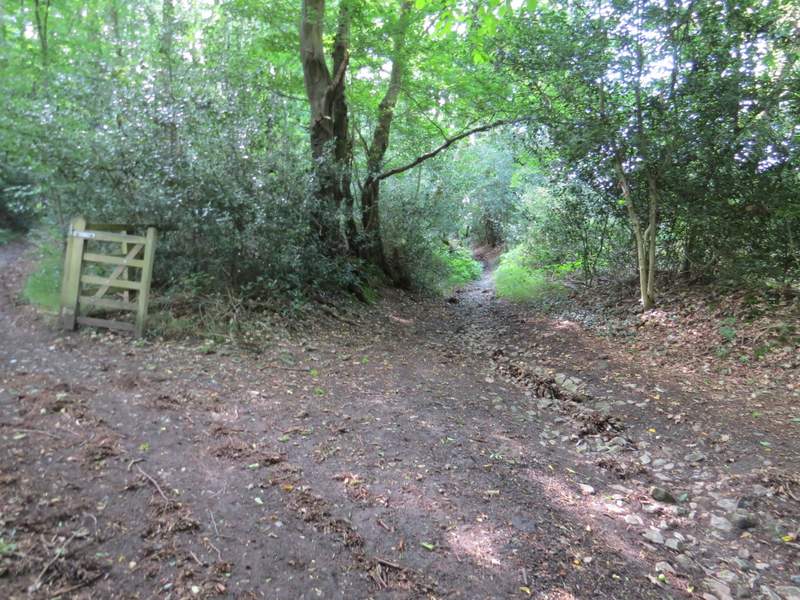
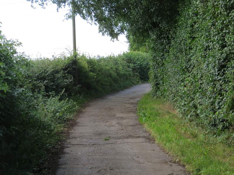
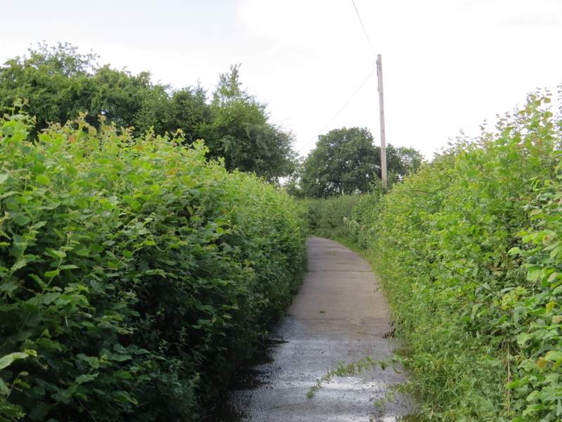
Just before the end of the farm drive, a bridleway went very sharply left so that I was almost doubling back on myself This was the start of Featherbed Lane, the first of the five 'lanes' I'd be walking today. It dropped steadily downhill through a small wood, continuing between tall hedges as it crossed a valley bottom, then entered more woodland as it climbed the other side of the valley - here I have previously always taken a parallel footpath that forks left, but today I stayed on the bridleway. On the far side of the wood, the now level bridleway became a surfaced lane (there was another opportunity to join the footpath here) - I was a little surprised, as I remembered this as being a muddy track. Anyway I followed this lane several hundred yards to its end in Holmer Green where I turned left.
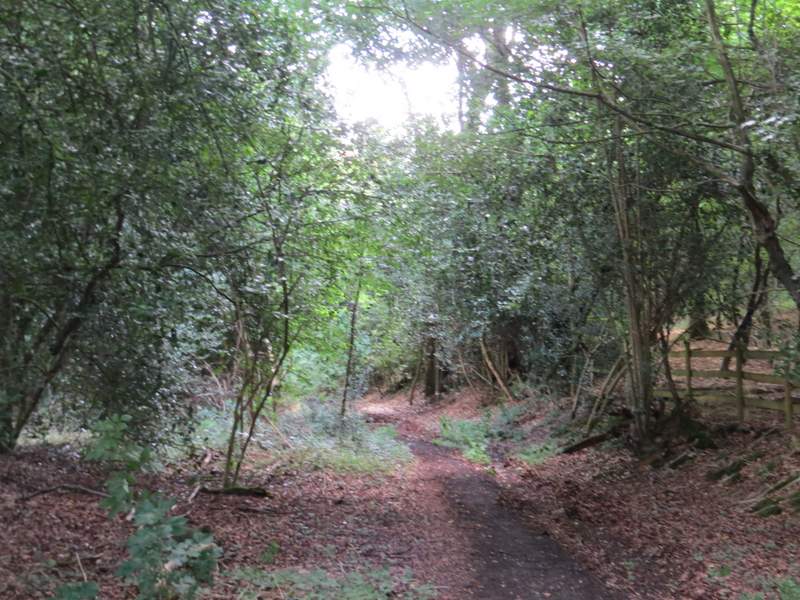
Near the start of Featherbed Lane
Featherbed Lane
Featherbed Lane
Featherbed Lane
Featherbed Lane - previously I've always used the parallel footpath that starts here, on the left
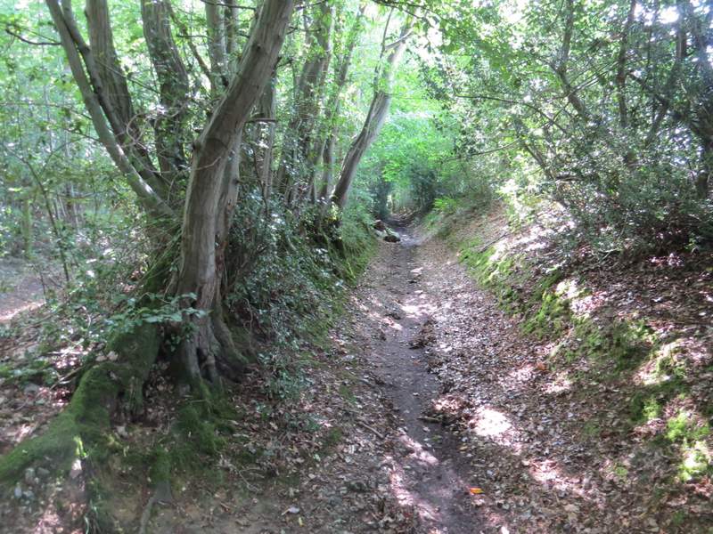
Featherbed Lane (the parallel footpath can be seen on the left)
Featherbed Lane
Featherbed Lane
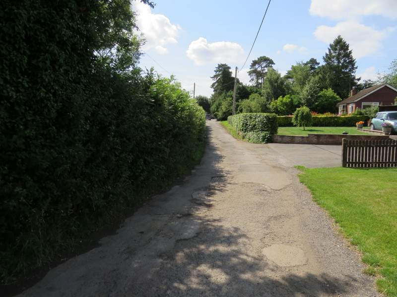
Featherbed Lane, now in Holmer Green