Pete's Walks- Bledlow and Radnage (page 1 of 4)
If you are considering walking this route yourself, please see my disclaimer. You may also like to see these notes about the maps and GPX files.
I did this circular walk of about 8.5 miles on Saturday, 19th August 2017. It was a repeat of a walk I've done several times before (I followed 'Alternative 3' on the Google map, which I usually do now). The reason I did it today was that I wanted to stop off at the Yoesden nature reserve (about halfway through the walk) to look for Adonis Blue butterflies - I only found out last weekend that they could be found in the Chilterns, and this was the time of year to see them.
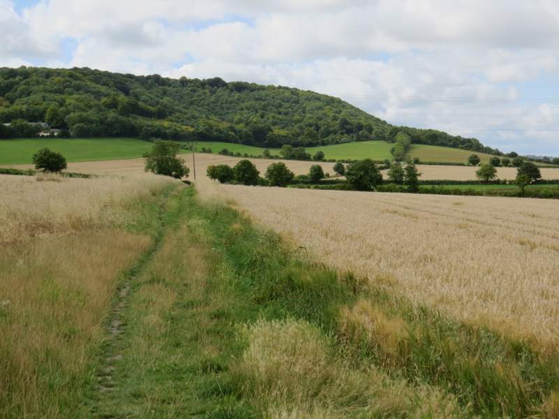
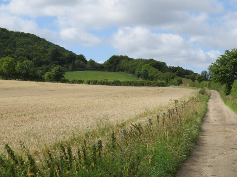
I parked outside the church at Bledlow (grid reference SP 778022) and started walking just before 11am (I'd deliberately started late in an attempt to be at Yoesden at the sunniest part of the day). With the churchyard on my right initially, I walked down the road until it started to turn right, where I walked straight on for a few yards past the Lions of Bledlow pub, then took a footpath going half-left across a corn field. On the far side I reached a track, where I turned right and followed it for several hundred yards to reach the Hamlet of Hempton Wainhill. I followed the track as it passed to the right of the first house I came to, then I turned left onto a bridleway. This climbed steadily up the wooded slope of Chinnor Hill, obviously an old route as it had worn a groove into the hillside.
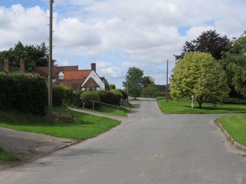
Bledlow - I took the left fork here
The path from Bledlow
The bridleway to Hempton Wainhill
The start of the bridleway up Chinnor Hill
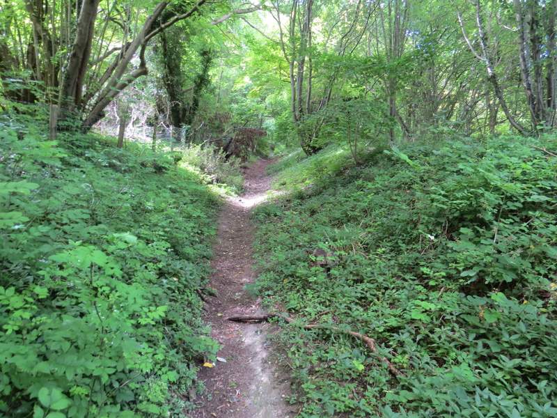
The bridleway up Chinnor Hill
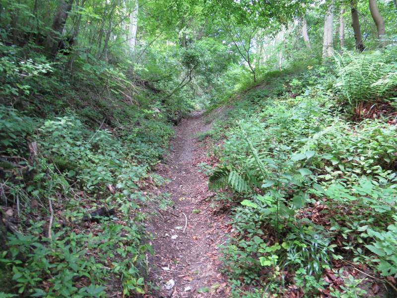
The bridleway up Chinnor Hill
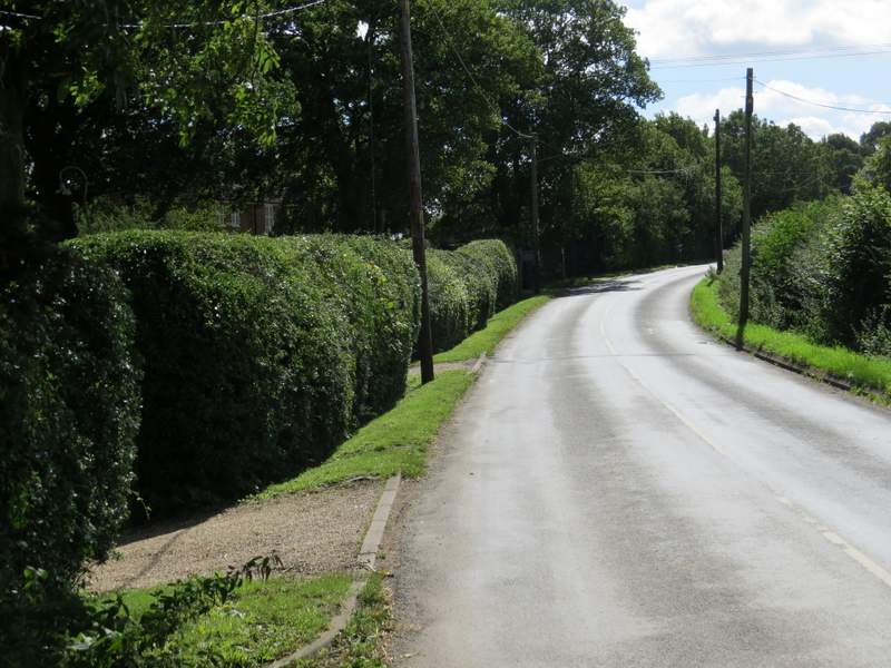
When the bridleway levelled out, I varied the way I usually go here by forking right onto a short permissive path that brought me out onto the open top of Chinnor Hill, where I admired the far reaching view. I then turned left to rejoin the bridleway, following it right to reach a small car park. A lane started here, which I followed for a few hundred yards (where I totally forgot to take a photograph) to reach a minor road. Here I went left for a couple of hundred yards or so, before taking a path on the left by the entrance to Woodlands Farm. This followed the left edge of a small enclosure, then passed Badgers View Farm and followed its drive to return to the same road I'd just been on.
The short permissive path on Chinnor Hil
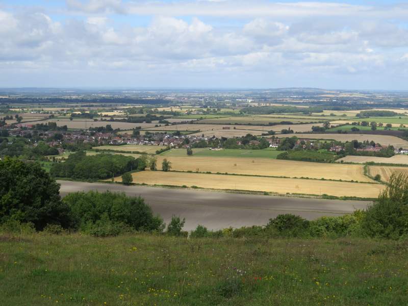
View from Chinnor Hill
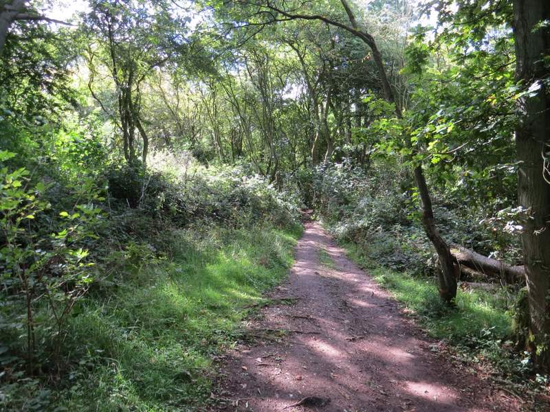
The bridleway on Chinnor Hill, nearing the car park
The road on Chinnor Hill
The footpath that starts by Woodlands Farm
The footpath after passing Badgers View Farm
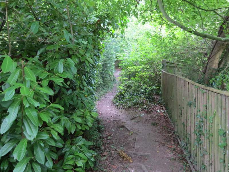
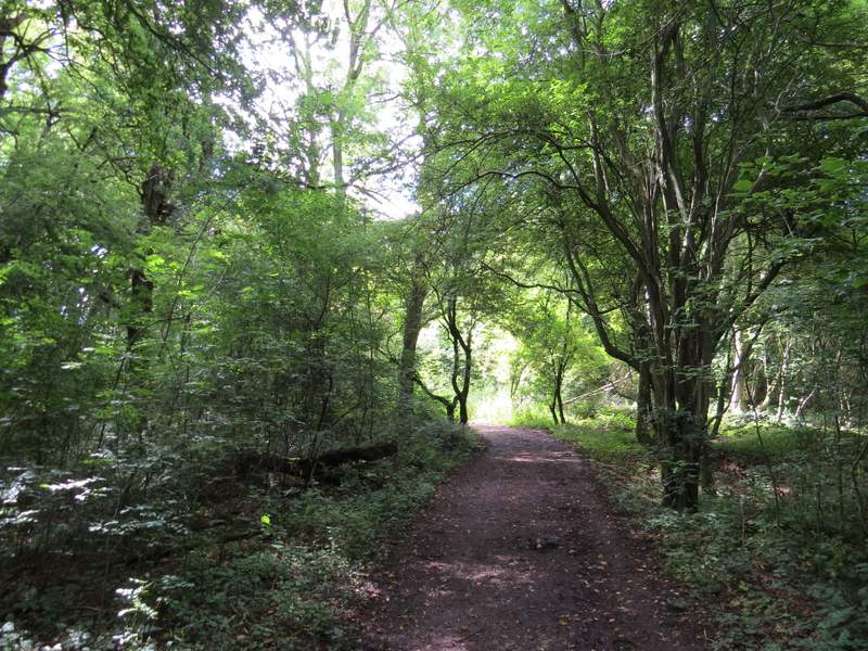
I turned right along the road and followed it as it turned right. I then turned down the first drive on the left, where after a couple of yards a bridleway forked left through the trees of Sunley Wood (this is the start of 'Alternative 3' on my Google map, my original route took a footpath on the bend). A short way along the bridleway I passed close to a house on my left, the bridleway then starting to descend steadily through the wood.
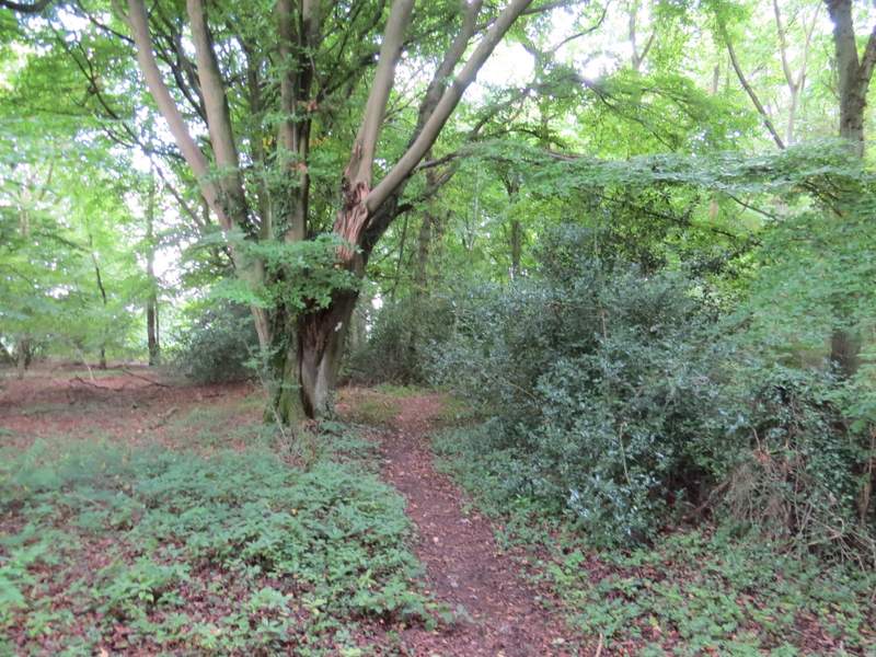
The bridleway through Sunley Wood
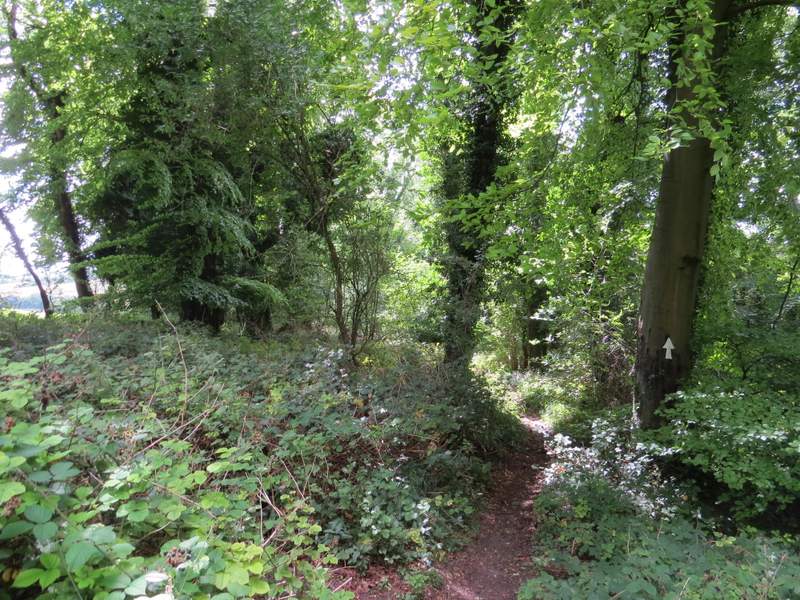
The bridleway through Sunley Wood
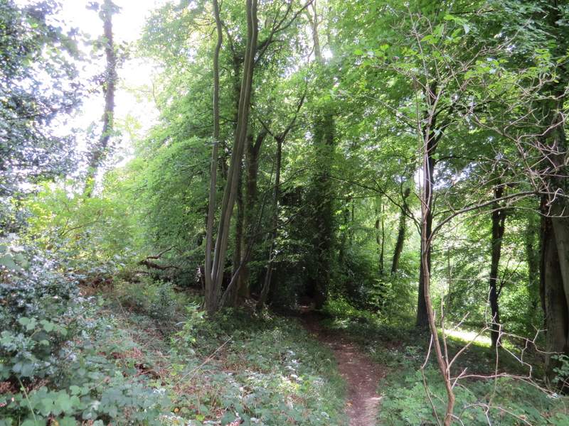
The bridleway through Sunley Wood
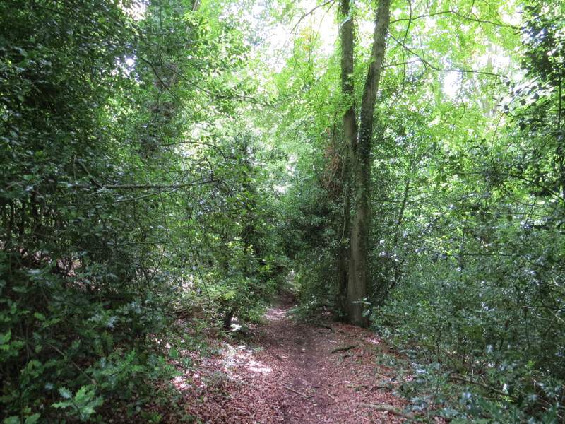
The bridleway through Sunley Wood