Pete's Walks - Chalfont St Peter and Amersham Old Town (page 1 of 3)
If you are considering walking this route yourself, please see my disclaimer. You may also like to see these notes about the maps and GPX files.
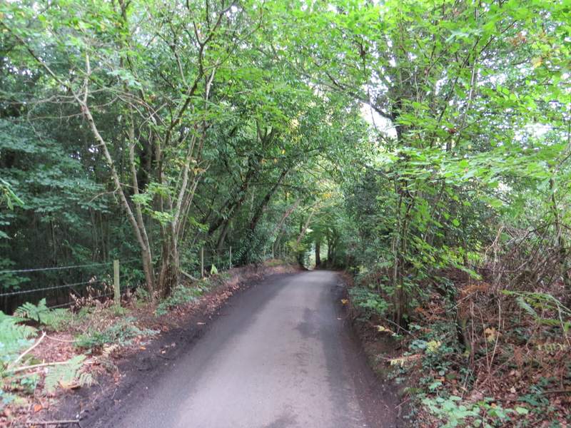
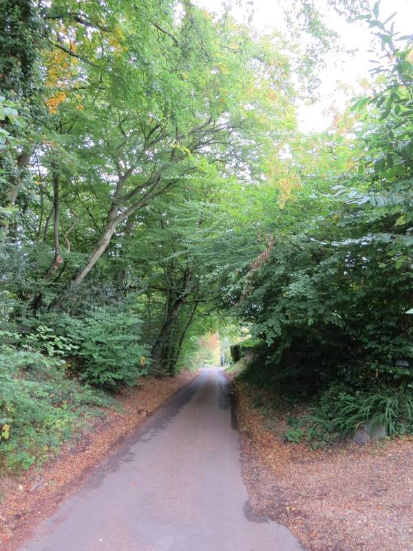
I did this walk of about 7.9 miles on Saturday, 23rd September 2017. I parked in the car park in the centre of Chalfont St Peter, behind the church (grid reference TQ001908), and started walking about 10.05am. From the junction of Church Lane and Market Place, I turned right and headed uphill, passing a long line of shops (Chalfont St Peter is technically a village, but one of the largest in the UK with a population of about 13,000 - there can't be many villages that have three hairdressers or barbers in the same street, as I saw here!). As the guidebook instructed, I stayed on the right-hand pavement as it turned half-right into Nicol Road. This continued gradually uphill, before levelling out. As I approached its far end, I crossed a small green ahead of me, then crossed a road and went down a footpath almost opposite. This ran between fences for a while, then ran just inside a wood, passing a pond on my right at one point.
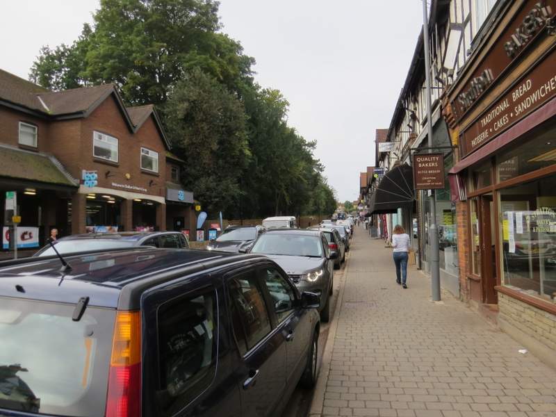
The road through Chalfont St Peter
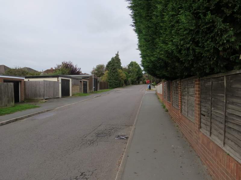
Nicol Road
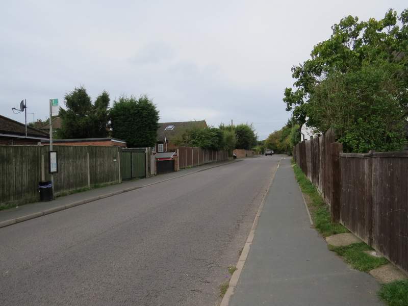
Nicol Road
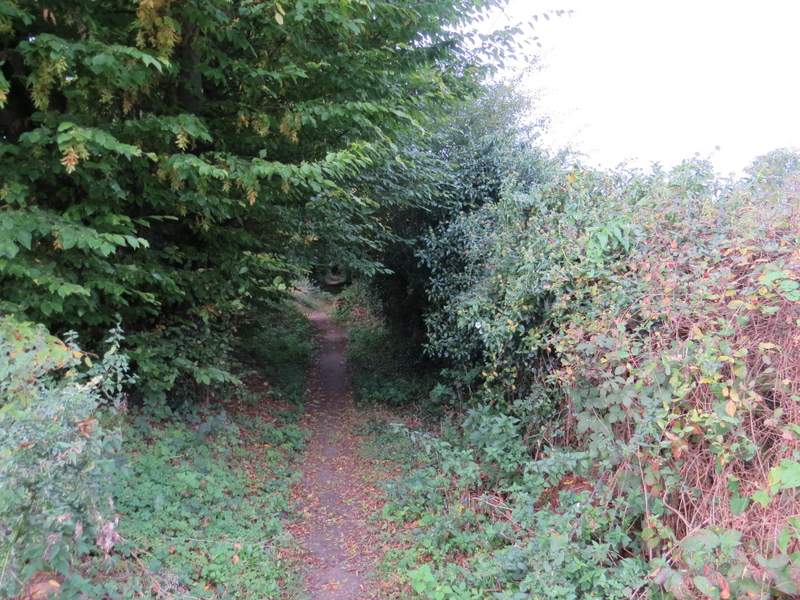
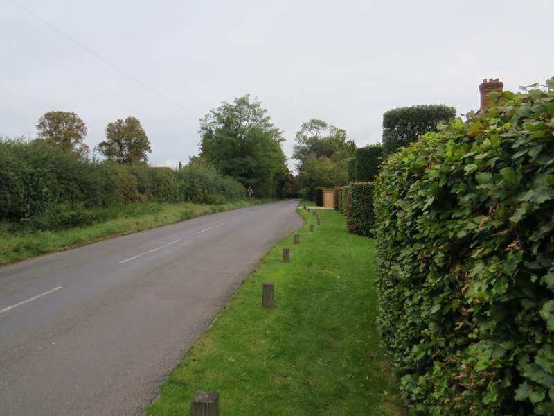
The footpath going west from Chalfont St Peter
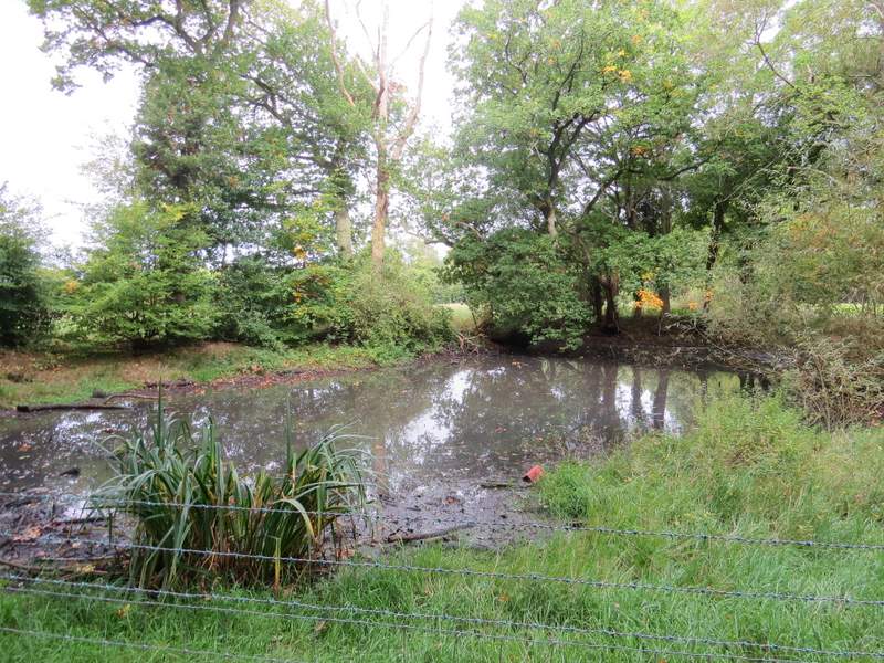
Pond beside the footpath going west from Chalfont St Peter
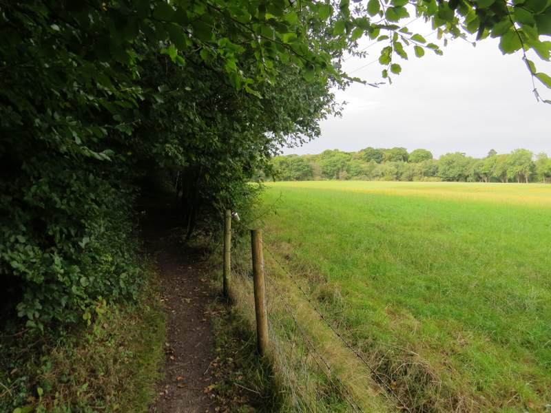
The footpath going west from Chalfont St Peter
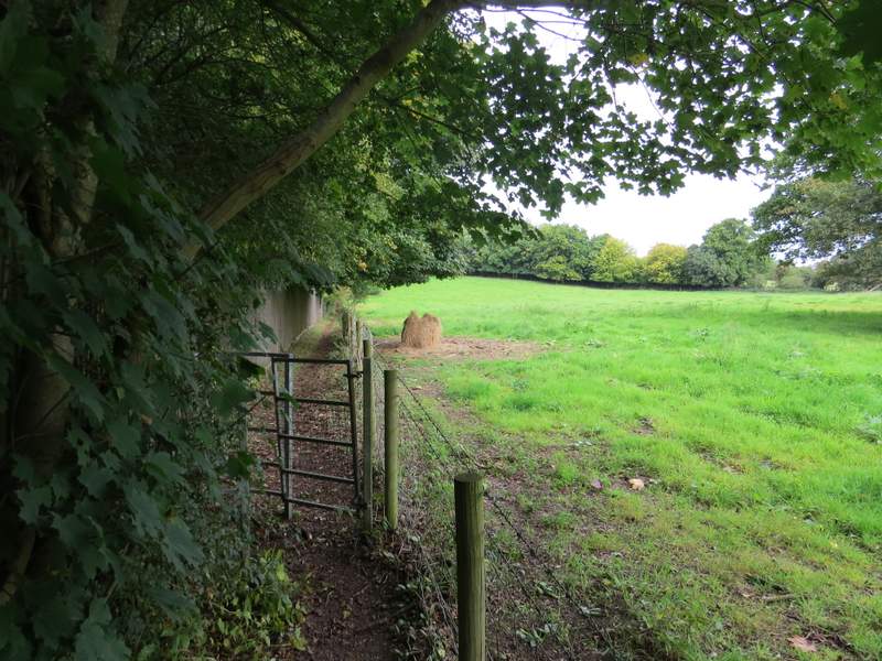
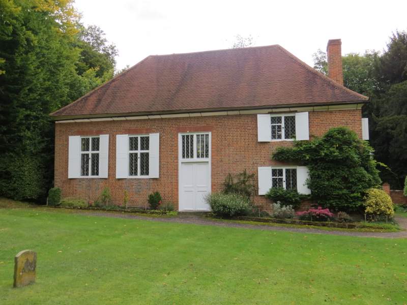
Beyond the end of a field to my right, and where some overhead wires that had been running alongside the wood turned half-right, I took a footpath (heading to the village of Jordans) that followed more or less the line of the wires and crossed a large meadow diagonally to its far corner. The path then continued a short way between bushes, then ran between fences, with a wood initially on my left and empty pastures on my right. It then carried on between more fences to reach Welders Lane, which I followed to the left. Just before the lane ended at a T-junction, I took the smaller of two gates on the right to walk in front of the Quaker meeting house at Jordans, where I saw the grave of William Penn, founder of Pennsylvania, along with those of members of his family.
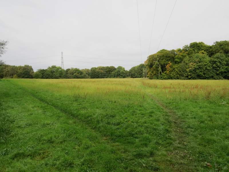
The start of the path to Jordans
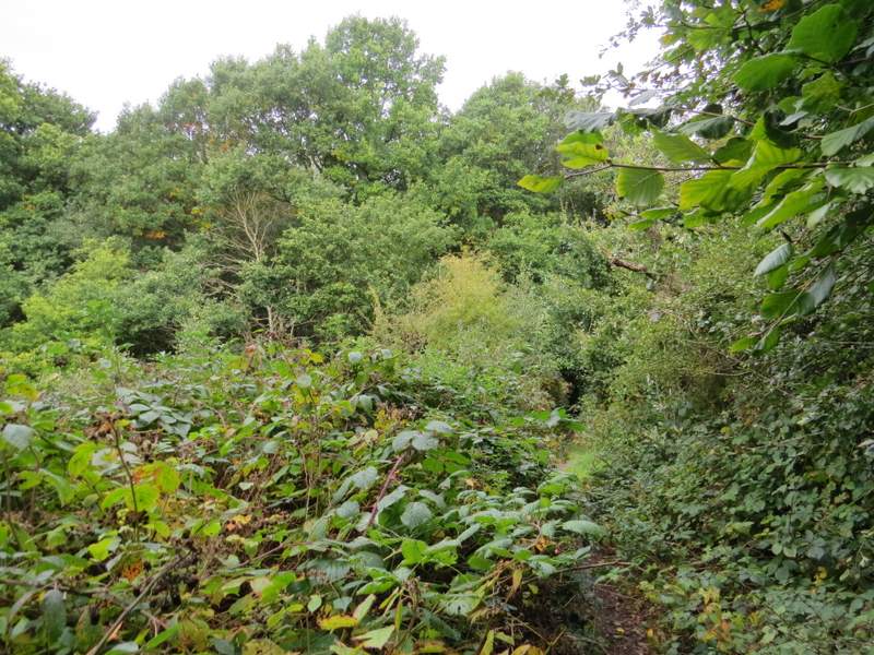
The path to Jordans
The path to Jordans
Welders Lane
The Quaker meeting house, Jordans
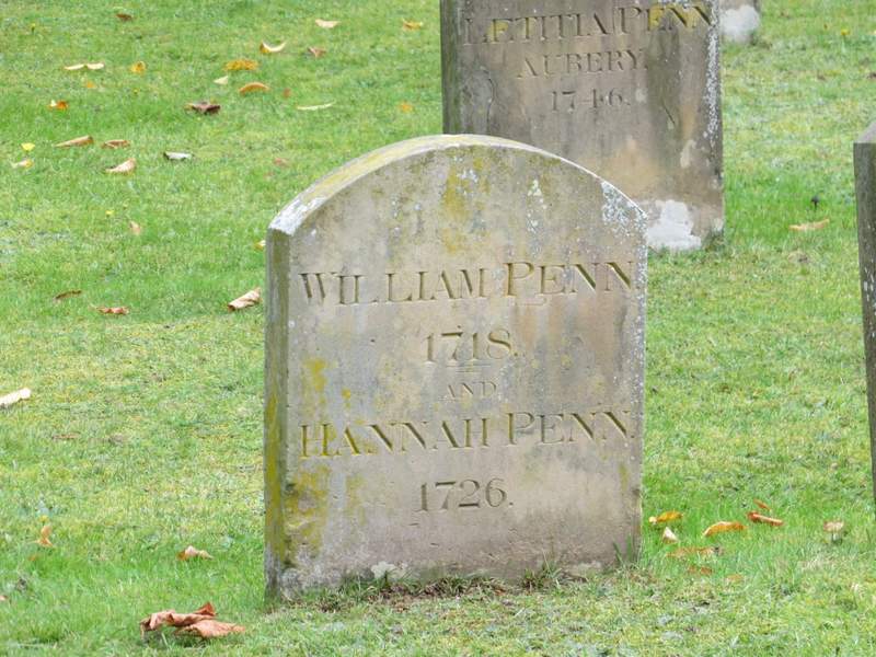
Grave of William Penn, founder of Pennsylvania
I went straight on through the grave yard and through a gate, where a path went left for a few yards then turned right alonside a road. I soon passed the Mayflower Barn, reputed to ne partly built from timbers from the ship that took the Pilgrim Father's to America (it is privately owned now, and not open to the public). After a while there was a short path running beind a hedge, parallel to the road. Where this ended, I turned left to follow Seer Green Lane through the centre of Jordans. Shortly after passing the large village green on my right, the lane started to descend surprisingly steeply to where it crossed Copse Lane.
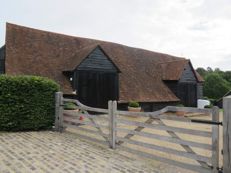
The Mayflower barn
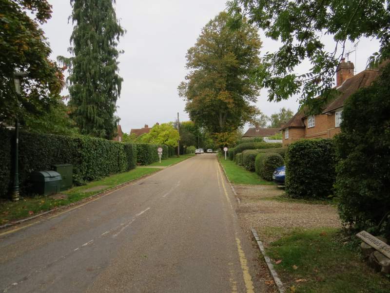
The road through Jordans
Seer Green Lane, Jordans
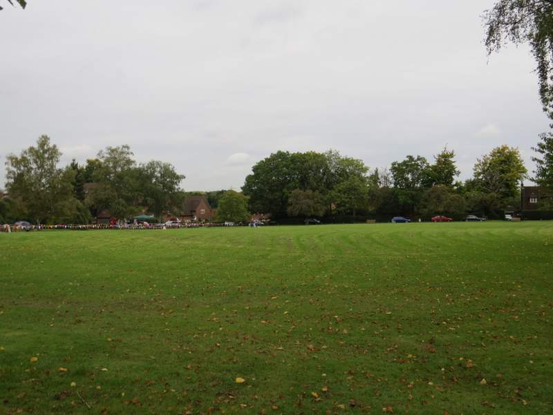
The village green, Jordans
Seer Green Lane, Jordans, descending to Copse Lane