Pete's Walks - Chalfont St Peter and Amersham Old Town (page 2 of 3)
If you are considering walking this route yourself, please see my disclaimer. You may also like to see these notes about the maps and GPX files.
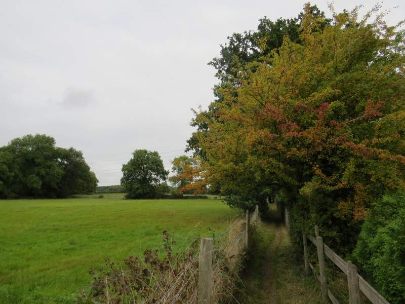
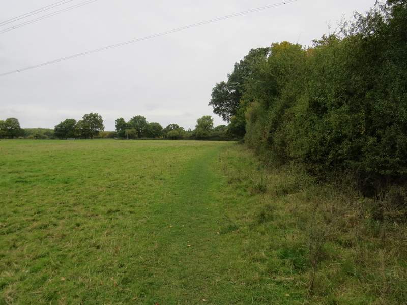
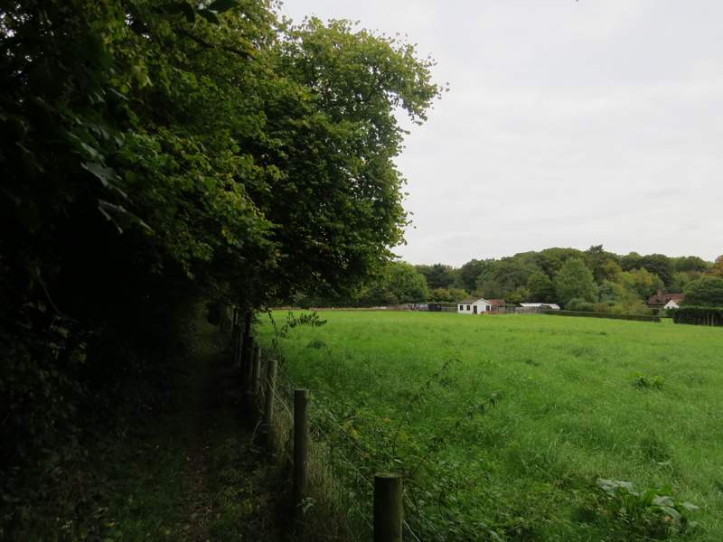
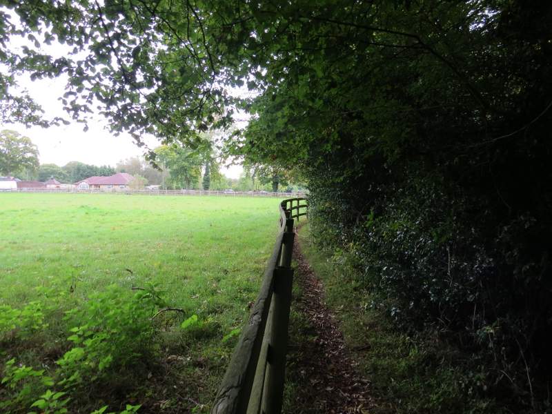
I continued straight on, still descending until the lane ended where it met a crossing bridleway (Wilton Lane). Again I went straight on, now on a footpath, between well-trimmed hedgerows. Further on the path ran between trees and green fields to my right. It eventually brought me to a gravel drive, which I followed to the left to emerge in Seer Green, opposite the parish hall.
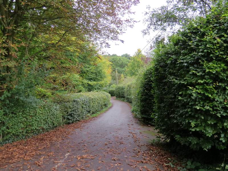
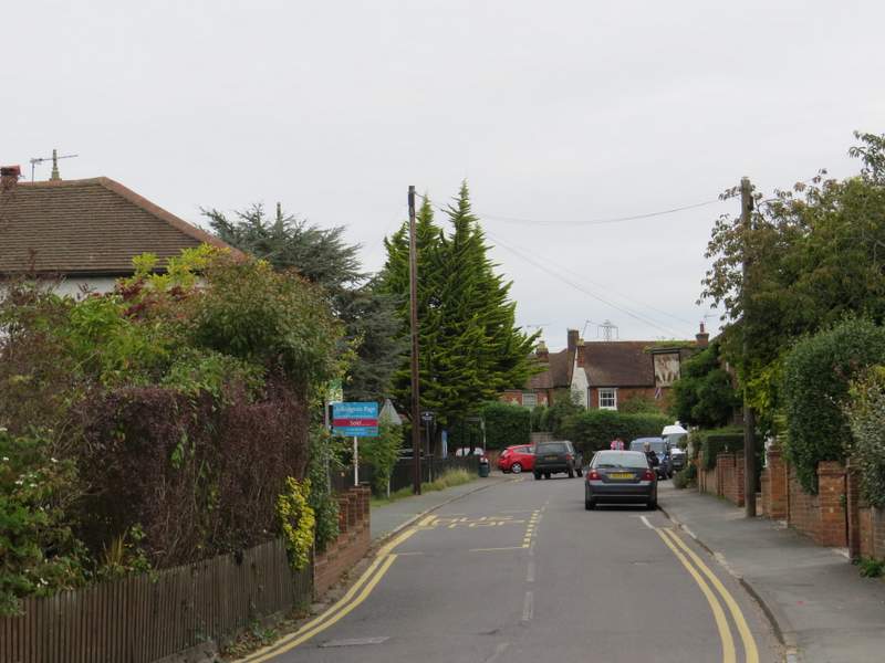
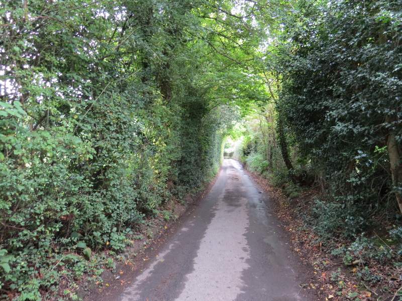
Seer Green Lane, after crossing Copse Lane
 />
/>
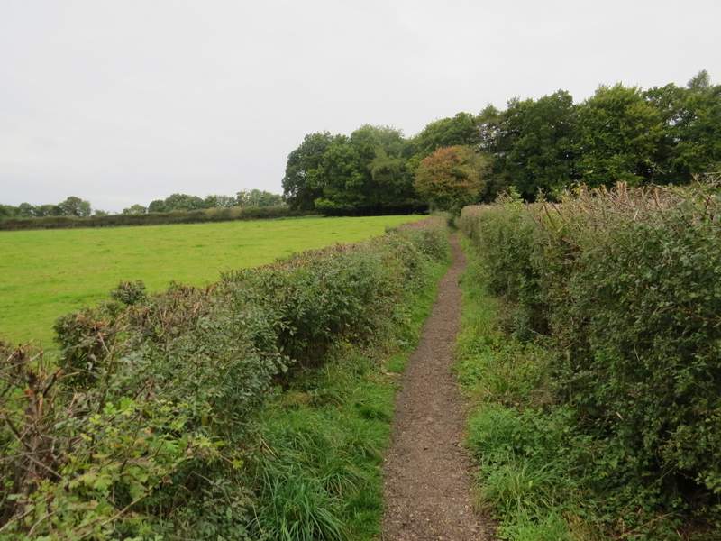
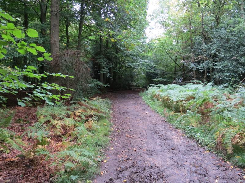
The path to Seer Green
The path to Seer Green
The path to Seer Green
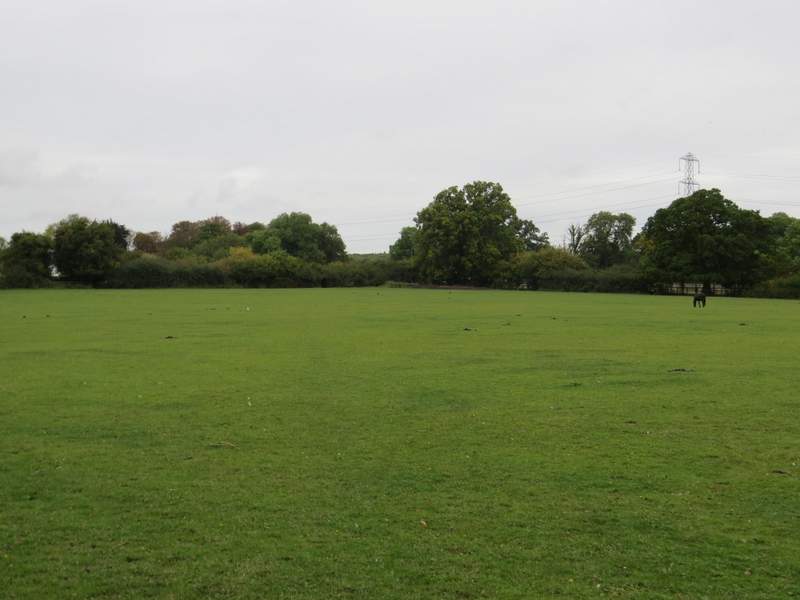
I turned right along the street here to reach the Jolly Cricketers pub on the right and the village church on the left, where there was a sign listing the years when Seer Green had won the 'Best-kept village in Buckinghamshire' award (seven times since 1972, most recently in 2013). I turned right immediately after the church soon coming to the Three Horsehoes pub, where I followed the road as it turned right. After two or three hundred yards I turned right on a footpath that went down an alley, where after a few yards I went half-left at a fork. The path continued along alleyways, going over a couple of streets, to reach a stile. Here I went half-left across a huge paddock containing just a couple of horses. Near the opposite corner I went over another stile, half-hidden in the hedgerow, and turned right along another path. After running a short way between hedges or fences, the opath continued through two or three pastures or paddocks, close to a wood on my right, then continued between a hedge on my left and a fence on my right for a few hundred yards to reach Rawlings Lane, where I went right
Seer Green
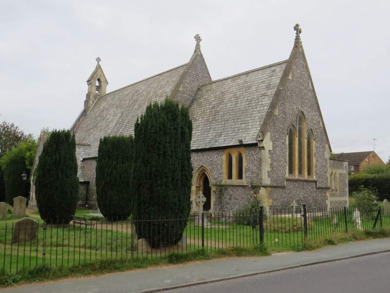
Seer Green church
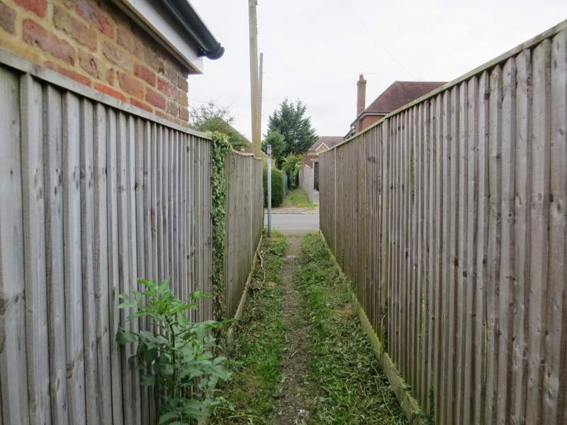
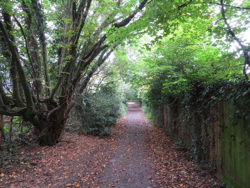
The path through the alleys at Seer Green
 />
/>
The path going half-left across a paddock, on the edge of Seer Green
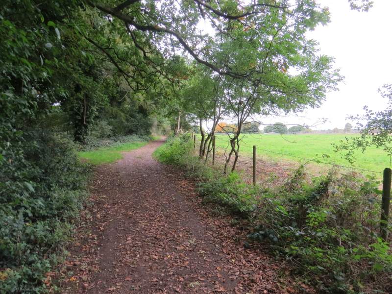
The path going north from Seer Green
The path going north from Seer Green
The path going north from Seer Green
Rawlings Lane
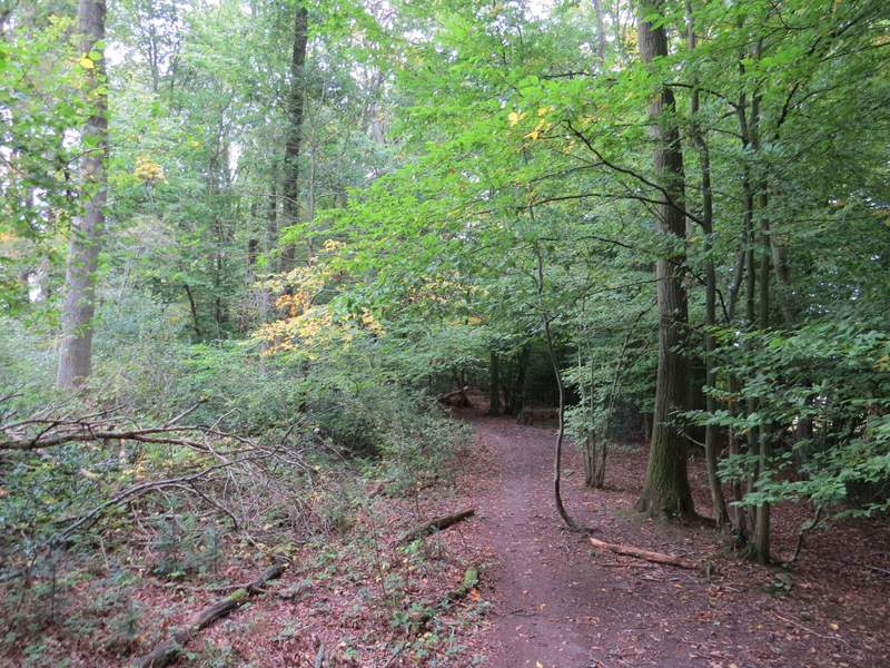
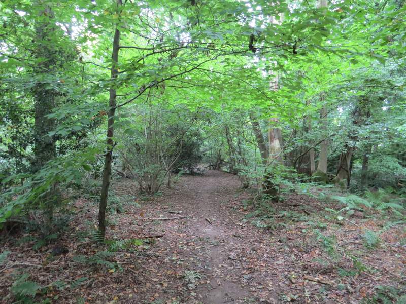
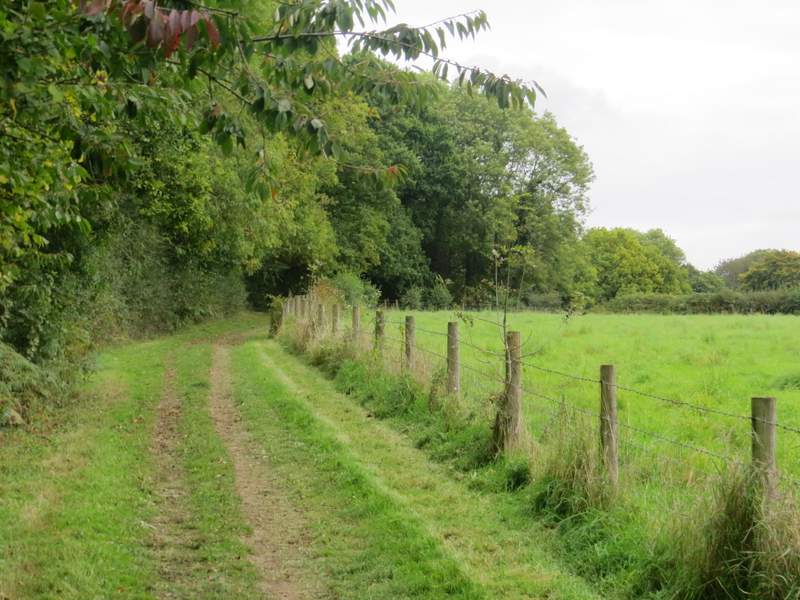
When Rawlings Lane turned right, I took a path that also went right, separated from the lane by a tall hedge and with paddocks to my left. The path soon turned left to reach a stableyard, from where it continued into Hodgemoor Woods (the guidebook presumes from the plural name that there must once have been more than one wood here, but they must have gradually merged into what is now just one very large wood, a Site of Special Scientific Interest). After following a path close to the right edge of the wood for about a third of a mile, I turned right on a very short path that immediately left the wood, where I turned left along a bridleway beside the wood (I think this is a slight cahnge from when I walked the Chiltern Heritage Trail in 2006), After two or threee hundred yards the bridleway turned left to re-enter the wood. After a short distance, it turned right, then went slightly left where white arrows on a tree indicated a junction with another path going straight on. After another 50 yards or so I came to another junction - the larger path here went slightly left, but I went more or less straight on for a short distance to reach Botterells Lane.
The path to the stables, parallel to Rawlings Lane
The path through Hodgemoor Woods
The path through Hodgemoor Woods
The bridleway beside Hodgemoor Woods
Back in Hodgemoor Woods