Pete's Walks - Little Missenden, Misbourne Valley, Hodgemoor Woods (page 1 of 5)
If you are considering walking this route yourself, please see my disclaimer. You may also like to see these notes about the maps and GPX files.
Google map of the walkDownload GPX file of the walk
I did this circular walk of about 14.8 miles on Sunday, 9th September 2018. It was a repeat of a walk I did in May 2012, but this time I did it in the opposite direction (clockwise).
I parked by the ancient church in Little Missenden (grid reference SU 921989) and started walking about 10.25am. With the church on my left, I set off along the road through Little Missenden, soon passing The Manor House on my left and then The Red Lion pub. I carried on, and shortly after passing The Crown (just voted the 'Best Country Pub' in the 2019 edition of The Good Pub Guide) I took a footpath on the right as the road turned left. The path followed a track eastwards through the Misbourne Valley, and then continued through the grounds of Shardeloes, a large white house (now apartments) up on the hill on my right). About a mile and a quarter after leaving Little Missenden, shortly after passing a lake on my left, I reached a cricket ground, where I followed the drive from behind the pavilion to where it met a drive coming down from Shardeloes.
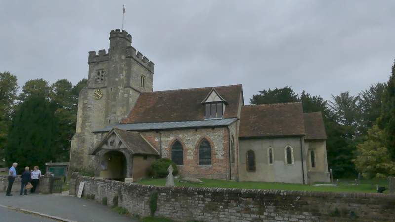
Little Missenden church
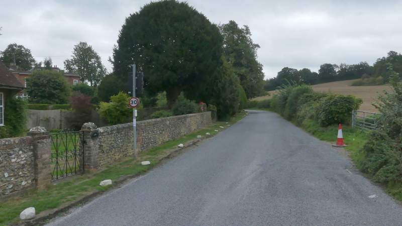
The road through Little Missenden
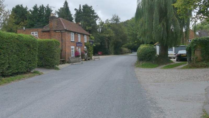
The road through Little Missenden
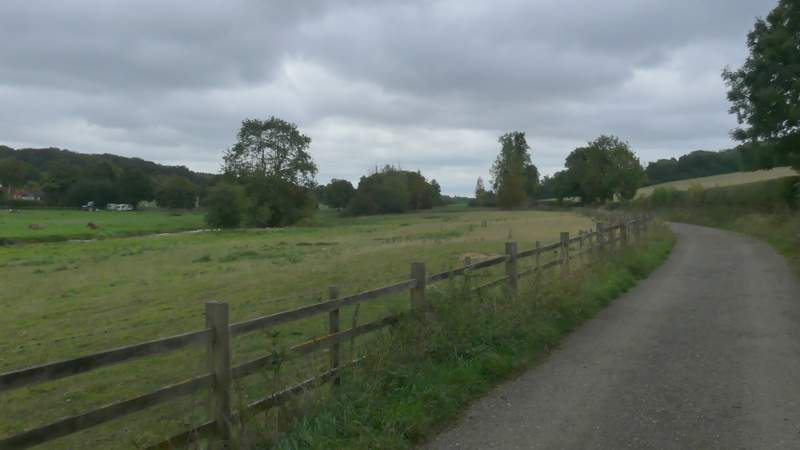
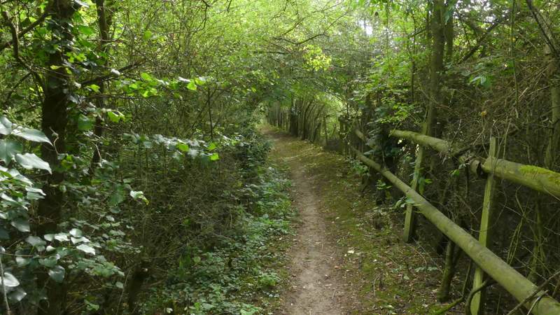
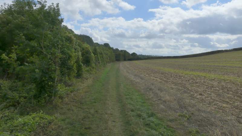
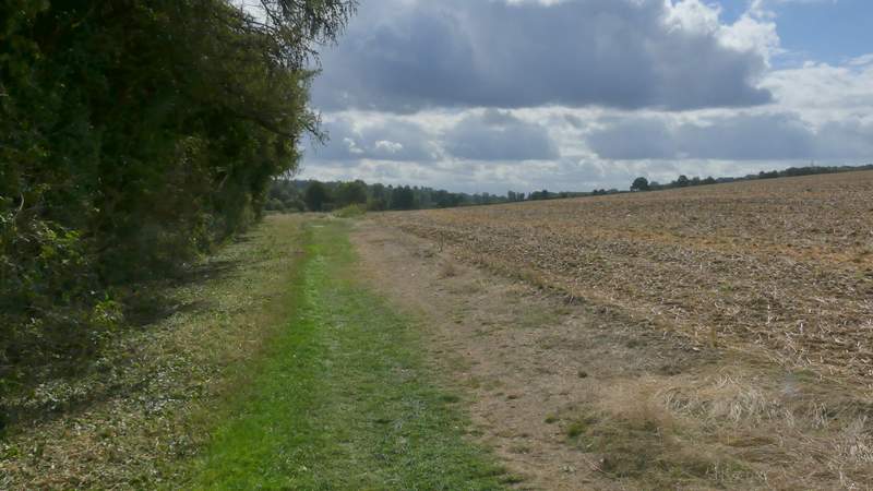
Near the start of the path through the Misbourne Valley, going east from Little Missenden
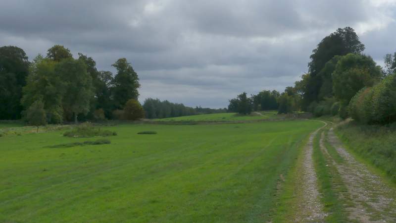
The path through the Misbourne Valley, going east from Little Missenden
The path through the Misbourne Valley, going east from Little Missenden
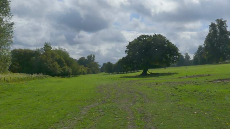
The path through the Misbourne Valley, going east from Little Missenden
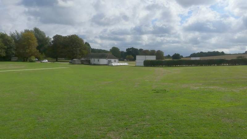
The cricket ground on the edge of Amersham Old Town
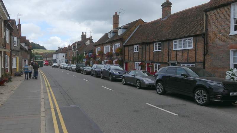
Across the drive I took another footpath - this should have cut across a section of a field, but as the path hadn't been re-instated after ploughing I followed the broad grass strip round the left edge of the field. Where some trees ended on the left, I turned left and followed the edge of the trees to reach a hedge where I soon found a stile. Over this, I crossed the A413, and took a path on the other side. After a short section through trees, this continued along a 'green tunnel' of overhanging hedges. After crossing the end of a lane, the path was soon back in a 'green tunnel', which brought me to a small cemetery on my right, where I continued straight on down a street called The Platt in Amersham Old Town, passing several attractive old cottages. At its end I turned left along Whielden Street. The end of this street was closed to traffic today, as was part of the High Street (where I turned right). It was Amersham Heritage Day, and there were fairground rides and many classic cars, amongst other attractions.
The path after crossing the A413
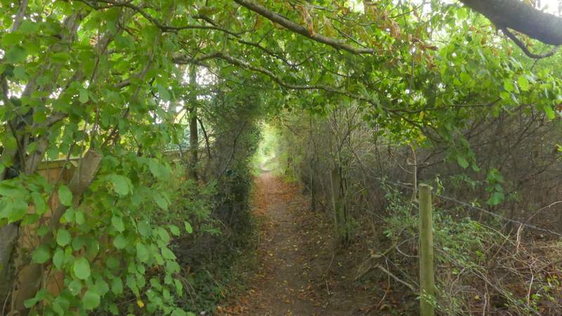
The path after crossing the A413
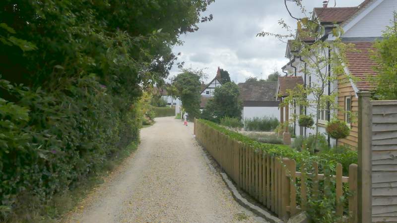
The Platt
Whielden Street
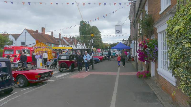
Amersham Heritage Day in full swing in the High Street in Amersham Old Town
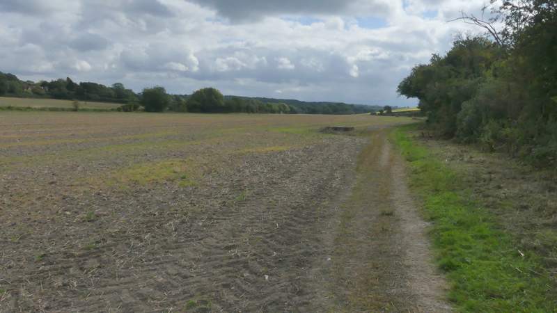
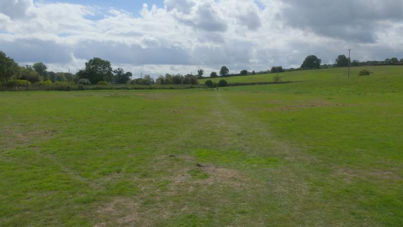
Just past a roundabout I turned right from the High Street, the path going down a gravel drive and bearing left to reach a gate. Beyond this I crossed a meadow or pasture to reach a bridge under a main road. Beyond this I entered a very large meadow. By a gate in the hedge on the right, the path forked slightly left from the hedge, and I followed it to reach a gate in the far hedge row (the OS map shows the path initially going left from the entrance to the meadow). There was then a long stretch along the right edge of a ploughed field, with the Misbourne running along the far side though I couldn't see it. The path continued on along the valley, passing a tall hedge on the left behind which were some waterworks. The path then ran through some rough grass before crossing a small pasture to reach Bottom House Farm Lane.
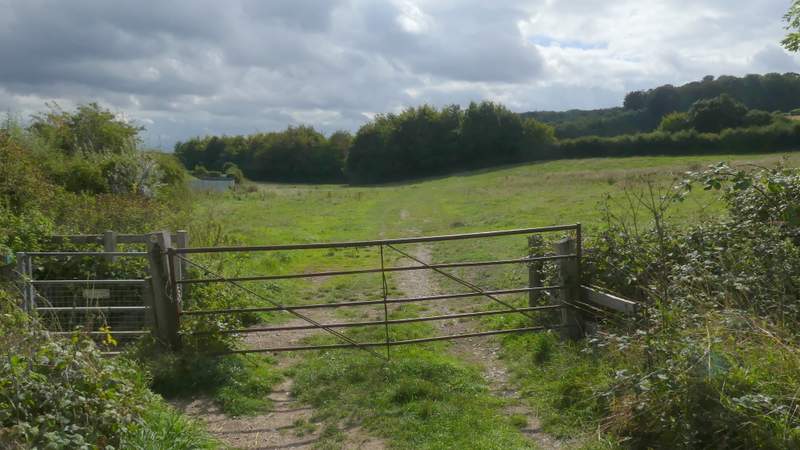
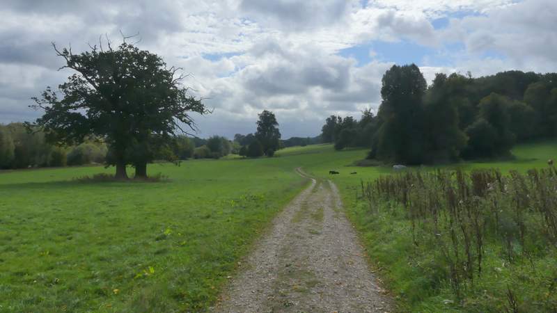
Near the start of the path along the Misbourne Valley, going southeast from Amersham Old Town
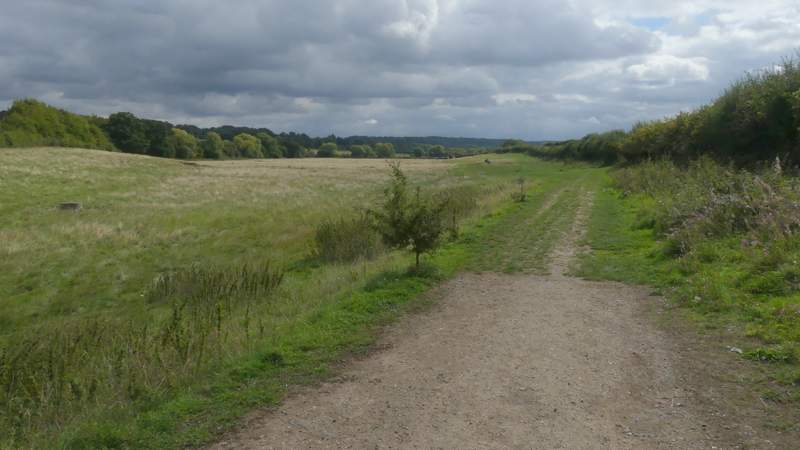
the path along the Misbourne Valley, going southeast from Amersham Old Town
the path along the Misbourne Valley, going southeast from Amersham Old Town
the path along the Misbourne Valley, going southeast from Amersham Old Town
the path along the Misbourne Valley, going southeast from Amersham Old Town
Approaching Bottom House Farm Lane