Pete's Walks - Little Missenden, Misbourne Valley, Hodgemoor Woods (page 2 of 5)
If you are considering walking this route yourself, please see my disclaimer. You may also like to see these notes about the maps and GPX files.
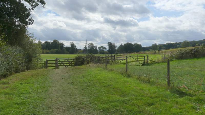
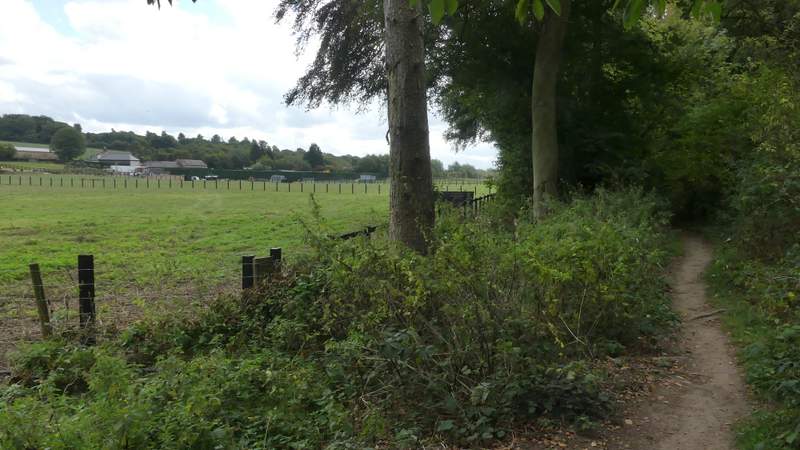
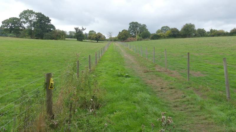
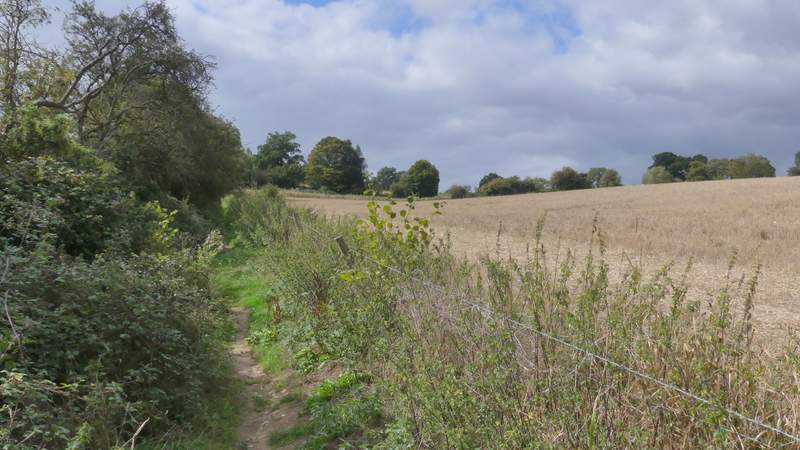
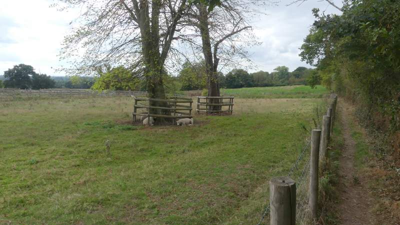
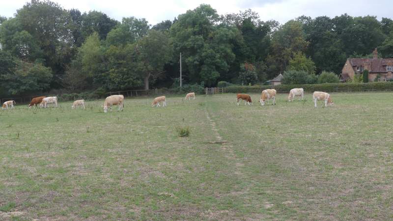
Across the lane the path continued along the valley, first following the left edge of a paddock, then running between fences with paddocks or meadows either side. It then carried on through a tree belt, but after one or two hundred yards I turned right at a path junction, the new path going gently uphill between fences with more paddocks either side. The path continued uphill, between a hedge and a fence with a stubble field on my right. On reaching a track junction I turned right and then immediately left. After about a hundred yards the path left the track but continued straight ahead, between a hedge on my right and a fence on my left, with a sheep pasture on the other side of the fence. This path ended at sharp bend in Botterells Lane, where I turned right along a farm track. After one or two hundred yards, where the track turned right, I turned left through a gate and crossed part of a cow pasture (complete with cows and calves) to reach another gate and Botterells Lane again.
The path continuing southeast from Bottom House Farm Lane
The path continuing southeast along the Misbourne Valley
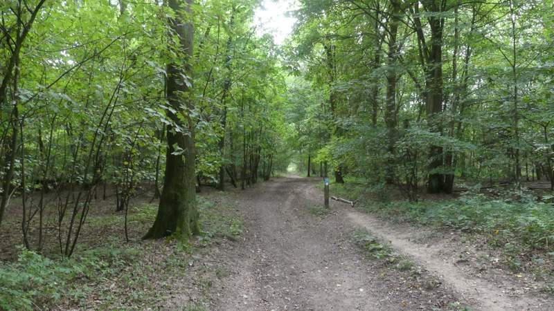
The path after I turned right, heading uphill out of the Misbourne Valley
The path after I turned right, heading uphill out of the Misbourne Valley
The track after I turned right and then left
The path continuing towards a bend in Botterells Lane
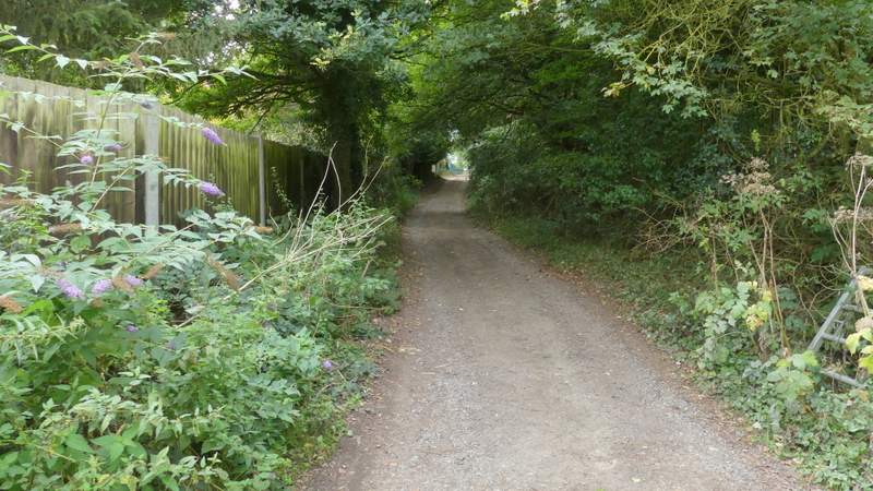
The path approaching Botterells Lane
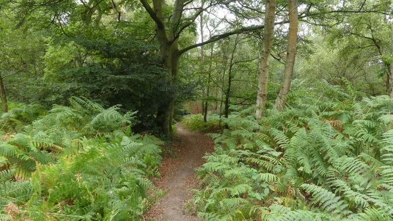
Across the lane I entered Hodgemoor Woods (an Open Access area), soon turning right along a path that would run almost parallel to the lane. When the path forked I took the right fork, still staying quite close to the lane over to my right. After a few hundred yards I reached a car park, where I went straight on. I was now looking for a path going half-left - I must have missed its start, because I spotted the path and had to take a short grassy path between bracken either side to reach it. This path was soon back in the trees, following a slight groove almost imperceptibly downhill. I turned left at its end (opposite a small pond), and then soon took the left fork at another path junction. I went straight on over a crossing track or path, and then looked for a footpath, marked by a waymark post, on the right (actually I could have just gone straight on here to reach Bottom Lane). After a few hundred yards this path merged with a bridleway, where I turned sharply left. I soon reached a bridleway junction at the edge of the woods, where I turned left.
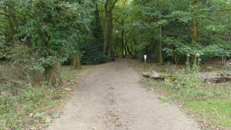
The entrance to Hodgemoor Woods
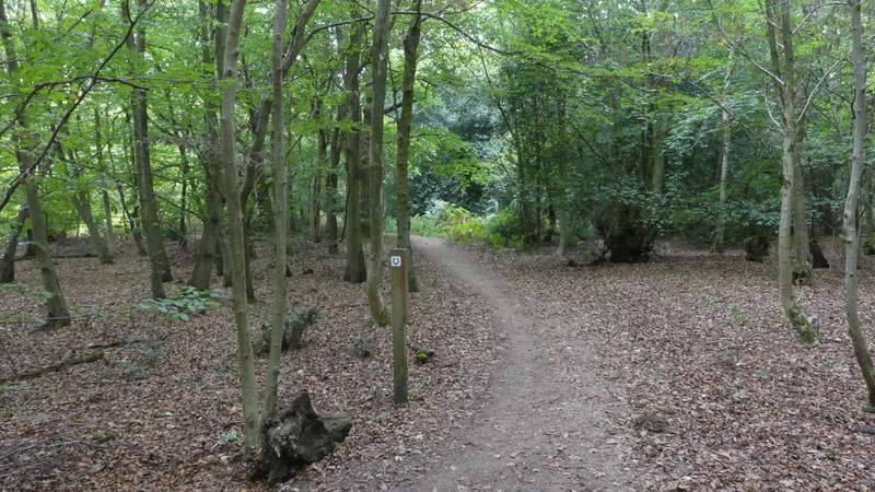
The start of the path after I turned right, parallel to Botterells Lane
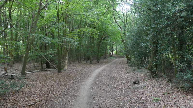
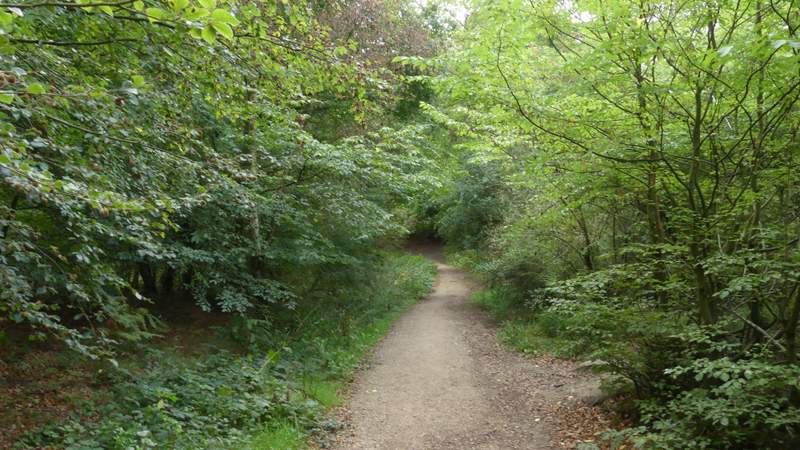
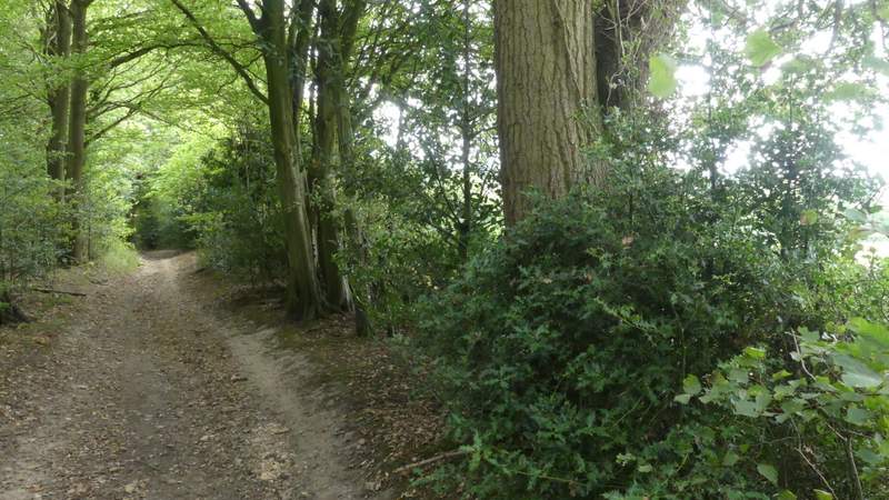
The path parallel to Botterells Lane
The path parallel to Botterells Lane
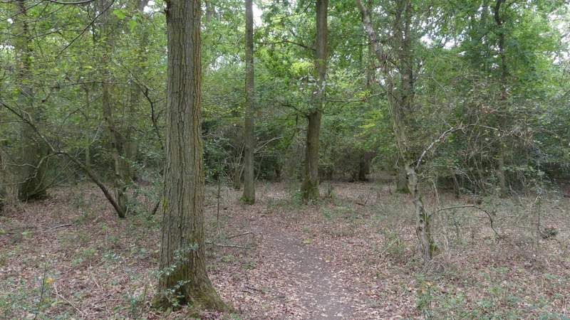
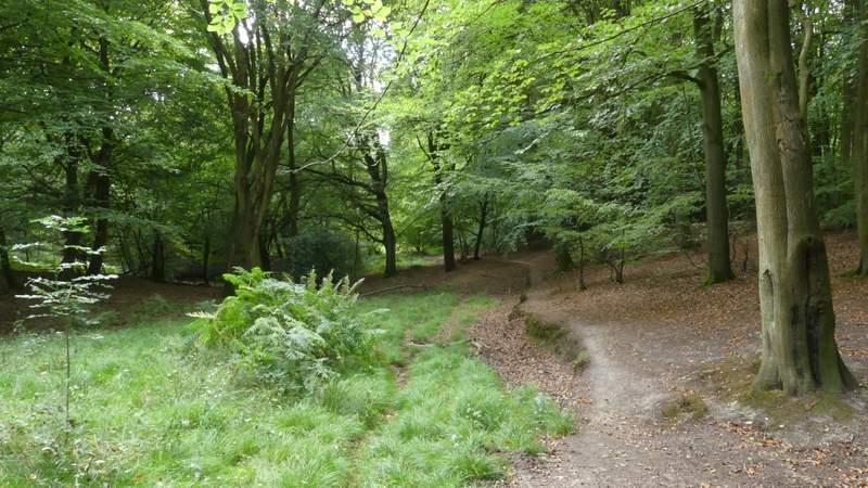
The path after I forked left just after the car park
The path after I forked left just after the car park
The path after I turned left on the edge of Hodgemoor Woods (by a pond)
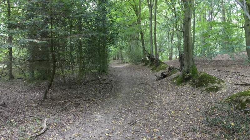
The path after I forked left
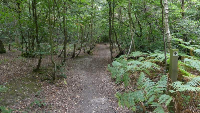
The path after I turned right
The bridleway after I turned sharply left
The bridleway after I turned left again, along an edge of Hodgemoor Woods