Pete's Walks - Cowleaze Wood and Radnage (page 1 of 6)
If you are considering walking this route yourself, please see my disclaimer. You may also like to see these notes about the maps and GPX files.
NOTE (6/11/2025): Parking at Cowleaze Wood is no longer free, there is now a cashless payment system. To see details, click here and then click on the 'Parking and prices' tab.
I did this circular walk of about 12.5 miles on Saturday, 29th December, 2018. It was a repeat of a walk I first did in December 2009, and did once more in October 2011, so it is over eight years since I last did it this way round, though I did it in the opposite (anti-clockwise) direction in April 2017.
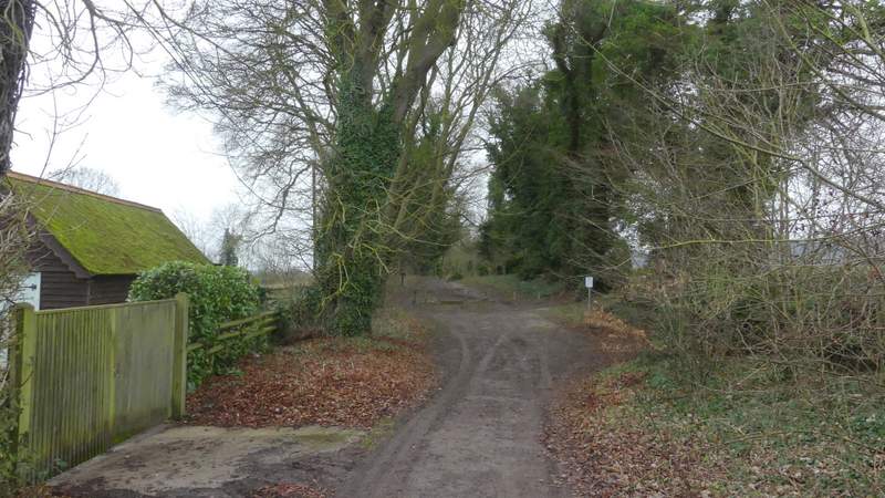
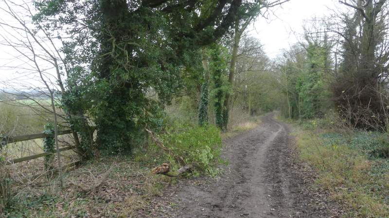
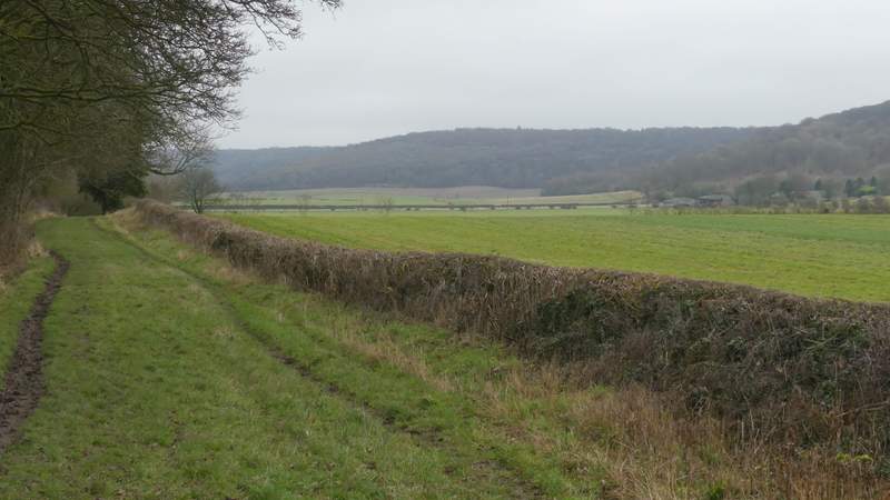
I parked in the Cowleaze Wood car park (grid reference SU 726956), a couple of miles or so west of Stokenchurch. Starting walking about 9.50am, I walked through the car park with the road to my right, continuing along a short path through a small part of the wood which soon brought me to the road. Across it, I took the right-most of two paths starting either side of a tree belt, which followed the tree-belt (on my left) along the edge of a pasture (part of the Aston Rowant nature reserve, I believe) to a gate. Beyond this gate the path dropped quite steeply downhill through bushes or trees. After going through another gate, it immediately turned right across the end of a valley, before turning left and continuing beside Bald Hill on my right. Initially it ran through an area of long grass and bushes, but through a gate it continued along the right edge of a sheep pasture. Through a second gate the path continued through a similar field, but partway through it the path turned half-right through Old Cricketground Plantation. On the far side of the wood, the path crossed another sheep pasture, to reach part of the Ridgeway national trail, where I turned right.
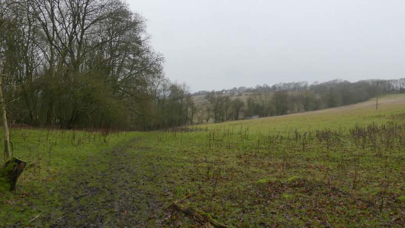
Near the start of the path from Cowleaze Wood
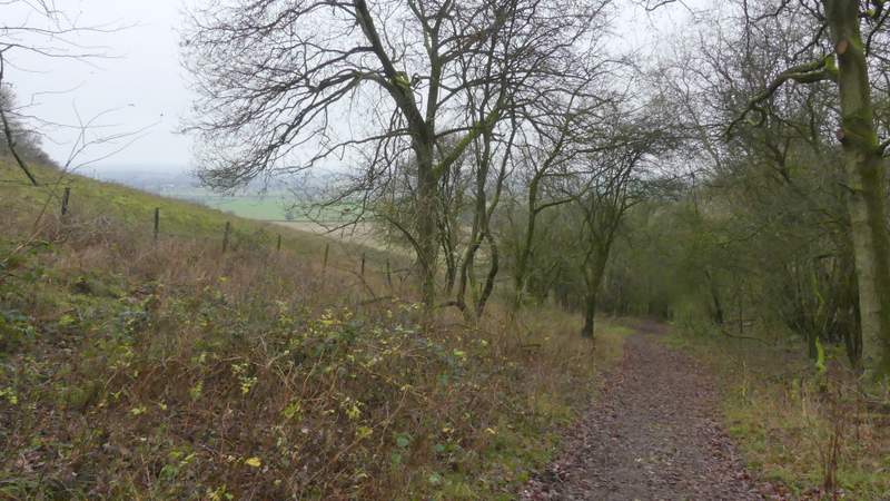
The path from Cowleaze Wood, descending the head of the valley between Shirburn Hill and Bald Hill
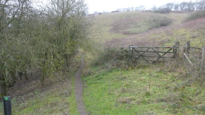
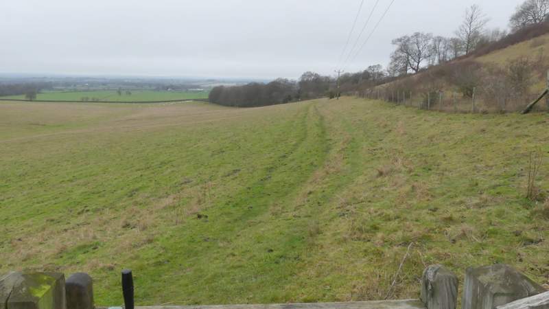
The path after it turns right, towards Bald Hill
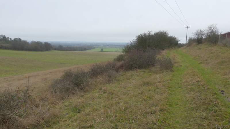
The path continuing alongside Bald Hill
The path continuing alongside Bald Hill
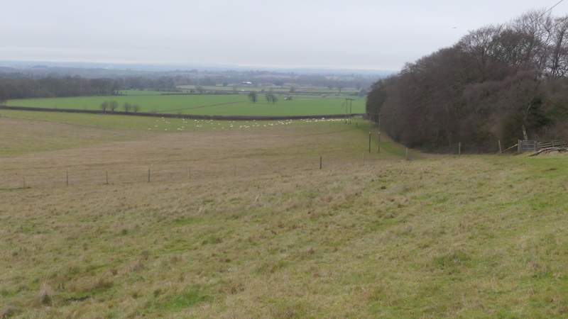
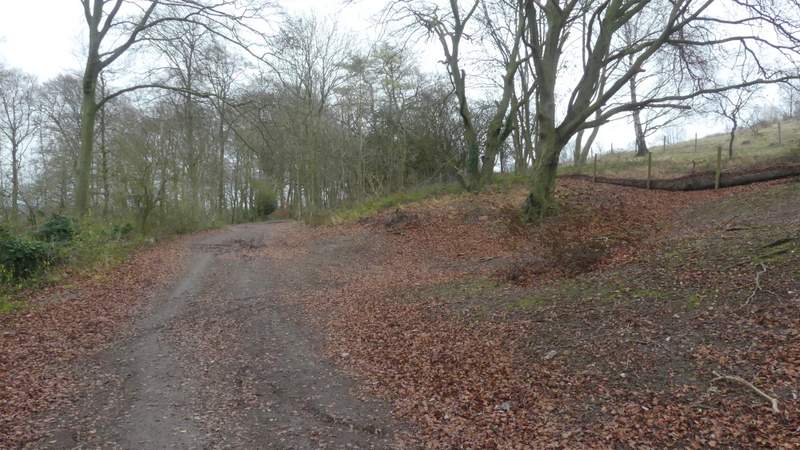
The path approaching Old Cricketground Plantation
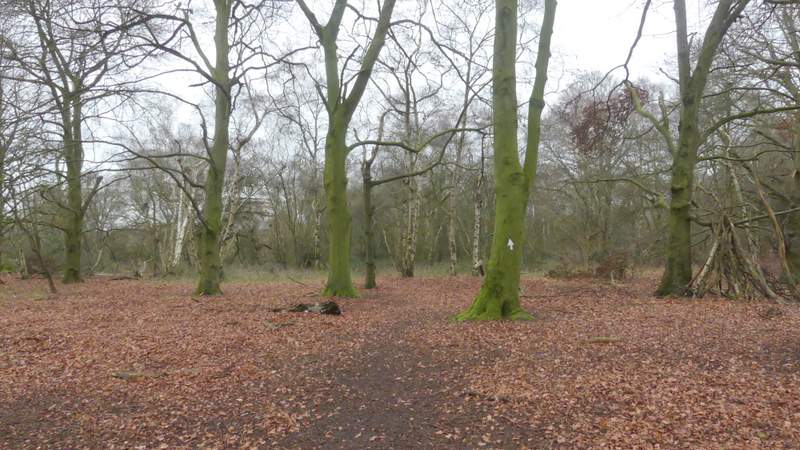
The path continuing through Old Cricketground Plantation
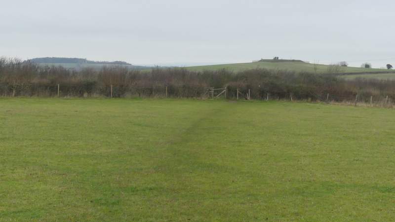
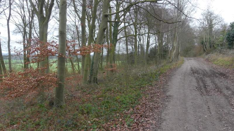
The path between Old Cricketground Plantation and the Ridgeway
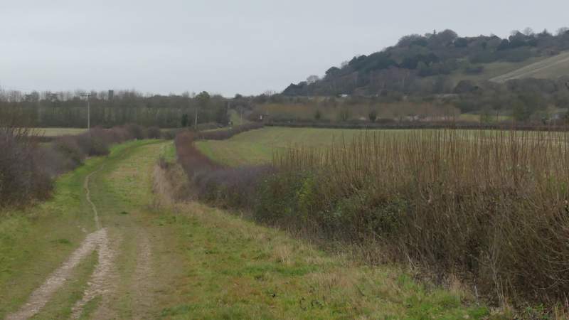
The Ridgeway here ran along a broad strip of grass with hedges either side. After a few hundred yards it passed under the M40 motorway, then continued along the foot of Beacon Hill on my right, passing a small clump of beech trees at one point. After crossing the A40, it continued northeastwards towards Chinnor, soon with hedges either side, and with the wooded Chiltern escarpment across the fields to my right.
After I turned right on to the Ridgeway, heading towards the M40 and Beacon Hill
The Ridgeway continuing past the foot of Beacon Hill
The Ridgeway continuing past the foot of Beacon Hill
The Ridgeway approaching the A40
The Ridgeway after crossing the A40
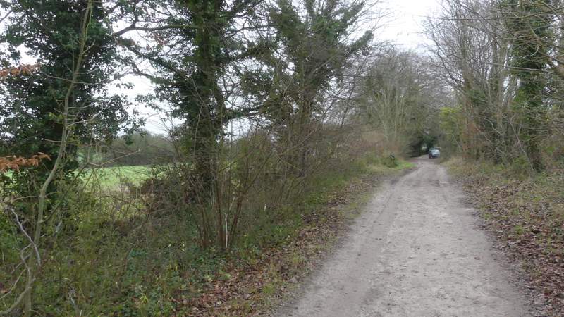
The Ridgeway continuing northeast towards Chinnor
The Ridgeway continuing northeast towards Chinnor