Pete's Walks - Christmas Common, Russell's Water, Nuffield (page 1 of 6)
If you are considering walking this route yourself, please see my disclaimer. You may also like to see these notes about the maps and GPX files.
I did this circular walk of about 15.9 miles on Saturday, 9th February, 2019. It was intended to be a repeat of a walk I did in May 2017 walk, but because of heavy rain near the end of the walk I shortened the route slightly by taking a different path up Watlington Hill (I have shown this alternative on my Google map).
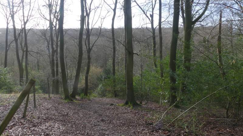
I parked in Christmas Common, in the small parking area by the start of the road to Northend (grid reference SU 714933), and started walking at about 9.45am (I'd managed to leave home around 8.45am, quarter of an hour earlier than usual). I went a few yards back to the junction with the road through the village, and turned left, following the road past the Fox and Hounds pub and then out of the village, heading towards Greenfield. I used a high verge on the right as I went round an awkward bend in the road that otherwise might have been dangerous as oncoming vehicles wouldn't have seen me until the last minute. The road walk didn't seem as long as I remembered, but when I took a bridleway on the left (just after an entrance to Watlington Park on the right) I checked my watch and it had taken me 10 minutes to get there, the same as when I did this walk almost two years ago. The bridleway followed a broad grassy track with a fence on my left for a few hundred yards, then turned left into College Wood (that's the nearest name on the OS map, but that's in part of the woods here that is shown as an Open Access area whereas the bridleway runs through an area that isn't so marked, hence my suspicion it's a different wood, unnamed on the map). The bridleway ran along a track that followed the bottom of a deepening valley, with the wood rising up on either side. I was relieved that it wasn't too muddy here, as I was expecting the paths to be very wet today after last weekend's snow and a lot of rain this week, and the sizable puddles in the road through Christmas Common had hardly been an encouraging sign. As it happened I would be very lucky, apart from a couple of hundred yards of bridleway on the way to Cookley Green the paths were nowhere near as muddy as I'd feared they'd be today.
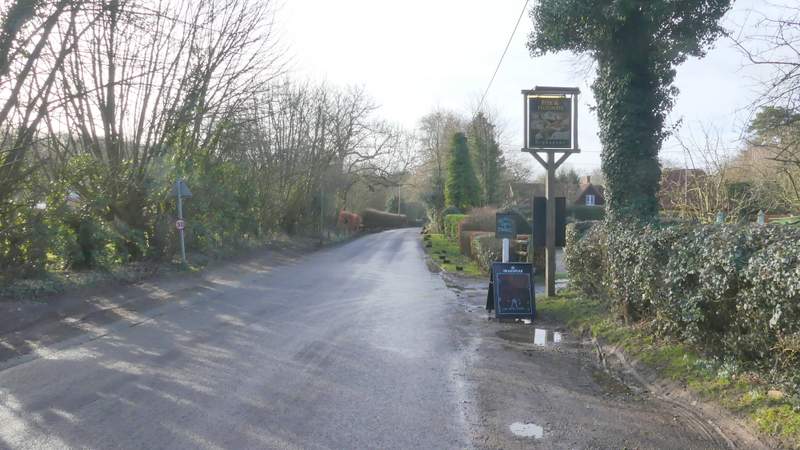
The road through Christmas Common
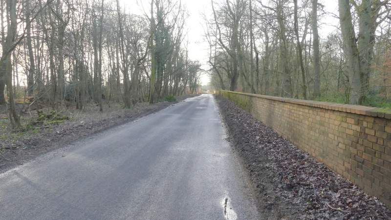
The road continuing, just outside Christmas Common
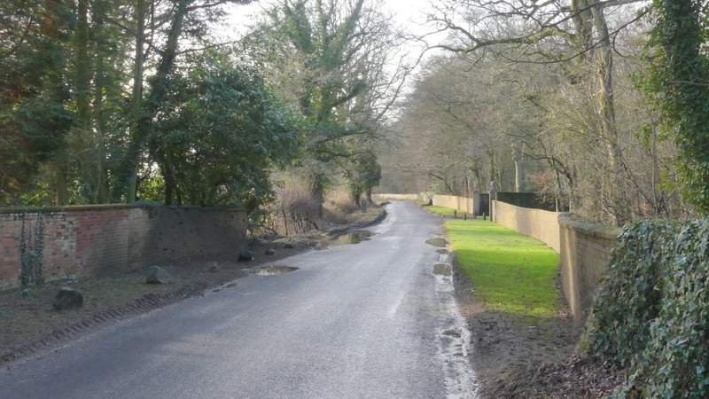
The road shortly before I took a bridleway on the left
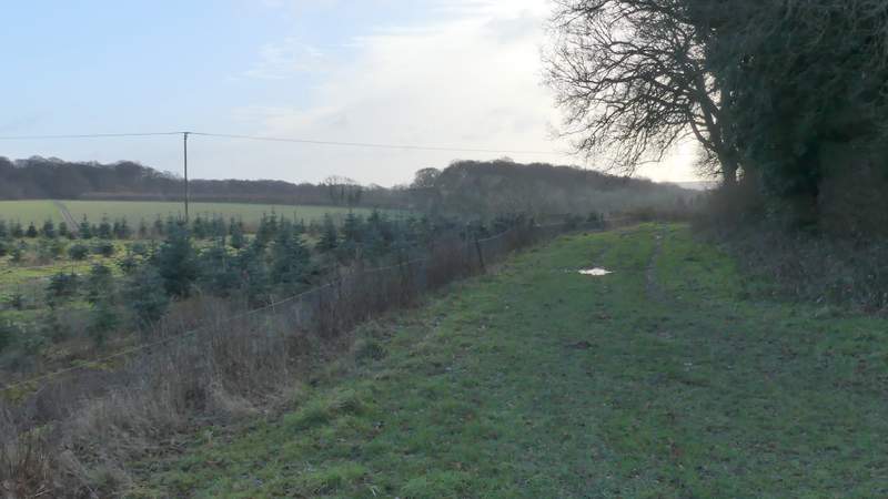
The start of the bridleway to College Wood (that's the nearest name on the OS map, anyway)
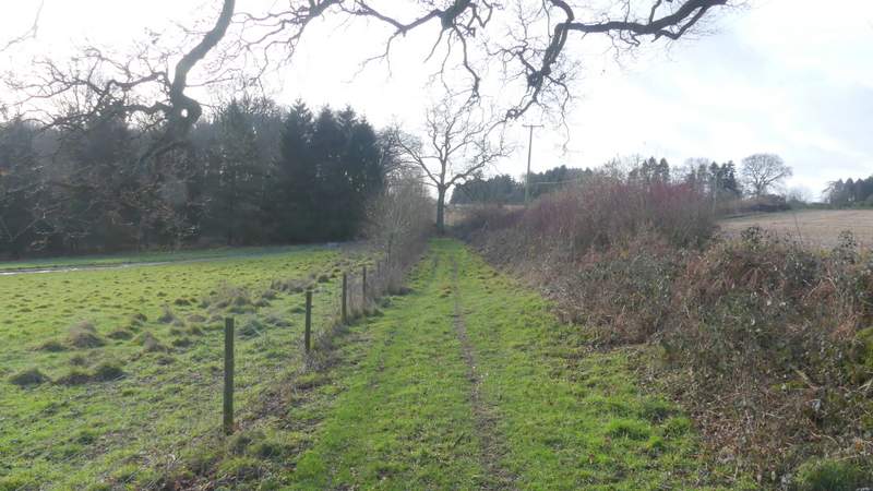
Approaching College Wood
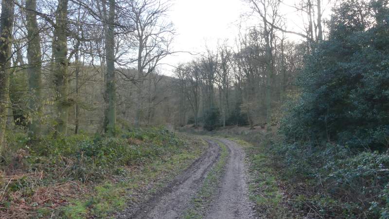
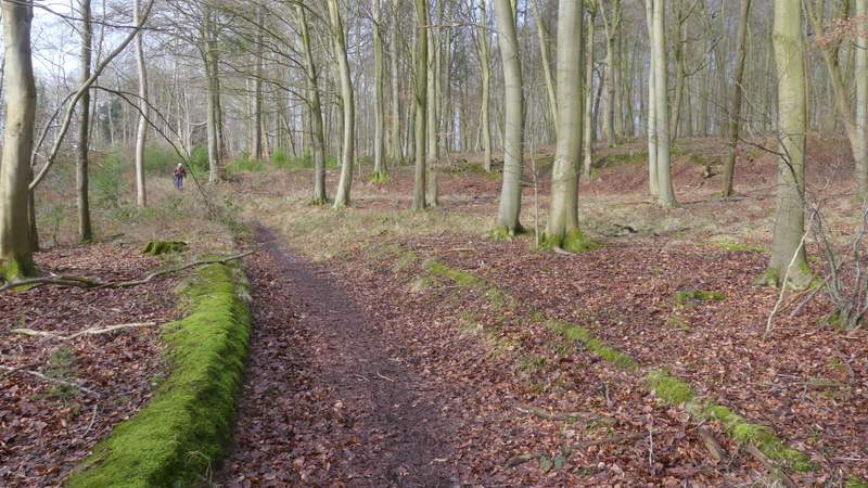
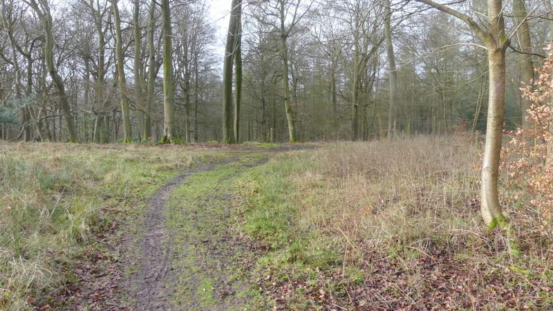
College Wood

College Wood
College Wood
College Wood
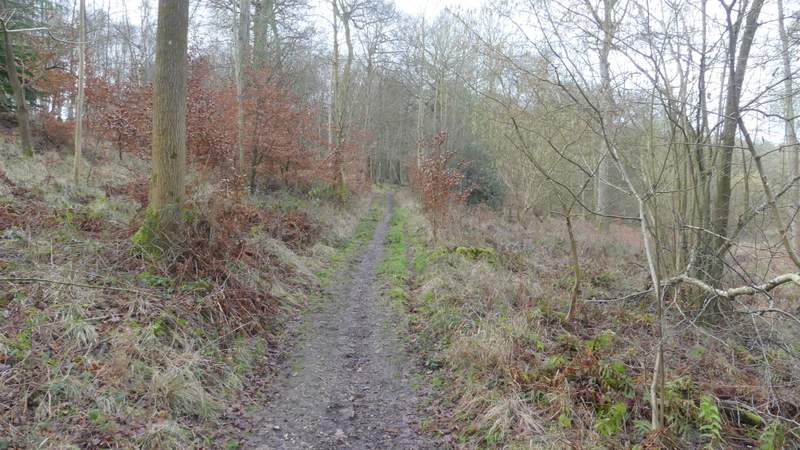
I followed the bridleway through the wood for over half a mile, then turned right at a bridleway T-junction (the track went straight on here, but was no longer a right of way). The junction is a little confusing as a track goes right just a few yards before the bridleway does and could easily be followed by mistake. The bridleway (part of the Chiltern Way, so there were 'cw' signs as well as arrows to point the way) rose very gently uphill for a few hundred yards - this section is in the area shown as 'Open Access', so this probably is College Wood. It then turned left and dropped down into another valley where it crossed a track, where another bridleway went right. Going straight on (I think this was where I entered Greenfield Wood), the bridleway turned right and rose gently up the other side of the valley, accompanied by a tall wire fence on my right for a while near the top of the slope. The path then dropped down and up through another small valley, then further on I passed a junction where another path or bridleway went right and about this point I entered Shambridge Wood. After a while the bridleway bore slightly right and a fence appeared a little to my left. Shortly after the fence turned left, a white arrow showed where a permissive path went left (the Chiltern Way went straight on). I took the permissive path, which soon was running close to that fence I'd just seen, and dropped quite steeply downhill through the trees to reach a minor road at Pishill Bottom.
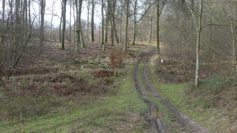
The bridleway after I turned right in College Wood
The bridleway after I turned right in College Wood
The bridleway after I turned right in College Wood (this is where it drops down into a valley where another bridleway goes right)
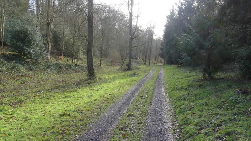
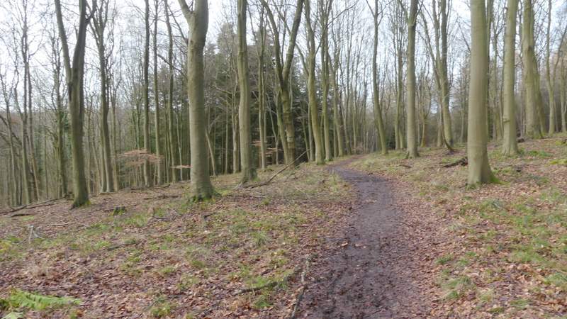
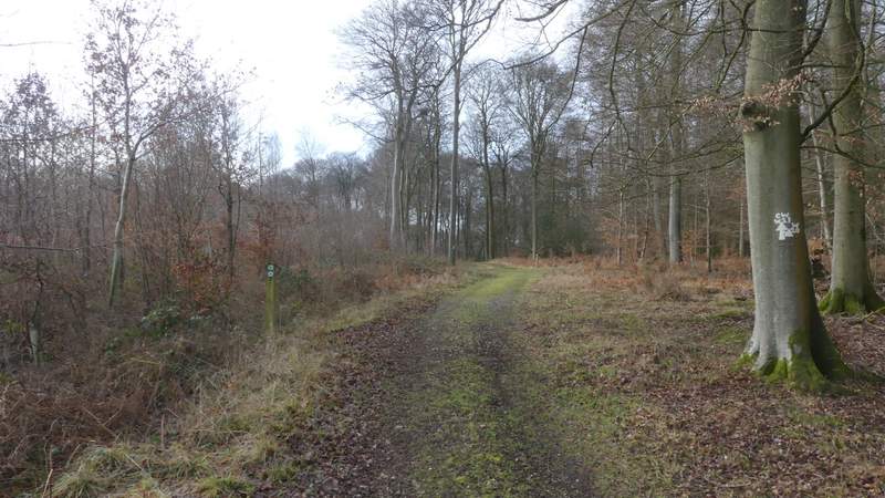
The bridleway rising up the other side of the valley, now in Greenfield Wood
Greenfield Wood
Greenfield Wood
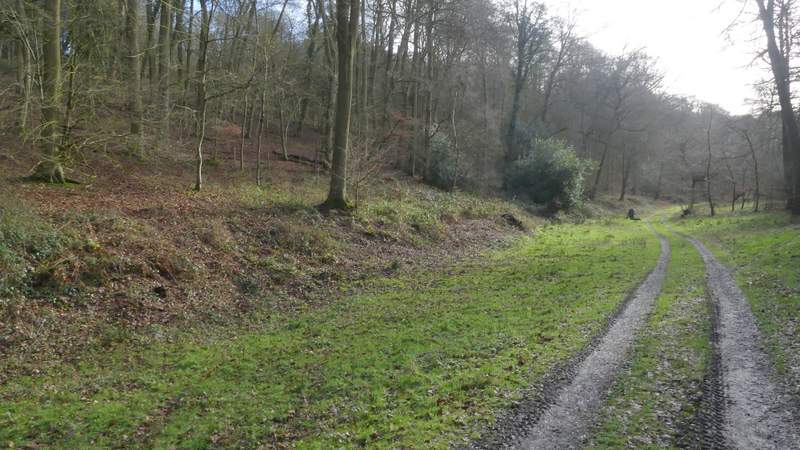
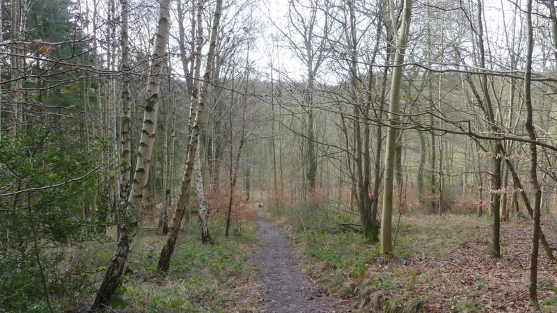
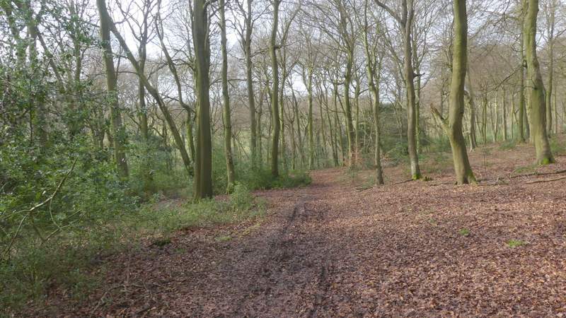
Shambridge Wood
Shambridge Wood (I turned left onto a permissive path opposite the first tree on the right of the bridleway)
The permissive path descending to the road at Pishill Bottom