Pete's Walks - Christmas Common, Russell's Water, Nuffield (page 2 of 6)
If you are considering walking this route yourself, please see my disclaimer. You may also like to see these notes about the maps and GPX files.
Across the road a path started along a driveway and entered a wood - it was obviously an old path, as it had worn a small groove in the ground. The path left the wood at the northern tip of Russell's Water Common, where I went straight on along the edge of the common, which stretched away to my left. The path followed the edge of the common as it curved left. Just after the trees on my right ended I crossed a drive, the path going straight on, heading south east but soon turning more to the south and cutting across a corner of the common. I eventually came to a path junction where I turned right, along a path heading just left of a white house, where I reached the lane from Maidensgrove to Russell's Water.
The path to Russell's Water Common from Pishill Bottom
The path to Russell's Water Common from Pishill Bottom
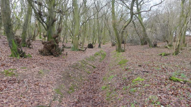
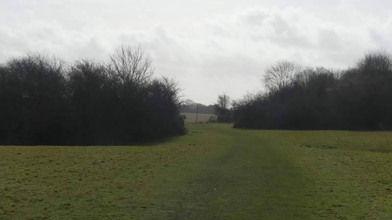
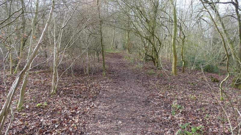
Russell's Water Common
Russell's Water Common
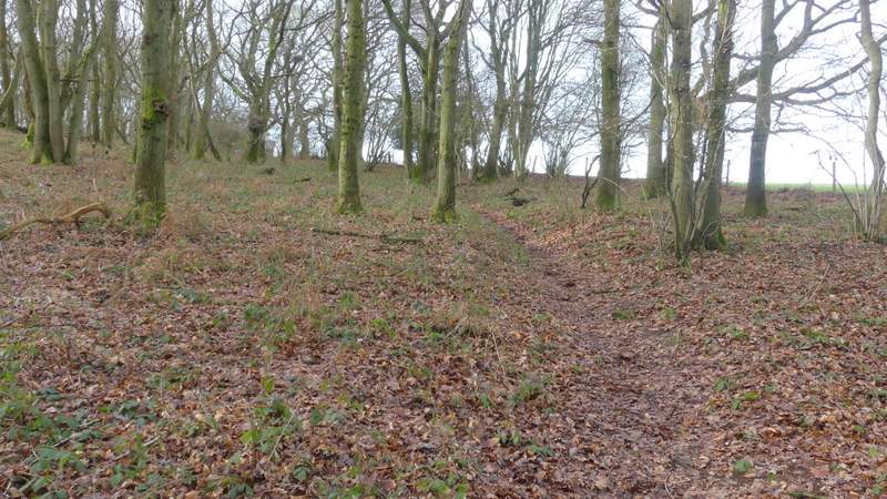
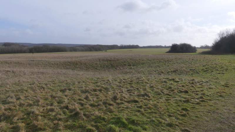
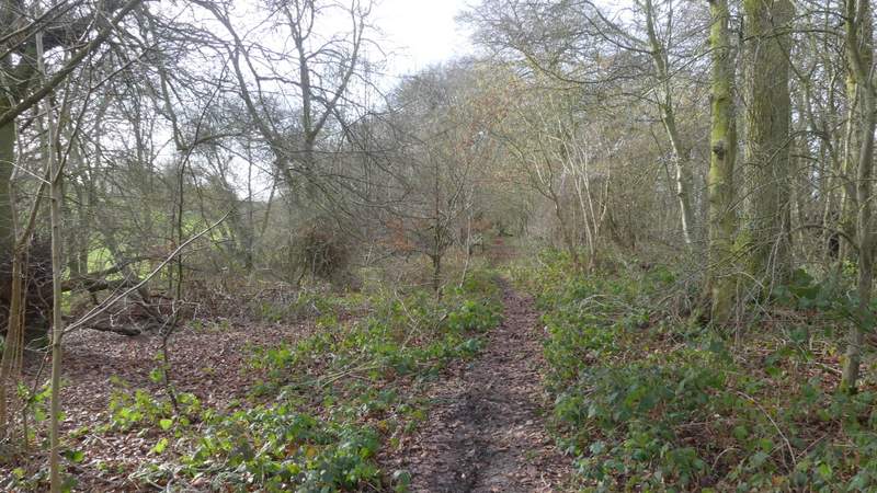
Russell's Water Common or possibly Maidensgrove Common, I don't know where the boundary between them is
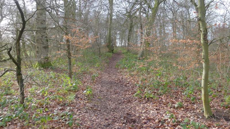
Maidensgrove Common
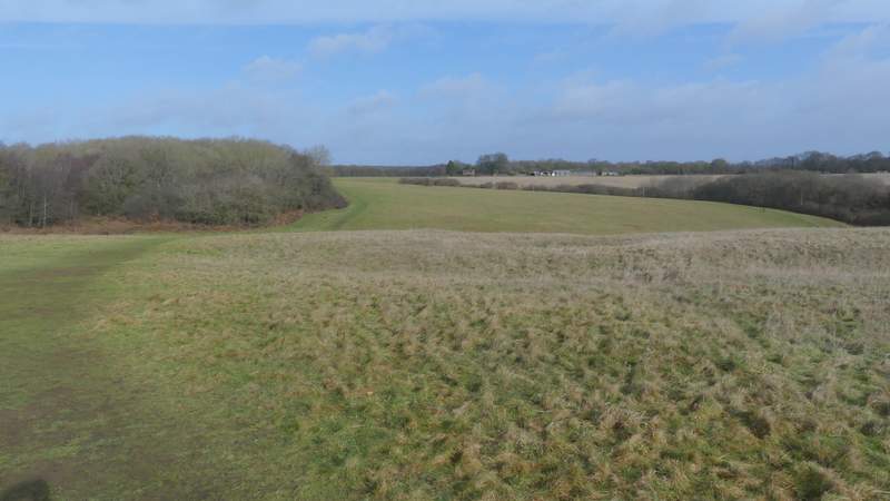
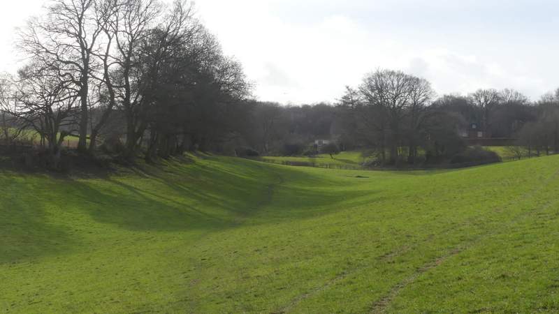
View back from Maidensgrove Common
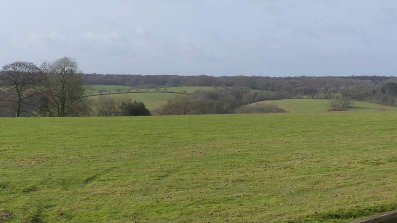
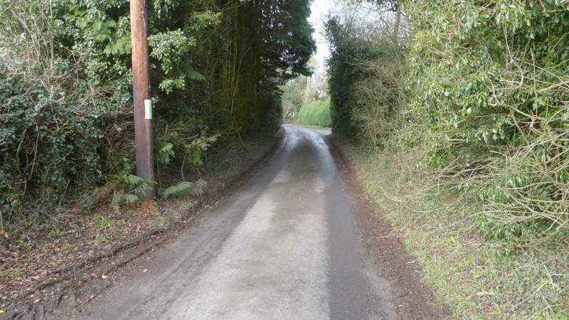
View from where I joined the lane
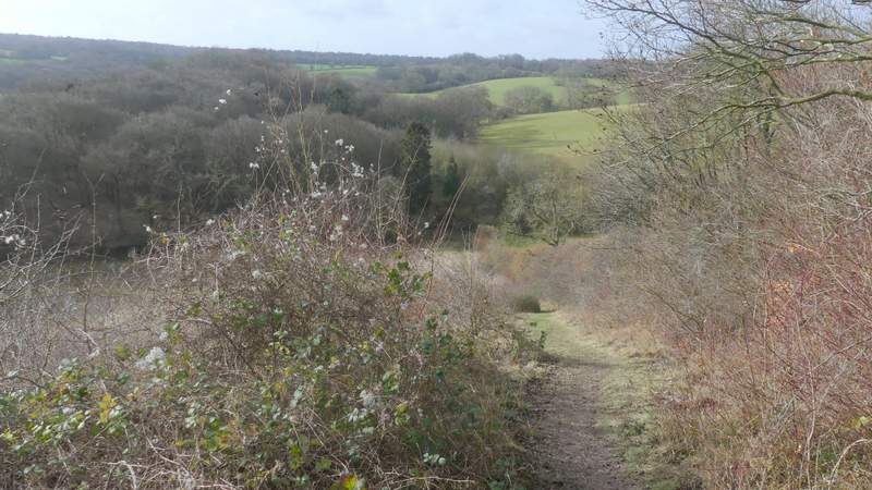
I turned right along the lane, soon passing the Five Horseshoes pub on my left, After another hundred yards or so, I took a footpath on the left. This initially had a garden fence on my left, then passed a field of rough grass on that side. After passing this field the path dropped down a short flight of 'steps', then turned right to go a short way between bushes, then turned left to drop down a steep scrub-covered hillside, with a hedgerow to my right. This was tough on my arthritic knees, but this was more than made up for by the fine views here.
The lane just after The Five Horseshoe's pub in Maidensgrove
T 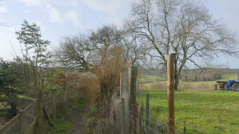
The path from near The Five Horseshoes
The path from near The Five Horseshoes
The path from near The Five Horseshoes
The path from near The Five Horseshoes
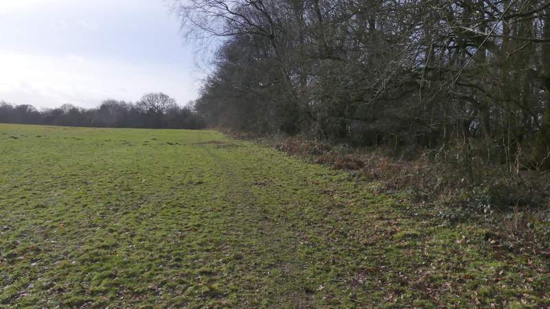
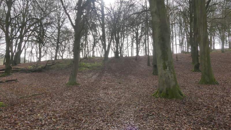
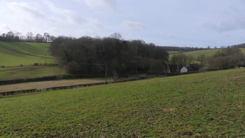
At the bottom of the slope I crossed a bridleway and went half-left through a small beech wood (another path went straight on here, that being another part of the Chiltern Way). On reaching the edge of the wood, I went straight on across a large grassy field - I tried to stay level, neither going up nor downhill, and aiming just right of the top of a pylon I could see. Eventually I could see a gate in the far hedgerow, beyond which the path continued across a small paddock or pasture. I then crossed another bridleway, the path following the edge of a field for a few yards until a track entered the field, where I went through a small gate and continued very gradually uphill through a wood (which is possibly named Berrick Trench). At the far end of this wood, the path continued across a pasture or meadow, aiming for the far left corner. It then ran along the left side of a large garden to reach the drive or track in the hamlet of Magpies.
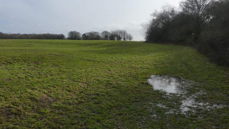
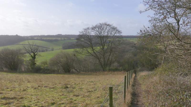
The path going south, after I crossed a bridleway
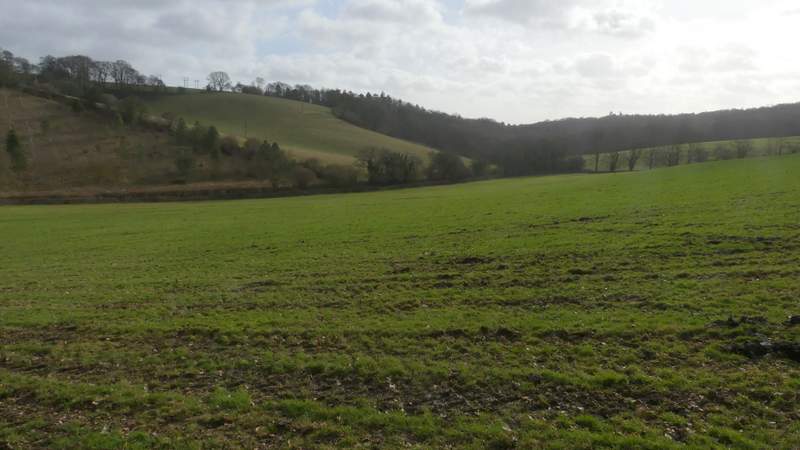
The path going south, after I crossed a bridleway
The path going south, after I crossed a bridleway (Westwood Manor Farm is on the right of this photo)
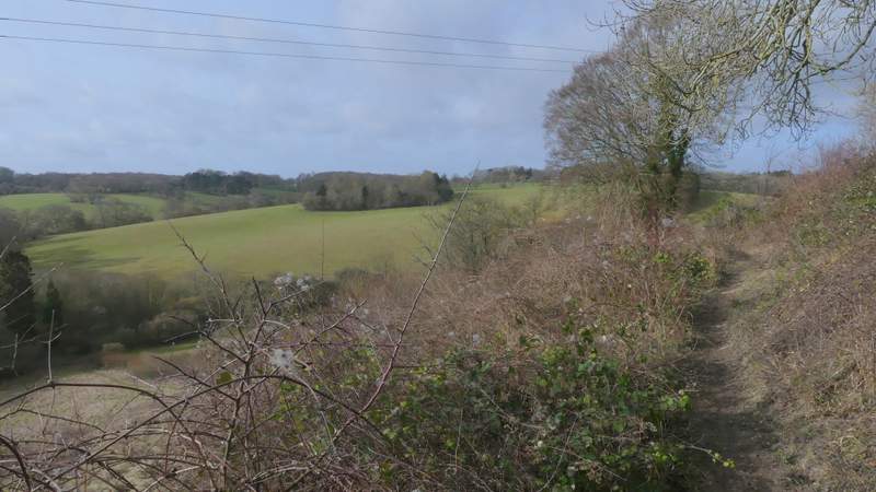
The path To Magpies. This wood is possibly called Berrick Trench, but that name is printed at an angle on the OS map, unlike other wood names. A quick Google shows that Berrick Trench is an SSSI (Site of Special Scientific Interest) containing a few rare flower species.
The path To Magpies
The path To Magpies
The path approaching Magpies