Pete's Walks - Ashridge and Aldbury (page 1 of 3)
If you are considering walking this route yourself, please see my disclaimer. You may also like to see these notes about the maps and GPX files.
I did this circular walk of about 6.1 miles on Saturday, 2nd March 2019. It was a repeat of a walk I first did in March 2014 and have repeated at least once since, but this time was the first time I'd walked it in the anti-clockwise direction. There were a few paths that I'd be walking for the first time in this direction. I managed to go slightly wrong at one point, and have marked this as 'Alternative 1' on my Google map of the walk. I could only manage a Saturday afternoon walk this weekend, so this short local route was ideal for my purposes.
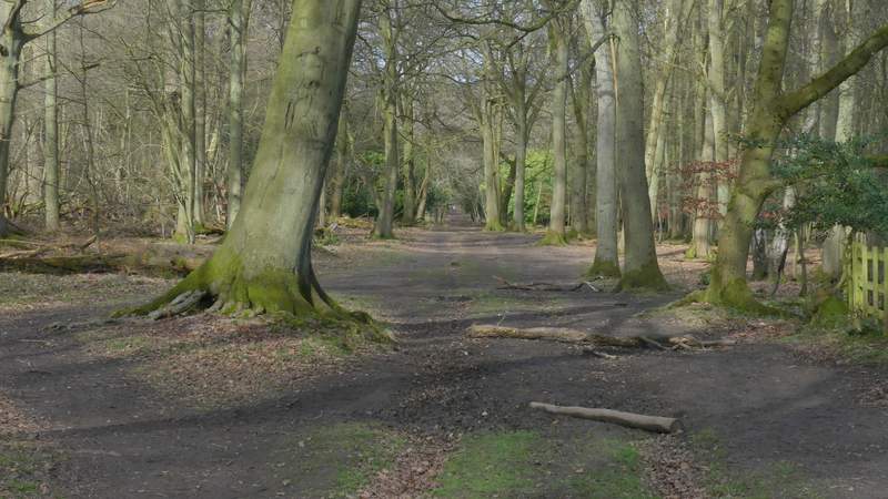
I parked at a car park in Ashridge, along the minor road that leads to Aldbury, quite close to the hamlet of Tom's Hill (Grid Reference SP 972118) There was no sign of a path starting on the other side of the road, so I just made my way through the trees (it's an Open Access area) as best as I could, bearing slightly right. I found a path after about two hundred yards, where I turned right. At the second waymark post I came to I took the left fork, and soon reached a bridleway where I turned right again. I quickly came to a crossing where I turned left onto a broad footpath (for years I assumed it was a bridleway!), which I am very familiar with from many of my walks in Ashridge (it goes to the drive to the Bridgewater monument, but I wasn't going quite that far along it today).
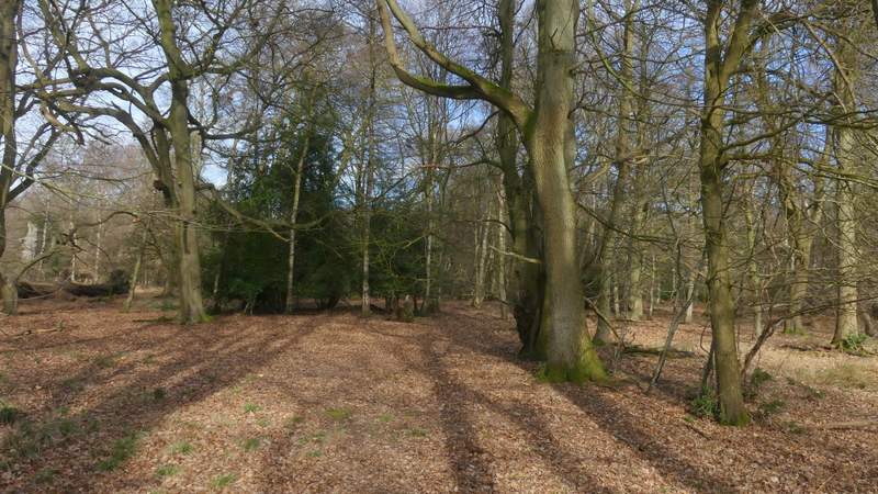
The start of the walk - I just mad my way through the trees, bearing slightly right
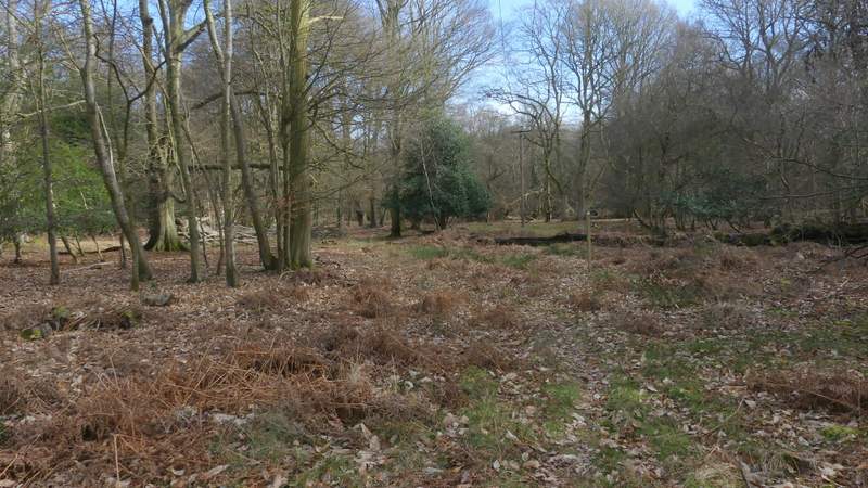
This is where I turned right along a path (you can see a waymark post a few yards ahead of me, the path bears slightly left from there
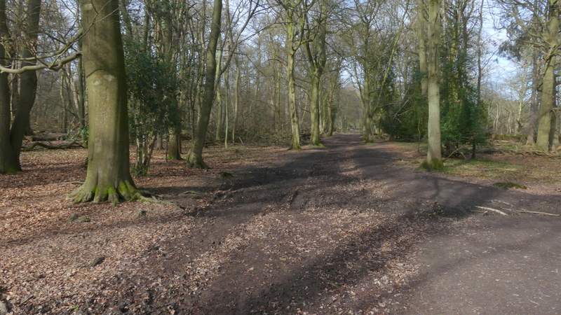
This is where I joined a bridleway, again turning right
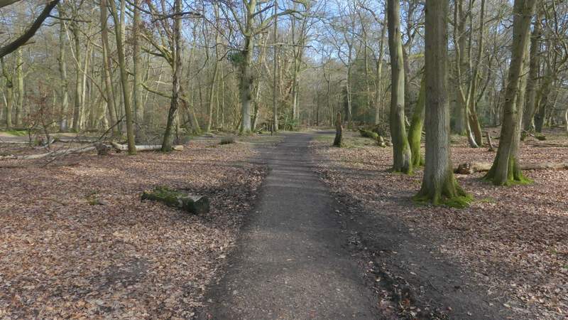
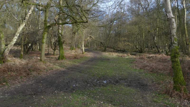
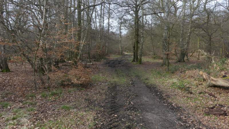
This is where I turned left along a very familiar footpath (heading towards the drive to the Bridgewater Monument)
I followed the path through the woods, as usual meeting quite a few people coming the other way. I soon passed a large pasture on the right (it's bordered by the woods of Ashridge on three sides, the side opposite to me being next to the minor road from Ringshall to Northchurch), and as usual there were a large number of Fallow deer in it (what the cows who are the rightful occupants think of them, goodness knows!). I went straight on when a bridleway crossed the path, but when a second one crossed the path I turned right along it. The drive to the Bridgewater monument was now nearby on my left (I could glimpse cars through the trees), and as I followed the bridleway it was gradually drawing nearer to the drive.
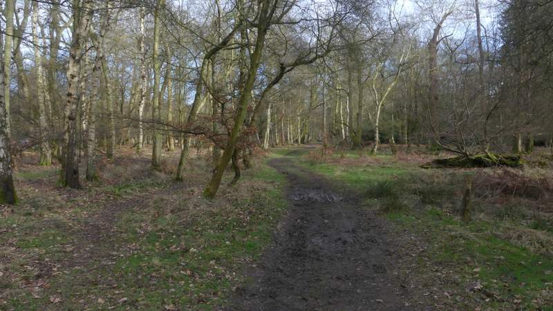
Further along the footpath
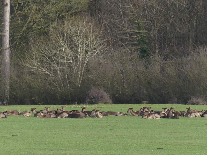
Fallow Deer in the field next to the Ringshall-Northchurch road
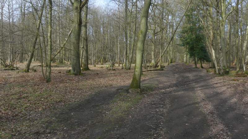
Further along the footpath
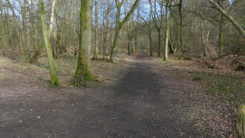
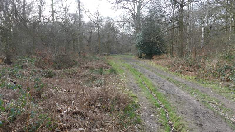
The bridleway after I turned right - it gradually gets closer to the drive to the monument (I could glimpse parked cars through the trees to the left)
Further along the bridleway
Further along the bridleway
The bridleway ended when it reached the Ringshall-Northchurch road, where I turned left and within a few yards came to where the drive from the monument met the road. I crossed the drive and took a bridleway starting on the other side, which went left and gradually angled away from the drive, still in the woods of Ashridge. I followed the bridleway for several hundred yards until it came to a bridleway T-Junction, where I turned half-left. In a few hundred yards, the new bridleway brought me back to the drive, very close to the Bridgewater monument.
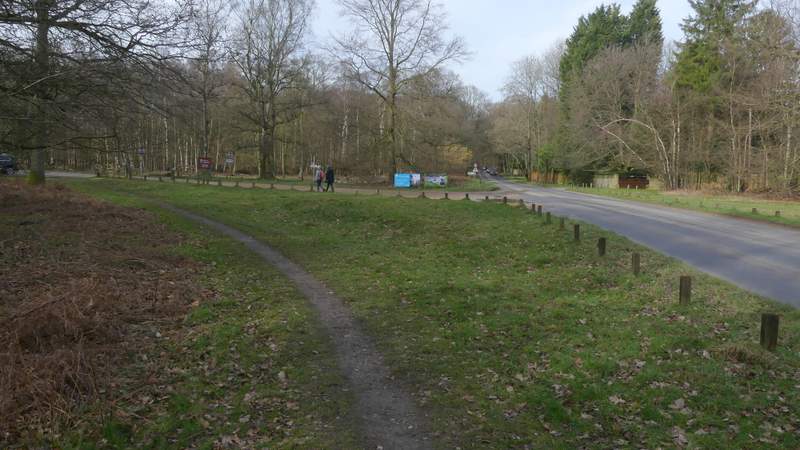
Where the drive from the Bridgewater Monument meats the Ringshall-Northchurch road
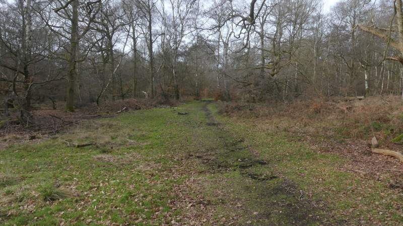
The bridleway on the other side of the drive from the monument, gradually moving further away from the drive (again on my left)
Further along the bridleway
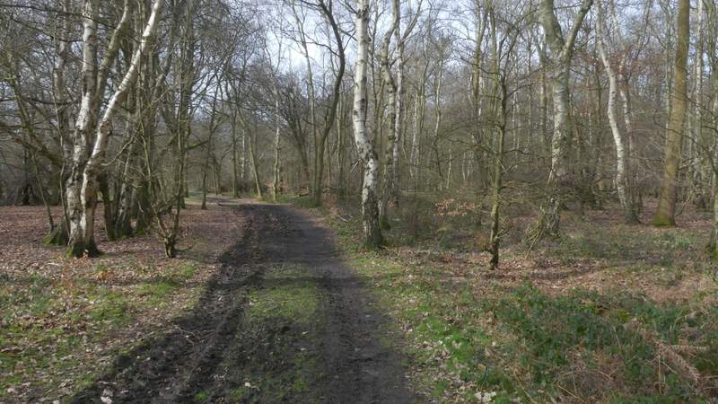
Further along the bridleway
The bridleway after I turned left, heading to the drive to the Monument
The Bridgewater monument was erected in 1832 in memory of the third Duke of Bridgewater, who played an important part in the development of canals in this country. At the end of the drive I took the leftmost of two tracks, which soon passed the National Trust tea shop on my left, with the monument to my right. The track continued as a bridleway, dropping gently downhill through the trees towards Aldbury. Another bridleway joined it sharply from the right, then after another hundred yards I came to a fork where I went right, continuing downhill.
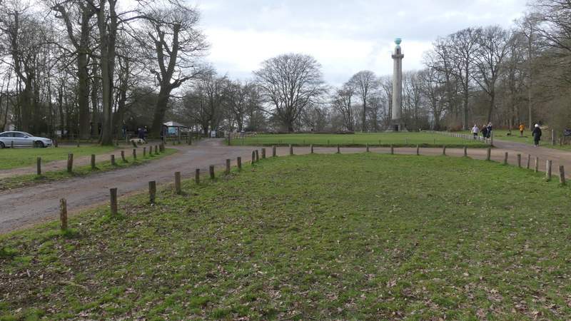
Approaching the Bridgewater Monument (I followed the track on the left, which passes the National Trust tea shop
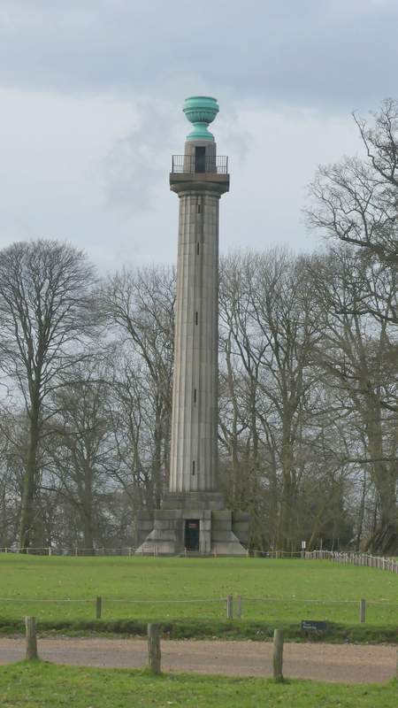
The Bridgewater Monument, Ashridge
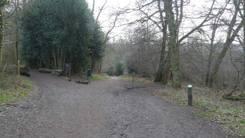
The bridleway from the monument to Aldbury
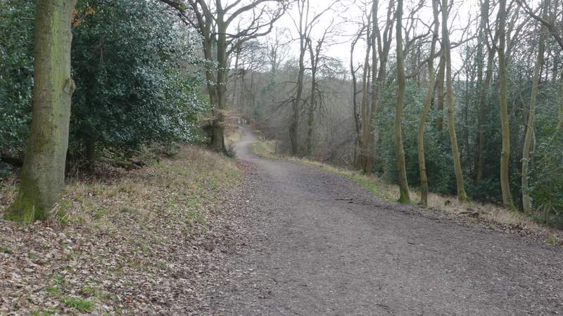
The bridleway from the monument to Aldbury (it forks right, downhill, along here)
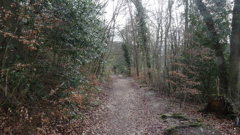
The bridleway from the monument to Aldbury